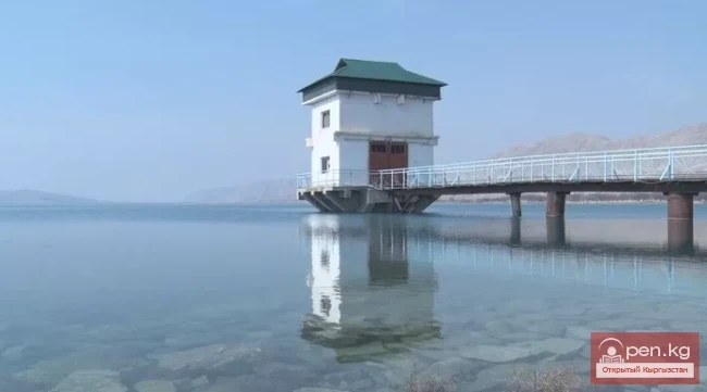
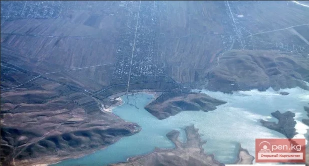
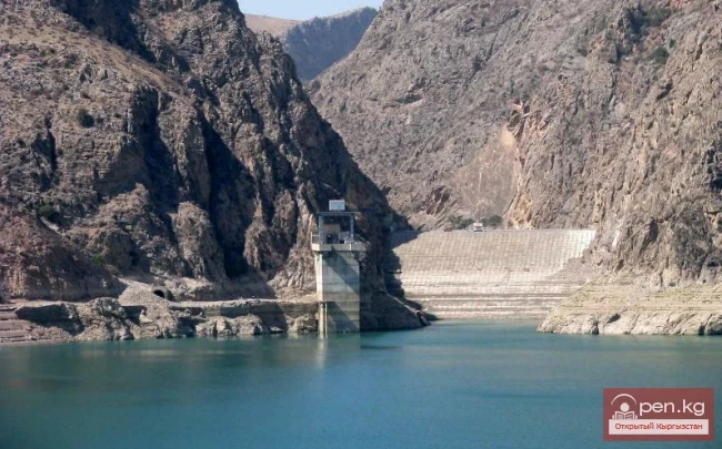
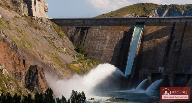
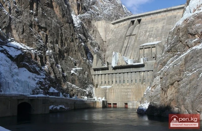
Uch-Kurgan Hydroelectric Power Station — a hydraulic engineering structure, a run-of-river hydroelectric power station (HPP), built on the Naryn River, 12 kilometers from the city of Uch-Kurgan (Namangan region of Uzbekistan) and two kilometers from the Uch-Kurgan — Tash-Kumyr railway line. This convenient location for constructing the HPP was first selected by engineer Kuznetsov in 1913. On November 30, 1958, the concrete was laid in the building of the Uch-Kurgan HPP. On January 27, 1959,
Tortkul Reservoir is a unique structure. It is located in the Batken region on the Isfara River. The area of the reservoir is 6.6 square kilometers, and its volume is 90 million cubic meters of water. Since the river is fed by glacial and snow melt, the reservoir is primarily filled due to melting snow and other sources. Approximately 60 million cubic meters are used annually during the irrigation season, leaving about 30 million in reserve. The critical volume is 15 million cubic meters of
Reservoir in the Valley of the Ak-Bura River The location of the Papan irrigation reservoir basin is in the valley of the Ak-Bura River near the Kaptarsky massif, after the dam was built at the point of greatest narrowing of the Papan Gorge, in the Osh region of southern Kyrgyzstan. It is located 20 km south of the city of Osh. The structure can withstand an earthquake of up to 9 points. The dam of the reservoir has a length of 90 meters and a height of 70 meters. Until 2003, the reservoir was
Kurpsayskoye Reservoir — a canyon-type reservoir Kurpsayskaya Hydroelectric Power Station — HPP on the Naryn River in Kyrgyzstan. It is the second most powerful hydroelectric station in the country, after the Toktogul HPP. It is part of the Naryn-Syrdarya cascade of hydroelectric power stations. The dam of the HPP forms the Kurpsayskoye Reservoir with weekly regulation. It is located in a narrow mountain gorge. In the area of the dam, the gorge with slopes of 35-40 degrees rises above the bed
Orto-Tokoy Reservoir — a reservoir on the Chu River. It is located 2 km west of the village of Orto-Tokoy, on the border of Naryn and Issyk-Kul regions, at an altitude of 1700 meters. The construction plan for the reservoir was approved by the decree of the Central Committee of the All-Union Communist Party (Bolsheviks) and the Council of People's Commissars of the USSR on March 19, 1940. Construction began in 1941 and was completed in 1960. The elevation above sea level is 1700 m. The
Orto-Tokoy (Kasansay) Reservoir — a reservoir in the Ala-Buka District of the Jalal-Abad Region of Kyrgyzstan. It is located on the Kasansay River, a right tributary of the Syr Darya. Construction of the reservoir began in 1941, but was halted due to the war. After its conclusion, the reservoir was completed — its volume is 165 million cubic meters, the surface area (km²) is 8.0; length (km) is 5.2; width (km) is 3.5; maximum depth is 63 meters. According to the land allocation case for the
The Reservoir with Two Names Kara-Burinskoye Reservoir is located in the Talas region on the border of the Manas and Kara-Burinsk districts, in the Chon-Kapka gorge. The main function of the structure is to irrigate dry lands in the Talas valley and Kazakhstan with water from the Talas River, accumulated in winter and spring. Kirov Reservoir is its second name. Construction began in 1965 and was completed in 1975. During the Soviet era, the district centers were named the village of Pokrovka
The Toktogul Reservoir can be called the water pearl of Kyrgyzstan. It is located on the Naryn River and is not only the largest in the country but also in all of Central Asia. The volume of the reservoir is 19.5 km³, with a useful water volume of 14 billion. The surface area is 284 km². The average depth is 215 m. Its dimensions are 65 × 12 km. Looking at the vast water expanse, it is hard to believe that this is a creation of human hands. The hydroelectric power station provides Kyrgyzstan
According to their morphometric data and regime, artificial water bodies—reservoirs—are similar to lakes. They are created by human hands for the rational use of water resources and over time integrate into the natural-territorial complex as one of the components of the landscape.