Kara-Burinskoye Reservoir

admin Reservoirs
VK X OK WhatsApp Telegram
Kara-Burinskoye Reservoir

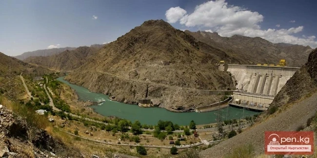
The Reservoir with Two Names


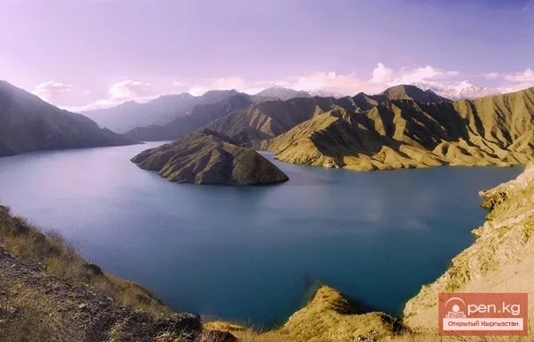
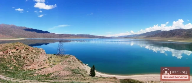
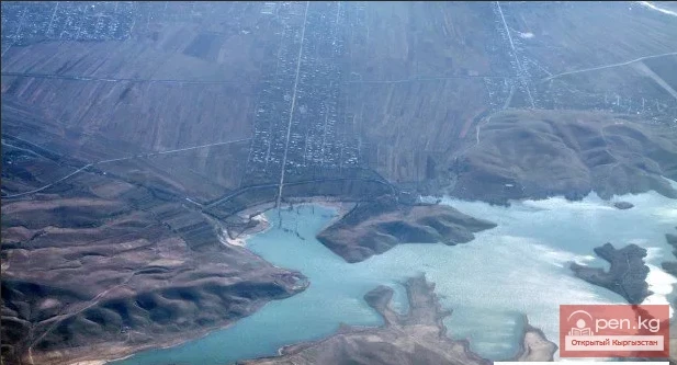
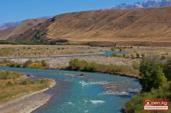
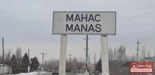
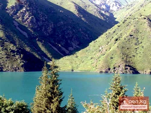
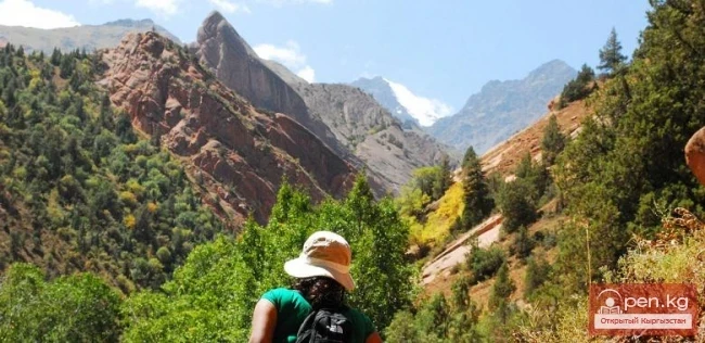
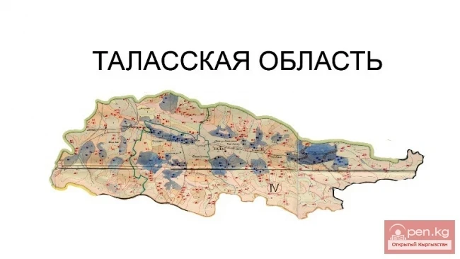
Kara-Burinskoye Reservoir is located in the Talas region on the border of the Manas and Kara-Burinsk districts, in the Chon-Kapka gorge. The main function of the structure is to irrigate dry lands in the Talas valley and Kazakhstan with water from the Talas River, accumulated in winter and spring. Kirov Reservoir is its second name.

Construction began in 1965 and was completed in 1975. During the Soviet era, the district centers were named the village of Pokrovka (village of Manas and the eponymous district), while the village of Kirov was known as the town of Kara-Bura (the eponymous district).

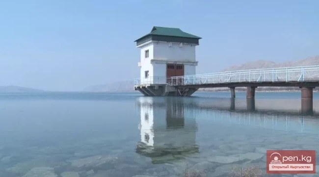
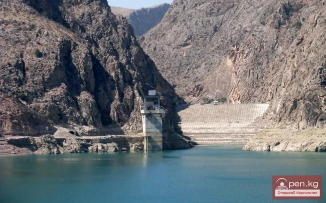
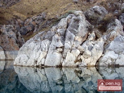
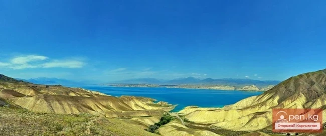
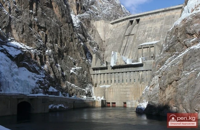
The reservoir was built in an area with a seismic hazard of 9 points. It irrigates 55,000 hectares of land. Its capacity is 550 million m³. The surface area is 2,050 hectares. The height of the dam is 84 meters. The length along the crest is 260 meters. The length of the surface is 22 km, and the width is 4 km.
Kara-Burinskoye Reservoir

For the first time in the Soviet Union, a concrete buttress dam (hollow) of a lightweight type was constructed.

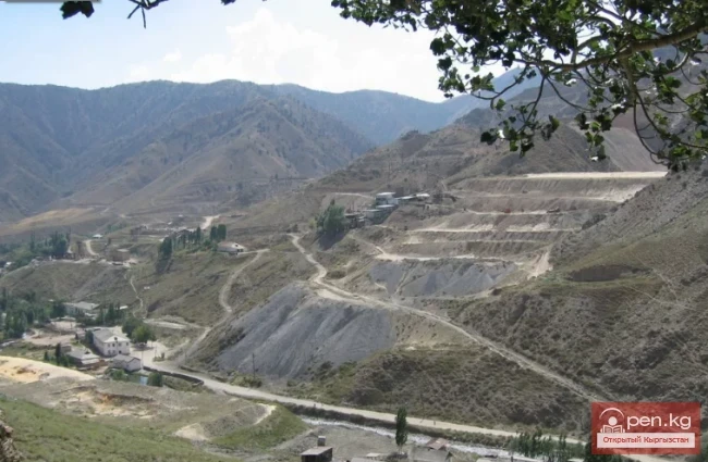
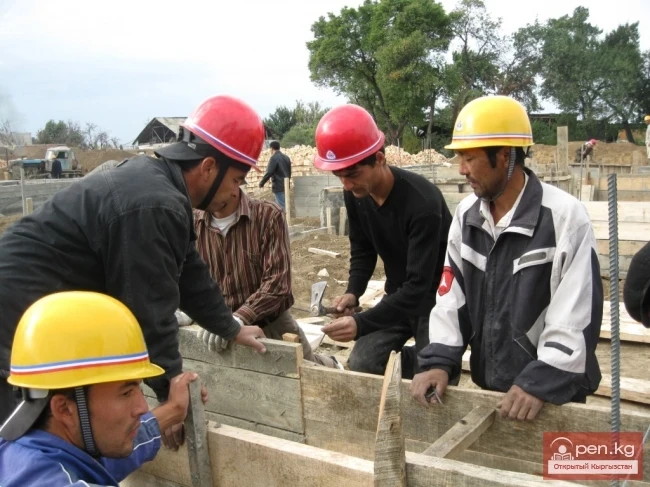
In 1965, the construction of multi-story buildings for hydro builders began in the village of Kyzyl-Zhildyz (3 km north of the gorge). A production base was established in the village of Chon-Kapka, including gravel and concrete product factories. The Manas Construction and Installation Department was formed based on the Kirov Construction Management, which, after the completion of the dam, engaged in the construction of residential houses in the village of Kyzyl-Zhildyz, road construction, and improvement of the area.

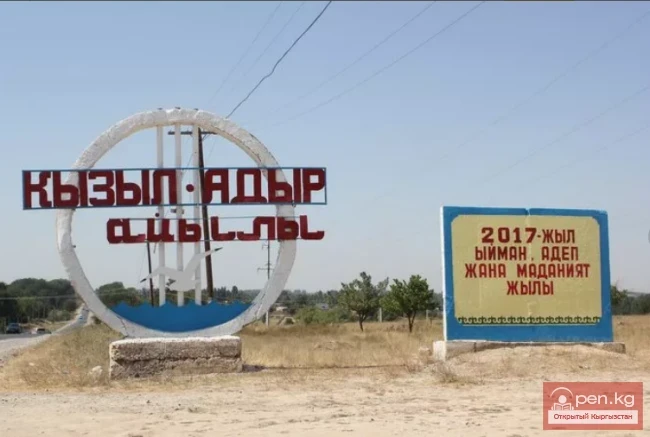
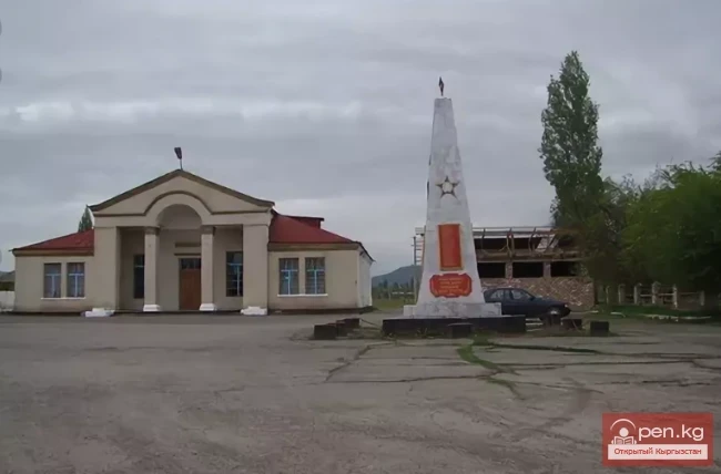
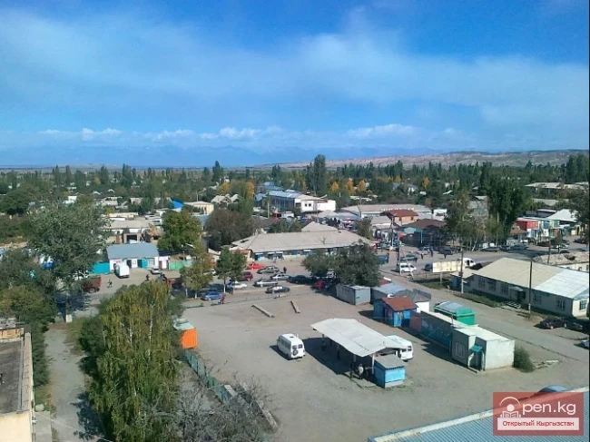
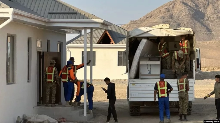
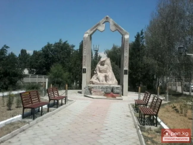
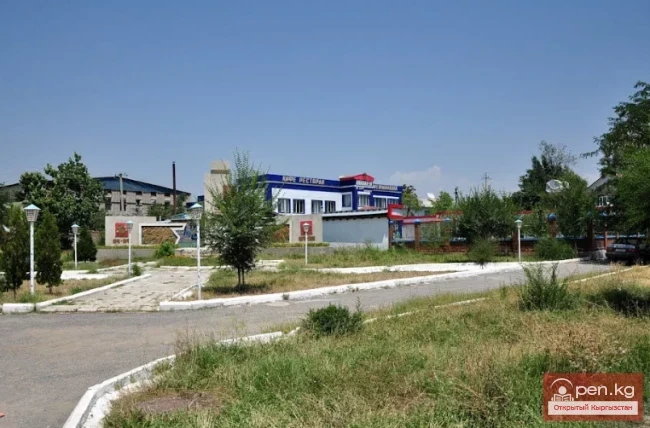
A large part of the district center — the village of Kirovka (Kyzyl-Adyr) — was relocated upstream of the river. In the new location, administrative institutions of the district operate in modern buildings, a new school has been opened, residential houses, a hospital, and trade and service facilities have been put into operation.
Kara-Burinskoye Reservoir

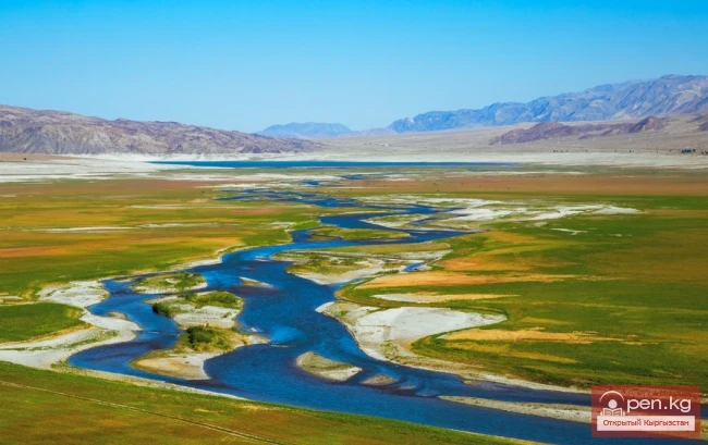
In the planned reservoir basin, there was the village of Beysheke, which needed to be relocated to a new site. About 400 families moved to the new village of Beysheke. There, a new school, shops, and a kindergarten were also built. Simultaneously with the construction of the reservoir dam, main canals and an irrigation network were built in the irrigation area.

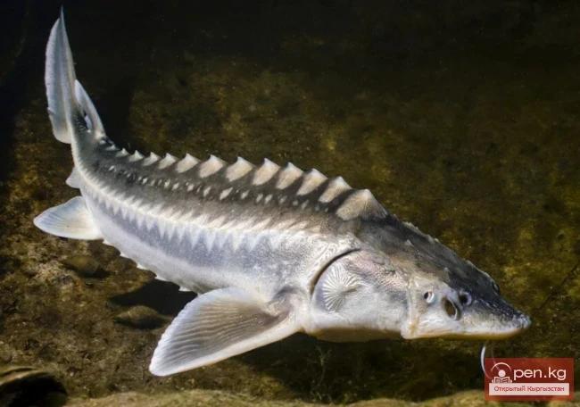
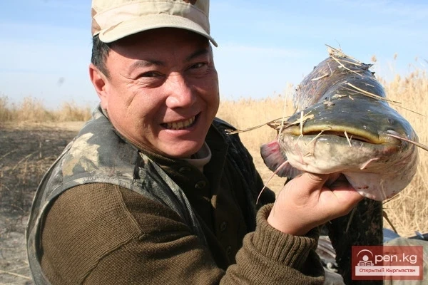
The fish farm, together with the water body tenants, carried out work on stocking the Kara-Burinskoye Reservoir with young carp and herbivorous fish from the Talas fish farm.
VK X OK WhatsApp Telegram

Read also:

Kurpsayskoye Reservoir

Kurpsayskoye Reservoir

Kurpsayskoye Reservoir — a canyon-type reservoir Kurpsayskaya Hydroelectric Power Station — HPP on...

Orto-Tokoy Reservoir

Orto-Tokoy Reservoir

Orto-Tokoy Reservoir — a reservoir on the Chu River. It is located 2 km west of the village of...

Uch-Kurgan Reservoir

Uch-Kurgan Reservoir

Uch-Kurgan Hydroelectric Power Station — a hydraulic engineering structure, a run-of-river...

Tortkul Reservoir

Tortkul Reservoir

Tortkul Reservoir is a unique structure. It is located in the Batken region on the Isfara River....

Papańskoe Reservoir

Papańskoe Reservoir

Reservoir in the Valley of the Ak-Bura River The location of the Papan irrigation reservoir basin...

Zone "Toktogul"

Zone "Toktogul"

The Toktogul Zone includes the Ketmentebin intermountain basin in the lower reaches of the Naryn...

Toktogul Reservoir

Toktogul Reservoir

The Toktogul Reservoir can be called the water pearl of Kyrgyzstan. It is located on the Naryn...

The Valley of Chichkan

The Valley of Chichkan

The Chichkan River flows from the north into the Toktogul Reservoir. It is a small river with...

Diving at Lake Kara-Suu

Diving at Lake Kara-Suu

Geographical Information: Lake Kara-Suu is located in the area of the Taktalyk ridge, at the lower...

Kara-Tor Waterfall

Kara-Tor Waterfall

Kara-Tor Lower Waterfall In the Naryn region of the Kochkor district, in the upper reaches of the...

"Orto-Tokoy Zone"

"Orto-Tokoy Zone"

The Orto-Tokoy Zone encompasses the territorial foothills at the western end of the Terskey...

Kara-Suu

Kara-Suu

The "Kara-Suu" Zone is located in the eastern part of the southern slope of the Chatkal...

The Village of Chaek

The Village of Chaek

Chayek – Agricultural Settlement The village of Chayek is the center of the Jumgal district in the...

Batken

Batken

Batken is a city in Kyrgyzstan, the administrative center of Batken Region and District. The...

River Karakulja

River Karakulja

Karakulja The Chatkal River in its upper reaches is called Karakulja (translated - Black Ram),...

Talas Region

Talas Region

The Talas Region is located in the northwestern part of the Kyrgyz Republic. It was established on...

Kasymbekov Aliy

Kasymbekov Aliy

Kasyimbekov Aliy Cinematographer. Born on October 25, 1922, in the village of Dyurbeljin, Ak-Tal...

Kara-Kul

Kara-Kul

Kara-Kul is a city in the Jalal-Abad region of Kyrgyzstan. According to the 2009 census of...

Write a comment: