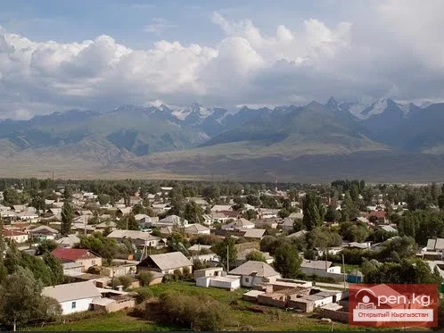
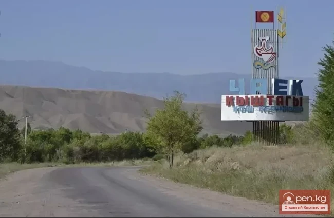
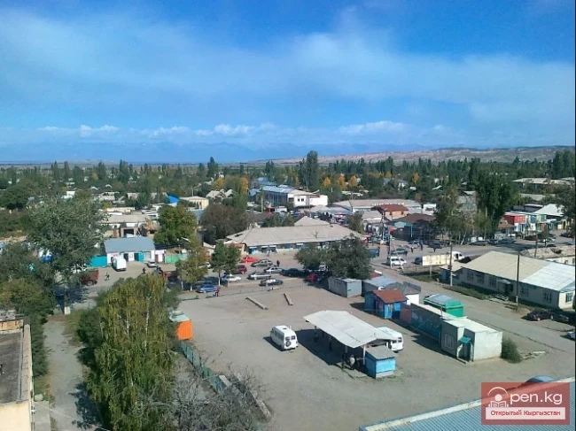
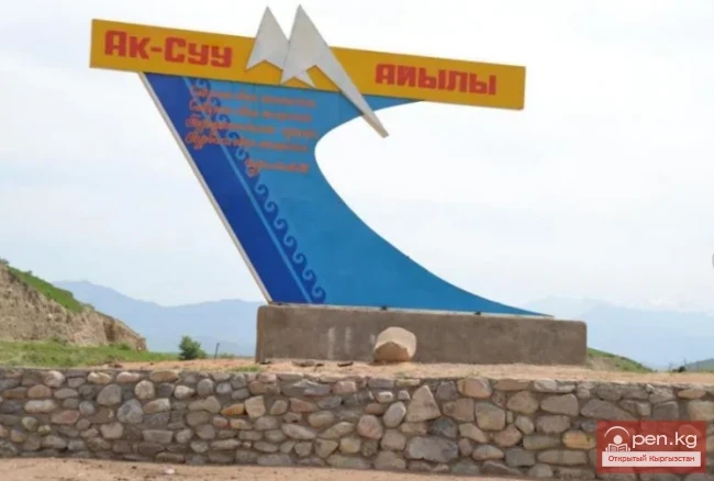
Kara-Kulja Village is the center of the eponymous district
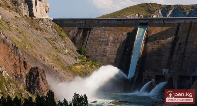
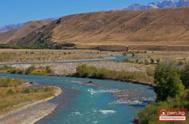
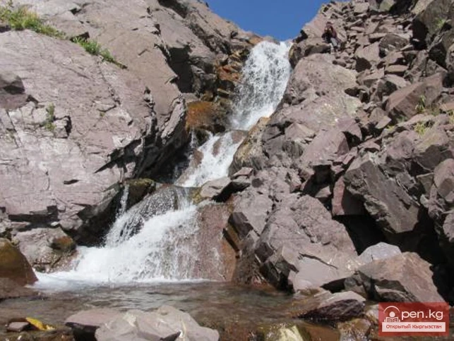
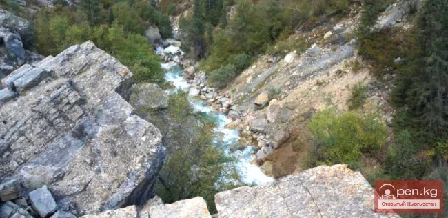
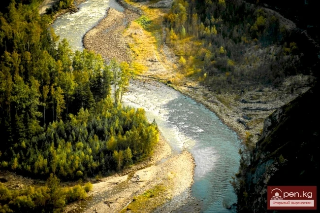
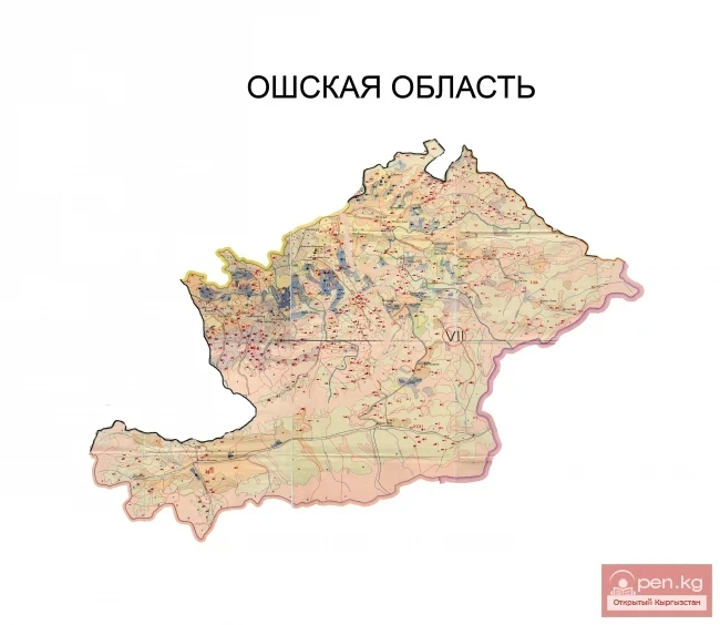
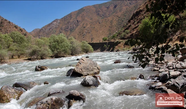
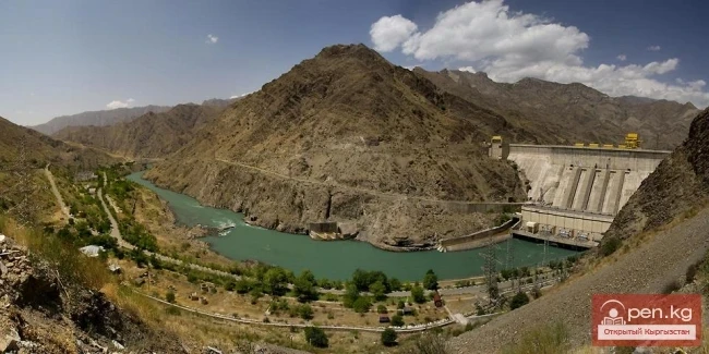
Karakulja (archaic: Kara-Kulja; at the source — Karakol) is a river flowing through the Osh region of Kyrgyzstan. The length of the river is 104 km. It collects its waters from the southwestern slope of the Fergana Range. Karakulja is the right tributary of the Karadarja River. The Kuldzhinsky district is located in the river basin.
It was established in 1936 under the name Soviet District. It was abolished in 1962, restored in 1969, and renamed to Karakuldzhinsky District in 1992.

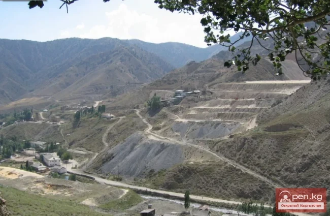
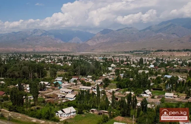
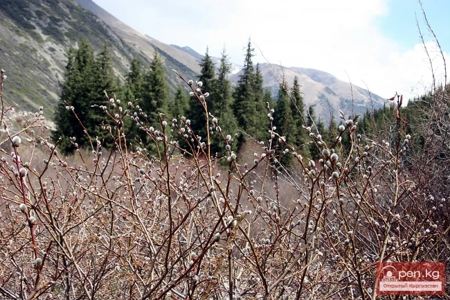
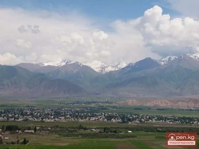
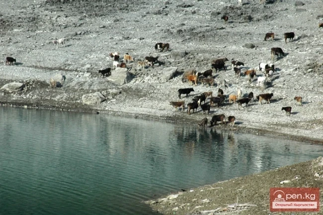
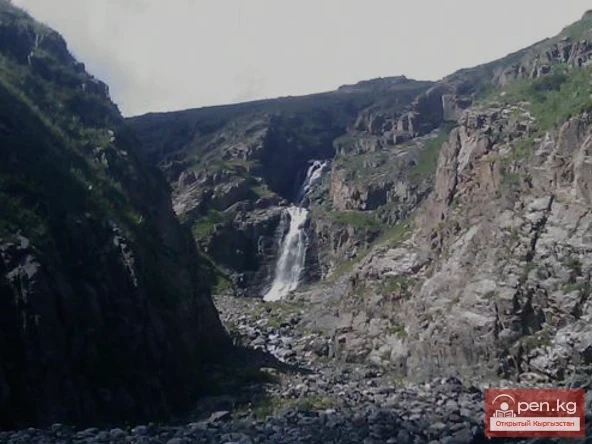
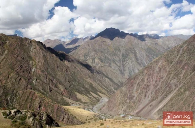
Kara-Kulja Village is the center of the eponymous district and is located in the west of Kyrgyzstan in the valley of the Karakulja River, not far from its confluence with the Karadarja. The village is situated 100 kilometers east of the city of Osh, which is connected by a road. Kara-Kulja is surrounded by low mountains of the Fergana Range, the slopes of which are covered with meadows suitable for grazing livestock. The elevation above sea level is 1390 m.
The valley has a continental climate with a long, not very cold winter and warm summer.
Earthquakes occur periodically. The main occupation of the local population is agriculture.
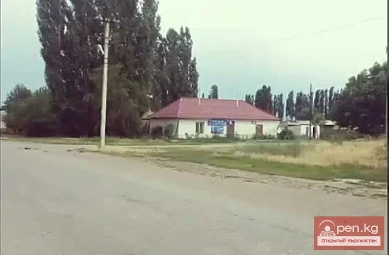
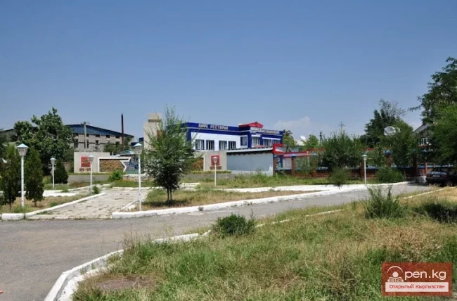
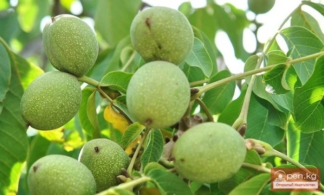
Agricultural organizations in Kara-Kulja specialize in growing grain and forage crops, as well as livestock farming. Institutions in Kara-Kulja include a rural consulting service, land management and property registration office, bank branches, and mobile operator offices.
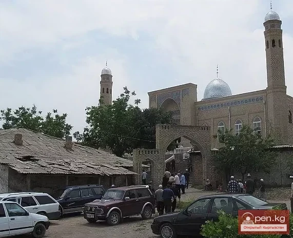
A new mosque has been opened in the village, which accommodates 300 people. There are sausage and slaughter workshops, a canned food production facility, a school, and a kindergarten.

Not far from Kara-Kulja Village are the Kara-Darya archaeological site (III-IV centuries BC) and the Shoro-Bashat site (area about 70 ha, IV-V centuries BC) with extensive ruins from the time of the Kushan Empire.
As a result of the presidential elections held in Kyrgyzstan on October 15, 2017, Sooronbay Jeenbekov, a native of Kara-Kulja Village, became the next President of the country.