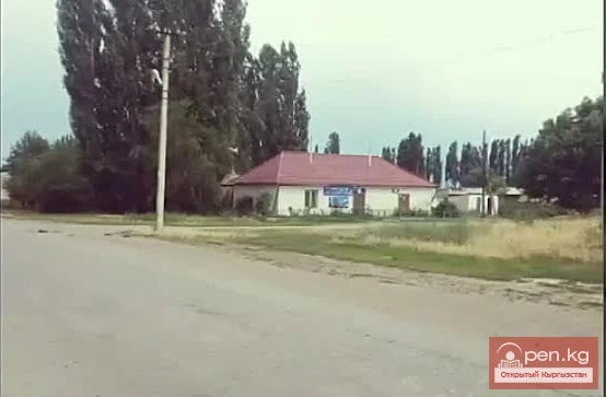
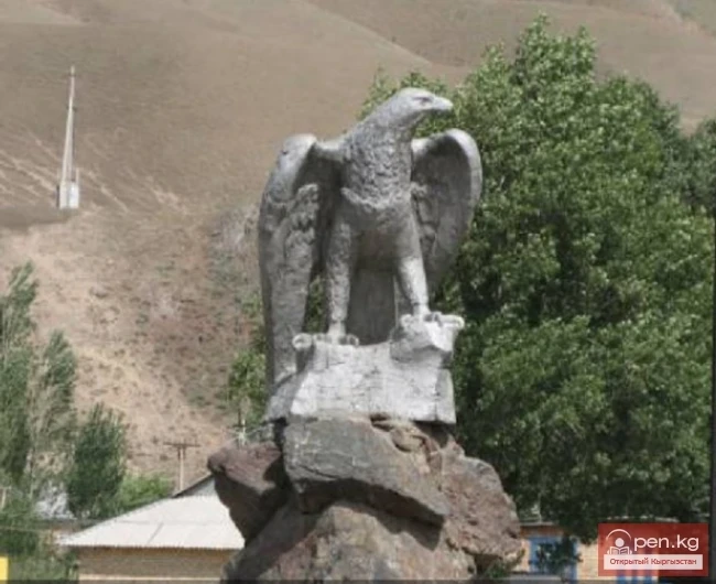
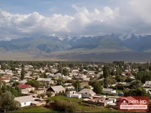
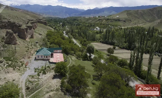
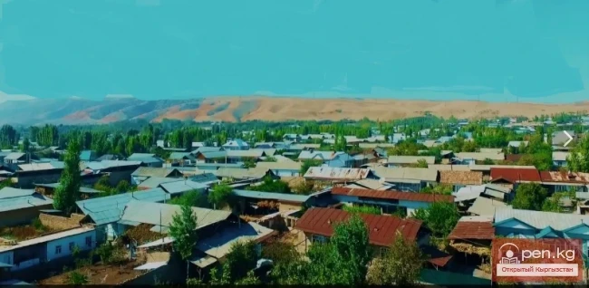
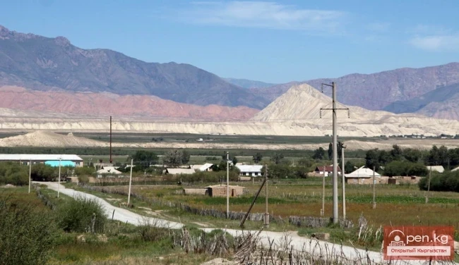
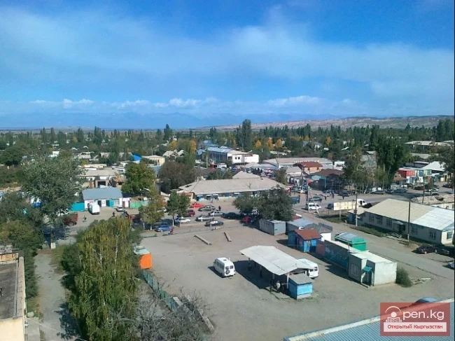
KazarMan – a village in central Kyrgyzstan, the administrative center of the Toguz-Toro district.
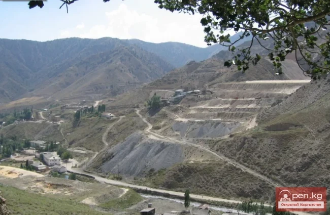
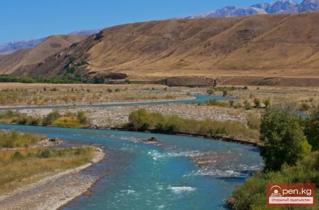
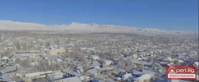
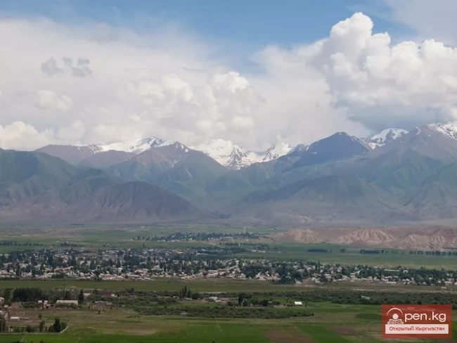
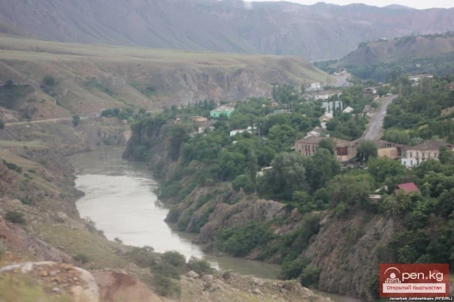
It is located in a small valley along the banks of the Naryn River, at the junction of the Fergana Range and the Moldo-Too mountains, at an altitude of 1310 meters above sea level, near the famous gold mining site of Makmal. The village is connected to the district's populated areas by roads, although it is cut off from civilization during the winter months due to heavy snowfall. There is an airport. Since 2008, air transport has been established between Bishkek and KazarMan.

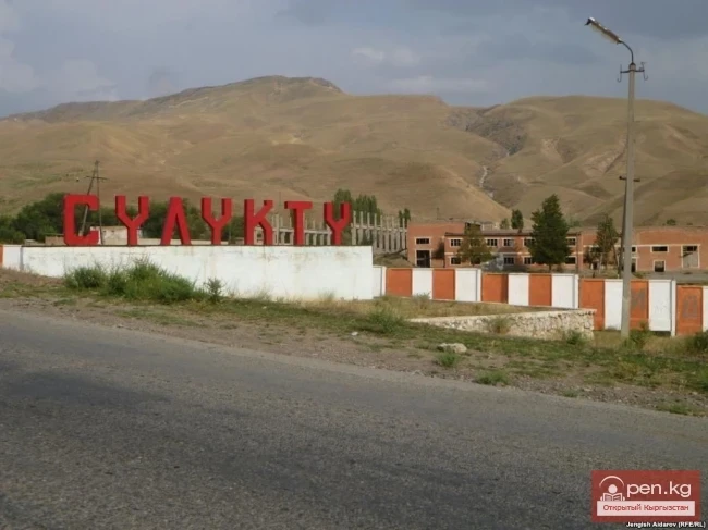
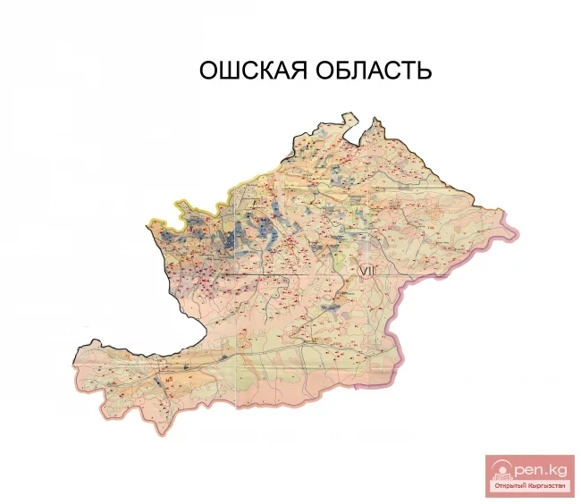
The village is located in the eastern part of the Jalal-Abad region, 160 km from the city of Jalal-Abad itself. Population: 9,020 people. Until 1916, the village was called Ak-Chiy, then Koen-Tokoy. In the 20th century, about 60 soldiers of Tsarist Russia settled in this place, which they nicknamed the Barracks. Later, local residents began to call this place KazarMan.

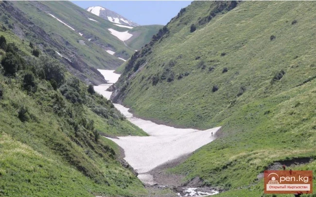
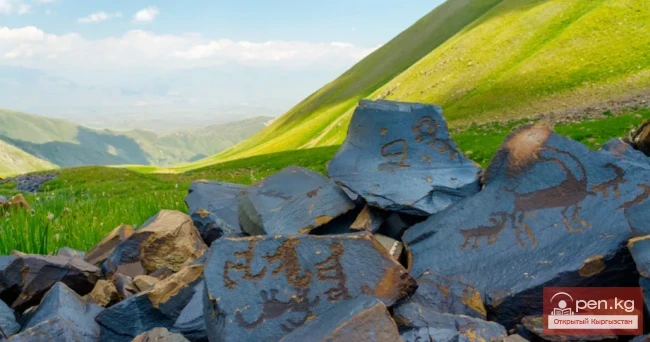
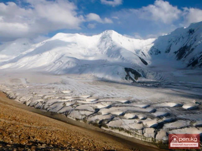
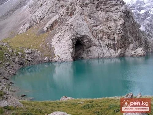
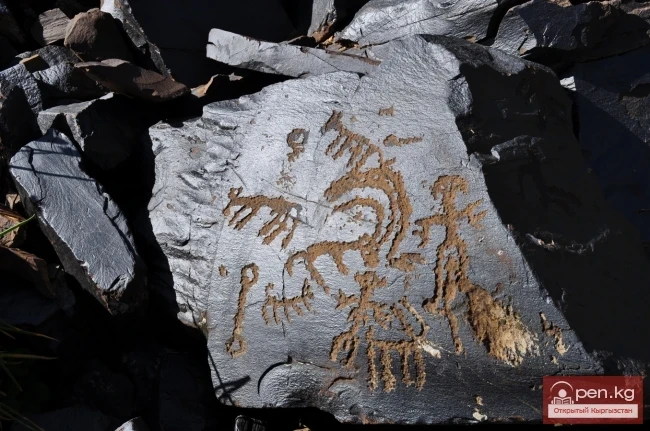
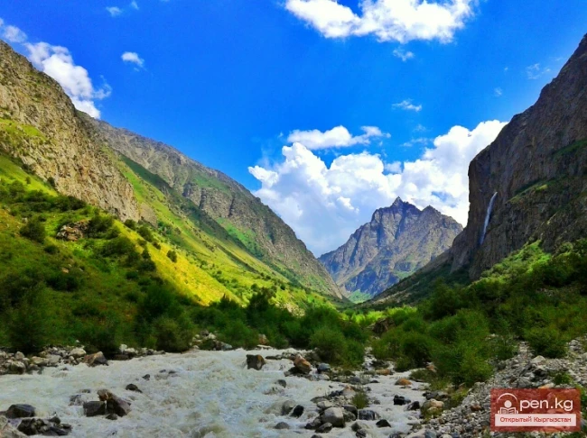
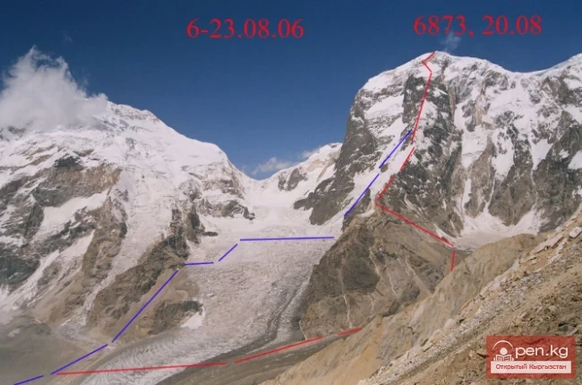
In 1935, KazarMan became the center of the district and was a remote provincial settlement. Nevertheless, tourists and researchers visit here. From the village, one can take a trip to the world-famous gallery of petroglyphs at Saymaluu-Tash, which is listed as a UNESCO World Heritage site and is under its protection. Covering an area of 32,000 hectares and at an altitude of 3000 meters above sea level, the Saymaluu-Tash archaeological national park is known as one of the largest concentrations of petroglyphs in the world, carved on basalt boulders.

The rock carvings have been discovered on 10,000 basalt boulders. The drawings on the black rocks date back to the Bronze and early Iron Ages. They are dated to the 3rd-2nd millennia BC, although Neolithic and medieval petroglyphs are also found. Most of them are dedicated to the spiritual life of the ancient inhabitants of the Tien Shan, as well as depicting scenes of everyday life. Guests are forever impressed by the special atmosphere of this place, filled with the grandeur of ancient boulders – guardians of ancient secrets, surrounded by stunningly beautiful landscapes.

The road to Saymaluu-Tash can only be used for 1 month a year – approximately from mid-July to mid-August. In September, the first snow falls in these areas. KazarMan can be reached from Jalal-Abad (157 km away) or from the Naryn region (220 km from the city of Naryn) by bus or taxi.

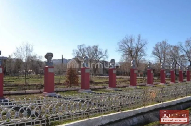
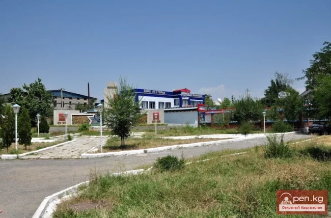
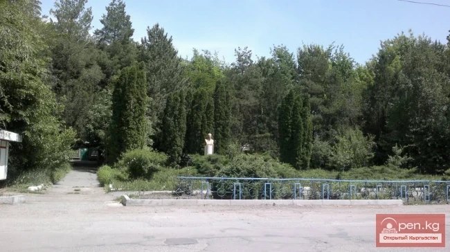
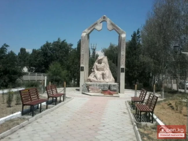
The industrial enterprises in KazarMan are represented by the OJSC "Kyrgyzaltyn" plant, which processes 500,000 tons of ore per year. Over ten years, the plant has produced 21.7 tons of gold. Agricultural organizations in the Toguz-Toro district engage in the cultivation of wheat, barley, corn, legumes, and oilseeds, as well as livestock and poultry farming. Institutions in KazarMan include a savings and loan company, a property rights registration office, and an employment sector. The village has 4 secondary schools, a library, an art school, a cinema, a cultural center, a hospital, a park, a market, and a sauna.