Ak-Talaa

admin Pastures and valleys
VK X OK WhatsApp Telegram
Ak-Talaa


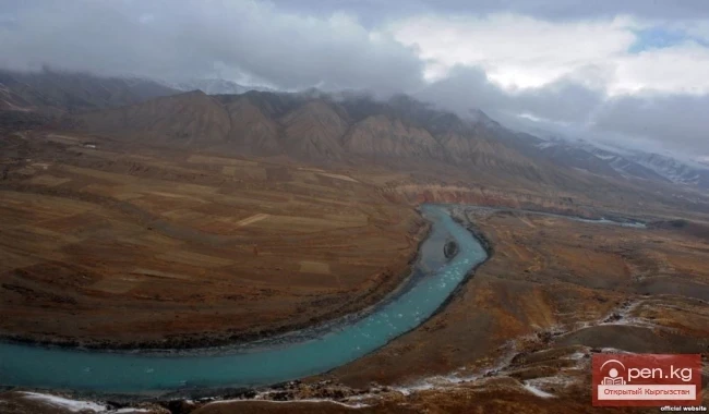
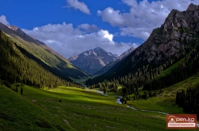
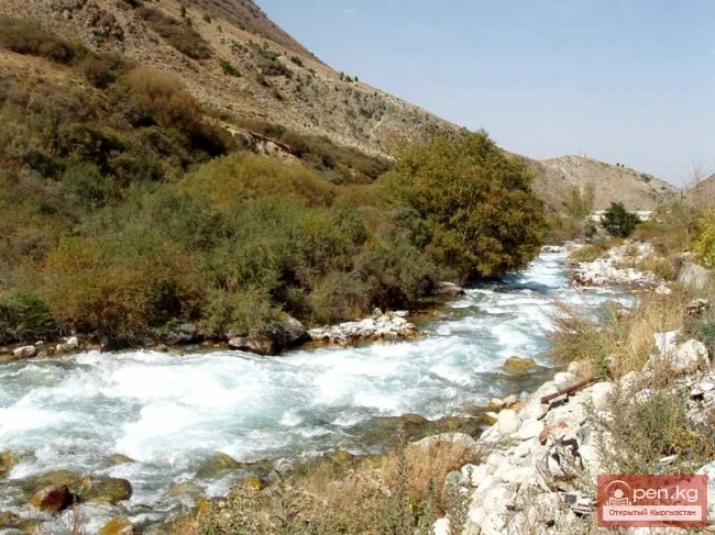
Ak-Talaa includes the valleys of the Ala-Buka, Arpa, and Terek rivers, as well as the southern slopes of the Moldo-Too ridge within the middle reaches of the Naryn River.

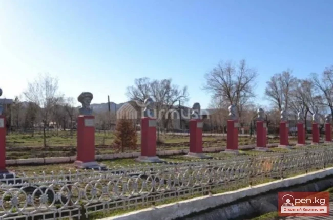
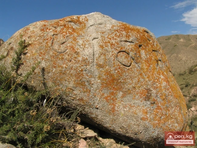
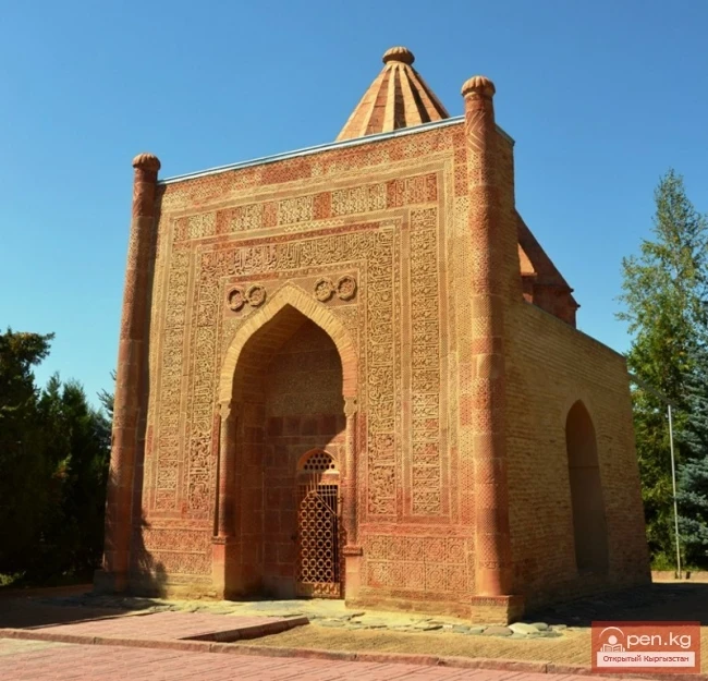
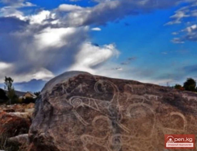
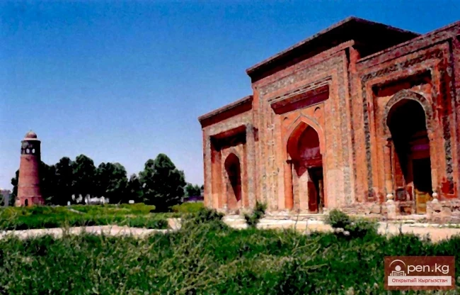
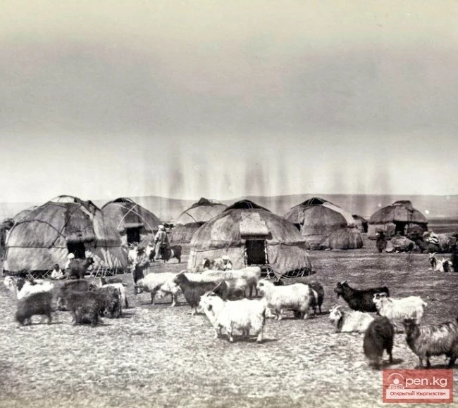
In the valleys of the Ala-Buka and Arpa rivers, there are many interesting monuments of Bronze Age tribes (1st-2nd millennium BC) - burial mounds with cemeteries. Excavations of some of them have uncovered bronze and ceramic tools of labor and everyday life. Here are the remains of two medieval settlements (8th-12th centuries), which were located on the caravan route from Fergana to Kashgar and Issyk-Kul. One of them is evidenced by the well-preserved ruins of the Shirdabek settlement, located on the right bank of the Ala-Buka, 30 km along the road from the district center of Bayetovo. The other settlement, Chaldybar, is located near the village of Kosh-Debe, 90 km from the district center of Bayetovo on the left bank of the Ala-Buka.

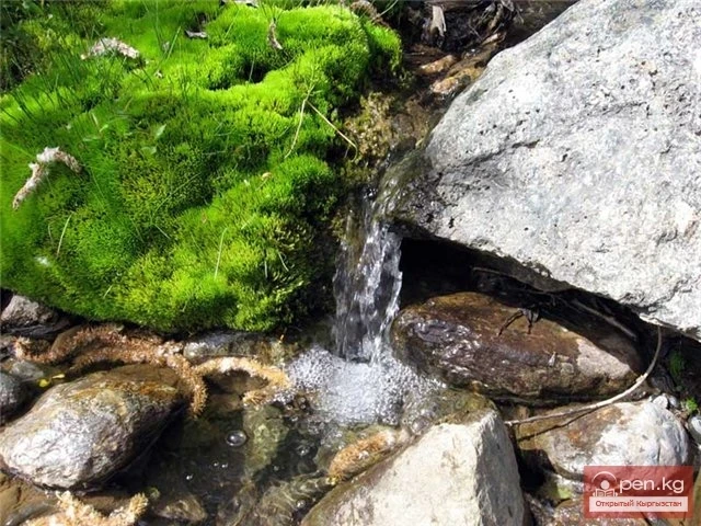
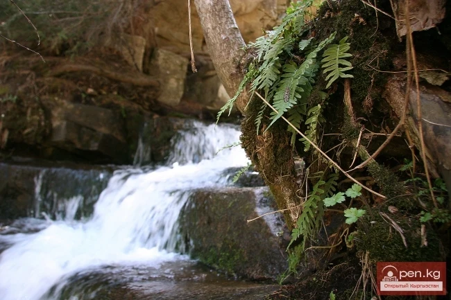
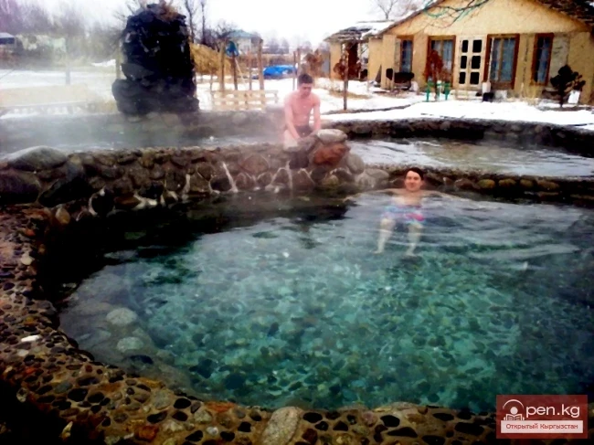
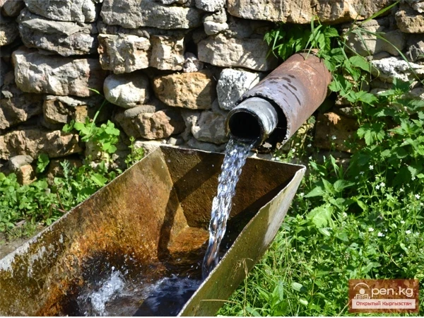
Ak-Talaa is rich in balneological resources. Among the numerous springs, the most well-known are: the Karakul springs with a water temperature of 4-6 degrees, located on the northeastern slope of the Fergana ridge in the upper reaches of the Karakol River at an altitude of 3150 m; 6 groups of springs "Kyzyl-Beles" - in the valley of the Arpa River at an altitude of 3020 m in the floodplain of the same river; the "Ak-Tal" (Durbeldzhin) spring - 10 km west of the village of Bayetovo, the "Ak-Terek" spring - in the gorge of the same river at an altitude of 1900 m, 15 km from the village of Kongorchak. The thermal spring "Pychan," well-known among the local population, is in the floodplain of the same river, and the thermal waters of the "Alabuga-Naryn" spring, located 15 km from the village of Upot, are widely used for therapeutic purposes. There are also large reserves of therapeutic muds that are not yet utilized.
VK X OK WhatsApp Telegram

Read also:

Zone "Ak-Talaa"

Zone "Ak-Talaa"

The "Ak-Talaa" zone includes the valleys of the Ala-Buka, Arpa, and Terek rivers, as...

Natural Park Kyrgyz-Ata

Natural Park Kyrgyz-Ata

Kyrgyz-Ata Natural Park is located in the basin of the river of the same name, which flows down...

Small Naryn

Small Naryn

Small Naryn encompasses the valley of the river of the same name, located between the ridges of...

Kara-Suu

Kara-Suu

The "Kara-Suu" Zone is located in the eastern part of the southern slope of the Chatkal...

Kara-Shoro

Kara-Shoro

In the upper reaches of the Yassy River, on its right bank, there is a whole series of mineral...

Carbonated waters

Carbonated waters

Currently, there are 28 known deposits and occurrences of carbonated waters in Kyrgyzstan,...

Zone "Chatyr-Kel"

Zone "Chatyr-Kel"

The Chatyr-Kel Zone includes a significantly elevated intermountain basin with a lake of the same...

Upper Naryn

Upper Naryn

Upper Naryn includes the upper part of the Naryn River basin from the vicinity of the town of...

Zone "Toktogul"

Zone "Toktogul"

The Toktogul Zone includes the Ketmentebin intermountain basin in the lower reaches of the Naryn...

Naryn Region

Naryn Region

The Naryn Region is located in the southeast of Kyrgyzstan and was first established on November...

Zone "Tar"

Zone "Tar"

The "Tar" zone includes the valley of the river of the same name and its tributaries. In...

Zone "At-Bashi"

Zone "At-Bashi"

The At-Bashi Zone includes the Atbashi-Karakoyun Valley. The center of the zone, the village of...

Kek-Art

Kek-Art

The "Kek-Art" Zone encompasses the surroundings of the city of Jalal-Abad, as well as...

"Upper Naryn Zone"

"Upper Naryn Zone"

The "Upper Naryn Zone" includes the upper part of the Naryn River basin from the...

Pchansky Spring

Pchansky Spring

Pchansky Spring is well known to the residents of the western part of the Ak-Tal district and...

Kyzyl-Unkyur

Kyzyl-Unkyur

The "Kyzyl-Unkyur" Zone is located 15 km northeast of the village of Arslanbap in the...

Zone "Yassy"

Zone "Yassy"

The Yassy Zone occupies the valley of the same name, located near the city of Uzgen, 80 km from...

Healing Springs

Healing Springs

On a hot summer day on the shores of Lake Issyk-Kul, one can observe a strange sight. Adults,...

Zone "Maly Naryn"

Zone "Maly Naryn"

The "Maly Naryn" zone encompasses the valley of the river of the same name, located...

Abshir-Sai

Abshir-Sai

Abshir-Sai (Waterfall Gorge) is located in the mountain valley of the river of the same name,...

Zone "Padsha-Ata"

Zone "Padsha-Ata"

The "Padsha-Ata" zone includes the gorge of the same name and is located near the...

"Orto-Tokoy Zone"

"Orto-Tokoy Zone"

The Orto-Tokoy Zone encompasses the territorial foothills at the western end of the Terskey...

"Issyk-Ata Zone"

"Issyk-Ata Zone"

Issyk-Ata Zone is located 80 km from Bishkek and includes two gorges — Issyk-Ata and Tuyuk...

Zone "Isfayram-Sai"

Zone "Isfayram-Sai"

Zone "Isfayram-Sai". The left tributary of the Isfayram-Sai River is the Surme-Tash...

Zone "Talas"

Zone "Talas"

The "Talas" zone is located in the central part of the Talas River valley and includes...

Thermal Waters of Ugut

Thermal Waters of Ugut

Thermal waters of Ugut are located on the left bank of the Naryn River, 110 km west of the city of...

"Chon-Kemin Zone"

"Chon-Kemin Zone"

Chon-Kemin Zone includes the valleys of the Chon-Kemin and Kichi-Kemin rivers between the high...

"Chil-Ustun Zone"

"Chil-Ustun Zone"

The Chil-Ustun Zone includes the Chil-Ustun, Chil-Mayram, and Keklik-Too mountains located around...

"Suusamyr Zone"

"Suusamyr Zone"

The Suusamyr Zone includes the eponymous high-altitude valley stretching 155 km. To the north, it...

City of Uzgen

City of Uzgen

This ancient city of Kyrgyzstan was founded by the Turks in the 8th-9th centuries in the center of...

The River Kashgar

The River Kashgar

Kashgar Kashgar (Kyzyl-Suu, Uluu-Chat (Ulugchat), Kabaatsu, Kyzylsu, Aavatusten Canal, Kashgar,...

The Reign of Esen-Buka

The Reign of Esen-Buka

The Ascension of Esen-Buka to the Throne In 1309, at the initiative of Kebek, a kurultai was...

Write a comment: