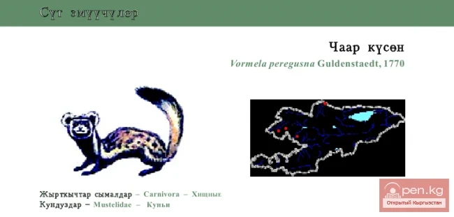
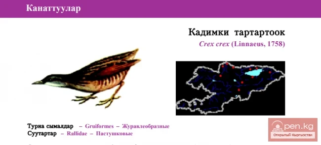
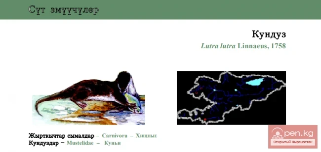
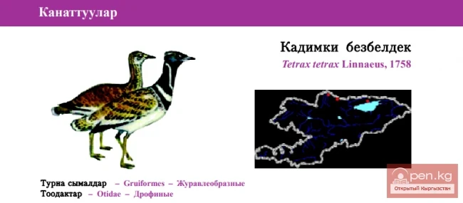
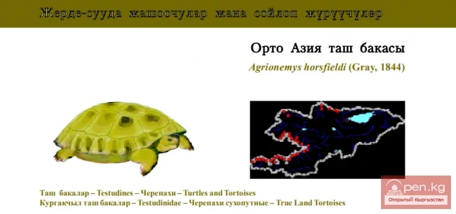
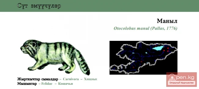
The Suusamyr Zone includes the eponymous high-altitude valley stretching 155 km. To the north, it is bordered by the Kyrgyz Ala-Too (peak Alamidin 4855 m), to the south and southwest by the Suusamyr-Tuu ridge (4048 m), and to the south and southeast by the Jumgal-Tuu ridge (4121 m). The valley floor rises from 2000 to 3200 m.
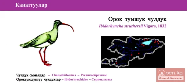
The Western Karakol begins as a result of the confluence of the rivers Ushu-Tor, Southern Issyk-Ata, and Iyri-Tor. The Western Karakol extends for 70 km through the Suusamyr Valley, overcoming frequent rapids. At the foot of the Kyrgyz Ala-Too, it flows through spacious meadows, widely describing loops. Below the confluence with its left tributary Eastern Seok, shrub vegetation appears, which gradually thickens, forming impenetrable thickets. In the river's floodplain, there are islets. In the lower reaches, large areas of tugai floodplain forests are concentrated.
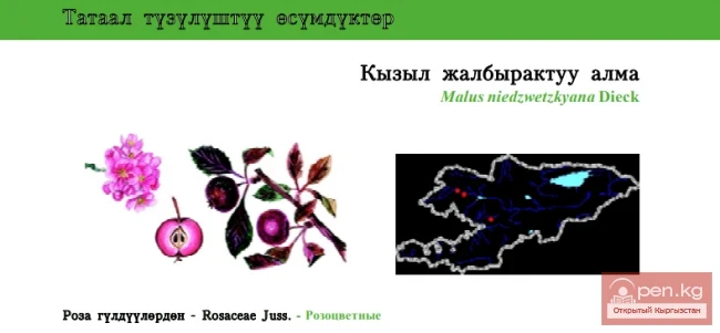
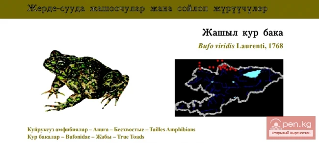
The Suusamyr River begins in a very narrow glacial valley, compressed by sheer cliffs to a width of 10 meters. In the whimsical intertwining of the meandering Suusamyr riverbed, thickets of shrubs and floodplain forests spread out. Here grow willow, poplar, Turkestan birch, Tian Shan birch, and crooked birch. Among the shrubs are sea buckthorn, bird cherry, currant, hawthorn, and small patches of caragana.
The main forest-forming species are various types of birch.
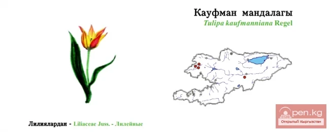
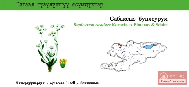
On the southern slopes of the Suusamyr-Too, Atoynok and Uzunakmat ridges, the Tian Shan spruce, tree juniper, walnut, Semenov fir, apple trees, and maples are represented. Above 3000 meters, shrublets and "pancakes" of creeping Turkestan juniper are more widely represented than in other zones. In the high mountains, there are rocks, stone debris, rock fragments, snowfields, glaciers, accompanied by troughs and cirques.
On the southern slope of the Talas Ala-Too, at an altitude of 3500 to 5600 m above sea level in the upper reaches of the Balikty-Suu River (a tributary of Suusamyr), there is a group of six lakes.