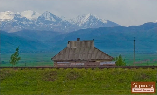
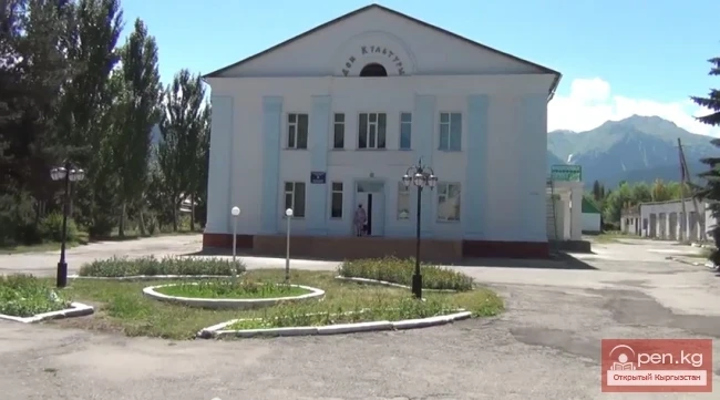
Chon-Kemin Zone includes the valleys of the Chon-Kemin and Kichi-Kemin rivers between the high ridges of Zailiysky and Kungey Ala-Too. It is located 150 km east of Frunze city on the road to Novorossiysk village.
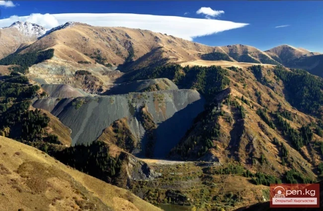
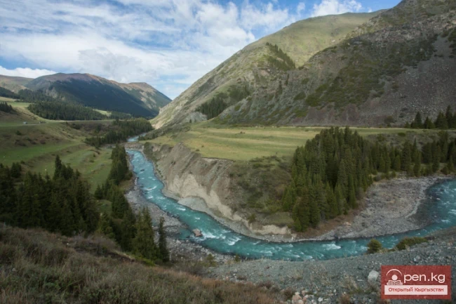
The valley of the Chon-Kemin River, stretching over 110 km from west to east, is remarkably beautiful. The river originates from beneath the moraine at the glaciers of the Chilik-Kemin saddle (4000 m), which connects both ridges, and flows into the Chu River where the Boom Gorge begins (1340 m). The lower reaches of the Chon-Kemin River are located in the Kapchagay gorge, which has steep rocky sides. The rock faces facing the turbulent river are adorned with fir trees, rowan bushes, and barberry. The river's floodplain is densely overgrown with shrubs, the branches of which lean towards the road winding along the riverbed. Streams trickle down the slopes. Beyond the gorge, the bottom of the valley flattens, forming a small green basin up to 6 km wide and 15 km long. The upper part of the valley has a gently rolling appearance and is covered with low grass meadows. The surrounding high slopes of the Kungey Ala-Too ridge are covered with dark fir forests, and combined with the silvery patches of snowfields and glaciers, they give the emerald valley an exceptionally attractive look. Further along, the valley narrows. The ridges come closer together and stretch almost parallel to the east towards the Chilik-Kemin mountain knot, where the most powerful glacial area of Kungey Ala-Too is located. Here, the air pressure is just over 70 percent of normal. Water boils at a temperature of 88 degrees.
On the northern slopes of Kungey Ala-Too, carved by numerous gorges, there are fir forests. The fir trees climb high, utilizing every ledge between the rocks. On the wide bottom, they are arranged in picturesque groups. The forest grows so densely that individual trees cannot be distinguished from a distance—the slope seems covered with giant patches of dark green velvet.
In the floodplain of the Chon-Kemin River below Novorossiysk village, the Kemin State Zoological Reserve, covering an area of 500 hectares, is designated for the protection of pheasants and tolai hares. Licensed hunting for wild boars, ibex, roe deer, pheasants, and partridges is allowed during hunting seasons. In the Kapchagay area, a 280-hectare Kapchagay State Botanical Reserve is established to protect the habitats of ephedra.
The valley of the lower reaches of the Kichi-Kemin River begins to narrow beyond the Ilyichevsky settlement. The road runs along the river. The gorge is surrounded by green, rounded hills. Above a large right tributary, starting from 2200 m, the gorge takes on the appearance of a narrow canyon. On the steep slopes, thickets of fir and juniper are located, gradually transitioning into a fir forest. Further, the valley bottom flattens. The surrounding mountains near the Ak-Tyuz settlement are composed of slate containing mica. The play of sunlight makes the slopes sparkle with tiny sparkles. Towering over the left bank of the river is the Tassa-Kemin spur of the Zailiysky Ala-Too, which separates the gorge from Chon-Kemin. In the upper reaches of the left tributary Tegirmenty, there is a pass of the same name, which leads to the upper reaches of Tegirmenty-Suu—the last right tributary of the Chon-Kemin River.
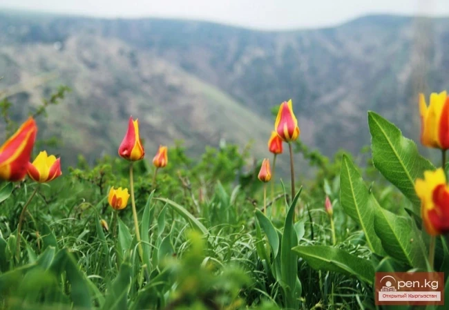
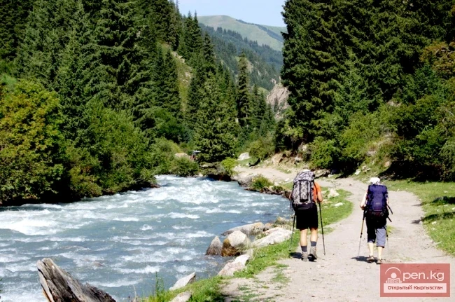
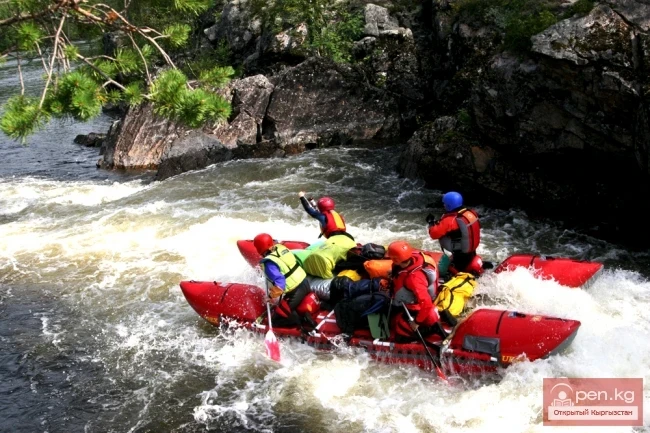
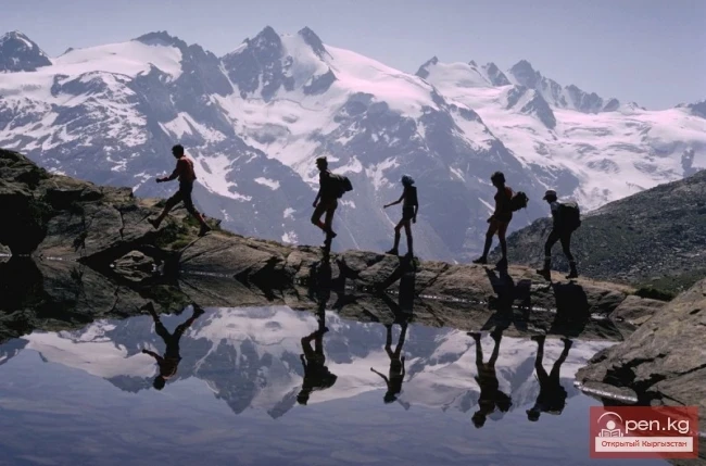
The clean, oxygen-rich air, fragrant with mountain flowers, the abundance of mushrooms and berries—strawberries, currants, and sea buckthorn—as well as the fruits of wild rose, barberry, honeysuckle, and seabuckthorn make the gorges of the southern slopes of the Zailiysky ridge and the northern slopes of Kungey Ala-Too an indispensable area for recreation and tourism for both the residents of the republic and its numerous guests.

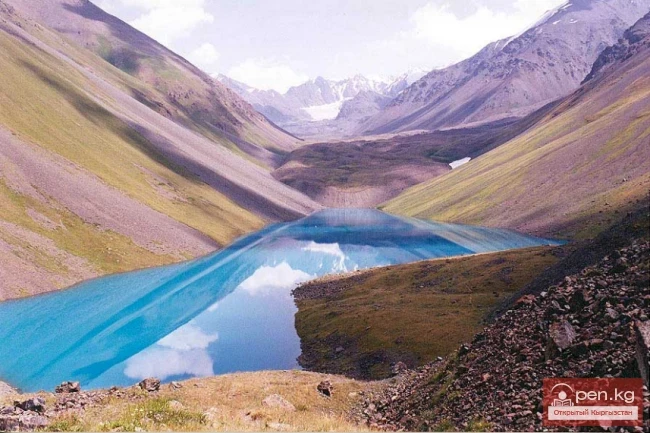
Nature enthusiasts will find much of interest here. The most diverse in size and majestic beauty high-altitude lakes await tourists on mountain trails. Special attention should be paid to the beautiful moraine-dammed lake Jashil-Kel, located at an altitude of about 4000 m at the source of the Chon-Kemin River, and Lake Kel-Kogur with clear bluish water, approximately 700 m long and 500 m wide, located in the forested gorge of the left tributary Kel-Top (in the middle reaches of the Chon-Kemin River), formed as a result of a landslide from the left slope over 200 m high. Below Lake Kel-Kogur, in the forested valley of this tributary, there is a flowing lake Keg-Tor about 200 m long. The moraine-dammed lake Almaty is situated in the upper reaches of the right tributary of the Chon-Kemin River of the same name, while the moraine-glacial lake Kichi-Kemin is found in the upper reaches of the Kichi-Kemin River. A picturesque canyon up to 200 m deep, formed as a result of a lake breach, will meet you not far from the confluence of its left tributary Jindi-Suu into Chon-Kemin. The stone flow of Kara-Korum (black moraine), about 5 km long and over 200 m wide, will attract attention in the interfluve of Orto-Koy-Suu and Chon-Koy-Suu (left tributaries of the Chon-Kemin River).
Unlimited opportunities are provided for mountain tourists thanks to the vast accumulation of fascinating peaks and passes covered with snow and ice caps. Majestically and gracefully reaching upwards are the most significant peaks of Chotkal (4771 m) in Kungey Ala-Too; Alisher Navoi (4170 m), Teke-Too (4190 m), Kichi-Kemin (4220 m), located on the spur of Zailiysky Ala-Too.