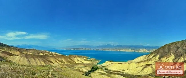
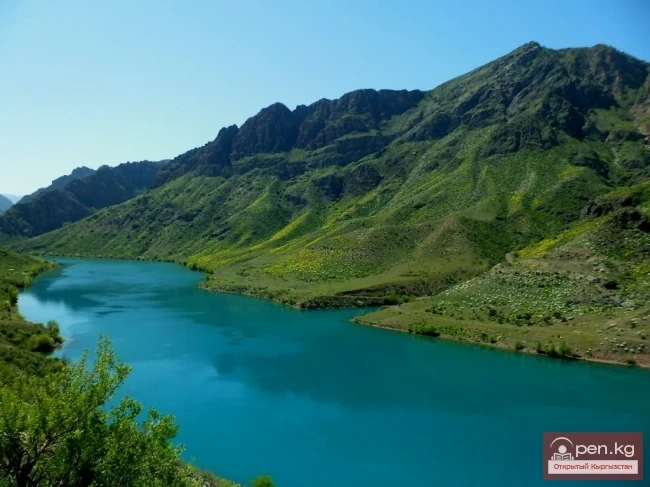
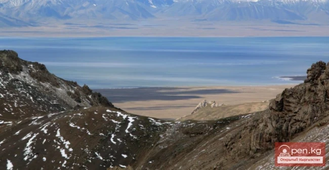
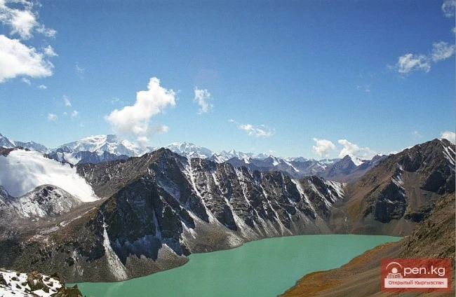
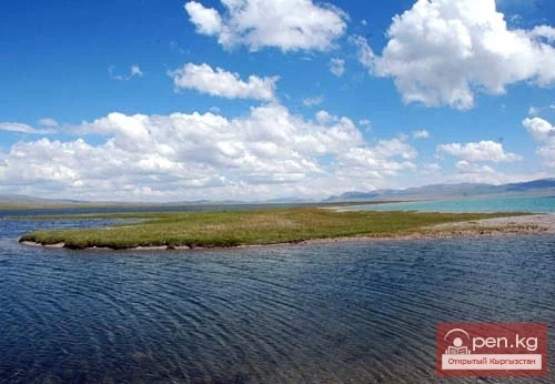
The Chatyr-Kel Zone includes a significantly elevated intermountain basin with a lake of the same name, stretching from the southwest to the northeast for 70 km from the Tuz-Bel pass to the watershed of the Kek-Ayghyr River, and the western part of the Aksai Valley. The zone is located along the highway from Naryn city to Torugart village, 130-140 km from Naryn. The road bypasses the lake from the west and south and leads into the Aksai Valley.
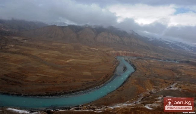
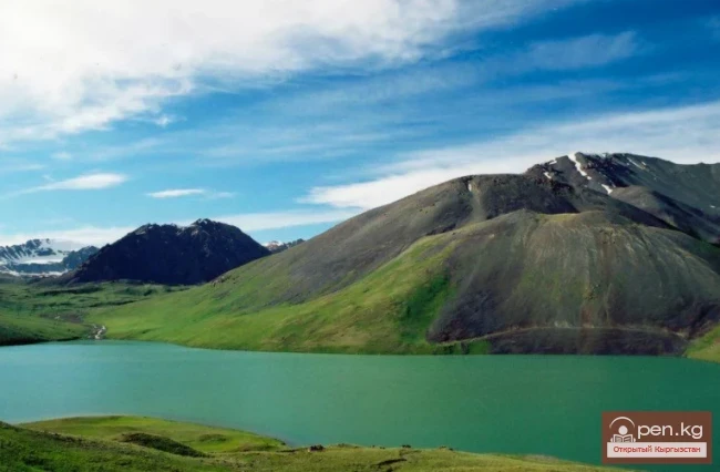
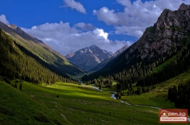
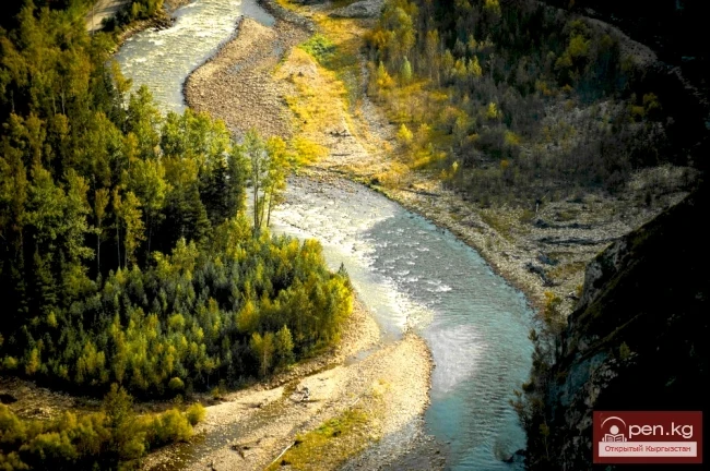
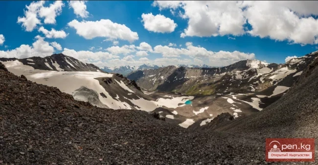
The mountain ranges framing the basin reach their highest point in the northwest at 4756 m (on the At-Bashi range) and in the southeast at 5108 m (on the Torugart range). To the west, a moraine ridge separates the basin from the Arpa River, while to the east, an elevation with randomly scattered hills separates it from the Ak-Sai River valley. The slopes of the gigantic ranges are composed of yellowish-gray marbled limestones, giving them a whitish appearance with remarkably beautiful weathering forms. Many grottos and caves can be found here. In the zone of moraines and glaciers, mountain tundras prevail, alternating with patches of alpine meadows. The largest area of glaciation (about 3 km) is located in the upper reaches of the Kek-Ayghyr River on the southern slope of the At-Bashi range. Numerous babbling streams flow from this slope, their gorges framed by formidable cliffs, debris, and landslides. In the lower parts of the valleys of the rivers flowing into the lake, well-defined steps of river terraces are visible. In the upper reaches of the streams, there are many moraine-glacial lakes ranging from 100 to 300 sq. m.
The climate of the Chatyr-Kel basin is quite harsh, with a long winter and cool summer. In the flat and gently hilly areas surrounding the lake, grow caragana, wormwood, black-flowered sedge, kobrezia, and cushion forms of vegetation. Part of the coastline is occupied by invitingly green alpine meadows, dotted with silvery edelweiss. A thick layer of permafrost, up to 100 m deep, lies beneath the slopes.
Two kilometers south of the central part of Lake Chatyr-Kel, at the slopes of the Torugart range, lies the Small Chatyr-Kel Lake, which connects to the main lake via a winding channel. It is interesting to note that the level of this small lake is almost half a meter higher than the surface of Chatyr-Kel. In dry years, it is replenished with water through the channel from Chatyr-Kel. In the area of the channel and the Small Lake, there are many thermokarst depressions formed by the outflows of carbonated mineral waters of the "Narzan" type, with surprisingly beautiful shades of water. Thermokarst funnels and bowls, ranging from 50 to 400 m in diameter, are also located in the southeastern part of the coastal strip.
The coastal strip and the water area of the lake is a hunting reserve, where hunting for waterfowl is prohibited. There are no fish in the lake, although the streams and the Kek-Ayghyr River are home to the naked osman and marinka.

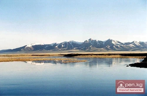
The western part of the Aksai Valley is located at an altitude of 3000 to 3800 m above sea level. It is bounded by the high mountain ranges of At-Bashi (4786 m), Jany-Jer (4737 m), Kek-Kiya (4726 m), and Kak-Shaal, with an average height within the valley of 4556 m. The valley is characterized by alpine steppe landscapes with wormwood and feather grass vegetation. The extensive flat basin — syrt, is covered with waves of gentle hills, with remnants of marine relief from boulder and gravel deposits.
At altitudes of 3800 to 4200 m, rocky tundra is widespread, overshadowed by snowfields and glaciers. The climatic characteristics of the valley are close to an arctic regime. Here, permafrost reigns. The cold period predominates throughout the year. In this high mountain valley, located at the latitude of the Mediterranean Sea, lies the "pole of cold" of the republic. The absolute minimum temperature reaches almost 54 degrees below zero. Such temperatures have not been observed even on the New Land Island in the Arctic.
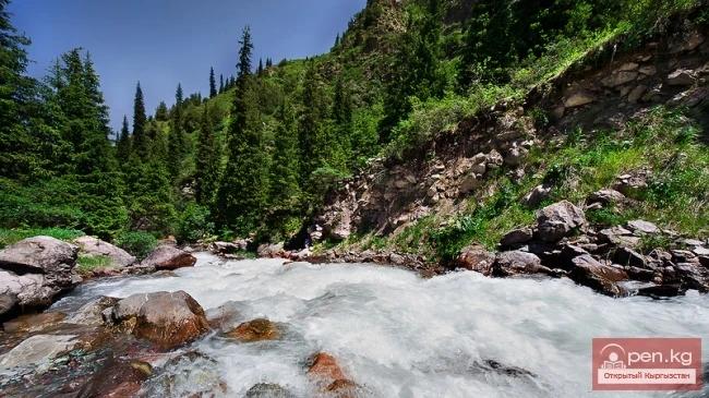
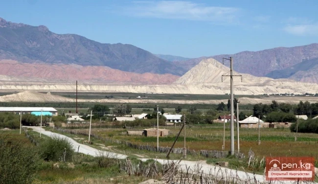
The valley is traversed by a river of the same name with numerous tributaries, stretching 198 kilometers from west to east. It cuts through the border range of Kak-Shaal and drains its waters into China. The valleys of the river and its tributaries are sometimes overgrown with poplar-willow forests and covered with shrubs. In the middle part of the Besh-Belchir area, on the southern slopes of the At-Bashi range, near the highway in the forest zone, there are mineral springs.
This harsh high mountain area was inhabited by primitive humans. This is evidenced by a monument from the Neolithic era (6-4 thousand years BC), found near the road from Chatyr-Tash village to Lake Chatyr-Kel.