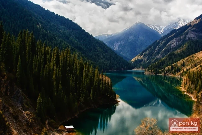
The Atbashi Ridge

admin Mountain ranges
VK X OK WhatsApp Telegram
Atbash Ridge

Atbash


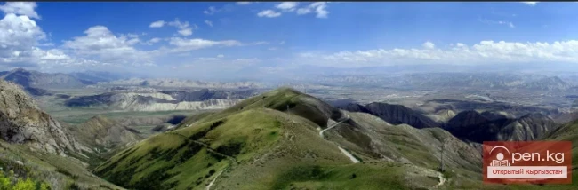
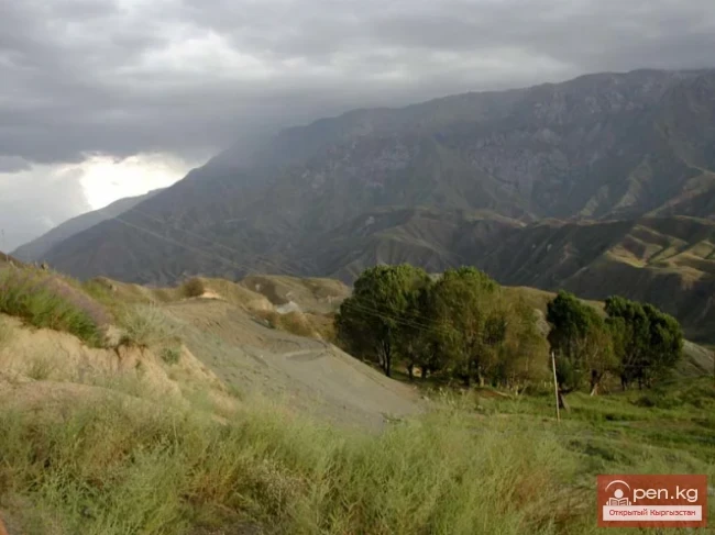
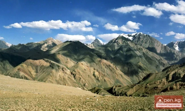
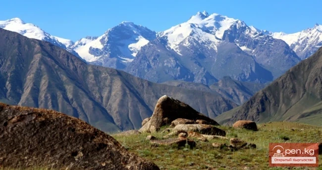
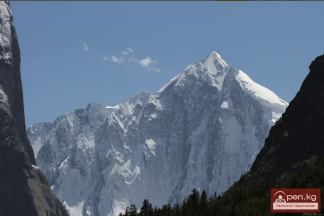
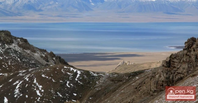
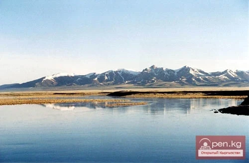
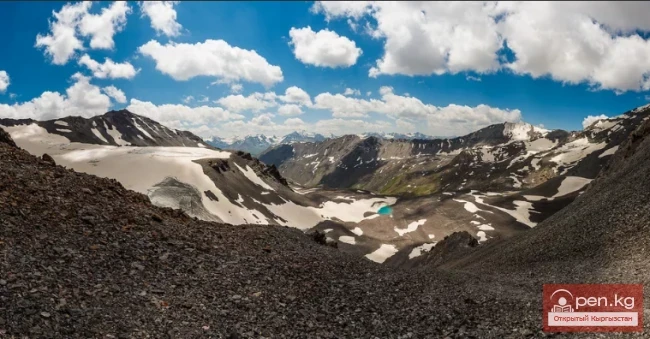
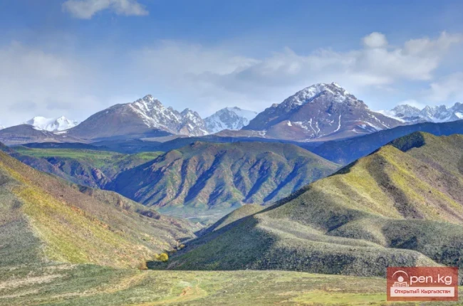
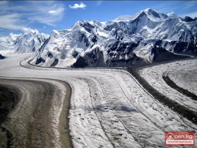
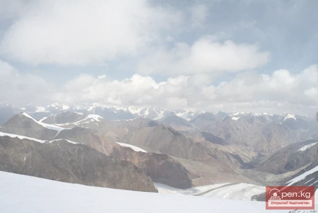
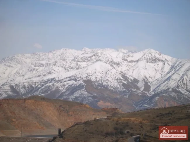
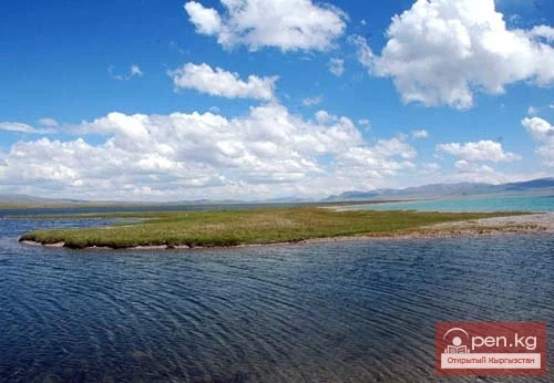
The mountain range belongs to the southern arc of the Inner Tien Shan in Kyrgyzstan. It separates the Atbashin Basin in the north from the Chatyr-Kul Basin and the Aksai Surt in the south. It is located north of Lake Chatyr-Kul, between the valleys of Ak-Sai and At-Bashi-Kara-Koyun. The length of the ridge is 140 km, and its width is 30 km. The highest parts of the Atbash Ridge are located in the middle section, while to the west and east the ridge descends to 3500 m. The central ridge zone and some passes lie above the snow line. The slopes are cut by short deep transverse subsequential gorges, often with glaciers.
Atbash Ridge

The highest peak is Erme at 4786 m. The average height (above sea level) is 4300 m.
VK X OK WhatsApp Telegram

Read also:

The Moldotau Ridge

The Moldotau Ridge

Moldotau A mountain range in the Inner Tian Shan, in the central part of Kyrgyzstan, south of Lake...

Talas Ridge

Talas Ridge

Talassky Ala-Too A mountain range located in the Western Tien Shan system. Most of it is situated...

The Saridzhaz Ridge

The Saridzhaz Ridge

Sarydjaz The mighty snow-covered barrier of the Sarydjaz mountain range rises in the Central Tian...

Jumgaltau Ridge

Jumgaltau Ridge

Jumgaltau A mountain range in the northern part of the Tien Shan, in Kyrgyzstan. The ridge extends...

Kuylytau Ridge

Kuylytau Ridge

Kuylytau A mountain range in the Central Tien Shan, in Kyrgyzstan. It is located between the...

Alay Ridge

Alay Ridge

Alay Range A mountain range of the Pamir-Alai mountain system in Kyrgyzstan and partially in...

Zhalay Range

Zhalay Range

Zaalai Ridge A ridge oriented in a latitudinal direction, separating the Pamir and the Alai...

Meridional Ridge

Meridional Ridge

Meridional Ridge The main nodal uplift of the Central Tien Shan on the border of Kyrgyzstan and...

Naryn-Too Ridge

Naryn-Too Ridge

Naryn-Tau The area is hard to access and rarely visited. Due to the low glaciation and modest...

Fergana Range

Fergana Range

Fergana Ridge A mountain range in the Tien Shan that stretches from southeast to northwest,...

Zailiysky Alatau Ridge

Zailiysky Alatau Ridge

Zailiyskiy Alatau A mountain range in the northwest of the Tian Shan (on the border of Kazakhstan...

The Ridge of Inylchektau

The Ridge of Inylchektau

Inylchektau A mountain range in the Central Tien Shan in Kyrgyzstan. It is located in the basin of...

Terskey Alatoo Ridge

Terskey Alatoo Ridge

Terskey Alatau The Terskey Alatau Ridge is very beautiful in its variety of landscapes. In one...

Kungey-Alatau Ridge

Kungey-Alatau Ridge

Kungey-Alatau To the south of the Zailiysky Alatau, beyond the deep longitudinal valleys of the...

Turkestan Range

Turkestan Range

Turkestan Range A high mountain range oriented in a latitudinal direction, approximately 340 km...

Zone "Chatyr-Kel"

Zone "Chatyr-Kel"

The Chatyr-Kel Zone includes a significantly elevated intermountain basin with a lake of the same...

Lake Chatyr-Kul

Lake Chatyr-Kul

“Chatyr-Kul” translates from Kyrgyz as “Heavenly Lake.” The high-altitude lake Chatyr-Kul is...

Zone "At-Bashi"

Zone "At-Bashi"

The At-Bashi Zone includes the Atbashi-Karakoyun Valley. The center of the zone, the village of...

Kyrgyz Ridge

Kyrgyz Ridge

Kyrgyz Mountain Ridge A mountain range that borders the Chuy Valley and the Moyunkum Desert to the...

Naryn Region

Naryn Region

The Naryn Region is located in the southeast of Kyrgyzstan and was first established on November...

"Suusamyr Zone"

"Suusamyr Zone"

The Suusamyr Zone includes the eponymous high-altitude valley stretching 155 km. To the north, it...

Inner Tian Shan

Inner Tian Shan

It is precisely about this region that famous travelers such as Semenov-Tian-Shansky, Mushketov,...

Aksai Glacier

Aksai Glacier

Ak-Sai Glacier The glacier is located 40 km from Bishkek in the picturesque Ala-Archa gorge at an...

Tokmok

Tokmok

Tokmok (Kyrgyz: Токмок) is a city in Kyrgyzstan, the administrative center of the Chuy Region. It...

Chatyr-Kul Field

Chatyr-Kul Field

The Chatyr-Kul Deposit has the largest resources of carbonated water in Kyrgyzstan: they are...

Peak Djigit

Peak Djigit

Peak Djigit - height 5170 meters. It is located in the main watershed ridge of the Terskey Alatau...

Koksu Ridge

Koksu Ridge

Koksu Ridge Located in the Western Tien Shan, on the border of Kyrgyzstan and Uzbekistan. Its...

Lake Son-Kul

Lake Son-Kul

Geographical Information: Song-Kul (possible variants of Russian spelling: СОНКЁЛЬ, Сонг-Кёль,...

Write a comment: