Turkestan Range
A high mountain range oriented in a latitudinal direction, approximately 340 km long and up to 30 km wide, belonging to the Gissar-Alai mountain system. The average height (above sea level) is 4430 m. The highest peaks are Skalistyy (5621 m) and Pyramid Peak (5509 m).
Through the Matcha mountain knot, the range connects with the Alai Range to the east and stretches to the Samarkand Plain to the west. The northern slope is long and gentle, with juniper forests and sparse woodlands, while the southern slope is short and steep, with cliffs and scree. To the south, it is separated from the Zeravshan Range by the Zeravshan River valley.

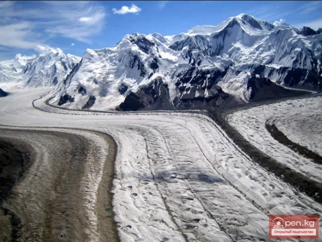
The Turkestan Range, along with the Zeravshan Range, extends from the massif of Eagle Peak (5301 m) at the upper reaches of the Zeravshan Glacier, which gives rise to the river of the same name, not reaching the Amu Darya.
Let us make a clarification: tourists refer to the entire mountain knot adjacent to the Zeravshan Glacier (ZG) as Matcha, bounded to the northwest by the sources of the Karaavshin River.
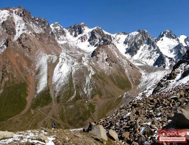
Meanwhile, the local population calls Matcha only the middle and upper reaches of the Zeravshan River, not extending it to the northern slopes of the Turkestan Range or the southern slopes of the Zeravshan Range. Most tourist routes in Matcha revolve around the Ak-Terek knot and the ZG area. Solo groups finish their routes at the Ak-su-Rama (Dzhaupay) passes or descend down the Zeravshan valley to meet with passing transport, bypassing a no less remarkable and complex area. The Turkestan Range does not end at the upper reaches of the Preobrazhensky Glacier. The character of the range here remains alpine. The ridge line is quite winding here.

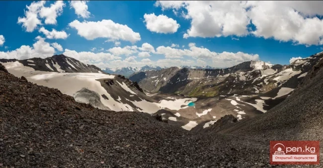
The mountain rocks are predominantly metamorphosed granites from the north. Characteristic columnar structure with steep walls ranging from 500 to 1500 m and, as a consequence, the absence of simple exits (and descents) (many saddles from 2A to 3A).
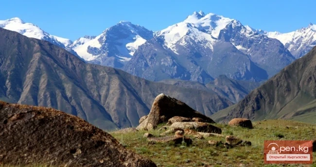
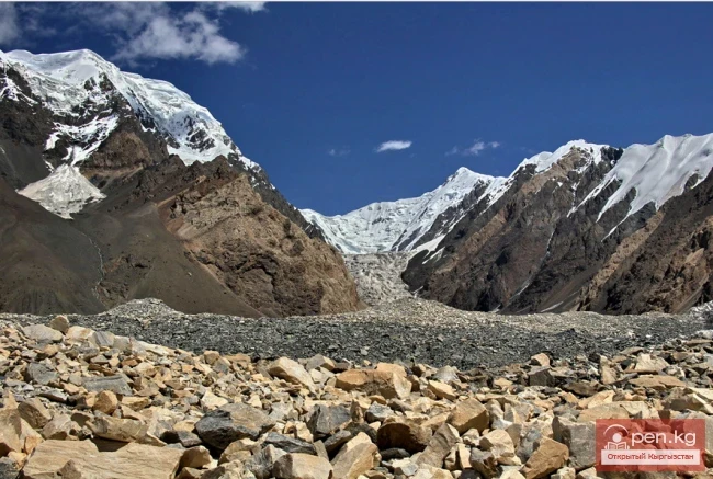
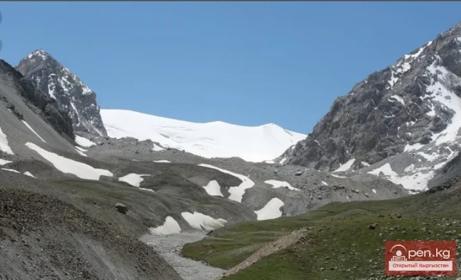
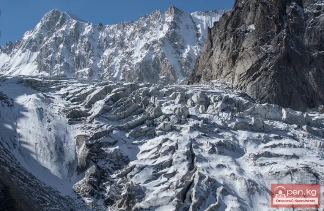
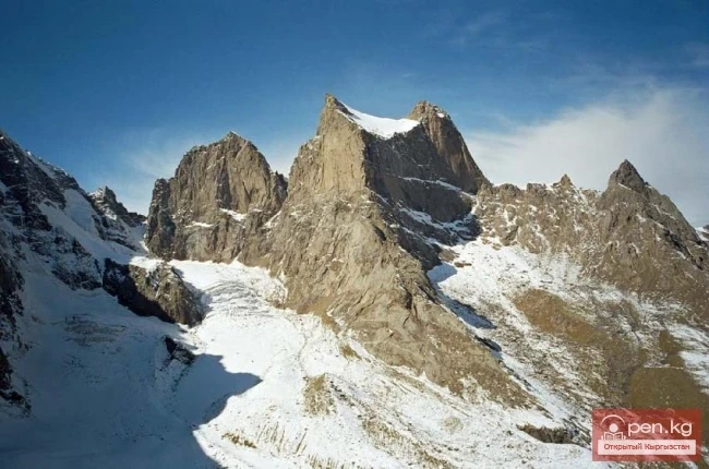
These places fall into the so-called Turkestan-Alpine zone of deep faults, hence the displacement of blocks of the Earth's crust is very significant here. The characteristic isolation of the peaks, which are massive rocky pyramids, usually lacks simple ascents. This part of the range is the highest and carries quite significant glaciation.

Many peaks exceed 5000 m ---- A. Blok Peak -- 5229 m, Ak-Tyubek Peak -- 5120 m, Ak-su Peak -- 5335 m, Admiral Peak -- 5090 m, Iskander Peak -- 5163 m, Sabah Peak -- 5300 m, and a significant number of unnamed five-thousanders, mainly located in the southern foothills. Glaciers, of course, are smaller than in the ZG area, but still of considerable length ---- Tro Glacier -- > 5 km, Dukenek Glacier -- 3 km, Ak-Tyubek Glacier -- > 3 km, Ak-su Glacier -- > 5 km, Karasu Glacier -- up to 3 km, Uryam Glacier -- 5 km, Kyrk-Bulak Glacier -- 4 km, and a significant number of unnamed glaciers with lengths of ~ 1-2.5 km on the southern slopes. After the reddish pyramid of Sabah Peak, the range descends, with only a few peaks exceeding 5000 m ---- 5022 m in the southern cirque of the Yanghi-Sabah Pass and Ak-Chukur Peak in the upper reaches of the Rukhshif River (Lyangar Valley). The passes in this part of the range are easier and lower (not exceeding 4250 m), and further west of Ak-Chukur, they are no more difficult than 1B category.

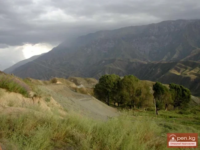
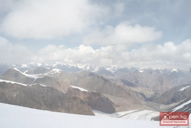
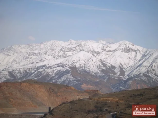
The vegetation and climate of the north and south differ radically. This is naturally related to the orientation of the northern slopes towards the Ferghana Valley basin and the microclimate of the Zeravshan Valley, which is lowered more than 2 km from the axial lines compressing its ridges.
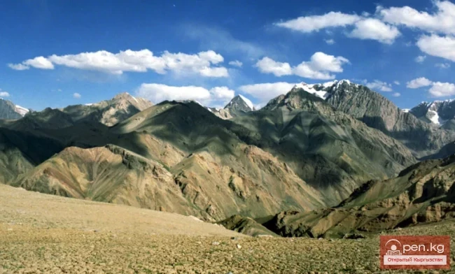
The Zeravshan River flows predominantly in canyons in its middle reaches. In the upper reaches, canyon sections alternate with wide multi-channel floodplains. Sparse grassy vegetation and rare groves hide in the mouths of numerous tributaries. In the west (below Madrushkat), trees and deciduous thickets begin to appear in the valleys of the tributaries. The valleys of the southern slopes, ranging from 12 to 20 km (from the snow line), have a significant slope. At the mouths of the rivers, there are large conglomerate saies. Just above, a section of squeezes usually begins -- trails are laid along the slopes, high above the riverbed. Higher up, the river's descent decreases, the valley widens, and the rivers can be forded. Glaciers in the upper reaches are in a state of retreat. There are many small glaciers on the slopes of the southern foothills. The climate is dry, so much so that crossing the pass in the main ridge, you feel a peculiar dry bitter smell of the south.

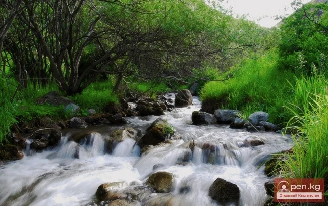
The climate in the north is more humid, and the vegetation is richer. Numerous shrubs, juniper thickets rise up to the snow line, numerous streams, and lush meadows. The valleys are wider, and canyon sections are also found ---- the middle reaches of the Dukenek and Urta-Chashma rivers, the middle reaches of the Leili-Mazar River (upper reaches of the Laylak River), and the upper reaches of the Sarkent River (Ak-Suu River).