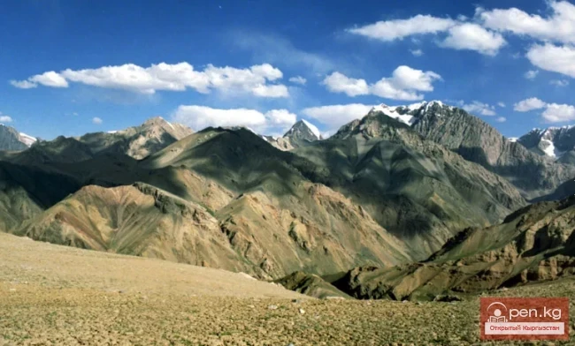
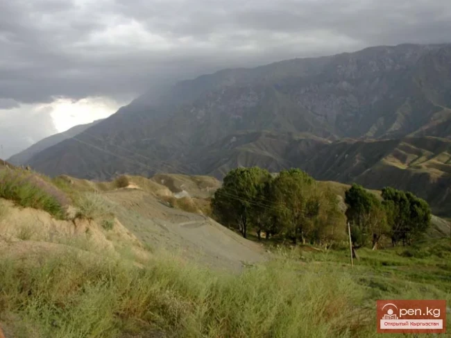
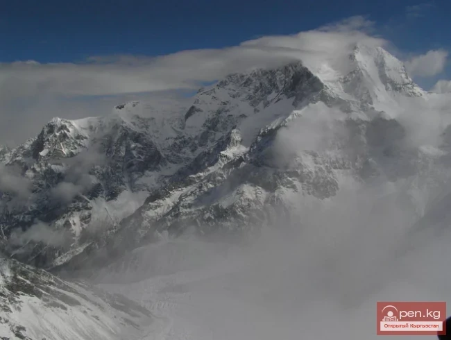
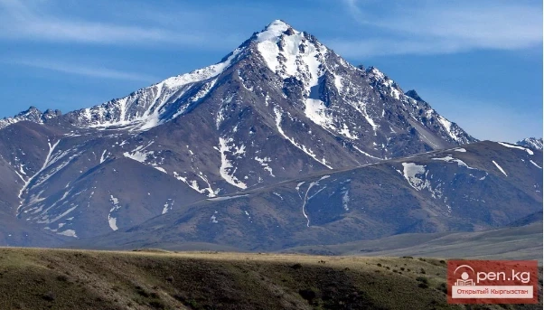
Kyrgyz Ridge - the most glaciated area in the northern part of our republic. However, despite this and its proximity to the capital of the republic, it remained unexplored for a long time. Essentially, one of the first researchers of the glaciation of this ridge, who calculated the area of glaciers, was H.L. Korzhenyevsky (1930; 1932). However, a significant contribution to the study of the glaciers of the Kyrgyz Ridge was made by the Leningrad geographer E.V. Maximov (1964, 1972). Subsequently, the work of A.O. Osmonov (1985) and a joint work by E.V. Maximov and A.O. Osmonov (1995) were published, dedicated to the features and dynamics of modern glaciation of the Kyrgyz Ala-Too. According to these authors, there are currently only 483 glaciers on the northern slope of the Kyrgyz Ridge, with a total area of 472.5 km², not counting the area of ablation covered by moraines (102.7 km²). Most glaciers are concentrated on the northern (72%), northwestern, and northeastern slopes (23%), while the peaks and ridge of the ridge are not covered by a continuous glacial cover and represent bare rocks. This is due not only to the exposure of the slopes but also to the conditions of the relief - deep and strongly dissected by numerous valleys and gorges with the presence of cirques and bowls, which are very favorable for the development of modern glaciation. No less important is the high hypsometric position of the ridge, rising to 4700-4800 m above sea level, and its relatively better moisture from atmospheric precipitation.
The average weighted height of the snow line on the northern slope of the ridge is 3840 m. The lowest position of it (3460 m) is observed in the basin of the Sokuluk River, and the highest firn line (4320-4390) is on the high glaciers of the Alamyudun basin in the upper reaches of Altyn-Ter. For valley glaciers, the firn line is at an altitude of 3700-3800 m. The position of the firn line largely depends on the dissection of the relief, although in some cases, the characteristics of the climate, shading, and steepness of the slopes also play a significant role. The significant role of the high hypsometric position in the development of modern glaciation is evidenced by the concentration of glaciers in the most elevated central part of the ridge, located between the basins of the Kegeti and Ak-Suu rivers. This part, stretching 100 km, accounts for 342.7 km² or over 72.5% of the total area of modern glaciation. To the east of the basin of the Shamsy River and to the west of the basin of the Ak-Suu River, the areas and sizes of modern glaciers gradually decrease. In terms of the number of glaciers and the area of modern glaciation, the first place is occupied by the basins of the Alamyudun, Issyk-Ata, and Sokuluk rivers.

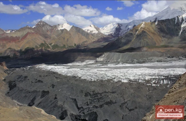
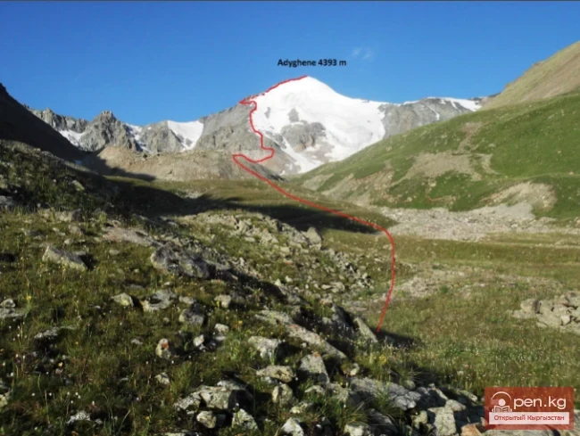
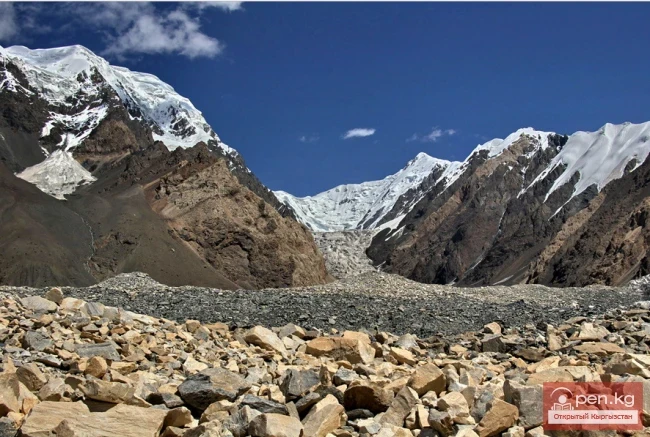
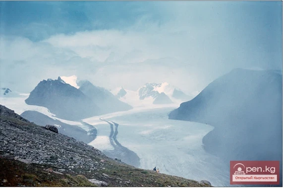
Most glaciers (73%) of the Kyrgyz Ridge have small areas - less than 1 km², and among them, glaciers with sizes less than 0.5 km² prevail. There are only 12 large glaciers with an area of more than 5 km², and 118 with an area from 1 to 5 km²; they constitute about 27% of the total number of glaciers. The largest glacier is the Golubina valley glacier in the basin of the Ala-Archa River, which is 5.6 km long and has an area of 9.4 km², without buried ice. Another large glacier is Keng-Tor in the basin of the Norus River, which occupies an area of 10 km², but about 1/3 of its area is buried under moraines. The average thickness of the glaciers of the Kyrgyz Ridge is approximately estimated by E.V. Maximov and A.O. Osmonov (1955) to be 50 m, and the ice reserves at 24 m³; if buried ice is included, then about 26 m³.
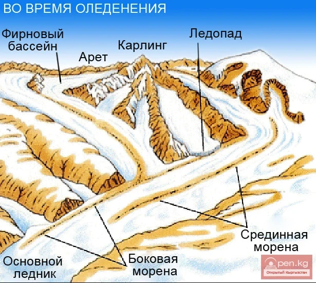
These researchers discovered 18 morphological types of glaciers in the Kyrgyz Ridge. The great diversity of them is due not only to the complex evolutionary development and far-advanced process of degradation of glaciers but also to the predominance of deeply dissected alpine relief of this ridge.
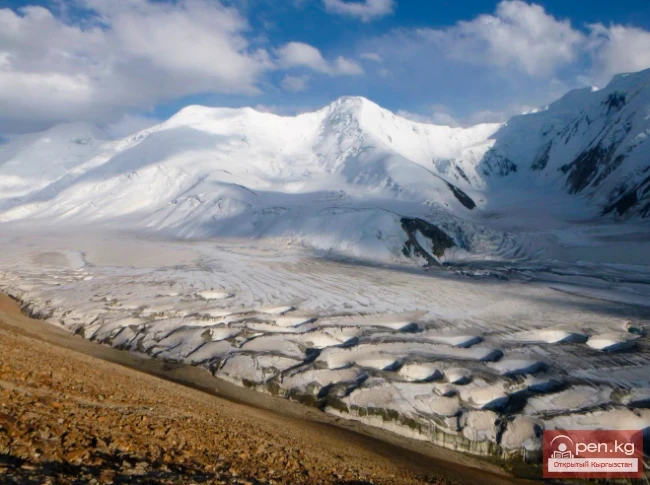
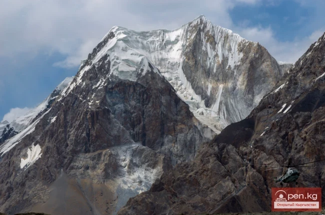
Among the morphological types of glaciers, cirque and hanging glaciers are very widespread, followed by valley glaciers. All large glaciers are valley and complex valley glaciers. The latter include the glaciers of Vardanyants, Toktogul, Anastasia, and others. In the Kyrgyz Ridge, the modification of complex valley glaciers is common - secondary complex valley glaciers, whose upper parts are formed by several complex cirques or large chambers of one cirque, and the firn line rises above the ends of the ridges separating them. Cirque glaciers are associated with cirques and constitute almost half of the glaciers of the ridge. Hanging glaciers are usually small in size and occupy the shaded slopes of valleys, cirques, and cirques.
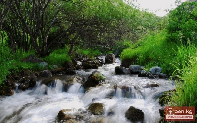
Significantly widespread are the buried glaciers, which represent the lower parts or tongues of glaciers covered by moraine accumulations.
The open ends of glaciers on the northern slope of the Kyrgyz Ridge lie at an average altitude of 3660 m. Very low (3020-3180 m) the ends of glaciers descend in the southeastern and eastern periphery of the Western Alamyudun massif. In the western part of the ridge, especially on the glaciers of the Chong-Kaingdy basin, they rise to 3700-3750 m. In the basins of Sokuluk, Ala-Archa, and Alamyudun, glaciers end at an altitude of 3500-3600 m, while in the eastern half of the ridge (basins of Keng-Tor and Issyk-Ata) - at an altitude of 3840-3860 m; in the basins of the Shamsy and Kongorchok rivers, they decrease to 3620 m and 3670 m. The buried ends of glaciers are at an altitude of 3430 m, i.e., 230 m lower than the open ends.
Considering the modern trends in the development of glaciers of the Kyrgyz Ridge and the formation of terminal moraines of a number of glaciers (Salyka, Natalia, Soverkina, Morning, Pastukhov, Mayakovsky, Zabirov, Top-Karagay, Tushinsky, Leningradtsy, and others), E.V. Maximov (1995) asserts that since the maximum of the last glaciation, the glaciers of the Kyrgyz Ala-Too have been steadily shrinking. However, this reduction has been characterized by a back-and-forth stage-like nature. In fact, two last moraines - YI and YII stages - refer to modern historical time. Theoretically, their age is estimated at 2000-2500 and 100-300 years ago. The last activation of the glaciers of the Kyrgyz Ala-Too occurred between the beginning of the 1960s and 1979. It mainly affected medium and large glaciers of the ridge and had little impact on small glaciers, which remained stationary in most cases. The glaciers of the peripheral parts of the ridge have mainly shrunk compared to their sizes in the early 1960s, while the glaciers of the central part of the ridge, especially in the Western Alamyudun massif, on the contrary, exceed the sizes noted in the early 1960s. According to E.V. Maximov, over the next 6 thousand years, the glaciers of the Kyrgyz Ala-Too will maintain a general trend of reduction. During this time, the snow line should move up by 550 m. For the Kyrgyz Ridge, this is equivalent to the complete disappearance of glaciation. Furthermore, based on A.V. Shnitnikov's concept of a 1850-year rhythm, the author writes: "Throughout the entire third millennium of the new era, conditions for the existence of glaciers in the Kyrgyz Ala-Too will be unfavorable, especially in the second half of the millennium. At the very beginning of the fourth millennium, there will be an activation of glaciation associated with increased moisture. Then, after some reduction of glaciation, a 'cold' stadial will begin, the culmination of which should take place in the second half of the fourth millennium of the new era" (p. 149). Evaluating the state of glaciation of the Kyrgyz Ala-Too at the end of the 20th century and in the 21st century, E.V. Maximov definitely believes that in the next 10-15 years, glaciers will actively shrink. In the 21st century, against the backdrop of general glacier reduction, their movements can be expected around the 20s, around the 40s, and a little later in the 60s and 80s. Touching on the impact of the tectonic factor on the future state of the glaciers of the Kyrgyz Ala-Too, he notes that negative movements of the Earth's crust will ultimately contribute to accelerating the process of glacier disappearance (especially small glaciers in the basin of the Kongorchok River, all buried glaciers in the eastern part of the ridge), while positive movements (for example, uplift in the area of the Western Alamyudun massif) will contribute to their preservation.