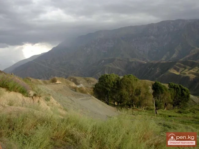
Sarydjaz
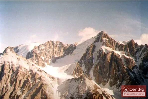
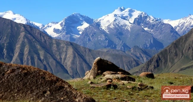
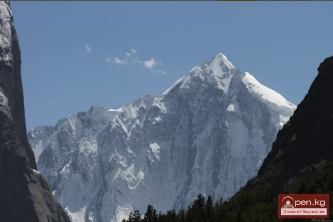
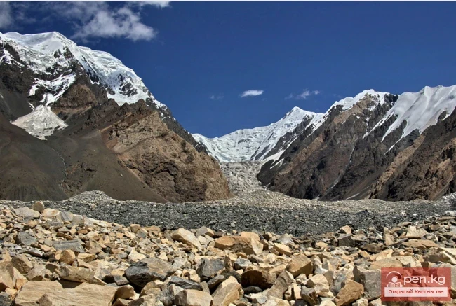
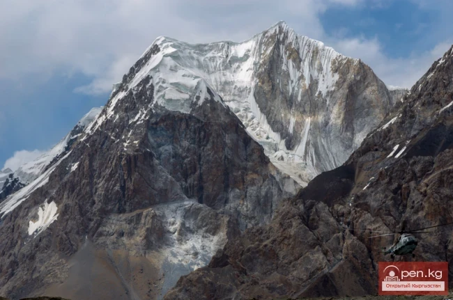
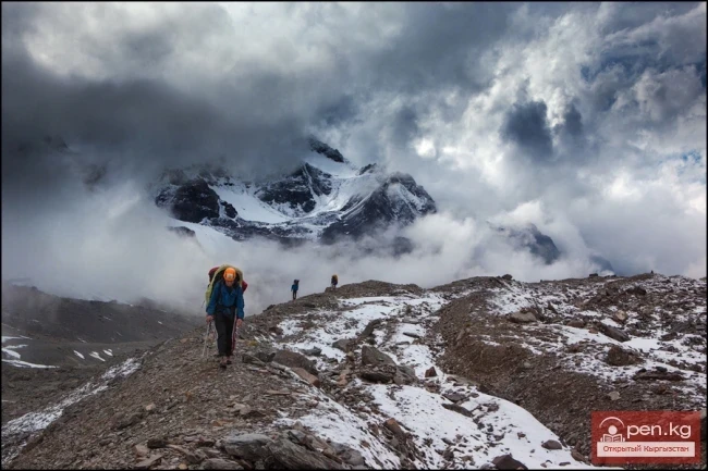
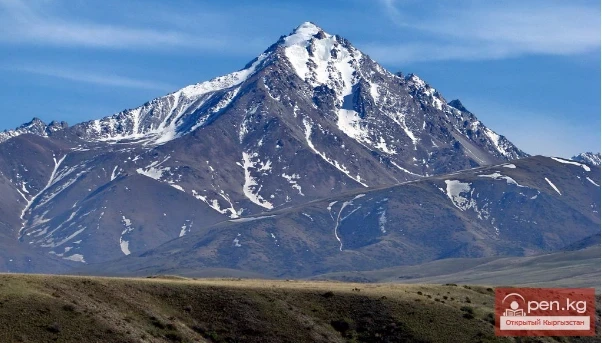
The mighty snow-covered barrier of the Sarydjaz mountain range rises in the Central Tian Shan, on the territory of Kyrgyzstan and partially Kazakhstan. It is located between the Sarydjaz River to the north and its left tributary, the Inylchek River, to the south. The length of the ridge is 113 km, with a width of up to 16 km. Its peaks rise above 5000 m. The average height is 4370 m, with the highest point being Semenov Peak (5816 m). The ridge is composed of metamorphic schists, granites, and marbleized limestones. Starting from an altitude of 3000 m, permafrost rocks are prevalent.

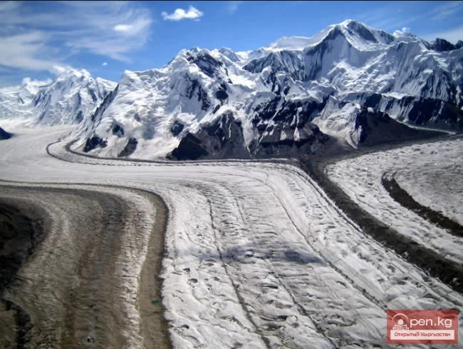
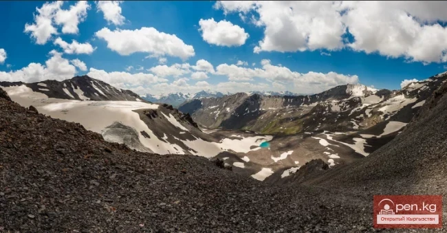
The ridge is characterized by significant glaciation on the northern slopes, while the southern slopes have less extensive but fairly developed glaciation. This is particularly true in the eastern part of the ridge. West of the 5,063 m peak, it degrades quite rapidly—peak heights drop sharply, and snow cover and glaciation decrease significantly.
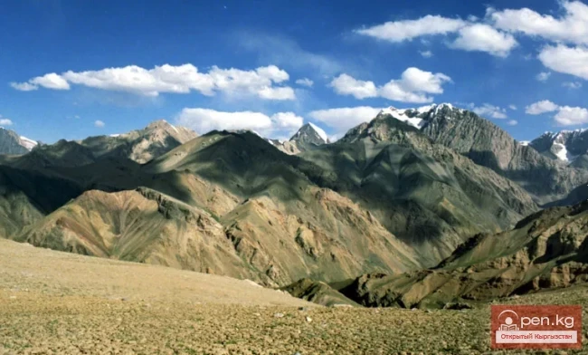
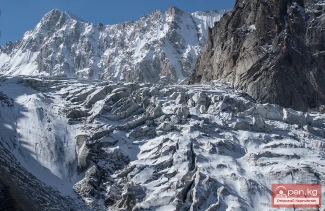
On the northern slope, the Semenov and Mushketov glaciers are located, and at the foot of the southern slope is the North Inylchek glacier. There are also small glaciers in the ridge area. The Tez Pass serves for the transhumance of sheep herds.

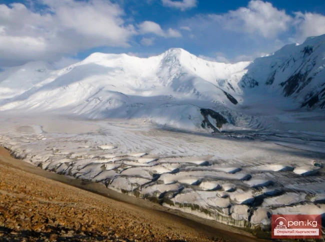
Despite the fact that there are no peaks higher than 6000 m in the ridge (except for the Plateau Peak at the junction of the Sarydjaz and Meridional ridges), this ridge has considerable glaciation and passes above 4000 m. In the most interesting part of the ridge (adjacent to the North Inylchek glacier), there are no simple passes at all; simple passes are concentrated in its western part, and there are very few of them.