Komarov Glacier (Ak-Sai), Kokshaalsky Ridge
The first survey of the glaciation in this area was conducted by N. N. Palgov in 1928, so we refer to his article.
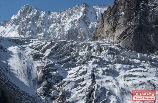
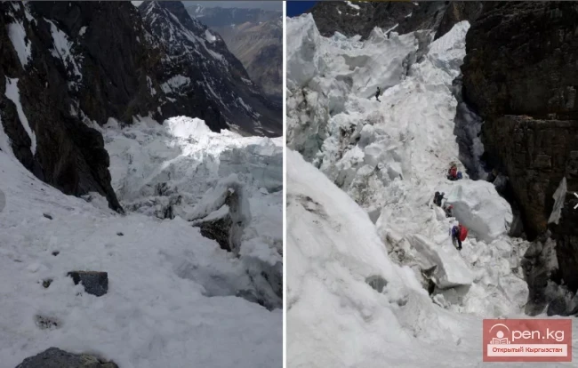
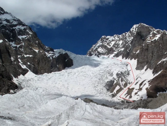
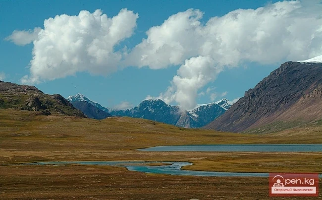
The glaciers of the upper reaches of the Ak-Sai River flow down from Kok-Shal-Tau onto a wide plateau known as the Kogaly-Chap area. The relief of this plateau-lake, with its huge boulders, reveals its glacial origin. Therefore, all the glaciers of the upper Ak-Sai can be considered remnants of an ancient glacier that, in its final retreat stage, resembled the glaciers of Alaska. It is interesting to note that even now the main glacier in this area, Kizil-Unet (Komarov Glacier), has a similar character. It consists of three parallel branches, each with its own feeding area.
Merging together, they form a grand flow 4 to 5 km wide.
The firn basins of these sources have an elongated shape. The tongue of the glacier resembles a part of a circle with a very large radius. The Kizil-Unet River flows out of the glacier through three streams, the most powerful being the middle one, which emerges from the most protruding part of the arc. The middle stream does not flow from under the ice wall, which reaches 40 m here, but from its middle, bursting out of an ice tunnel and forming a powerful waterfall of yellowish water. The moraines have been described by Palgov, and we will not dwell on them. We conducted the following measurements on this glacier (Fig. 2).
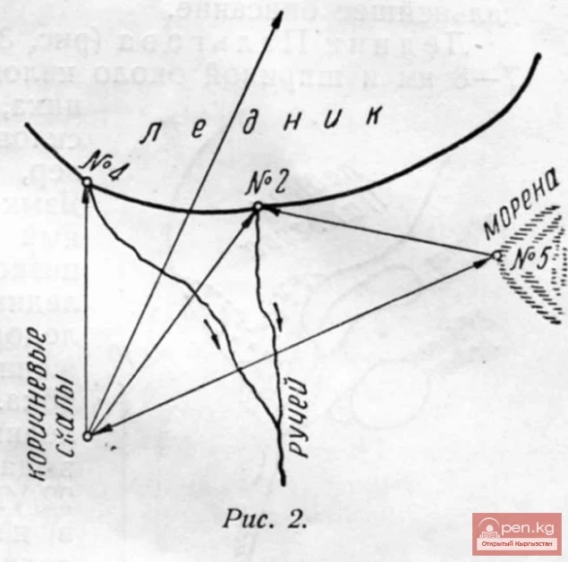
On the brown rocks of the right eastern bank of the valley, approximately 0.5 km from the tongue at the first outcrop, moving from the bottom of the valley, a cairn was built from which the following bearings were taken with a compass: 1) on the protruding part of the glacier (waterfall) (point No. 2—azimuth 226°), 2) on the source of the left river (eastern, point No. 4)—azimuth 178°, 3) on the highest point of the ridge separating the left branch from the middle—azimuth 177°.
On the outcrop of the old moraine on the left bank of the river (point No. 5 opposite the yellow rocks), a cairn was built from which the following bearings were taken: 1) on point No. 1—azimuth 53°, 2) on the waterfall—azimuth 63°. No marks were made due to the lack of paint.
To the east of the Kizil-Unet Glacier, in the next large valley of the Kok-Shal-Tau ridge, lies the highest point of the Kok-Shal ridge (according to the ten-verst map, 5899 m). This peak was named by us Kzyl-Asker ("Red Army Soldier"). Hoping to examine the glacier descending from the slopes of this peak, we ascended the ridge separating Kizil-Unet from the east, but it turned out that from the middle of this ridge, another low ridge separates to the east, and in the triangle formed lies a small (about 2 km long and 0.5 km wide) completely flat glacier, whose feeding seems to have almost ceased. To the east of the Komarov Glacier (Kizil-Unet) is the Mushketov Glacier (Oto-Tash), separated from the first by a low ridge; this glacier was not visited by us. If the Komarov and Mushketov glaciers seem to flow onto a wide plain and their tongues are at the same height as the entire Kogaly-Chap area, then the glaciers of the upper reaches of the Aytaly River (source of Chon-Uzenggush) lie in hanging valleys, which is especially noticeable from the plateau separating the upper reaches of the Ak-Sai and Chon-Uzenggush rivers. In the upper reaches of the Aytaly River, there are two glaciers named by Palgov after D. V. Nalivkin and N. G. Mallitsky.
