Orography of the Chui Valley
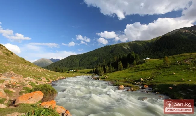
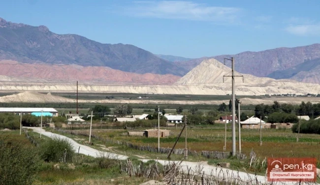
The Chui Valley is located on the northern edge of the Kyrgyz Republic. The Kyrgyz part of the valley covers the relatively extensive left bank of the Chu River from the meridian of the Boom Gorge in the east to the upper and middle reaches of the river (Aspara) Ashmara, a right tributary of the Kuragaty River in the west. The valley stretches in a latitudinal direction from west to east over a distance of 200 km, and 100 km from north to south at its widest point. To the west and northwest, the valley is open and gradually transitions into the vast sandy desert of Moyun-Kum. The lowest elevations (570-590 m) are observed in the north and northwest near the Tashatkyl Reservoir. To the south and southeast, the elevation increases near the village of Dzhiel-Aryk and reaches 1250 m. Thus, there is a general slope of the plain from east to west, which, along with the slope to the north and northwest flow of the Chu River, has determined its shape.
The Chu River divides the valley into two unequal parts, causing the asymmetry of its cross-section, with a wide left bank (up to 100 km) and a narrow right bank (up to 10 km).
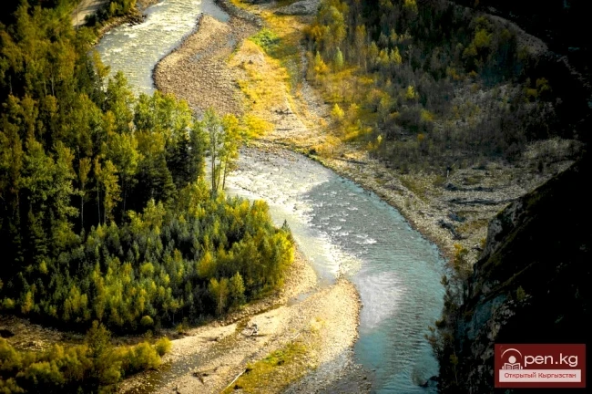
The bottom of the Chui Valley is composed of loose sedimentary deposits, predominantly represented by gravel, sometimes with layers of sand and gravel. Closer to the mountains of the Kyrgyz Ridge, in the foothill zone, the surface formations are represented by powerful coarse-grained debris flows from mountain rivers and temporary watercourses.
Orography
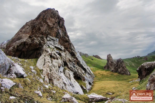
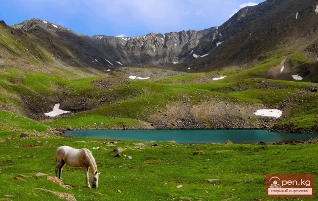
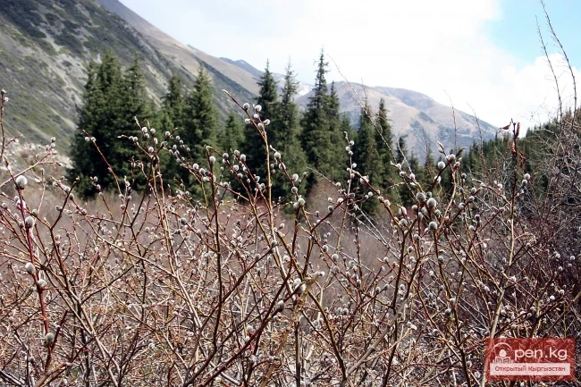
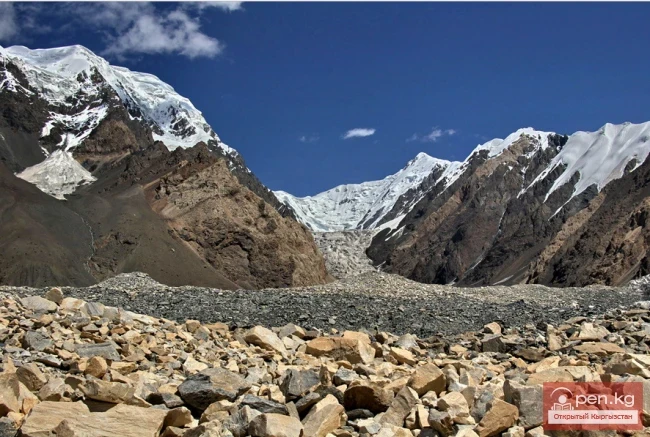
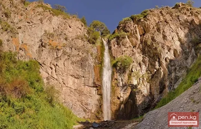
To the south, the Chui Valley is framed by the Kyrgyz Ridge (Fig. 1). In the extreme east, its spurs, known as the Kyzyl-Ompol Mountain, reach a height of 3180 m and do not reach the shores of Lake Issyk-Kul. From this spur, the Kyrgyz Ala-Too extends westward to the Kara-Balta Pass in a latitudinal direction. Then, the axial ridge of the ridge in the western part of the Chu River basin sharply changes its direction from latitudinal to meridional and forms an oval-shaped protrusion directed northward. West of the basin of the Zharly-Kaindy River, the axial ridge aligns again, but acquires a sublatitudinal direction and ends near the city of Taraz (Jambyl region).
In a straight line, the total length of the Kyrgyz Ridge within the specified limits is 360 km, and taking into account the main bends, it is 410 km. Rising near the city of Taraz only 50 m above the river Talas and 640 m above sea level at the Tekturmasa Mountains, the Kyrgyz Ridge gradually increases in height to the east. Between the sources of the Chonor and Makmal-Chal rivers, it rises above the snow line, reaching heights of 3750-3850 m. Further, the ridge again decreases to 2700-2800 m. South of the village of Merke, starting from the basin of the river of the same name in the area of the Kok-Kiya Pass, the heights again increase to 4100-4200 m at the junction of the basins of the Zharly-Kaindy, Chon-Kaindy, and Karakol rivers of the Talas region. Further, the ridge again decreases in the middle part of the Kara-Balta River basin to elevations of 3500-3600 m. But at the sources of the Kara-Balta River (from the Tyo-Ashuu Pass), the heights immediately increase, and the ridge again rises above the snow line. At the meridian of Bishkek, the heights reach 4500-4800 m. A similarly high part of the ridge, but slightly lower at 4200-4400 m, extends eastward to the Shamsy Pass. East of this pass, the axial ridge of the ridge reaches 4000-3800 m, steeply descending to the east towards the Kerke Pass and further to the basin of the Tunduk River.
An important feature of the orography of the Kyrgyz Ridge is that its axial ridge is somewhat shifted to the south of the highest peaks, which are located on the lateral spurs that extend northward.
On the northern slope of the Kyrgyz Ridge, numerous lateral spurs of meridional and closely related orientations extend from the axial ridge. These include the Ala-Archinsky, Alamudunsky, Sokuluksky, Issyk-Ata, and other spurs. The highest elevations of the Kyrgyz Ala-Too are associated with the first of these - the western Alamudun Peak (4895 m). At least 10 peaks of this massif have heights of 4700-4800 m. In the Alamudun spur, the Kyrgyzstan massif rises (4840 m). The continuation of the Alamudun spur is the Ken-Tor spur (4200 m), while the Issyk-Ata spur has a height of 4550 m, and others. On the watershed ridge between the basins of the Noryuz and Issyk-Ata rivers is the peak of the Communist Party of Kyrgyzstan (4483 m).
To the west of the axial ridge of the ridge, several fan-shaped diverging mountain spurs extend, forming private watersheds between river basins. The largest of these are the Ak-Suisky with heights of 4454 m, the Kara-Baltinsky, which rises in the middle part to elevations of 4100-4200 m, the hard-to-reach Chon-Kaindy (4410 m), the Zharly-Kaindy (4260 m), the Ashmirinsky with a height of 4243 m, and the Merken (4150 m).
Read also:
Suusamyr Valley
The length of the valley is 155 km. It is bordered on the north by the Kyrgyz Ala-Too, on the...
The title translates to "Dzhomantau Ridge."
Jamanatau A mountain range in the Tian Shan, located in Kyrgyzstan, northwest of Lake Chatyr-Kul....
Kuylytau Ridge
Kuylytau A mountain range in the Central Tien Shan, in Kyrgyzstan. It is located between the...
Chuy Region
The Chuy Region was established on December 14, 1990. Until 1939, various...
Orography and Relief
Curl error: Operation timed out after 120001 milliseconds with 0 bytes received...
Valley of the Chatkal River
Chatkal Valley is 30 to 50 km wide and stretches from the southwest to the northeast for 150 km....
The title "Река Аспара" translates to "Aspara River" in English.
Aspara A river in the Panfilov District of Chuy Region, Kyrgyzstan, and the Merken District of...
Kara-Suu
The "Kara-Suu" Zone is located in the eastern part of the southern slope of the Chatkal...
Zone "Chatyr-Kel"
The Chatyr-Kel Zone includes a significantly elevated intermountain basin with a lake of the same...
Jumgaltau Ridge
Jumgaltau A mountain range in the northern part of the Tien Shan, in Kyrgyzstan. The ridge extends...
River Karakulja
Karakulja The Chatkal River in its upper reaches is called Karakulja (translated - Black Ram),...
Small Naryn
Small Naryn encompasses the valley of the river of the same name, located between the ridges of...
Zailiysky Alatau Ridge
Zailiyskiy Alatau A mountain range in the northwest of the Tian Shan (on the border of Kazakhstan...
Kungey-Alatau Ridge
Kungey-Alatau To the south of the Zailiysky Alatau, beyond the deep longitudinal valleys of the...
The title translates to "Kainyda-Katta Ridge."
Kainyda-Katta In the Central Tien Shan in Kyrgyzstan, extending west from the peak of the Red Army...
The Valley of Chichkan
The Chichkan River flows from the north into the Toktogul Reservoir. It is a small river with...
Kara-Balta
Kara-Balta, which translates as "Black Axe," is one of the youngest cities in the Kyrgyz...
Zhalay Range
Zaalai Ridge A ridge oriented in a latitudinal direction, separating the Pamir and the Alai...
Ak-Sai Valley
Ak-Sai Valley - the Kyrgyz Pole of Cold Located in the south of the Naryn region, it is bordered...
The River Aflatun
Aflatun River – the largest right tributary of the Kara-Suu River in the Jalal-Abad region. The...
The Influence of Islam on the Kyrgyz People
The Influence of Islam on Kyrgyz Rituals On the map of the Liao era (916—1125) and Northern Song...
Geological Structure and Tectonics of the Chuy Valley
The Chui Valley (depression) and the Kyrgyz Ridge framing it from the south are located within the...
Rivers of the Chui Valley
The Chui Valley has a developed river network. The river network is especially dense on the...
Talas Ridge
Talassky Ala-Too A mountain range located in the Western Tien Shan system. Most of it is situated...
"Chon-Kemin Zone"
Chon-Kemin Zone includes the valleys of the Chon-Kemin and Kichi-Kemin rivers between the high...
"Suusamyr Zone"
The Suusamyr Zone includes the eponymous high-altitude valley stretching 155 km. To the north, it...
Glacier Kyzylsu
Kyzylsu - Red Water The Kyzylsu Glacier (often referred to as the Eastern Kyzylsu) is a complex...
Tectonics of the Chuy Valley
The main structures of the Chui Basin and its mountainous framing were formed by Baikal and...
Turkestan Range
Turkestan Range A high mountain range oriented in a latitudinal direction, approximately 340 km...
Zone "Tar"
The "Tar" zone includes the valley of the river of the same name and its tributaries. In...
The Valleys of Alamedin and Issyk-Ata
Ala-Medin. The Ala-Medin Valley is located 25 km from Bishkek. The valley opens up through the...
Ak-Talaa
Ak-Talaa includes the valleys of the Ala-Buka, Arpa, and Terek rivers, as well as the southern...
Glacier Koy-Kap
Koy-Kap - Glacier in the Khan-Tengri Massif The Kaindy Ridge, which separates the valleys of the...
Zone "Aflatun"
Aflatun Zone is located on the southeastern slopes of the Chatkal Ridge and occupies the basin of...
Kgety Waterfall
Big Kegety Waterfall The waterfall is located in the Kegety Gorge, which is in the Chuy region, 18...
The Village of Massy
Massy – a village, the center of the Nooken district. It is located 60 kilometers northwest of the...
Kyzyl-Unkyur
The "Kyzyl-Unkyur" Zone is located 15 km northeast of the village of Arslanbap in the...
Batken Region
The Batken Region was established on October 12, 1999, from the Osh Region. It includes the...
The Ridges of Sonkyoiltau and Susamyrtau
Son-Kul-Tau A mountain range in the Tian Shan, in the southeastern part of Kyrgyzstan. It arches...
Kek-Art
The "Kek-Art" Zone encompasses the surroundings of the city of Jalal-Abad, as well as...
Alay Ridge
Alay Range A mountain range of the Pamir-Alai mountain system in Kyrgyzstan and partially in...
Fergana Range
Fergana Ridge A mountain range in the Tien Shan that stretches from southeast to northwest,...
Terskey Alatoo Ridge
Terskey Alatau The Terskey Alatau Ridge is very beautiful in its variety of landscapes. In one...
The title translates to "Cholok-Korgon Fortress."
Cholok-Korgon Fortress is located two and a half kilometers northeast of the village of Konorchok...
Naryn Region
The Naryn Region is located in the southeast of Kyrgyzstan and was first established on November...
"Upper Naryn Zone"
The "Upper Naryn Zone" includes the upper part of the Naryn River basin from the...
Zone "Isfayram-Sai"
Zone "Isfayram-Sai". The left tributary of the Isfayram-Sai River is the Surme-Tash...
Fergana Valley
The Fergana Valley is popularly known as the "pearl" due to its rich oasis. The Fergana...