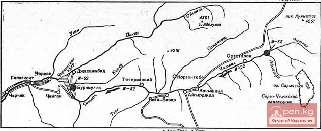
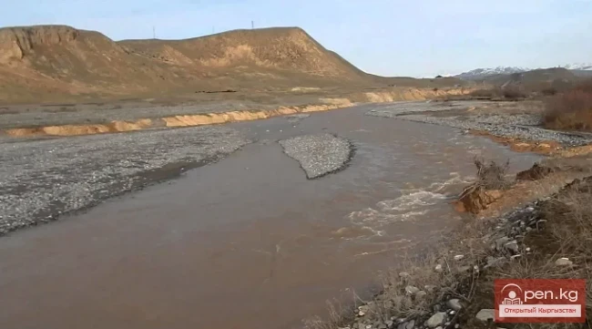
Aflatun River – the largest right tributary of the Kara-Suu River in the Jalal-Abad region.
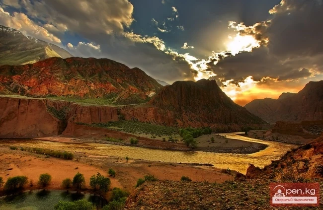
The valley of the Aflatun River leads to the most accessible pass connecting the Chatkal Valley with Fergana.

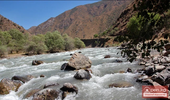
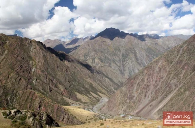
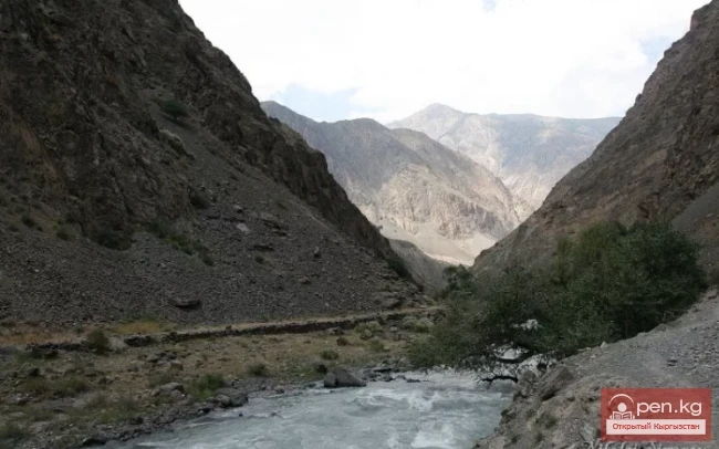
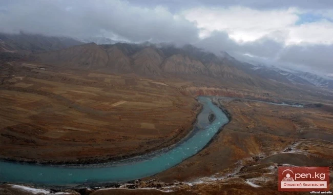
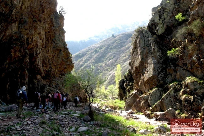
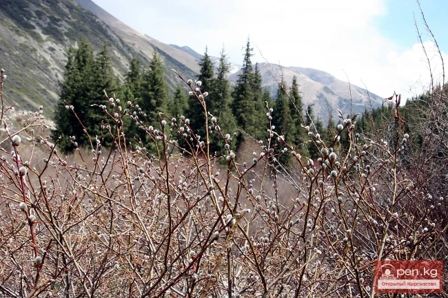
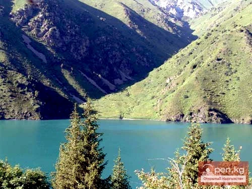
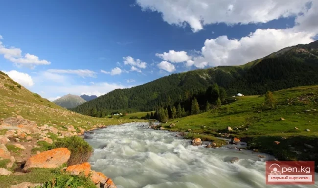
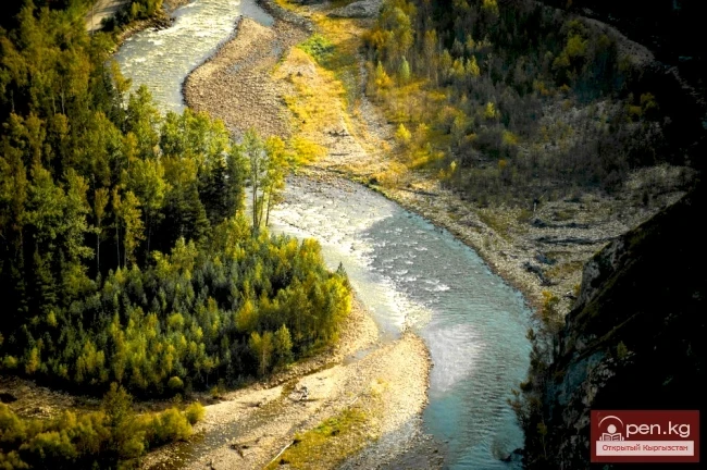
The lower steppe part of the valley stretches for about 6-7 kilometers. Two river terraces are covered with dry grass, and only at the very bottom, by the riverbed, there is a narrow strip of green trees. Further, the river deepens into a rocky canyon, the walls of which rise as they approach the mountain range. After 2-3 km, the gorge reaches its greatest depth, with the rocky cliffs of the left bank being particularly grand, with a gray vertical wall rising 1000 m above the riverbed. Crevices, ledges, and projections on the right bank are densely overgrown with juniper and fir. A good trail in this area descends to the river and crosses to the left bank. After 3-4 km at the confluence of the two sources of Aflatun, the gorge widens sharply. The valley represents a flat bottom of a dried-up lake, completely covered with gravel, under which the river is entirely hidden.

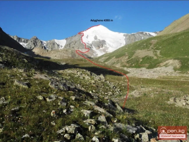
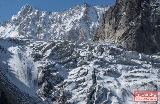
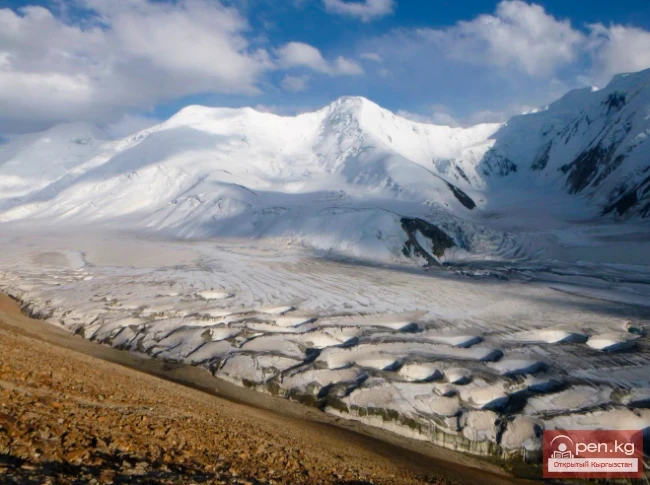
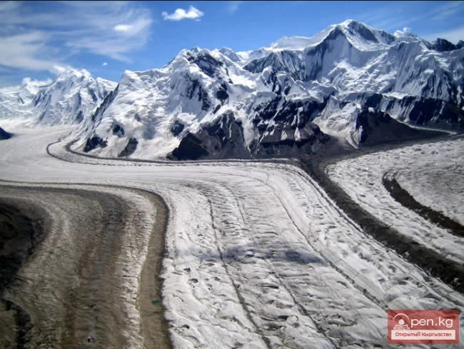
The left source merges from two streams, at the headwaters of which (according to the description by Makachek) there are two small glaciers. The main source of Aflatun sharply turns east at the fork and runs along the southern slopes of the White Hat peak to a depression in the rocky ridge descending from Chatkal Ushba to the south. The saddle in the ridge is the Karatoku pass, leading to the valley of Lake Sary-Chelek. To the southeast of the fork in the Main Chatkal Ridge rises a peak of bizarre shape, resembling an upraised finger, from which extremely jagged ridges steeply descend on both sides. The height of the peak, named by the expedition "Castle of Fairy Tales," is about 4200 meters.

The trail to the Aflatun pass runs along the left bank of a small hanging valley, encircling the Castle of Fairy Tales from the east. The ascent to the pass begins on grassy slopes and then moves over scree. The pass point is located in the depression of the eastern ridge descending from the Castle of Fairy Tales. The ridge is extremely eroded, and the upper part of the pass consists of a mass of brownish scree; the height of the pass is 3340 meters.

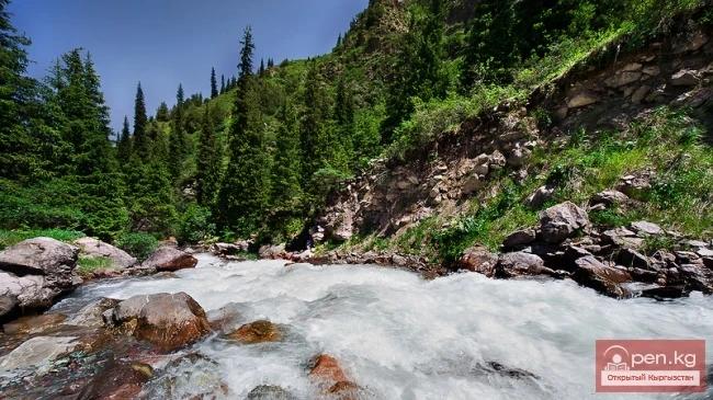
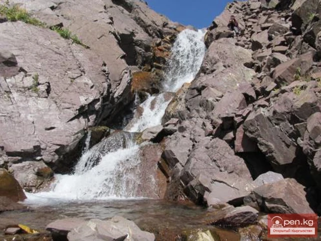
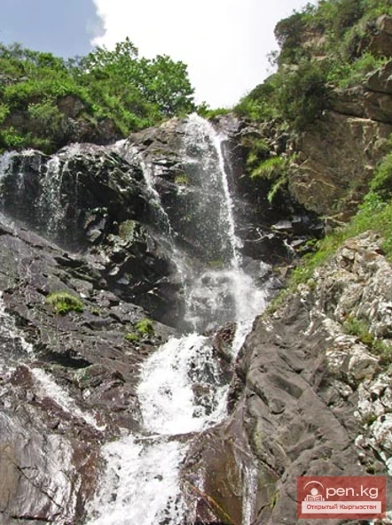
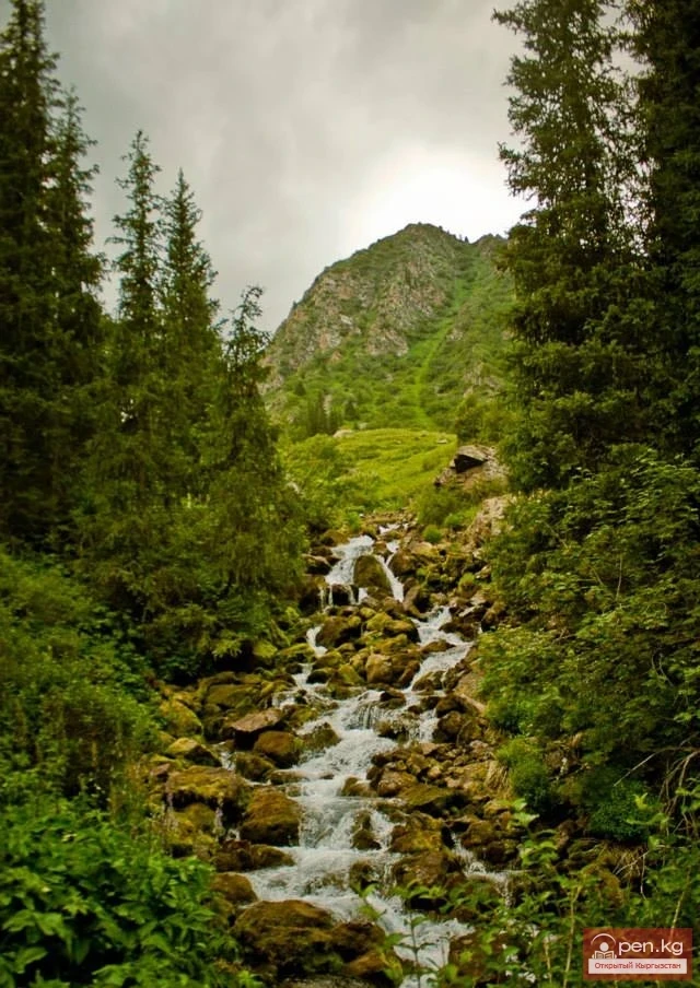
In the area of the nature reserve, the Uu-Tor tributary flows into Aflatun from the right. At the confluence, a massive tower of weathered sandstones rises about 300 m high. In the upper reaches of Tuyuk – a tributary of Uu-Tor – there is a picturesque waterfall. The water falls from a rocky wall several dozen meters high.