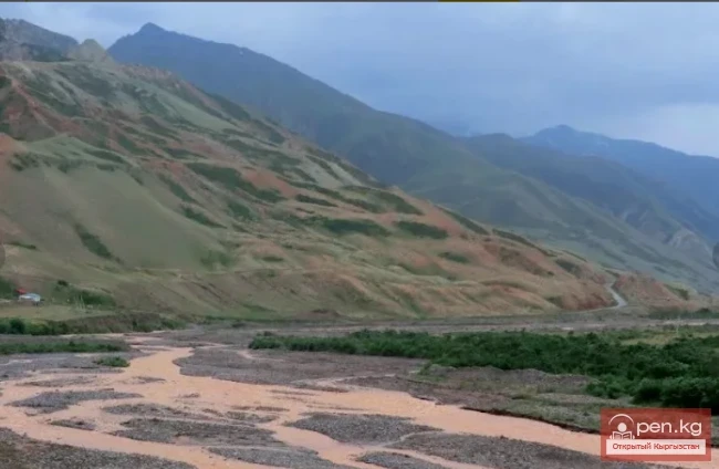
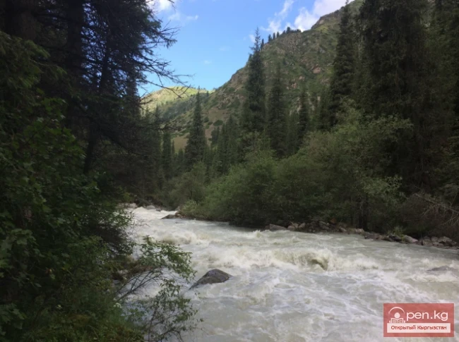
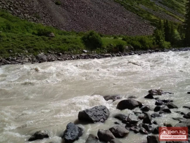
Kyzyl-Suu (Kyzyl-Suu River, Красная река) - a river in Kyrgyzstan and Tajikistan, the right source of Surkhob.
It flows from east to west through the Alai Valley. At an altitude of 1834 m, merging with Muksu near the village of Dombrach, it forms the Surkhob River.
The length is 242 km (from the source of Aylama to Muksu). Of these, 193 km flows through the territory of Kyrgyzstan and 49 km - through Tajikistan. The basin area is 8380 sq. km.
The right (longest) source of Kyzyl-Suu is the Aylama River, which originates on the southern slope of the Alai Range in its eastern part. Descending into the Alai Valley and receiving small tributaries on the 27th km from the right, the river is called Kashkasu. It flows through the Alai Valley, spreading into several channels and forming numerous meanders.
At the 43rd km from the source of Aylama, Kashkasu merges with a large left tributary of Kyzyl-Suu - the Kichkesu River, which has intensely red-colored water. This river, 26 km long, originates from the Right Kichkesu Glacier in Eastern Zaalai (the eastern part of the Zaalai Range).
After the confluence of Kashkasu and Kichkesu, the river takes the name Kyzyl-Suu (red river). At 85 km from the source of Aylama, the river passes the southern outskirts of the large settlement of Sary-Tash and flows into the western part of the Alai Valley. At 153 km, just beyond the settlement of Daraut-Kurgan, Kyzyl-Suu receives a large left tributary, Altyndaru.
From Sary-Tash to Daraut-Kurgan, the river flows through several shallow channels, whose beds often change.
In the area of Daraut-Kurgan, the Kyzyl-Suu valley narrows, but then quickly expands, and the river again splits into channels. There are several such narrowings and expansions of the valley before the confluence with the Aksu River.
Immediately after the mouth of Aksu, where the village of Karamyk is located, the river is squeezed by the foothills of the ridges, and it quickly enters a deep, narrow canyon - a rocky gorge about 50 km long. The width of the canyon in some places does not exceed 20 m.
The canyon stretches to the mouth of a large left tributary - Muksu.
From the mouth of Muksu, the river is already called Surkhob.
The feeding is glacial-snow. The right tributaries flow down from the southern slope of the Alai Range, while the left ones flow down from the northern slope of the Zaalai Range.
Right tributaries: Taldyk, Southern Sarymogol, Kashkasu, Kyzylunkur, Daraut, Keksu, Oksu.
Left tributaries: Kattaaryk, Kyzildarya, Achikbash, Komansu, Mindzhar, Synardzhar, Achiksu, Kokkiik, Altyndara, Tarasha, Shivee, Guloma.

