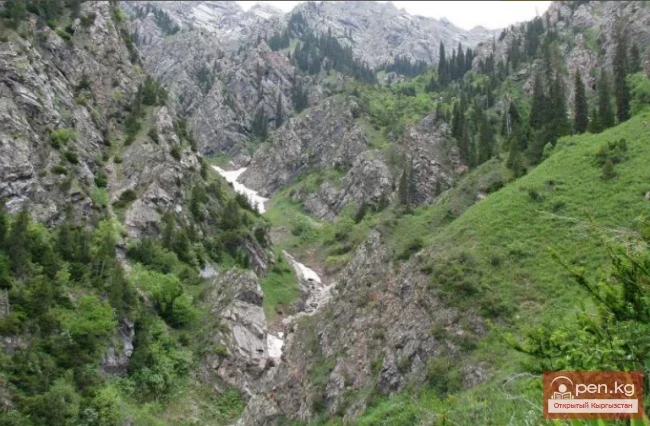
Kara-Balta Gorge is located on the northern slope of the Kyrgyz Ala-Too.
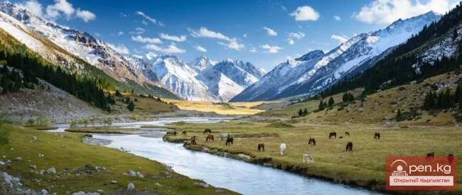
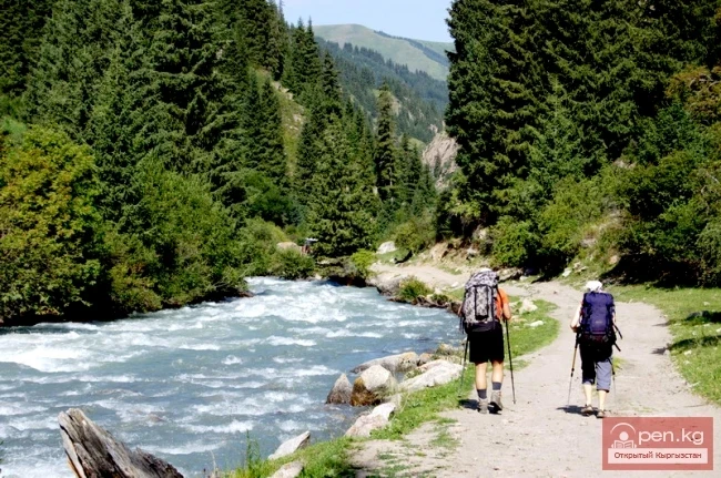
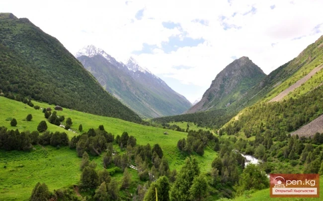
The Kara-Balta Gorge begins at the village of Sosnovka and winds for several dozen kilometers to its highest point—the Tyo-Ashuu Pass (about 3000 m). Beyond it lies Suusamyr. The Bishkek-Osh highway runs through the gorge. The road is picturesque—it first follows the Kara-Balta River, ascending to the Toо-Ashuu Pass at an altitude of about 3200 meters, and then descends into the Suusamyr Valley. The gorge is very scenic, deep, and narrow, with steep slopes, and the road winds along the very bottom.

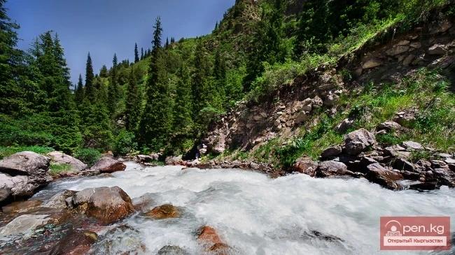
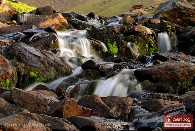
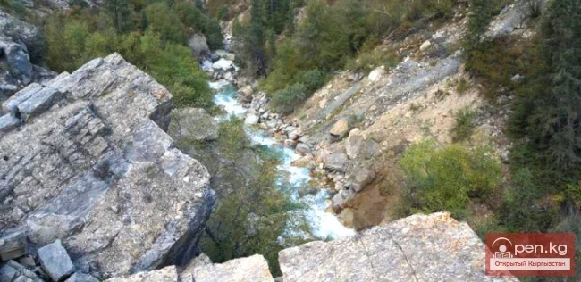
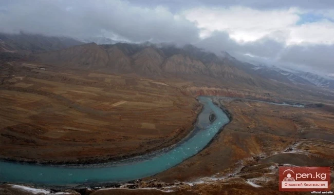
Two small rivers flow through the gorge—the Kara-Balta and Abla. The sources of the river called Kol-Bashy lie in the southwestern corner of the Kara-Balta River basin. The total length of the river is 133 km, and its water supply is from snow and glaciers.

On the left, the Kara-Balta River receives several minor tributaries: Abla, Kol, Tuyuk. Among the right tributaries, the most important is the Abla River, which begins almost at the top of the pass.

The Kara-Balta River borders the city from the east for about 7 kilometers. In the area of the city of Kara-Balta, the riverbed is dry because in the upper zone, at the river's exit from the mountain gorge, there is a watershed with drainage irrigation canals, one of which runs through the city. The riverbed and floodplain are used for quarrying activities.

The Kyrgyz mountains are relatively young. All the dramatic events, with the upheaval of earth's layers, micro-eruptions of lava, and the thrust of one mountain mass over another, occurred on the territory of modern Kyrgyzstan 30-40 million years ago. For comparison, the age of the Alps is five to ten times greater.
Tens of millions of years is not such a long time in geological terms, and since then the mountains have still preserved traces of all these processes. In older mountains, there is more debris, and erosion has usually "combed" and smoothed the originally sharp elements of the relief.
The mountains themselves consist of many layers—these are so-called sedimentary rocks. That is, geological layers that accumulated in relatively flat places for many millions of years. There could have been an ocean, dinosaurs could have roamed, anything could have happened. Over time, one layer was buried by another, and as they went deeper, they compressed and ultimately turned into a kind of underground layered cake.

Then came a moment when an unimaginable force began to tear the earth's surface apart. This likely did not happen very quickly; as the continents shifted, these layers were simply pushed together, sometimes riding over one another, and sometimes shifting into a sort of "accordion." Some parts might have slipped down into the fractures formed by earthquakes. Conversely, some parts bulged from the depths. What now rises thousands of meters up as a mountain was once part of a plain.
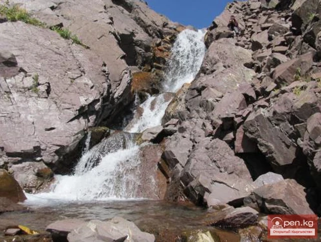
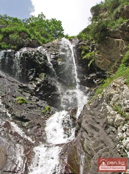
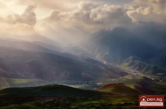
In this gorge, there is a great variety of rocks. Red (iron-rich) clays, almost black shales, greenish (copper-rich) rocks, etc.

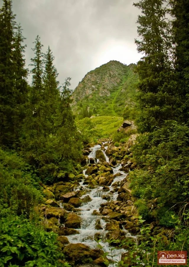
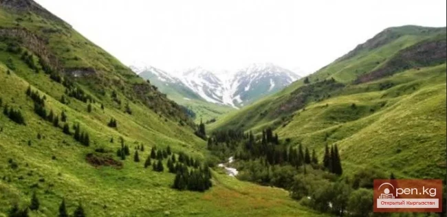
Another striking feature of the Kara-Balta Gorge is the height difference between the road and the peaks that almost loom over it. From above, this is not as noticeable, but in the lower part, the difference is colossal. Closer to the pass, the mountains become smoother.

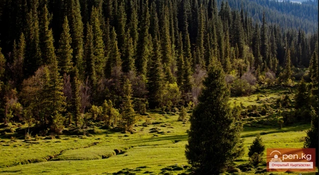
The characteristic landscapes of the gorge are forested and meadow-steppe at altitudes of 1900-2700 m. Juniper, mountain ash, birch, willow, barberry, and others grow here. The upper part, alpine meadows (3200-3600 m), is used as pastures.