Kara-Balta
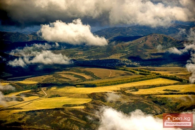
Kara-Balta, which translates as "Black Axe," is one of the youngest cities in the Kyrgyz Republic, comfortably located at the foot of the northern slope of Ala-Too, in the center of the western part of the Chui Valley, 62 km from the capital of the Kyrgyz Republic - the city of Bishkek, at an altitude of 700-750 meters above sea level, on the left bank of the Kara-Balta River in the Chu River basin.
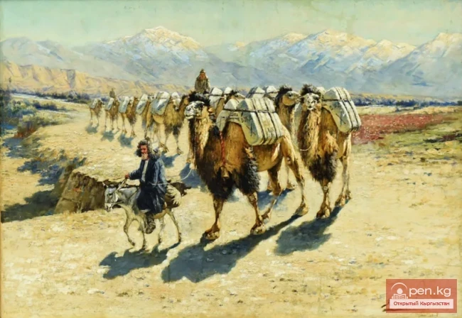
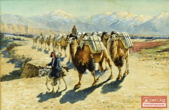
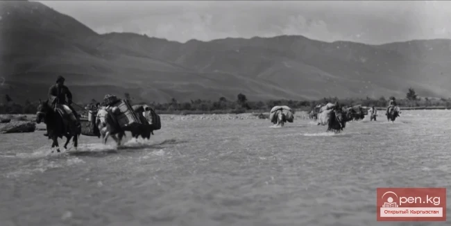
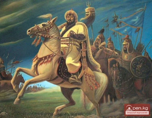
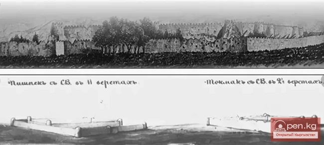
In the 6th-7th centuries, the city was known as Nuzket and was an important trading center on the Great Silk Road. Agricultural settlements began to emerge in the Chui Valley as early as the 5th-8th centuries. After the invasion of Genghis Khan, nomadic tribes and herders lived here from the 14th to the 19th centuries. After the region was subordinated to the Kokand Khanate in the early 19th century, a fortification was built in the Chui Valley. In 1874, the Russian resettlement village of Kara-Balta was established. In the early 20th century, artels and craftsmen's workshops operated here, and trade was active. Over time, the city was also known as Kalininskoye and Mikoyan's name.
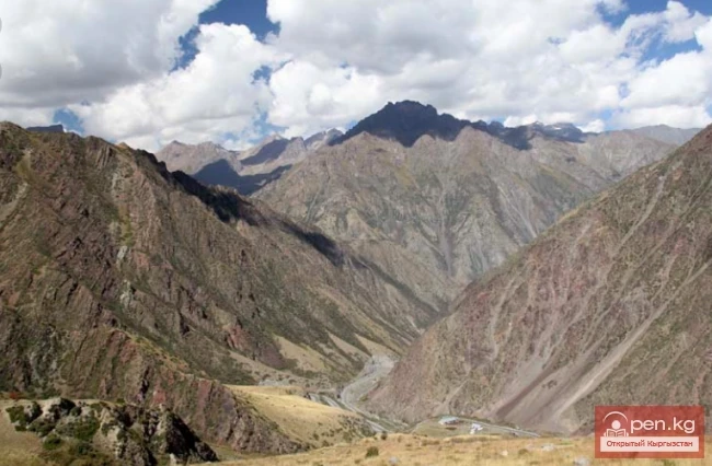
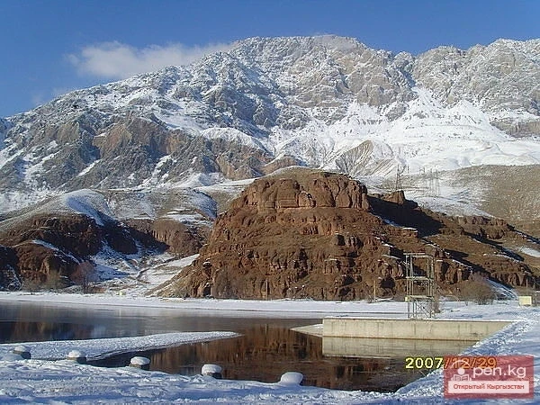
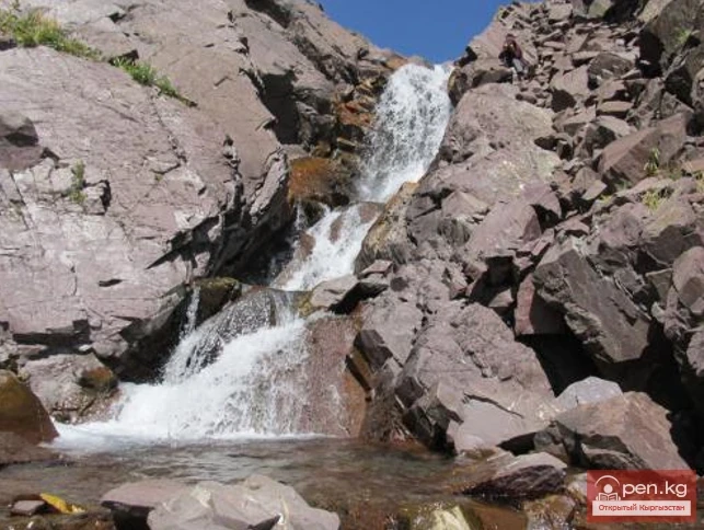
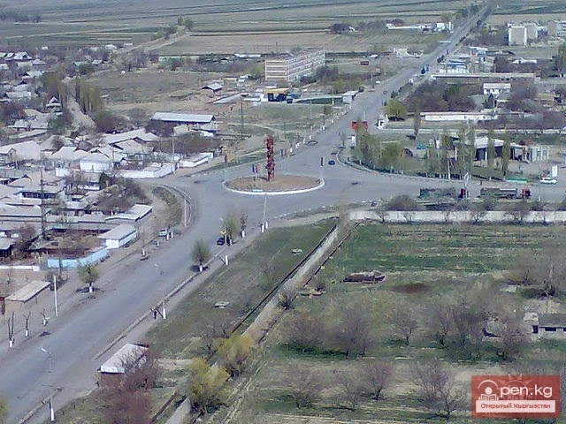
Kara-Balta is one of the largest transport hubs in the Chui region: it is crossed from west to east by the railway line Tashkent-Taraz-Bishkek-Balykchy and the highway Tashkent-Bishkek-Almaty, which have interstate significance. The Bishkek-Osh and Kara-Balta-Suusamyr-Minkush roads, which run along the right bank of the Kara-Balta River, are of great importance for the socio-economic development of the area. The city's hydrographic network is represented by the Kara-Balta River, which borders the city from the east for 7 kilometers and originates in the glaciers of the mountains at the confluence of the mountain streams Ablak, Kol, and Tuyuk. The total length of the river is 133 km, its basin area is 577 km², with an average water flow of 5.25 m³/sec, fed by snow and glaciers. In the area of the city, the bed of the Kara-Balta River is dry, as a watershed with drainage irrigation canals has been arranged at the upper zone where the river exits the mountain gorge, one of which runs through the city. The riverbed and floodplain are used for quarrying.
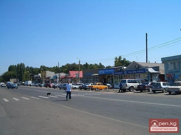
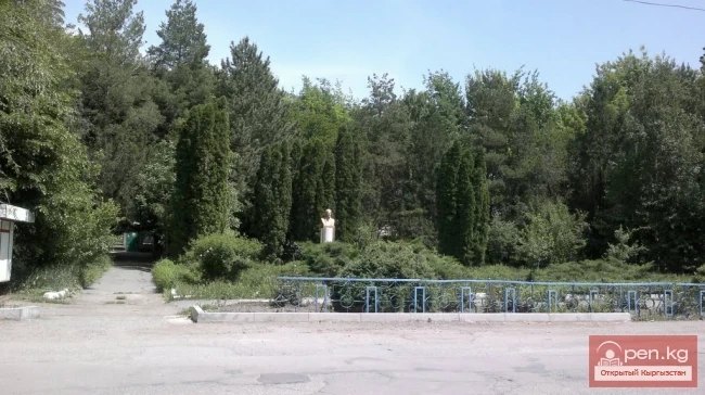
The city is immersed in greenery: majestic pines line the main street of the city – Turar Kozhomberdiev Street, two perennial parks, and forest plantations along all the highways. On the eve of the 30th anniversary of their city, the residents of Kara-Balta planted over 30,000 fruit and decorative trees.
Read also:
Territory and Management of Kara-Balta
Administration and Territory of the City GEOGRAPHICAL LOCATION Kara-Balta is one of the youngest...
Kara-Balta 1970-1990 Years
Photos of the city of Kara-Balta, Kyrgyzstan in the years 1970-1990 of the USSR...
Nuzket - The Center of Culture on the Great Silk Road in the 6th-7th Centuries
Nuzket (Kara-Balta) Various surviving Arab and Chinese sources indicate that along the Great Silk...
Kara-Balta Gorge
Kara-Balta Gorge is located on the northern slope of the Kyrgyz Ala-Too. The Kara-Balta Gorge...
In the city of Kara-Balta, a beauty queen was chosen.
A beauty contest "Miss Kara-Balta - 2019" took place in the city of Kara-Balta. On June...
Gennady Petrovich Kudryavtsev
Kudryavtsev Gennady Petrovich Born in 1938. Graduated from Tashkent Polytechnic Institute with a...
Marlen Aibekov appointed head of the city hall of Kara-Balta
Marlen Aibekovich Aibekov now heads the apparatus of the city hall of Kara-Balta. According to...
Kara-Balta and Its Predecessor
Historical Roots of the City Let us return to those deep historical roots that connect our...
Electric Power Industry of the City of Kara-Balta
Jaiyl Electric Network The first power station in our city was a diesel one, which appeared in...
"Karabalta Bread Factory JSC", "Karabalta-Sit LLC" and "Dos-Alko LLC"
JSC "Kara-Balta Bread Factory" The production of bread in the settlement of Kara-Balta...
Attractions of the City of Osh
Osh - one of the oldest cities in Central Asia, located on the southeastern edge of the Fergana...
The title translates to "The Village of Kara-Balta."
The Formation of the Settlement as a Future City The Kokand fortresses were built throughout the...
Bishkek - the capital of Kyrgyzstan
Bishkek - the capital of Kyrgyzstan. In the center of the Chui Valley, at the northern foothills...
Kara-Kyrgyz and Balasagun
Balasagun One of the capitals of the Karakhanid state was the city of Balasagun, located in the...
Joint Kyrgyz-Chinese Enterprise SKK LLC "Kitlap"
The joint Kyrgyz-Chinese enterprise was established in 1991. The Chinese side - the Li-Fa Bakery...
Kant
The city of Kant is a city of district subordination. In Kyrgyz, "kant" means sugar; the...
Routes of Auto Tourism by Regions of the Republic
The longest and most extensive routes covering various regions of the republic are as follows:...
The title translates to "State Enterprise 'Buuaday Kara-Balta'."
For 40 years, starting from 1929, it was a small enterprise called "Zagotzerno" with...
Kara-Tor Waterfall
Kara-Tor Lower Waterfall In the Naryn region of the Kochkor district, in the upper reaches of the...
The title translates to "The Village of Kara-Kuldja."
Kara-Kulja Village is the center of the eponymous district Karakulja (archaic: Kara-Kulja; at the...
Historical and Architectural Complex of Uzgen
The city of Uzgen was founded in the 8th-9th centuries on a steep terrace of the Kara-Darya River....
City of Uzgen
This ancient city of Kyrgyzstan was founded by the Turks in the 8th-9th centuries in the center of...
Orography of the Chui Valley
The Chui Valley is located on the northern edge of the Kyrgyz Republic. The Kyrgyz part of the...
The Second Birth of the City of Kara-Balta
Status of the City In 1972, a powerful grain processing plant with a storage capacity of 56...
The Industry of Kara-Balta
Industry Kara-Balta is an economically developed city. There are 23 profitable enterprises in the...
Photo - A City with an Interesting "Highlight" in the Mountains of Kyrgyzstan
This year, Naryn is celebrating its 156th birthday. The correspondent of Turmush discovered...
Chuy Region
The Chuy Region was established on December 14, 1990. Until 1939, various...
Sharp Decline in Production and Enterprises in Kara-Balta
Life of the City What is the city living on today? We painfully note that the sharp decline in...
Mambetov Bolotbek Toktomatovich
Mambetov Bolotbek Toktomatovich Graph. Born on January 11, 1963, in the village of Telman,...
Osh - "Southern Capital" of Kyrgyzstan
Osh - "The Southern Capital" of Kyrgyzstan. The city of Osh is the administrative center...
Kara-Kul
Kara-Kul is a city in the Jalal-Abad region of Kyrgyzstan. According to the 2009 census of...
Life in the Regions: 47 Years as a Teacher and No Change — Natalia Solonitsyna from Kara-Balta Shared the Secret of Youth
Natalia Solonitsyna from the city of Kara-Balta has been working as a teacher for 47 years. In a...
In Bishkek, Kant, and Kara-Balta, the exhibition of Russian universities "Education in Russia 2026/27" will take place.
From October 29 to 31, 2025, an exhibition of Russian universities titled "Education in Russia...
Tash-Kumyr
The first settlements in the current location of the city of Tashkumyr appeared during the...
"Progenitor" of the Kyrgyz Ethnicity of the 12th Century
Ibrahim ibn Ahmed and Anal-Hakk Thus, the "progenitor" of the Kyrgyz ethnicity of the...
Kyzyl-Kiya
Kyzyl-Kiya is a city of regional subordination in the Batken region of Kyrgyzstan. Population...
The City of Kainды
From the settlement Molotovsky - to the city of Kainды The city of Kainды is located not far from...
Sulyukta
Sulyukta is a city of regional subordination in the Batken region of Kyrgyzstan. Population (2009)...
The Printing Industry in the City of Kara-Balta
Printing House of JSC "KGRK" Founded in 1960, it served only the subdivisions of the...
Maralov Aspandiyar Nesipchoroevich
Maralov Aspandiyar Nesipchoroievich (1938), Doctor of Medical Sciences (1981) Kazakh. Born in the...
Kokand Fortress of Pishpek
PREHISTORY OF THE CAPITAL OF KYRGYZSTAN For those who currently live in this beautiful city,...
City of Shopokov
The city of Shopokov is located at the northern slope of the Kyrgyz Range at an altitude of 740...
The Territory of the Kyrgyz from Ancient Times to the 6th Century
The Saka tribes were divided into three parts. In the southern regions of Kyrgyzstan lived the...
Kara-Archa Waterfall
Kara-Archa Waterfall - left tributary of Kegety (Chui region) Coordinates: 42.504977, 75.069273...
River Karakulja
Karakulja The Chatkal River in its upper reaches is called Karakulja (translated - Black Ram),...
Northern Kyrgyzstan
Do you remember the business people from O. Henry's stories? No, not the adventurous plot...
Food and Processing Industry of Kara-Balta
JSC "Bakay", LLC "Bakay-Suu", State Enterprise "Kara-Balta...