The City of Kainды

admin Chuy Region / Cities
VK X OK WhatsApp Telegram
City of Kainды

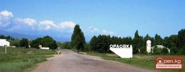
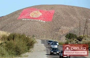
From the settlement Molotovsky - to the city of Kainды


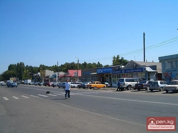
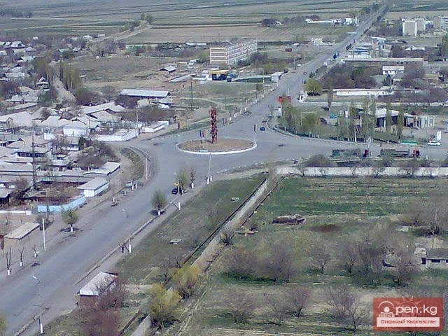
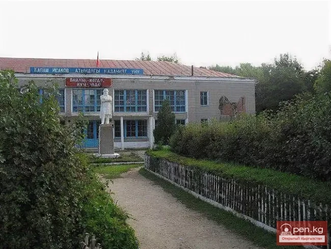
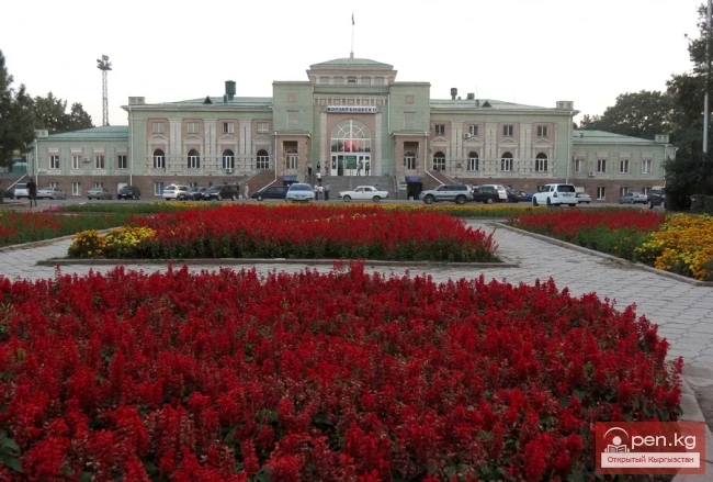
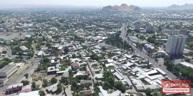
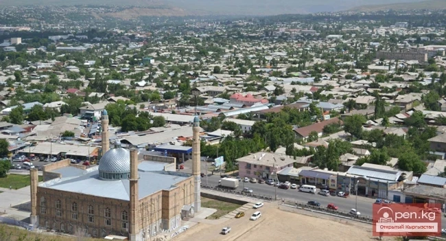
The city of Kainды is located not far from the international highway connecting Almaty with Termez. It is 77 kilometers away from Bishkek. It was granted city status in 2012. Previously, it was called Molotovsky, during the time when it was a small settlement similar to those in the region. Within the city, there is a railway station serving passengers on the Bishkek – Chaldovar line.

The length of Kainды from south to north is 6.6 kilometers, and from west to east — 5.1 km.

Population: 8.7 thousand (2017)

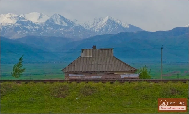
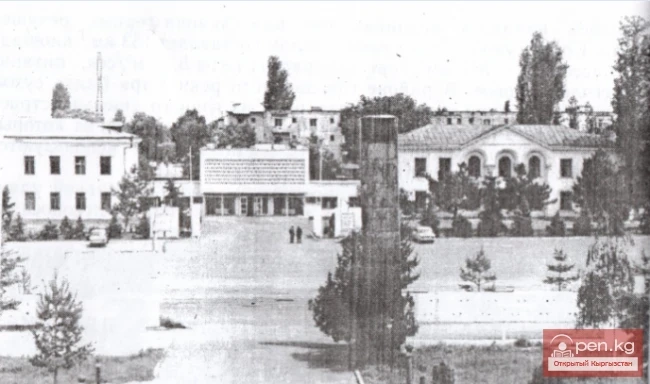
Now, as the center of the Panfilov district, it continues to develop and improve in a new direction. The settlement was founded in 1917 during the construction of TurkSib. The first housing for workers consisted of tents, and later long wooden barracks divided into large rooms appeared. The small village was decided to be built by the Chon-Kainды River, which at that time was the only source of water supply.

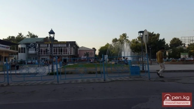
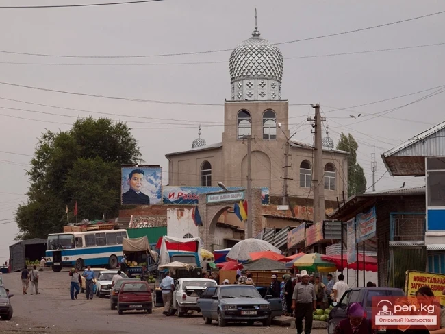
Its advantageous location near the railway line allowed the small settlement to prosper during the Soviet era. During that time, large industrial enterprises were built here, including cable manufacturing, construction materials, and bread production. Several trading establishments and social facilities, including schools and kindergartens, were also built and opened.

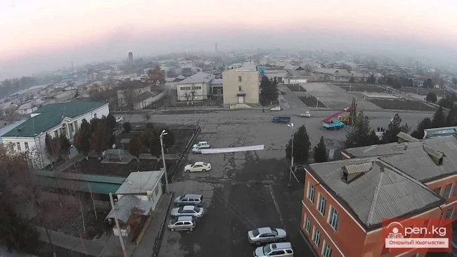
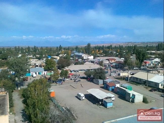
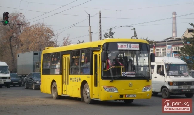
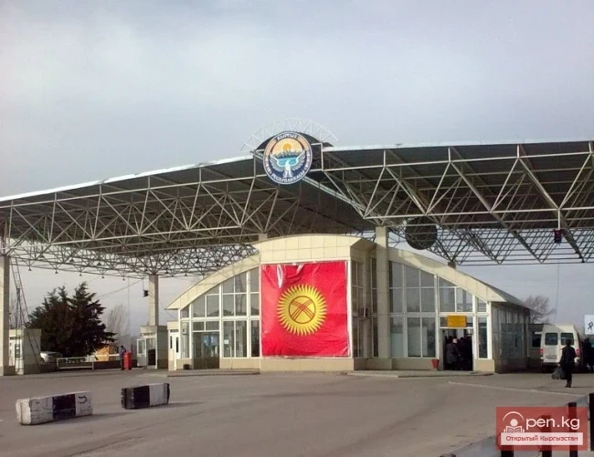
The city is connected to the surrounding settlements by roads used for passenger and freight transportation. It is linked by railway to the regions of the republic and foreign countries. By 1998, private construction in the city consisted of 4,366 households located on private plots. Many residents raised livestock and poultry in their backyards to provide their families with essential food products. At the same time, surplus meat and dairy products were sold at local markets.

Agricultural lands adjacent to the city grow, in particular, melons and potatoes. Part of the surrounding lands was allocated for garden cooperatives for workers during the Soviet period. In order to develop the city in stages, a social program was developed in the early 2000s.

Main enterprises: Sugar factory OJSC "Kainды-Kant", JSC "Kainды Cable Plant".
VK X OK WhatsApp Telegram

Read also:

The City of Orlovka

The City of Orlovka

Orlovka — a city in the Kemin District of the Kyrgyz Republic. The status of a city was granted to...

Kemin

Kemin

Kemin is a city in Kyrgyzstan. It is the administrative center of the Kemin District in the Chuy...

Tash-Kumyr

Tash-Kumyr

The first settlements in the current location of the city of Tashkumyr appeared during the...

Kant

Kant

The city of Kant is a city of district subordination. In Kyrgyz, "kant" means sugar; the...

Kara-Balta

Kara-Balta

Kara-Balta, which translates as "Black Axe," is one of the youngest cities in the Kyrgyz...

City of Nookat

City of Nookat

The city of Nookat is located in Kyrgyzstan and is the center of the eponymous district of the Osh...

City of Shopokov

City of Shopokov

The city of Shopokov is located at the northern slope of the Kyrgyz Range at an altitude of 740...

City of Kara-Suu

City of Kara-Suu

The city of Kara-Suu serves as the administrative center of the district of the same name. It was...

Kainyndy Glacier

Kainyndy Glacier

Kainy Between Kokshaal-Tau and Kainy-Katta lies the powerful Kuyakap Glacier, and between...

Kyzyl-Kiya

Kyzyl-Kiya

Kyzyl-Kiya is a city of regional subordination in the Batken region of Kyrgyzstan. Population...

Naryn

Naryn

This area includes the city of Naryn — a transport and distribution tourist center — and its...

Toktogul

Toktogul

The urban-type settlement Toktogul is located in the Toktogul district of the Jalal-Abad region of...

City of Kerben

City of Kerben

The city of Kerben is located in the center of the Aksy district, at an altitude of 1200 meters...

The Ridge of Inylchektau

The Ridge of Inylchektau

Inylchektau A mountain range in the Central Tien Shan in Kyrgyzstan. It is located in the basin of...

Batken

Batken

Batken is a city in Kyrgyzstan, the administrative center of Batken Region and District. The...

City of Aydarken

City of Aydarken

Aydarken – a small town and industrial center in the central part of the Batken region. The...

City of Balykchy

City of Balykchy

On the western shore of Lake Issyk-Kul, at the junction of the roads Bishkek — Naryn and Bishkek —...

Zone "Talas"

Zone "Talas"

The "Talas" zone is located in the central part of the Talas River valley and includes...

City of Kadamjay

City of Kadamjay

Kadamjay - "Holy Place". The emergence of the city of Kadamjay is linked to the...

The Village of Sokuluk

The Village of Sokuluk

Sokuluk – a large rural settlement It is the administrative center of the Sokuluk District. This...

Ski Resort "Polytech"

Ski Resort "Polytech"

The ski base "Politekh" is located near the city of Bishkek in the Alamudun district. The...

City of Isfahan

City of Isfahan

Isfana— a small town located on the outskirts of the western part of the Batken region in southern...

Write a comment: