Kyzyl-Suu - "Red Water"
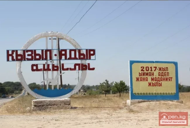
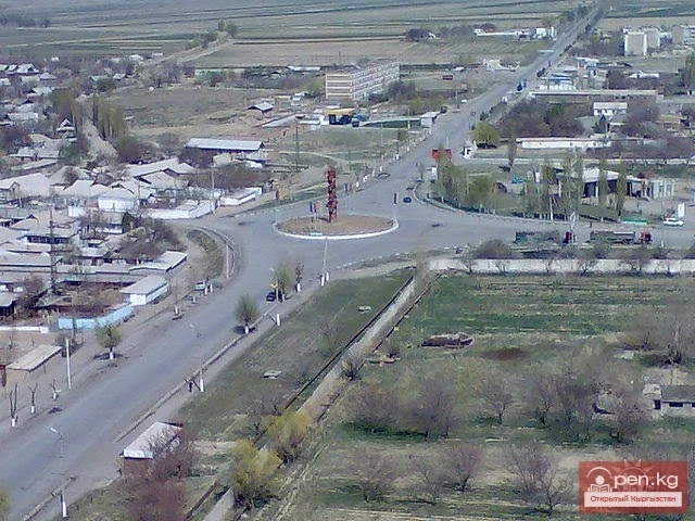
The village of Kyzyl-Suu is located in the territory of the Jeti-Oguz district and serves as its administrative center. In the past, the settlement was called Pokrovka and was founded by Russian settlers. A regional highway runs through its territory. Geographically, it occupies an area situated between the Jeti-Oguz resort and a mountain gorge. The distance from its outskirts to the shores of Lake Issyk-Kul is no more than 10 kilometers.

It is believed that the name of the village originated from the river that crosses its territory. The banks of this waterway are covered with red clay, which colors the water during heavy rains when the river overflows its banks. For this reason, it was named Kyzyl-Suu, which translates to "Red Water." One of the mountain rivers flows down from the northern slope of the Terskey Alatoo range. The river originates from several glaciers in the ridge zone, and its mouth is located in the Pokrovsky Bay of Lake Issyk-Kul. Water diversion for irrigation begins near the village of Chon-Kyzyl-Su, and during certain periods of the year, it does not reach the lake.

According to scientists based on their archaeological research, there was an ancient settlement of Saka – farmers and craftsmen in the area of the village. Their way of life, customs, and culture were very similar to those of the Scythians. They led a sedentary-nomadic lifestyle, raised livestock, and cultivated the land. They also bred camels, which they used as pack animals.

Disparate Saka tribes united into tribal alliances led by supreme leaders known as kings between the 7th and 3rd centuries BC. The inhabitants of the ancient Saka settlement were divided into three groups – commoners, warriors, and priests. Each of them was associated with a specific traditional color that determined the population's affiliation. Within the modern Kyzyl-Suu, there was a capital city of the Red Valley – Kyzyl Angar in the 2nd century BC.
Around 160 BC, the capital of the Usuns, Chigu — Chigucheng (Kyzyl Angar, the city of the Red Valley) was located here.
From 1881 to 1893, it was called the village "Slivkino."
From 1895 to 1919, the village was named "Pokrovskoye," "Novo-Pokrovskoye," or "Slivkina" on the Kyzyl-Su River.
In the Kyrgyz SSR, the settlement was called Pokrovka.

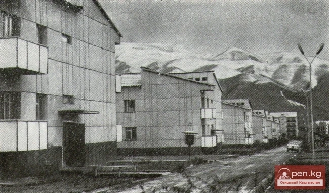
The modern village traditionally engages in agriculture and animal husbandry. There is a Public Service Center in the village. The institution is equipped with modern information technologies. The building and the adjacent area have been renovated, and a parking lot has been improved.

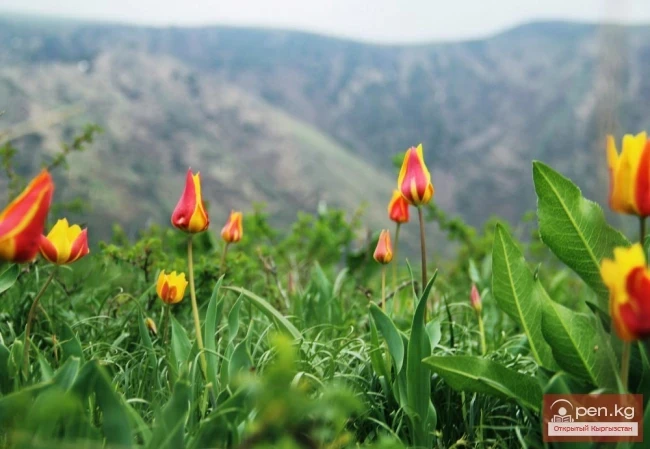
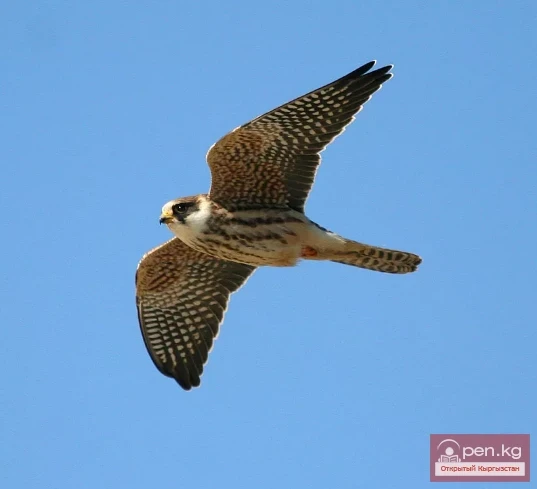
The outskirts of Kyzyl-Suu are bordered by cultivated fields where wheat, barley, clover, and exportceta grow. Beyond them lies a steppe covered with wormwood, sea buckthorn, and low shrub vegetation. Up the gorge, there is a dense forest abundant with mushrooms and berries – barberry, strawberries, and rose hips. The wildlife includes wild boars, marmots, roe deer, snow leopards, griffons, and argali.

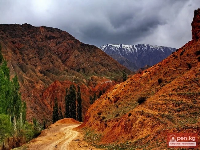
Near the village of Kyzyl-Suu is the Chon Kyzyl-Suu gorge. In Kyrgyz, Chon Kyzyl-Suu translates to "big red water." The gorge got its name due to the water at the river's lower reaches, which smoothly changes from turquoise to red because of the soil color. The gorge includes the coastline in the area of Kara-Bugun, Chon Kyzyl-Suu, and Kichik Kyzyl-Suu.