The Village of Kanysh-Kyya

admin Villages
VK X OK WhatsApp Telegram
Village Kanysh-Kiya

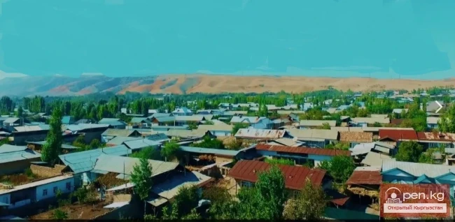
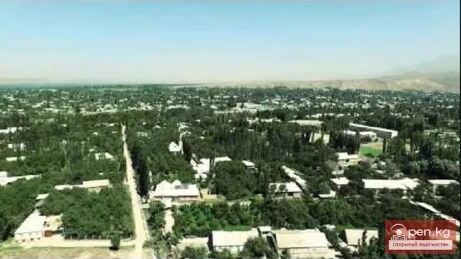
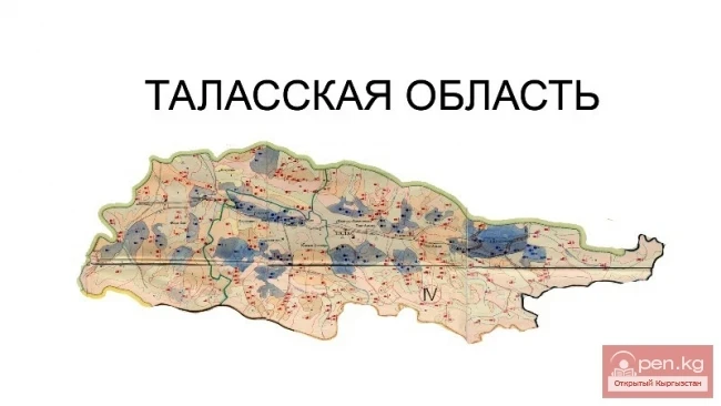
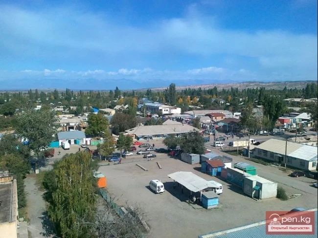
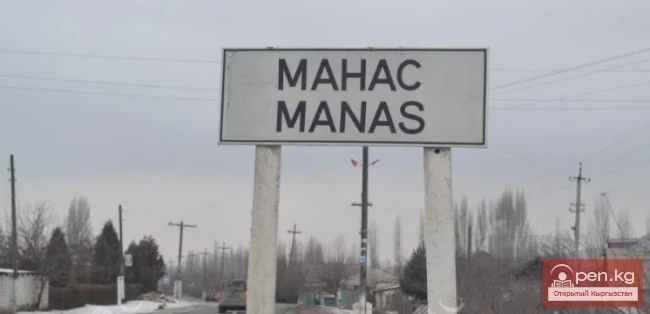
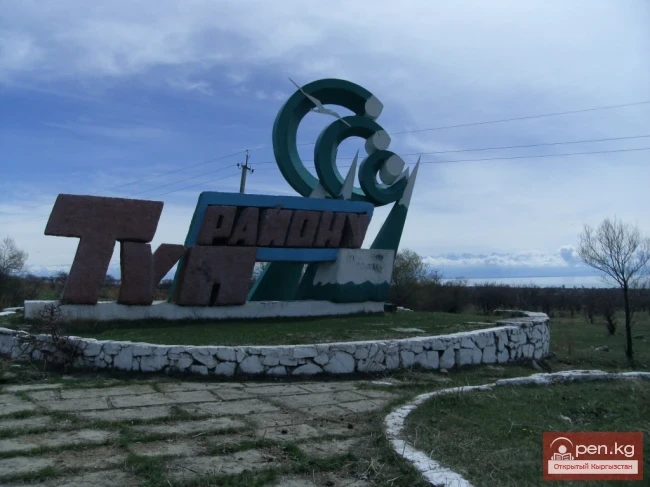
The village of Kanysh-Kiya is the center of the Chatkal district.


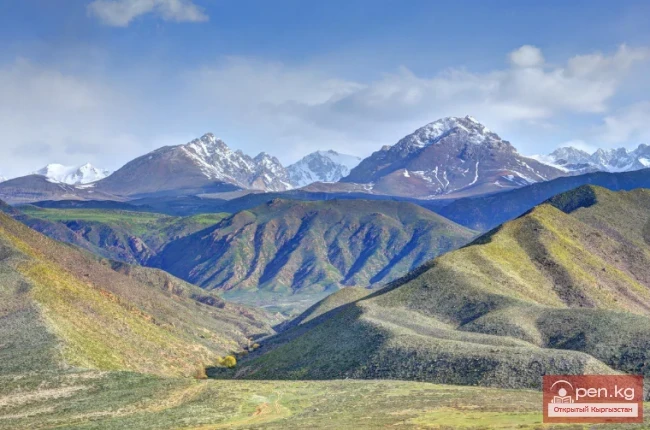
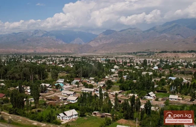
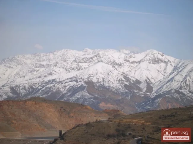
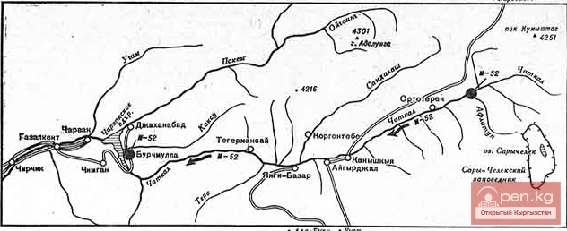
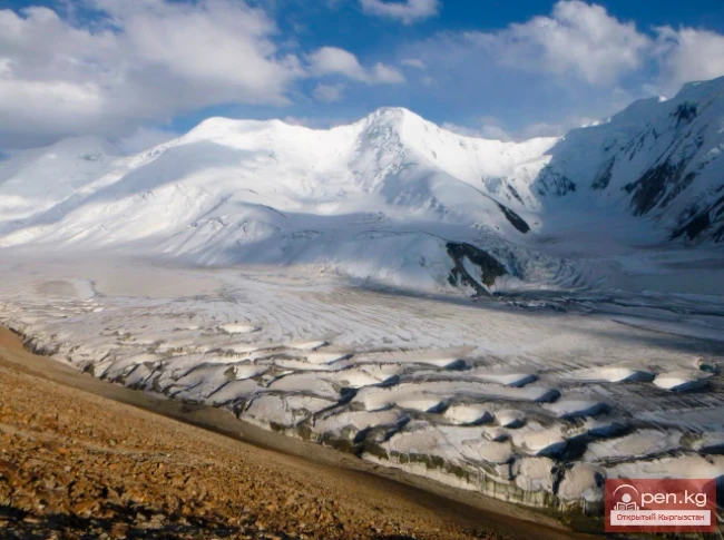
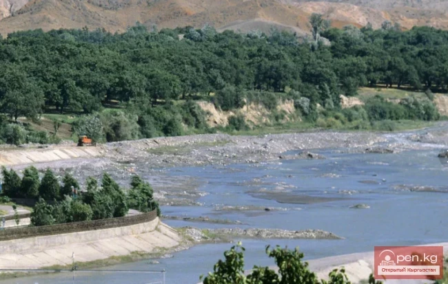
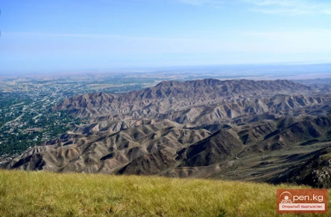
The settlement is located in a remote and hard-to-reach region on the Chatkal River. The northern bank of the river is bordered by the slopes of the Chandalash Ridge, while the southern bank is bordered by the Chatkal Ridge, and Kanysh-Kiya lies in the Chatkal Valley, stretching for several kilometers along the river. The district shares its borders with the Talas region of Kyrgyzstan and the Tashkent region of Uzbekistan. An automobile road runs through here, leading from the Fergana Valley to the Talas region. However, due to harsh weather conditions, it periodically (mainly in winter) becomes non-operational, exacerbated by heavy snowfall.
Village Kanysh-Kiya

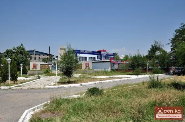
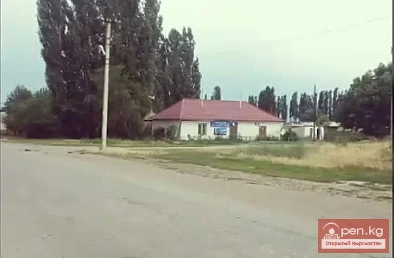
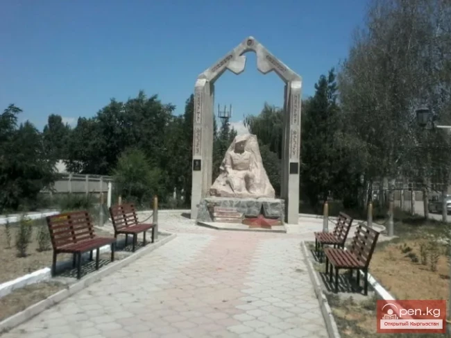
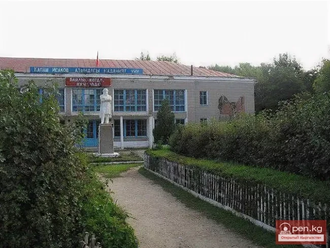
In the village, there are institutions such as a school, a kindergarten, a district library, shops, pharmacies, and others. There are also companies in Kanysh-Kiya providing real estate and financial services. Additionally, there are firms that assist local residents with employment. A small auto repair enterprise operates under the Main State Technical Inspection of the Jalal-Abad region. The yellow pages of Kanysh-Kiya are published here, where one can find all addresses and phone numbers of Kanysh-Kiya if needed.
Village Kanysh-Kiya

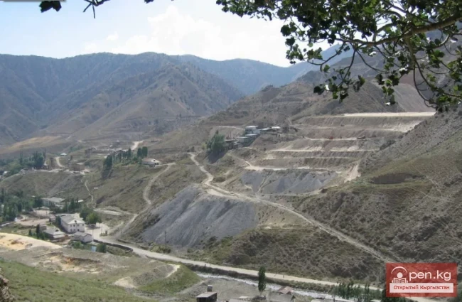
Kanysh-Kiya is an agrarian settlement. The local population has long cultivated terraces above the Chatkal River and grazes livestock. In 1934, the village became the district center. Nearby Kanysh-Kiya are areas that belong to the Besh-Aral State Reserve. Here, there is a rich plant and animal world, and several ecosystems are counted. In fact, the village is located in the heart of the region, where human impact on nature is minimal. Therefore, the potential of Kanysh-Kiya as a center for green and ethno-tourism is quite high.
Village Kanysh-Kiya
There are 24 registered gold mining and geological exploration companies in the district, but only six of them are actually operational. "Thanks to these enterprises, the district has repaired the territorial hospital, reconstructed the bridge, carried out major repairs in the kindergarten and schools, built two sports halls, provided lighting in the villages, and asphalted 7 kilometers of road.
Village Kanysh-Kiya
VK X OK WhatsApp Telegram

Read also:

The Village of Chaek

The Village of Chaek

Chayek – Agricultural Settlement The village of Chayek is the center of the Jumgal district in the...

The Village of Sokuluk

The Village of Sokuluk

Sokuluk – a large rural settlement It is the administrative center of the Sokuluk District. This...

Zone "Isfayram-Sai"

Zone "Isfayram-Sai"

Zone "Isfayram-Sai". The left tributary of the Isfayram-Sai River is the Surme-Tash...

The Village of Massy

The Village of Massy

Massy – a village, the center of the Nooken district. It is located 60 kilometers northwest of the...

The Village of Suzak

The Village of Suzak

The village and district center of Suzak is located at the foot of a low mountain range on the...

The Village of Gulcha

The Village of Gulcha

Gulcha – a village, the administrative center of the Aksy District. This is a comfortable,...

Talas Region

Talas Region

The Talas Region is located in the northwestern part of the Kyrgyz Republic. It was established on...

River Karakulja

River Karakulja

Karakulja The Chatkal River in its upper reaches is called Karakulja (translated - Black Ram),...

Batken Region

Batken Region

The Batken Region was established on October 12, 1999, from the Osh Region. It includes the...

Suusamyr Valley

Suusamyr Valley

The length of the valley is 155 km. It is bordered on the north by the Kyrgyz Ala-Too, on the...

Chuy Region

Chuy Region

The Chuy Region was established on December 14, 1990. Until 1939, various...

The Village of Kazarman

The Village of Kazarman

KazarMan – a village in central Kyrgyzstan, the administrative center of the Toguz-Toro district....

Kara-Suu

Kara-Suu

The "Kara-Suu" Zone is located in the eastern part of the southern slope of the Chatkal...

Papańskoe Reservoir

Papańskoe Reservoir

Reservoir in the Valley of the Ak-Bura River The location of the Papan irrigation reservoir basin...

River Ak-Suu

River Ak-Suu

The main channel of the Ak-Suu River is at least 20-22 kilometers long. The lower part of the...

The Village of Tyup

The Village of Tyup

Tyup – a village and the center of the eponymous district in the Issyk-Kul region. It is located...

Koksu Ridge

Koksu Ridge

Koksu Ridge Located in the Western Tien Shan, on the border of Kyrgyzstan and Uzbekistan. Its...

Kainyndy Glacier

Kainyndy Glacier

Kainy Between Kokshaal-Tau and Kainy-Katta lies the powerful Kuyakap Glacier, and between...

Chatkal River

Chatkal River

Chatkal - a mountain river in Kyrgyzstan and Uzbekistan, Before the formation of the Charvak...

Mushketov Glacier

Mushketov Glacier

Mushketov Glacier A valley tree-like glacier in the Central Tien Shan in Kyrgyzstan (Issyk-Kul...

The River Aflatun

The River Aflatun

Aflatun River – the largest right tributary of the Kara-Suu River in the Jalal-Abad region. The...

Isfara River

Isfara River

Isfará — a river of the Syr Darya basin The river basin encompasses the Isfara and Kanibadam...

Fergana Valley

Fergana Valley

The Fergana Valley is popularly known as the "pearl" due to its rich oasis. The Fergana...

Kara-Balta

Kara-Balta

Kara-Balta, which translates as "Black Axe," is one of the youngest cities in the Kyrgyz...

Naryn Region

Naryn Region

The Naryn Region is located in the southeast of Kyrgyzstan and was first established on November...

Write a comment: