The village and district center of Suzak is located at the foot of a low mountain range on the Kök-Art River.
It lies in the eastern part of the Fergana Valley, 7 kilometers from the Uzbek border. Nearby, to the northeast, is the regional center – Jalal-Abad. The two settlements are separated by just 2 kilometers and the national highway M41, which runs from Bishkek to Osh. As in most settlements near the border with Uzbekistan, Uzbeks make up the majority here, accounting for over 90% of the population in Suzak.
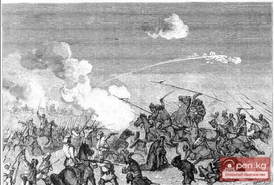
Suzak is first mentioned in connection with the uprising of 1873, which was directed against the ruler of the Kokand Khanate, Khudoyar Khan. At that time, the present-day village was a small kishlak. Despite the brutal suppression of the uprising by Kokand troops, the rebels managed to capture Suzak, Uch-Kurgan, Uzgen, Kasan, and Bulakbashi.

The kishlak of Suzak was also marked on the map of American diplomat Eugene Schuyler, "Map of the Bukhara, Khiva, and Kokand Khanates" from 1875, published in his two-volume work "Turkestan: Notes of a Journey to Russian Turkestan, Kokand, Bukhara, and Kulja," published in 1876 in the USA and the UK.
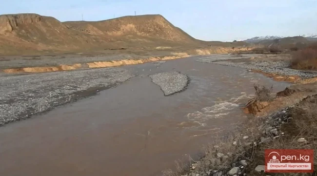
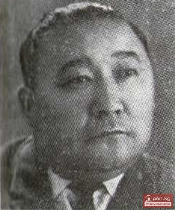
In 1940, Suzak became a district center. Today, it is an important economic center, benefiting from its geographical proximity to Jalal-Abad. Trade and small businesses are well-developed here, and the agricultural complex is based on the cultivation of grains, cotton, and vegetables. Several irrigation canals run through Suzak. The village is prone to natural disasters. For instance, in 1999, the swollen Kök-Art River, due to melting snow, caused flooding that destroyed about 1,000 houses in Suzak.