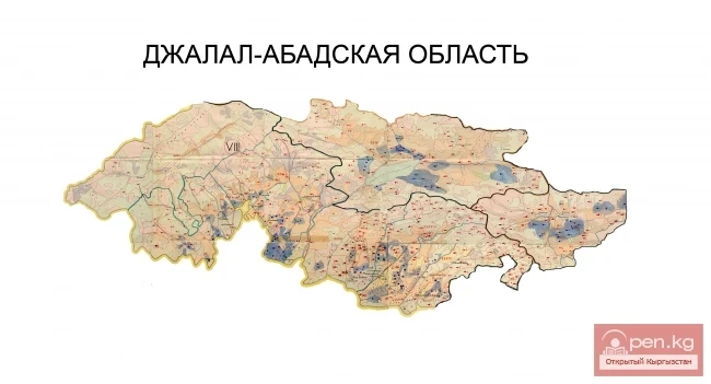
Kugart
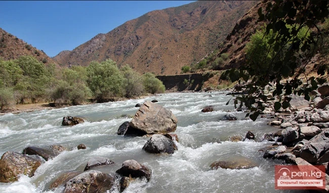
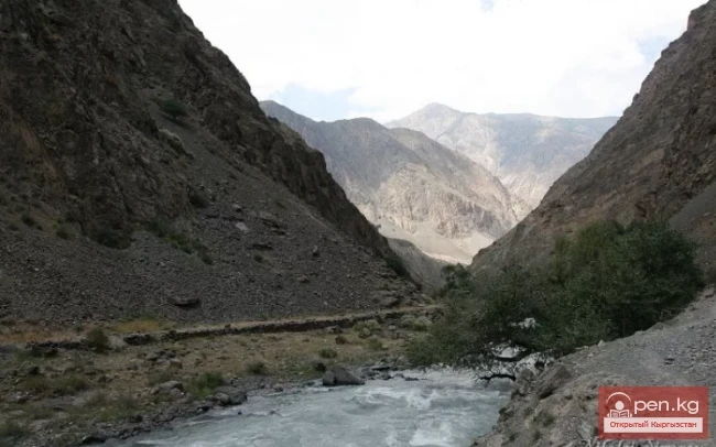
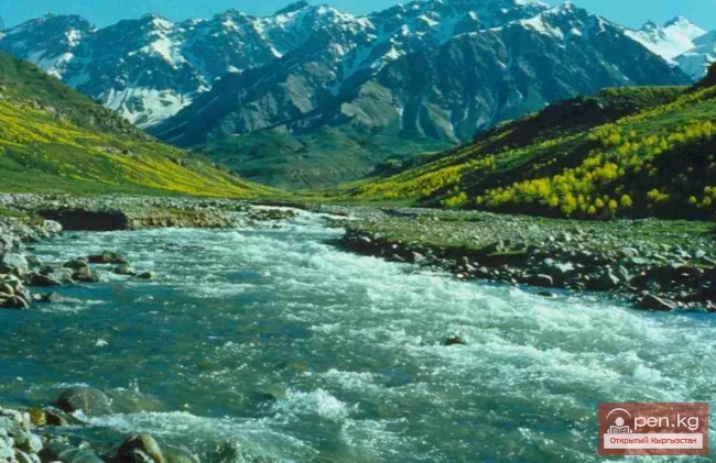
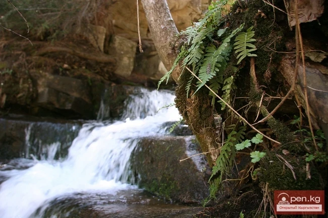
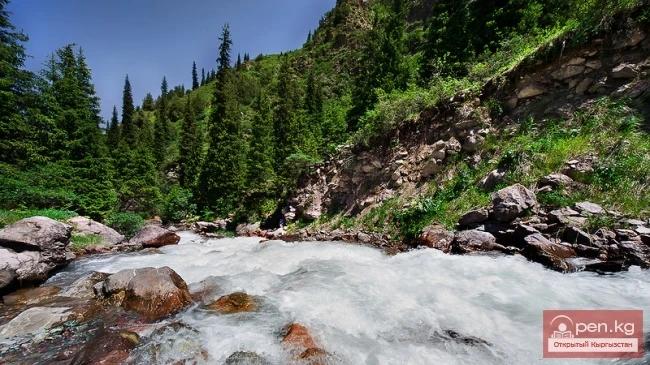
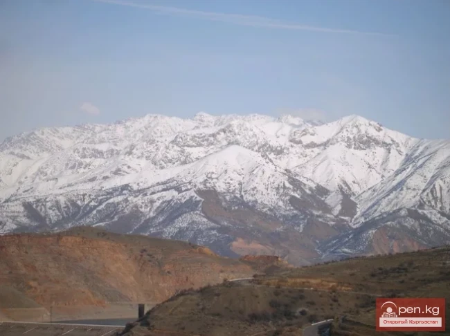
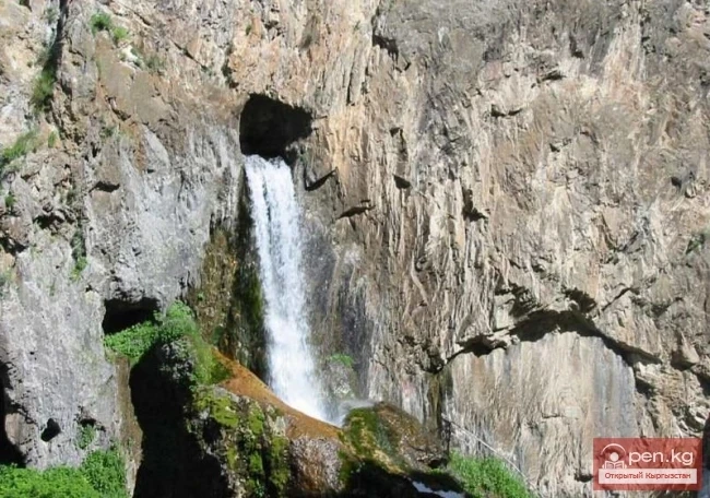
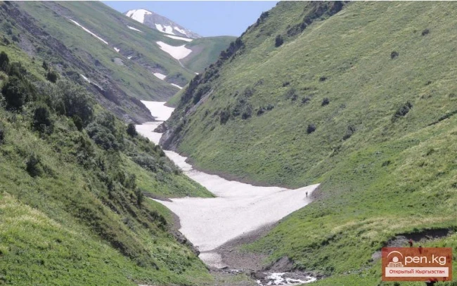
The Kugart River (Kek-Art), in the valley of the same name in southern Kyrgyzstan, is a right tributary of the Karadarja River, originating on the southwestern slopes of the Fergana Range. It flows through the city of Jalal-Abad. The river is fed by snow, has a wide gravel floodplain, and steep banks, and is characterized by significant variability in flow, increased sediment transport, and a debris flow nature.
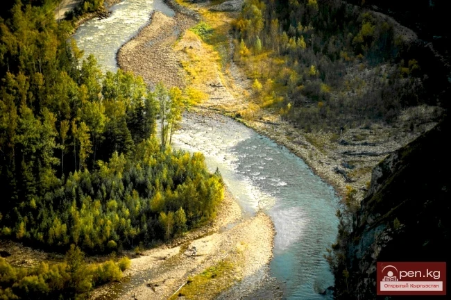
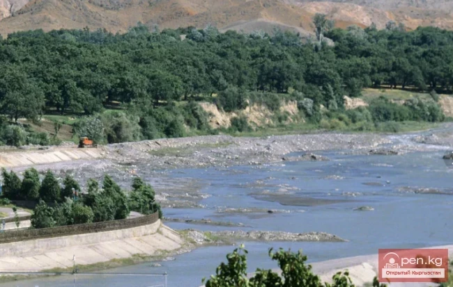
A feature of the Kugart River is that it practically does not carry its waters to the Karadarja River (except during floods), as they are fully diverted for irrigation in the densely populated Kugart Valley. In the upper sections of the river, there is a general erosion of the riverbed, while in the lower sections, there are blockages from sediment deposits, characterized by fine grain size.
The river section from the Blagoveshchensk Bridge to the mouth is generally regulated by protective dams with the upstream slope reinforced with rubble stone. These dams were built in the late 1960s and early 1970s mainly based on projects from regional organizations.
In the spring and early summer of 1998, floods occurred in the rivers and temporary watercourses in the Jalal-Abad and Osh regions of the Kyrgyz Republic, causing significant damage to settlements, water intake nodes, protective dams, and other facilities. The floods caused significant erosion and serious destruction of riverbanks, leading to the reformation of riverbeds, resulting in some settlements in the regions being flooded. On May 18-19, 1998, the Kugart River overflowed its banks in many places: in the village of Blagoveshchensk, the "Sputnik" microdistrict, the Serny Rudnik, and other areas. A catastrophic flow estimated at 0.5% of the reliability, equal to 350 m³/s, eroded the right unfinished protective dam on the Kugart River near the village of Suzak. More than 1,000 houses were flooded, a significant portion of which was destroyed.

After the tragedy of 1998, the first priority was the mechanical cleaning of the canalized riverbed in the area of the village of Suzak over a length of 4.5 km, with a volume of 216,000 m³, and the reconstruction of the right dam. According to preliminary calculations, the completed works were supposed to prevent catastrophic events in this section for the next 4-5 years.
However, in 1999, 2000, and 2003, the situation repeated itself. In 2003, during the maximum flood flow in the Kugart River, which occurred in April and was estimated by specialists to be around 300 m³/s, there was a threat of dam failure below the Suzak-Jalalabad bridge. The situation was complicated by the blockage of the regulated riverbed from sediment deposits and a reduction in its carrying capacity, which threatened the stability of the Jalal-Abad-Suzak bridge and led to an intense rise of the bottom of the canalized riverbed.
Thanks to timely measures and the mobilization of human and material resources for bank protection works, no damage to the dams on the Kugart River in the area of the village of Suzak occurred.
The rise of the riverbed due to sediment deposits led to the river becoming a source of groundwater recharge in the coastal zone, causing flooding of coastal lands and worsening the drainage situation on them. In 2004, catastrophic floods were not observed on the Kugart River, but the riverbed was once again filled with sediment deposits, and mechanical cleaning and removal of alluvial soil were again required to restore the carrying capacity of the riverbed behind the road bridge to reliably protect the village of Suzak from flooding. Thus, bank protection works and mechanical cleaning of the Kugart Riverbed, repeatedly performed without a comprehensive analysis of the factors of riverbed reformation, did not yield the desired results.