Isfará — a river of the Syr Darya basin
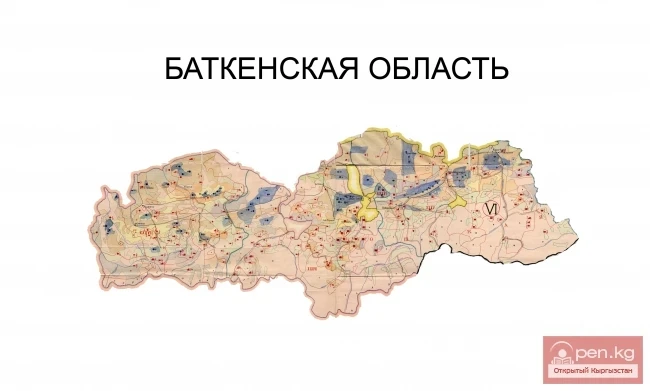
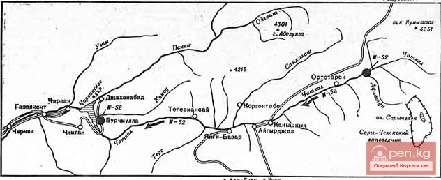
The river basin encompasses the Isfara and Kanibadam districts of the Sughd region of Tajikistan, the Batken district of the Batken region of Kyrgyzstan, and the Besharik district of the Fergana region of Uzbekistan.
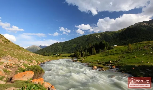
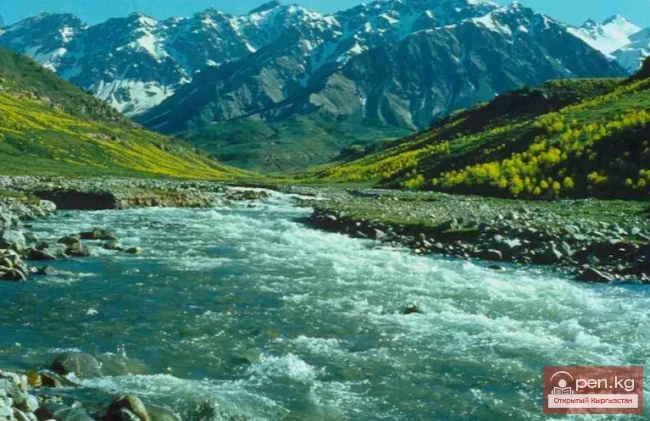
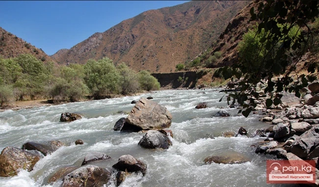
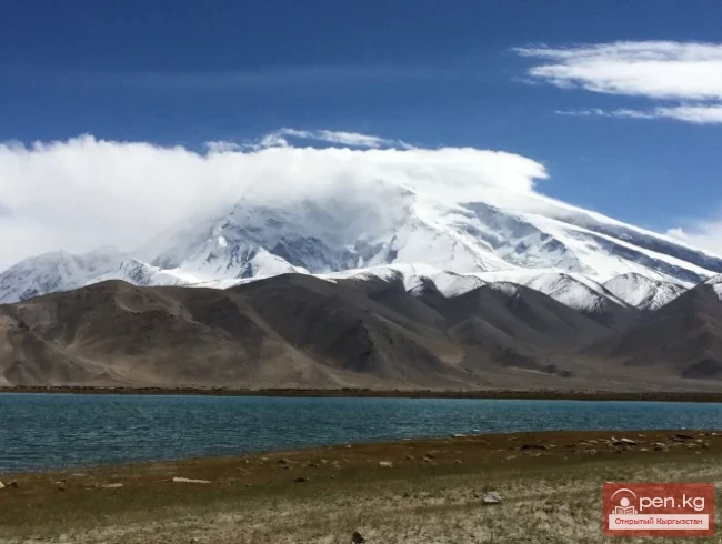
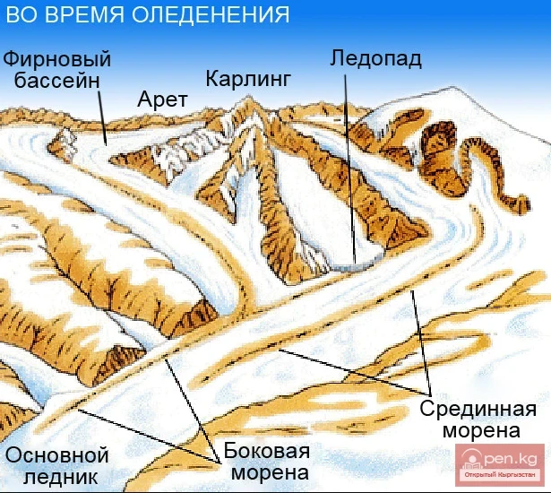
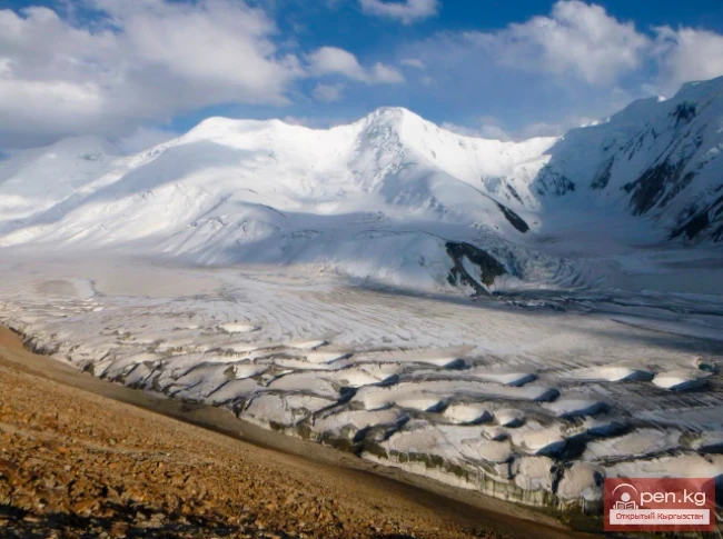
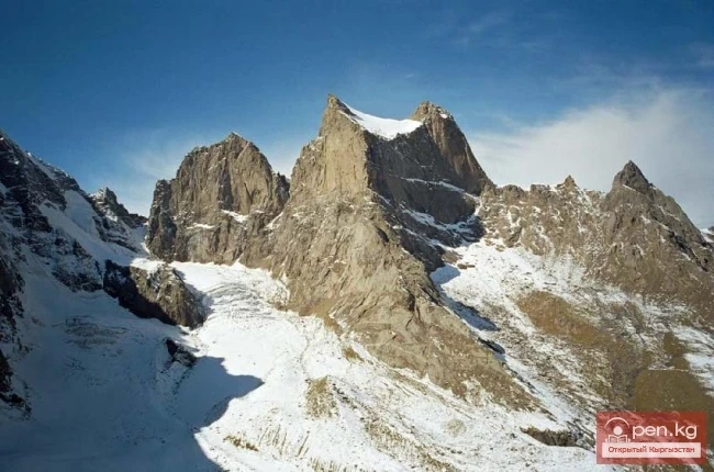
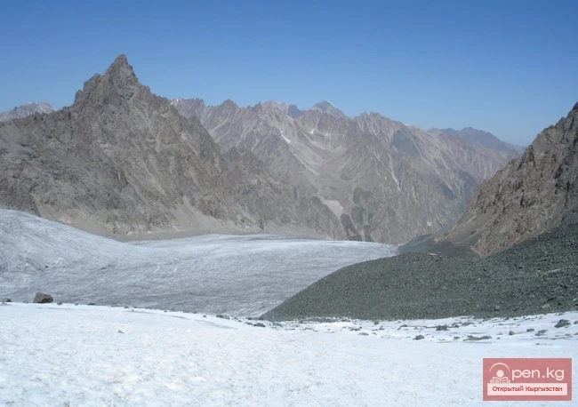
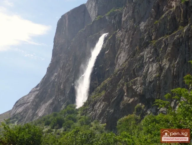
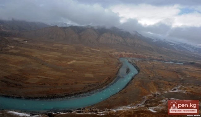
It originates from the glaciers of the Turkestan Range at an altitude of over 5000 m and flows north through the Fergana Valley to the Syr Darya River. From the Isfara district to the northern foothills of the Turkestan Range, where the valleys of the sources of Isfara (the rivers Kshemysh and Karavshin with their tributaries Nurlo, Kiroksan, Birkso, and Jiptyk, Minteke, Karatura, Tamynge, and Urtachashma) fan out, is about 50 km. At the Voruha community, the Kshemysh and Karavshin rivers merge to form the Isfara River.

In its upper reaches, it is called Ak-suu (Aksu), and in the middle reaches — Karavshin (Karavshan). Its length is 130 km, and the catchment area is 3240 km². The main sources of the basin are snow and glaciers. The total area of glaciers in the river basin is 169.6 km², which is 10% of the total basin area. The Isfara originates from the Shurovsky glacier and starts at an altitude of 3240 m.
The flood season begins in the second half of April, in some years in May, and lasts until October.
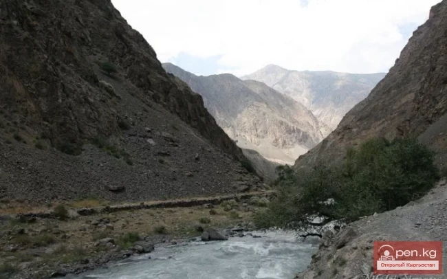
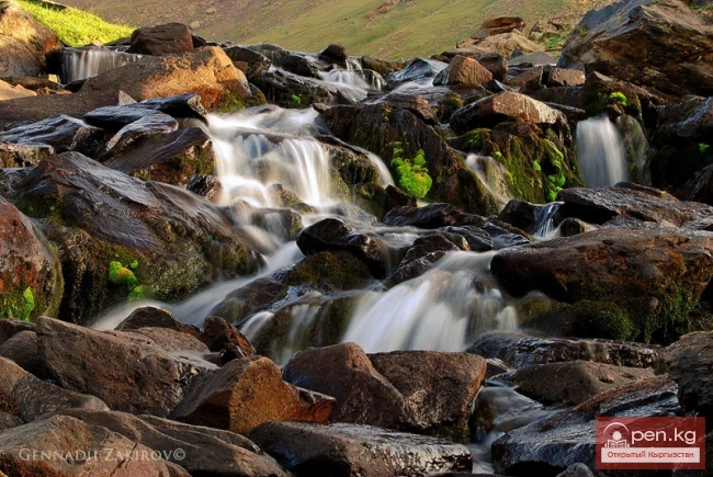
The average annual discharge amounts to 457.3 million m³. The largest tributaries are Kyshemysh, Temingen, and Jiptyk. The Isfara is classified as one of the most hazardous rivers in terms of sediment. The average sediment load in it is 12 kg/s. On average, the Isfara carries 290 tons of silt into the Fergana Valley each year.
The complex geomorphological conditions of the river basin contribute to erosion and high turbidity of the river's flow, reaching 2.8 g/l. Such turbidity is observed after heavy rains. This indicates the exposure of a significant part of the catchment surface.

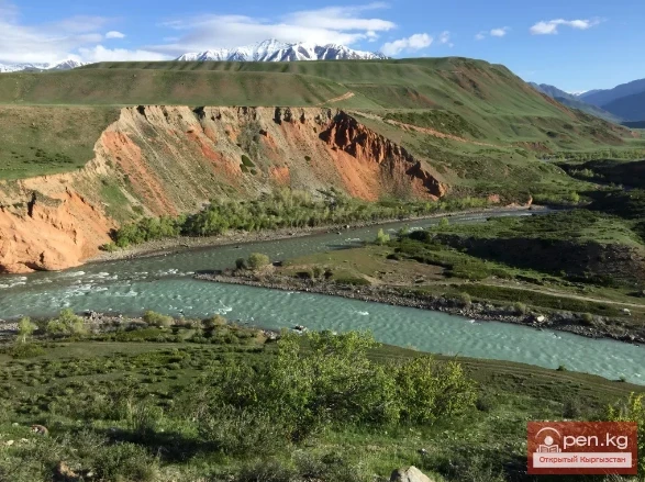
The climate in the Isfara River basin varies by territory and depends on altitude above sea level. The enclosed location of the basin generally determines stable weather. Distinctive features of the climate include: low precipitation, high air and soil temperatures in summer, high evaporation, and frequent strong winds. The prolonged frost-free period and high summer temperatures create favorable conditions for growing cotton and other agricultural crops. The basin can be divided into several climatic zones: the first zone (conditionally up to an altitude of 1100 m) is characterized by dry air, low precipitation, hot summers, and moderately warm winters; as the altitude increases (1100 – 2000 m), the climate changes to moderately warm with cool winters — temperatures decrease and become colder, with precipitation often falling as snow, and humidity increases; in the high mountain area (above 2000 m), precipitation exceeds 450 mm, and their amount increases as one moves up the mountain slopes.
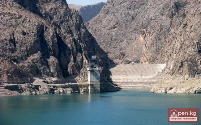
The waters of the river are used for water supply, irrigated agriculture, industry, and other needs. Due to the relatively high population density and outdated irrigation technology, water shortages are often felt.

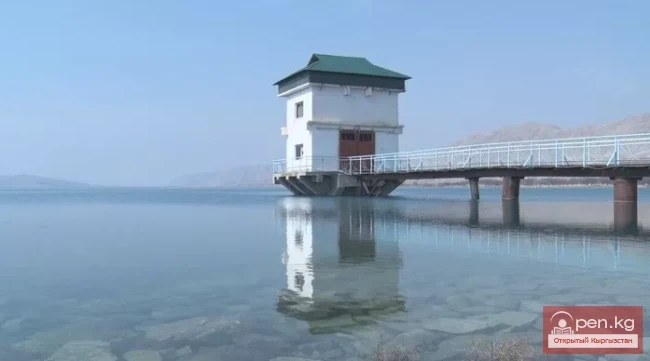
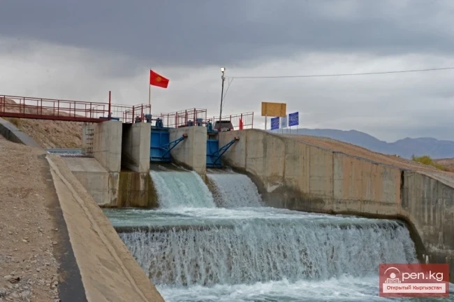
Depending on the water availability in a given year and the technical condition of the relevant water infrastructure, water intake for the needs of the economic sectors of the basin countries varies. The Kyrgyz Republic mainly takes its share of the flow from the Tortgul Reservoir during the winter period. The remaining flow of the river, after the intake of the Isfara district's share at the Ravat hydropost, is distributed between the Kanibadam district of Tajikistan and the neighboring Besharik district of Uzbekistan. In recent years, Uzbekistan has ceased to fulfill its water supply obligations to the Great Fergana Canal with a flow of 3-12 m³/s to the Kanibadam district of Tajikistan, forcing it to compensate for the water shortage from the Isfara River, at the expense of Uzbekistan's limit.

The Batken region of the Kyrgyz Republic is located at the intersection of three countries — Tajikistan, Uzbekistan, and Kyrgyzstan. In the border areas, it resembles a melting pot. Growing competition for access to irrigation water contributes to conflicts. The deficit is particularly acute in the border territory between Tajikistan and Kyrgyzstan.
There are several water distribution agreements in the Isfara River Basin that were signed during the Soviet era, particularly the 1958 Protocol (Kyrgyzstan, Tajikistan, and Uzbekistan), the 1982 Protocol (Kyrgyzstan, Tajikistan, and Uzbekistan), and the 1989 Protocol on water distribution between Kyrgyzstan and Tajikistan. Despite these agreements, mutual dissatisfaction arises between the Kyrgyz and Tajik populations regarding water usage, especially during the growing season.
To maintain a peaceful situation in the border villages, small basin councils for the Isfara River were established in 2013 at the initiative of the Regional Environmental Center for Central Asia with financial support from USAID for both Tajik and Kyrgyz sides.