Dugoba

Юля Rivers
VK X OK WhatsApp Telegram
Dugoba


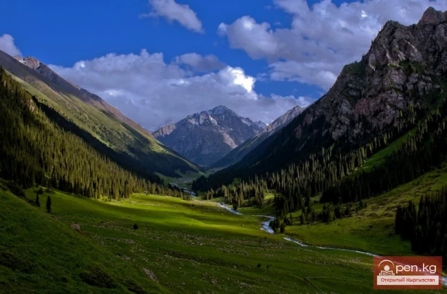
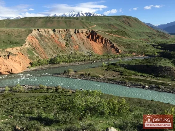
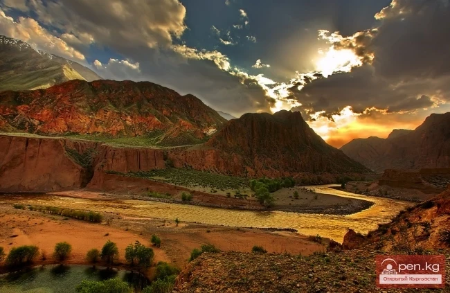
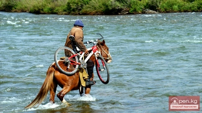
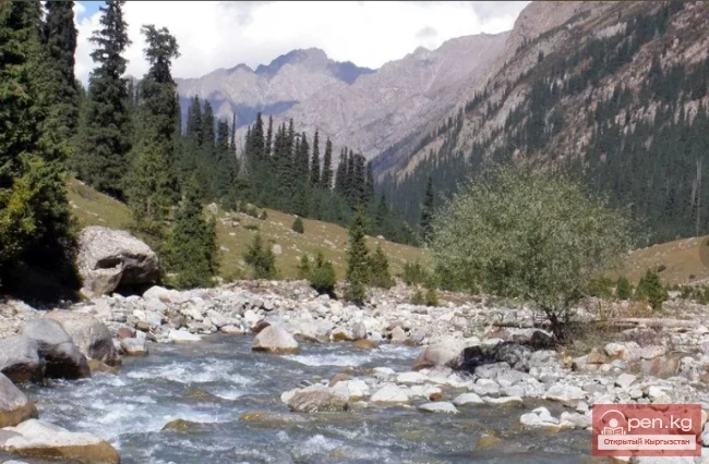
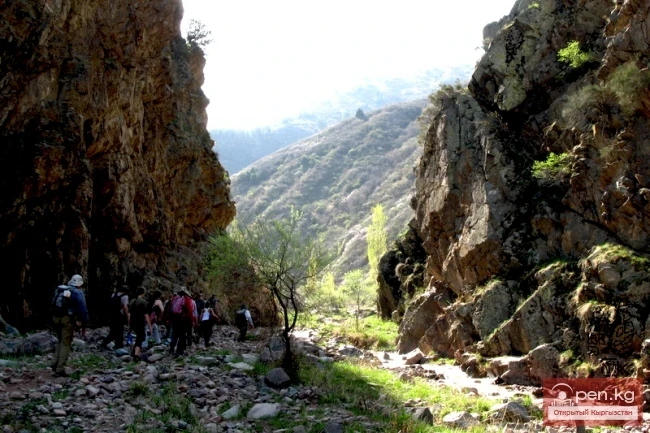
This area is located 40 km from the village of Kadamjay, where the best antimony in the world is produced. Kadamjay is situated along the banks of the Shakhimardan River, which flows down from the northern slopes of the Pamir-Alai. The Shakhimardan River is formed by the tributaries Ak-Suu (on the left) and Kok-Suu (on the right). Below their confluence rise two cliffs: Kala-Choku and Uzun-Choku. In ancient times, these cliffs served as natural fortresses. Many tools of primitive man and ceramic shards have been found in their vicinity. At the foot of Kala-Choku, images of goats are carved into the rocks.

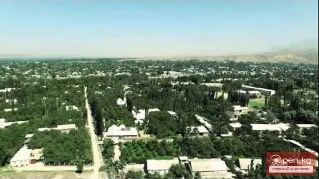
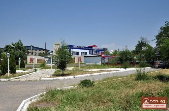
Below the drawings are bowl-shaped depressions, which likely served as places for sacrifices. At the confluence of the Ak-Suu and Kok-Suu rivers, at an altitude of 1400 meters, lies the picturesque village of Khankha-Abad. Khankha-Abad is administratively part of Uzbekistan and forms a geographical-political enclave. Before the collapse of the USSR, Shakhimardan (the old name of the village) was the most popular vacation spot for residents of the Fergana Valley. Now, due to circumstances, Khankha-Abad has lost its significance as a tourist center. Nevertheless, as interstate relations between Uzbekistan and Kyrgyzstan improve, the area may once again become a popular center for tourism and recreation.

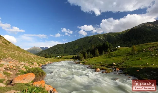
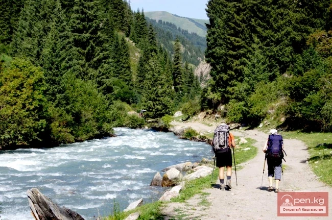
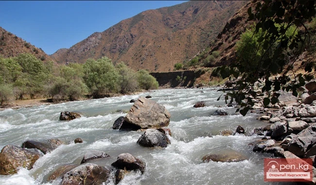
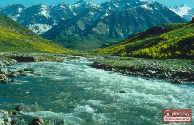
In the lower part of the Ak-Suu valley, a wide river flows through several channels. Ten kilometers upstream lies the village of Iordan. At an altitude of 1550 meters, a small river called Dugoba flows into the Ak-Suu from the south. Further upstream, the Ak-Suu receives the tributaries Shivali and Hadzhir. The sources of the Ak-Suu are formed by the confluence of Eki-Davana and Archa-Bashi, which originate from the glaciers of the Alai Range. On the left bank of the Ak-Suu River is the botanical reserve "Chyragdan," covering an area of 500 hectares, established to protect desert low-mountain dry steppe vegetation and habitats of tulips: Pink and Fergana. In the upper reaches of the Kek-Suu gorge, seven kilometers from Khankha-Abad at an altitude of 1650 meters, lies the picturesque Kurban-Köl Lake (Blue Lake). A cable car operates to the lake during the summer months. The water in Kurban-Köl is blue. Nearby, in the Kenk-Suu gorge, there is another lake, which, due to the bright greenery of the surrounding juniper forests and lush herbs, is called Jashil-Köl (Green Lake). This area also has several easily accessible caves of tourist interest. Among them, the most interesting is the Kalmak-Unkur cave, located on the right bank of the Kek-Suu River, 9 km southeast of Khankha-Abad. The cave features a large underground hall adorned with rare stalactites, measuring 60 meters in length, 35 meters in width, and 15 meters in height. At the bottom of the hall, there is a small lake.

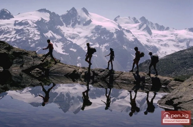
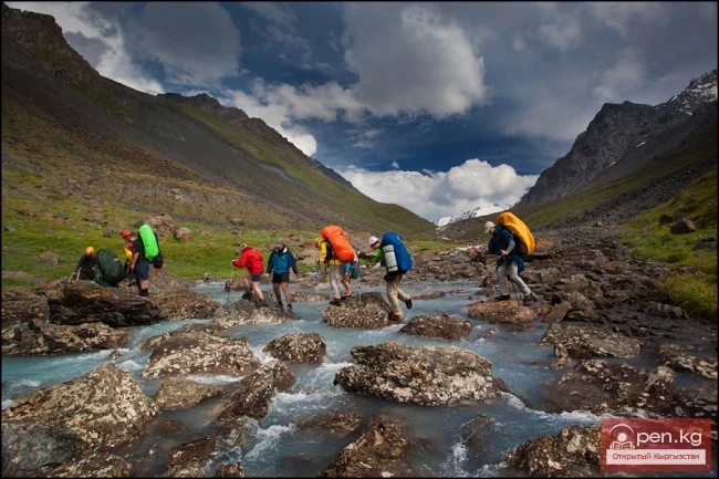
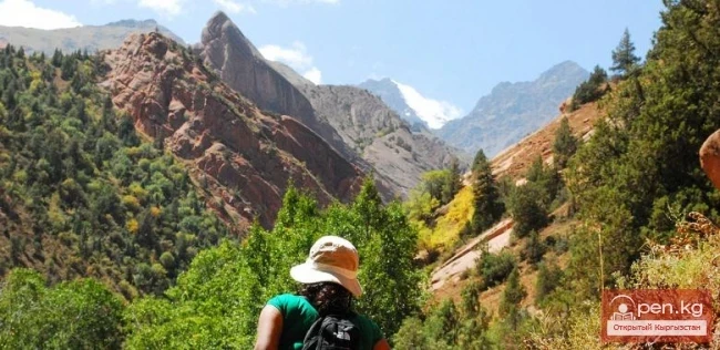
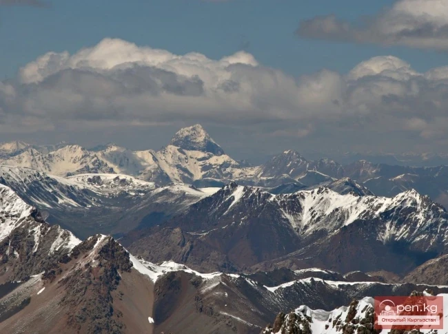
In the upper reaches of the Dugoba River is a mountaineering camp of the same name. In the powerful mountain knot of Dugoba, there are many interesting rocky and snowy peaks. Among them stand out: Peak Uzbekistan (5232 m), Akhunbaeva (5200 m), Materie (5010 m), Frunze (4550 m), Ulitor (4530 m), Tashkent (4600 m), Ak-Tash (4970 m), Aydar (4750 m), and others.
VK X OK WhatsApp Telegram

Read also:

River Karakulja

River Karakulja

Karakulja The Chatkal River in its upper reaches is called Karakulja (translated - Black Ram),...

River Kyzyl-Suu

River Kyzyl-Suu

Kyzyl-Suu (Kyzyl-Suu River, Красная река) - a river in Kyrgyzstan and Tajikistan, the right source...

City of Kadamjay

City of Kadamjay

Kadamjay - "Holy Place". The emergence of the city of Kadamjay is linked to the...

Kekemeren River

Kekemeren River

Kekemeren River is one of the most amazing and beautiful rivers in Kyrgyzstan. The Kekemeren is...

Small Naryn

Small Naryn

Small Naryn encompasses the valley of the river of the same name, located between the ridges of...

Zone "Isfayram-Sai"

Zone "Isfayram-Sai"

Zone "Isfayram-Sai". The left tributary of the Isfayram-Sai River is the Surme-Tash...

"Suusamyr Zone"

"Suusamyr Zone"

The Suusamyr Zone includes the eponymous high-altitude valley stretching 155 km. To the north, it...

The Valley of Chichkan

The Valley of Chichkan

The Chichkan River flows from the north into the Toktogul Reservoir. It is a small river with...

Zone "At-Bashi"

Zone "At-Bashi"

The At-Bashi Zone includes the Atbashi-Karakoyun Valley. The center of the zone, the village of...

Chatkal River

Chatkal River

Chatkal - a mountain river in Kyrgyzstan and Uzbekistan, Before the formation of the Charvak...

Natural Park Kyrgyz-Ata

Natural Park Kyrgyz-Ata

Kyrgyz-Ata Natural Park is located in the basin of the river of the same name, which flows down...

The River Aflatun

The River Aflatun

Aflatun River – the largest right tributary of the Kara-Suu River in the Jalal-Abad region. The...

Dove Waterfall

Dove Waterfall

Dove Watering In the Chon-Kurchak gorge, there is the most unusual and beautiful waterfall,...

Peak Djigit

Peak Djigit

Peak Djigit - height 5170 meters. It is located in the main watershed ridge of the Terskey Alatau...

Kursheb River

Kursheb River

Kursheb, Kursheb River, in the upper reaches — Gulcha, A river in Kyrgyzstan, flowing through the...

Kara-Suu

Kara-Suu

The "Kara-Suu" Zone is located in the eastern part of the southern slope of the Chatkal...

"Chon-Kemin Zone"

"Chon-Kemin Zone"

Chon-Kemin Zone includes the valleys of the Chon-Kemin and Kichi-Kemin rivers between the high...

Kainyndy Glacier

Kainyndy Glacier

Kainy Between Kokshaal-Tau and Kainy-Katta lies the powerful Kuyakap Glacier, and between...

Zone "Padsha-Ata"

Zone "Padsha-Ata"

The "Padsha-Ata" zone includes the gorge of the same name and is located near the...

Rivers of Kyrgyzstan

Rivers of Kyrgyzstan

The formation of runoff and the hydrographic network in the territory of Kyrgyzstan is greatly...

Zone "Maly Naryn"

Zone "Maly Naryn"

The "Maly Naryn" zone encompasses the valley of the river of the same name, located...

Chon-Kyzyl-Suu Gorge

Chon-Kyzyl-Suu Gorge

The Red Water Gorge - Chon-Kyzyl-Suu The picturesque Chon-Kyzyl-Suu gorge is one of the most...

Chuy Region

Chuy Region

The Chuy Region was established on December 14, 1990. Until 1939, various...

"Orto-Tokoy Zone"

"Orto-Tokoy Zone"

The Orto-Tokoy Zone encompasses the territorial foothills at the western end of the Terskey...

Kyrgyz-Uzbek Border

Kyrgyz-Uzbek Border

At the state border of Kyrgyzstan and Uzbekistan, 1400 square kilometers of area are subject to...

"Alamedin Zone"

"Alamedin Zone"

Alamedin Zone is located 25 km from Bishkek in the valley of the same name and the surrounding...

River Ak-Suu

River Ak-Suu

The main channel of the Ak-Suu River is at least 20-22 kilometers long. The lower part of the...

Write a comment: