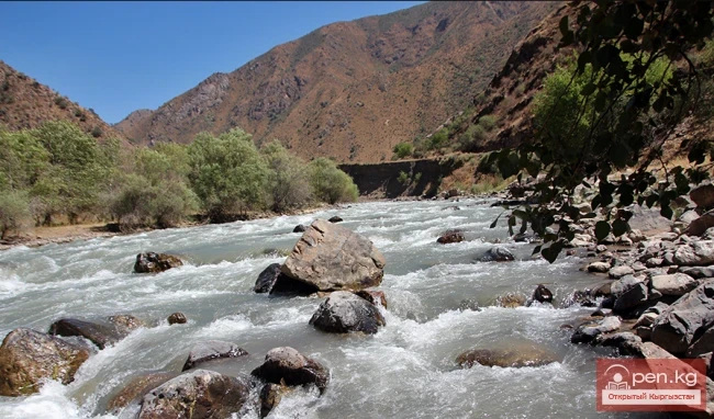
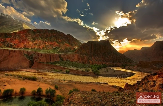
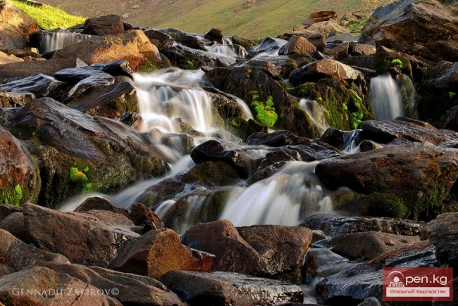
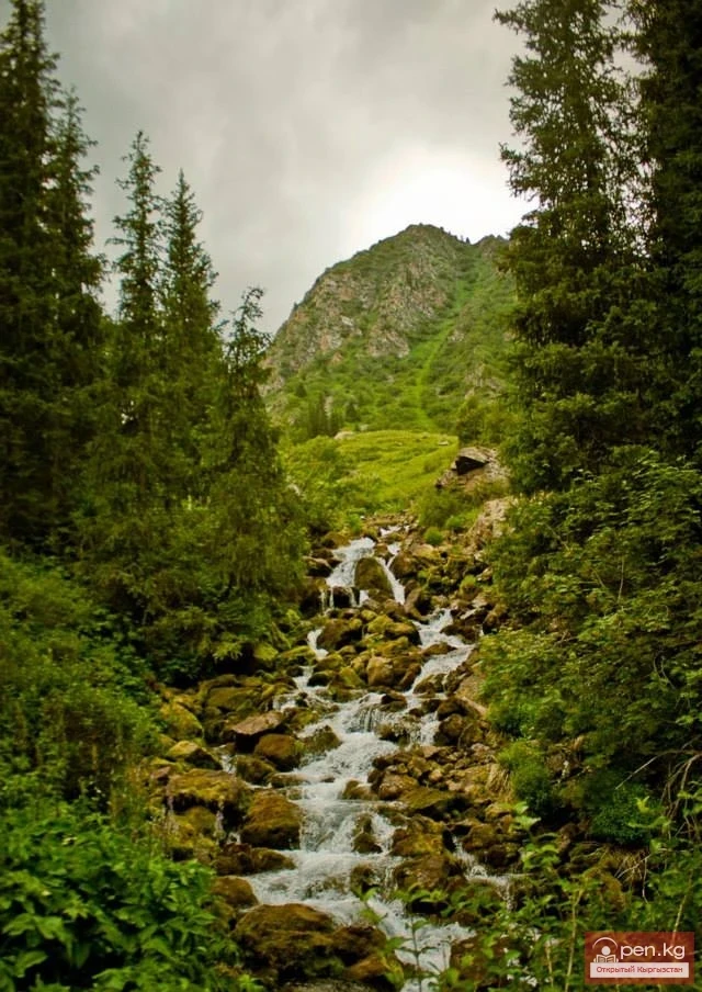
Tauskandarya - "Raging River"
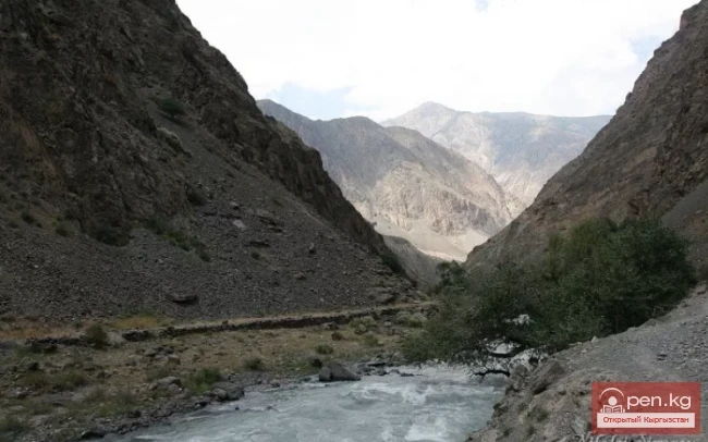
A river in Kyrgyzstan and the Xinjiang Uygur Autonomous Region of China, in its upper reaches known as Kokshaal. It originates in the mountains south of the Kyrgyz city of Naryn. It flows eastward and merges with the Aksu River, which in turn is a tributary of the Tarim River. It is formed by the confluence of the Aksay and Myuduryum rivers.
The name "Tauskandarya" likely comes from the combination of the words dar'ya ("river") and tashkan ("raging stream"). Thus, it can be translated as "raging river".
The author of a small-scale map (1:2,500,000) from the General Staff conducted an approximate calculation of the length of the water artery Aksay – Kokshaal – Tauskandarya up to its confluence with the Sarydjaz River (the area where the valleys may be dry due to water diversion for irrigation). The measurement was taken within the coordinates 750 40/ – 800 10/ E and 380 20/ – 410 07/ N.
Considering that the distance between adjacent meridians at the parallel 390 30/ (the average of the specified) is 86 km, the total length between the longitudes (a total of 40 30/) is 387 km in a straight line, and with a correction factor of 1.3 (the minimum for such a scale of the map), and given that Kokshaal in its upper reaches (Aksay) flows in a meridional direction, the length of this river will be no less than 530-550 km.

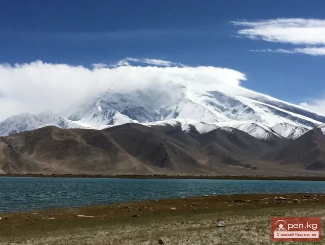
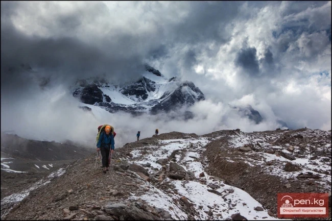
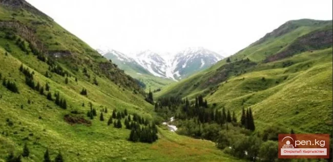
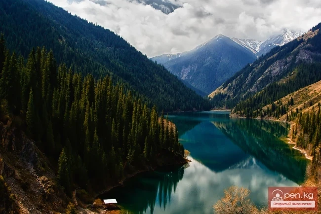
Kokshaal-Tauskandarya drains the entire Aksay depression (Kyrgyzstan) along with the surrounding ridges, the Chonuzenggush basin (the second most powerful glaciation center in the Tian Shan - the area of Peak Dankov - 5982 m), and in China - the southern slopes of the Kokshaaltau ridge and the northern slopes of the Meidantag and Karateke ridges, which together form the longitudinal valley of Kokshaal (Tauskandarya). At the same time, one cannot ignore the possible outflow of river runoff in the form of fissure waters (faults, voids) from the Aksay depression (3100-3800 m) to the neighboring lower-lying: Atbashinskaya (2000-2800 m) and Arpinskaya (2750-3100 m) depressions, where the difference in elevation between their upper reaches reaches 700-1000 m. Additionally, part of the runoff in the form of underground flows may break through the mentioned ridges directly into the Kashgar-Yarkand valley, as the area is rich in caves.
The above shows that the surface runoff of Kokshaal is subject to significant transformation. In the upper reaches, this river system experiences possible losses of surface runoff through various cavities, while in the middle and lower reaches (Kokshaal-Tauskandarya), there is significant infiltration of runoff into loose alluvial deposits and intense water withdrawal for irrigation in the Uchturfan and Aksu oases. Return waters after irrigation, which flow back into the riverbed downstream, do not ensure the restoration of the disrupted surface runoff, leading to its depletion before meeting its shorter but more water-rich tributary (at this point) - Sarydjaz.