Isfayramsay
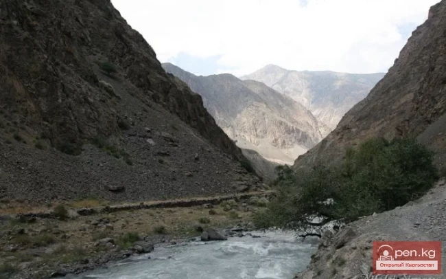
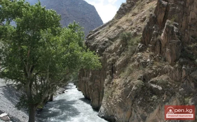
A river in Kyrgyzstan and Uzbekistan, a left tributary of the Syr Darya. Its total length is one hundred and twenty-two kilometers with a catchment area of two thousand two hundred twenty square kilometers. The river originates from the spurs of the Alay Range.
In its upper reaches, Isfayramsay is known as Tengizbay. It flows in a northern direction.
The river is part of the Great Fergana Canal system. From the city of Kuvasay, the canal named after the XVII Party Congress branches off, and several more canals follow downstream. East of the settlement of Kirguli, the waters of the river flow into the Southern Fergana Canal.
The main source of nourishment is melting snow and glaciers. The maximum flow occurs from May to August, while the minimum replenishment happens in winter, from December to February.
In the high-water period, mainly in summer, the river has a turbulent flow with chocolate-colored water due to the presence of sand and clay. The water is very cold. In some areas along the banks, small tugai forests have survived, overgrown with shrubs such as jida (wild olive), sea buckthorn, and others. In 1962 and 1973, serious mud and stone flows occurred on the Isfayramsay, leading to the evacuation of the city of Kuvasay and nearby settlements.

It has been found that since the early 1990s, there has been an increase in the average annual water flow of the Isfayramsay River. The increase in flow has been noted since 1985 and has been 20% higher during the two preceding decades (1985-1994), and 14% higher than the long-term averages from 1995 to 2005. Thus, positive trends in the changes of the annual runoff of the Isfayramsay River have been identified in the examined sections over the past eighty years.
