Aspara
A river in the Panfilov District of Chuy Region, Kyrgyzstan, and the Merken District of Zhambyl Region, Kazakhstan. It is part of the Chu River basin (Shu).
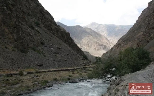
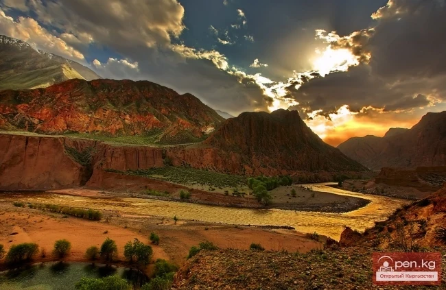
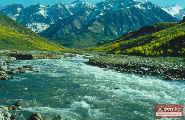
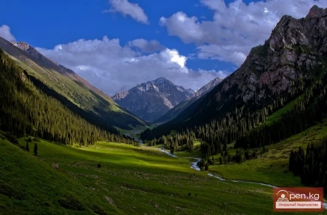
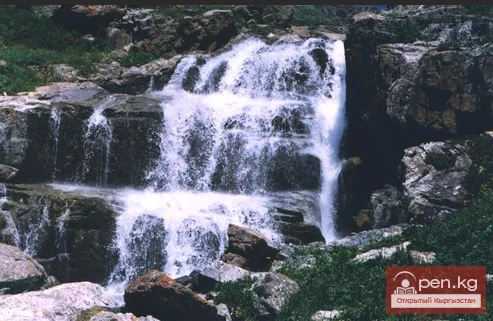
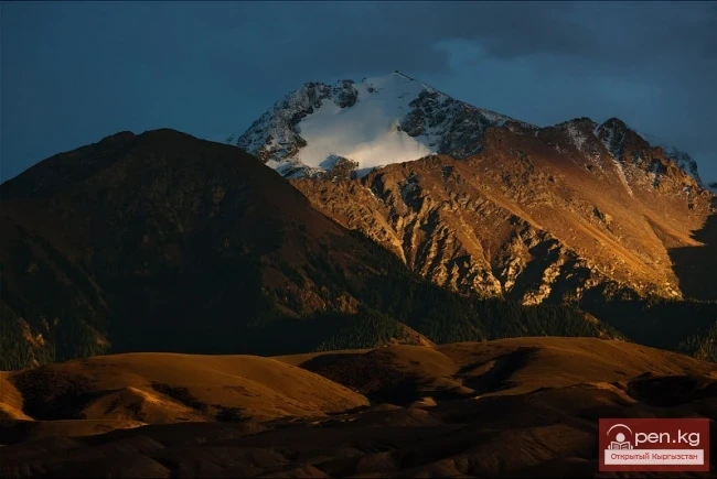
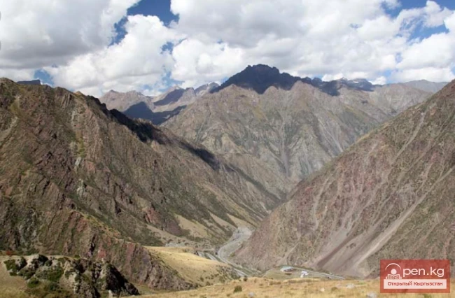
The Aspara River is a tributary of the Chu River and belongs to the group of rivers on the northern slope of the Kyrgyz Range. The river originates in the Western Tian Shan in the northwest of Kyrgyzstan and flows north, crossing into southern Kazakhstan to the Kuragaty River. On the left bank of the Aspara River is the Merke River basin, and on the right is the Kainy River basin. In its natural state, the Aspara River was a tributary of the Kuragaty River (a tributary of the Chu River), with a length of 108 km and a catchment area of about 1210 km².

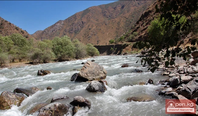
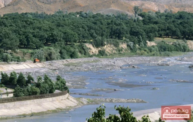
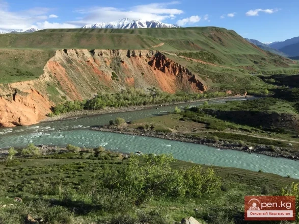
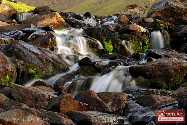
The riverbed consists of pebbles or sandy-pebbly sections. The banks are mostly gentle, and the river's floodplain is either meadow or shrubland. The Aspara River generally does not freeze during the cold periods of the year. The highest water levels in the river are observed from April to June, when intense snowmelt occurs. The total length of the river is 108 km to its confluence with the Kuragaty River, which then flows into the Chu River.
In the river basin, there are 5 lakes with a total area of 0.07 km², ponds, and water bodies – 10 with a total volume of 6.57 million m³.
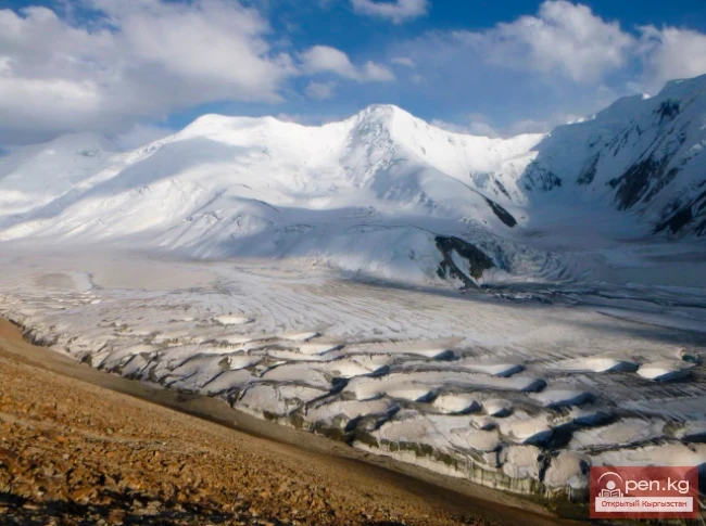
The river is fed by glaciers and has numerous tributaries, with a total length of about 100 km. The annual runoff at 75% reliability is 91.8 million m³.
The total area of the Aspara River basin is 1318 km², including 876 km² in Kazakhstan and 442 km² in Kyrgyzstan.
The catchment area of the river is 458 km², including 216 km² in Kazakhstan and 242 km² in Kyrgyzstan. The area of the lower basin of the Aspara River is 860 km², including 660 km² in Kazakhstan and 200 km² in Kyrgyzstan.
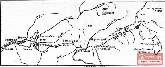
Tributaries of Aspara. Some tributaries flowing into the river from the confluence of Asparabashi and Ashuu-Tyora include: Esenaman (Aman-Esen, left), Kumbel East (left), Baktybay (right), Yundy-Tyob (right), Aksai (left), Chetindi (right), Tuyyktor (Tuyuk-Tor, left), Archaly (Arshaly, right), Chetendy (left), Kyzylauzy East (left), Belen-Teke (right), Chaar (left), Budurtash (right), Kuntiybes (right), Botolu (left), Kashkansu (left), Zholdysay (left). The "Chuy Region" encyclopedia identifies the Mahan River (Makham) as a significant tributary of Ashmara, which flows into the Tattin Reservoir, downstream from the confluence with Igeremen (and can thus be interpreted as a tributary of the latter).

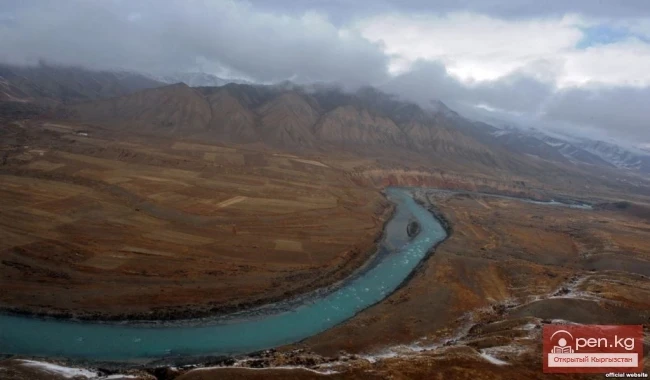
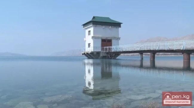
The Aspara River has a width of up to 7 m, a depth of 0.5-1.0 m, and a flow velocity of 0.5-8 m/s, with a winding riverbed. The Aspara River crosses the border into Kazakhstan; according to cartographic data, the riverbed continues in Kazakhstan but becomes filled only with snowmelt and rainwater, flowing into the Tatti Reservoir. The peak of the flood occurs in June-July and reaches 50 m³/s. The rise of the flood is characterized by a rapid increase due to the intensity of snow and ice melting in the mountains and rainfall during the summer period.
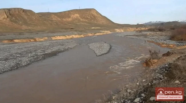
The river is prone to mudflows. During mudflow floods, more than 60,000 m³ of sediment may be carried away by the river in certain years. The average long-term discharge of the river is 2.37 - 4.74 m³/s. Flow velocities and depths in the river range from low water to flood between 1-2 m/s and 0.1-1.2 m. At the site of the water intake node, there is a slope of 0.029, and it passes through boulder-pebble deposits with an average size of 55 mm and a maximum of 500 mm. The annual runoff of suspended sediments at the node is 39,000 m³, and the bottom sediments are 16,000 m³. In winter, the formation of ice jams, bottom ice, and slush is observed in the river for a short period. Water intake from the Aspara River occurs year-round.
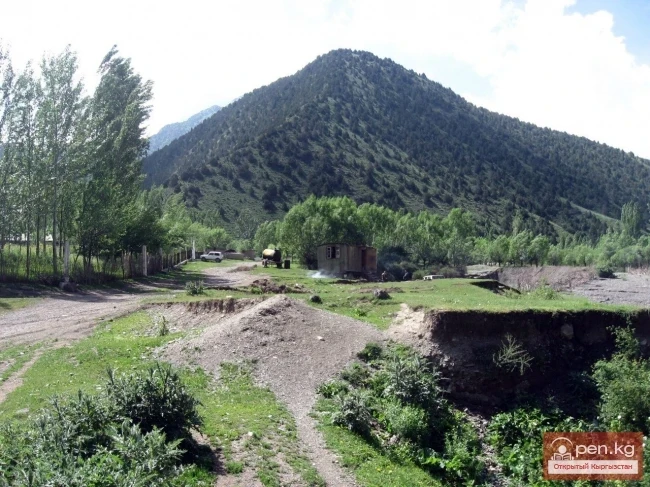
On the banks of the Aspara are the settlements of Granitogorsk, Cholo-Aryk, Chaldovar (Chaldybar), Novovoskresenovka, Aral-Kichilak, Kenes, and Rovny.
In the Aspara River basin, as in many other transboundary basins in Central Asia, water resources are still distributed according to agreements signed by the interested parties, in this case, the Kazakh and Kyrgyz SSRs in 1948.
However, adhering to these agreements, especially during periods of water scarcity, is quite challenging.

Previously, hydrological observations were conducted at the "Granitogorsk" gauging station, which was destroyed by floods in 1988. Currently, water accounting is carried out by authorized organizations in Kazakhstan, i.e., based on the Asparinsky water intake canal (AWC) when discharging water in favor of the authorized water organization of the Kyrgyz Republic.