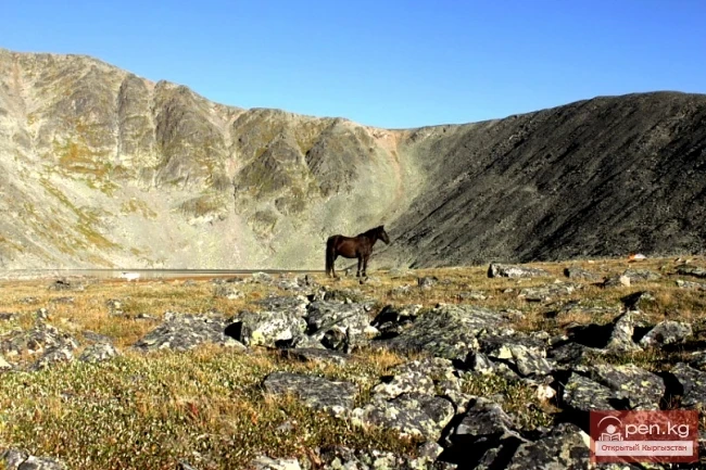
Kara-Suu
The "Kara-Suu" Zone is located in the eastern part of the southern slope of the Chatkal Ridge and occupies the valley of the river of the same name. In the lower reaches of the river, semi-deserts with sparse forests of pistachio and almond trees are widely represented. South of the city of Tash-Kumyr is the botanical reserve of Dzhiel-Tiibes, covering an area of 800 hectares, where a reference section of the southern semi-desert is protected. Below Tash-Kumyr is a Paleogene group of thermal springs with a temperature of 25 degrees, which are used by the local population.
Above, mountain steppes with thickets of shrubs such as wild rose, honeysuckle, barberry, hawthorn, and others spread out. In spring and early summer, turtles are found here in large numbers.
On the left bank in the mountainous areas, nut-fruit forests are represented. Maple forests are also found. In some places, they form large masses, covering more than 40,000 hectares in the Fergana and Chatkal ridges.
In the lower and middle reaches, the Kara-Suu River receives only left tributaries such as Ak-Dzhot, Turduk, Mal-Kaldy, and others, with a height difference of up to 75 meters per kilometer of tributary length.
Approximately 35-40 km from the watershed of the Chatkal Ridge, the valley of the Kara-Suu River narrows sharply and takes the form of a deep rocky gorge. Steep terraces covered in some places with white scree descend from Mount Myntake to the riverbed. This part of the valley is rightly considered the most beautiful place in the zone due to the brightness of the colors of the floodplain vegetation and the emerald green of the surrounding mountain slopes.
In the fertile mid-mountain meadow-forest belt, where in ancient times a huge landslide up to 200 meters high dammed the river, lies Lake Kara-Suu (or Karakamysh, or Kara-Suu-Bashikel). Its length is about 1.5 km, width up to 500 m, and the water surface elevation is 1870 m above sea level. On its shores, the slender bright green firs of Semenov stand out sharply against the multicolored lakeside nature. Tian Shan spruces are less common.
Two kilometers from Lake Kara-Suu, at an altitude of 1700 m, there is another lake. The Kara-Suu River flows calmly from it across the surface of the landslide among green shady banks overgrown with spruces, maples, birches, as well as various shrubs and thickets of yellowish eremurus. Above Lake Kara-Suu, the valley of the river opens up, and its bottom appears as a wide glade formed by the delta deposits of the river, covered with rich meadow vegetation and sparse forests of birches and spruces. About 7-8 km up the gorge, the right slopes separating the Kara-Suu gorge from the Khoja-Ata gorge become somewhat gentler. Here are low passes leading to Lake Sary-Chelek. The most accessible of them is the Makmal Pass (2700 m). In the upper reaches of the Kara-Suu gorge, truly grand views open up onto the steep towers of the watershed part of the Chatkal Ridge, where the highest peaks covered with snow are located.
At an altitude of 2200 m in Kyzyl-Suu (the name of the Kara-Suu River in its upper reaches), its left tributary Kashka-Suu flows in, at the upper reaches of which is the pass of the same name (3525 m), leading into the gorge of the Kashka-Suu River in the North. The part of this gorge located below the pass is covered with snow, alternating with brightly green alpine meadows and picturesque rocky outcrops.
On the ridge of the Chatkal Ridge, there are passes Ak-Suu (3450 m), Kokuybel (3036 m), Chiyim-Tash (3575 m), and Ak-Tash (3461 m). From them, majestic panoramas of the surrounding rocky peaks open up. The most beautiful of them is the Castle of Fairy Tales (4200 m).
The objects for short excursions can include the picturesque weathering pillars "Kara-Dzhigach" and other attractions of the "Sary-Chelek" zone. From the zone, one can take an excursion to the archaeological site - the grotto "Tash-Kumyr," which is located on the steep bank of the Kara-Suu River at a height of 30-35 m above the water level, not far from where it flows into the Naryn River, 1.5 km from the city of Tash-Kumyr; to the ancient settlement of Kyzyl-Dzhар (I-IV centuries AD), where a defensive wall has been excavated, and to a hydrogen sulfide mineral spring with a temperature of 22 degrees from a well about 10 m deep, located in the territory of the village of Kyzyl-Dzhар to the southwest of the city of Tash-Kumyr.
Read also:

Karymshakov Rakhym Karymshakovich
Karymshakov Rakhym Karymshakovich (1936), Doctor of Physical and Mathematical Sciences (1995),...
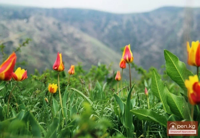
Types of Higher Plants Listed in the "Red Book" of Kyrgyzstan (1985)
Species of higher plants removed from the "Red Book" of Kyrgyzstan (1985) Species of...
Prose Writer, Critic Dairbek Kazakbaev
Prose writer and critic D. Kazakbaev was born on June 20, 1940, in the village of Dzhan-Talap,...
The Poet Baidilda Sarnogoev
Poet B. Sarnogoev was born on January 14, 1932, in the village of Budenovka, Talas District, Talas...
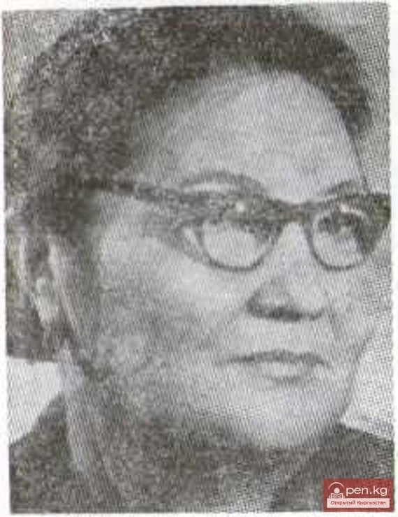
The Poet Tenti Adysheva
Poet T. Adysheva was born in 1920 and passed away on April 19, 1984, in the village of...
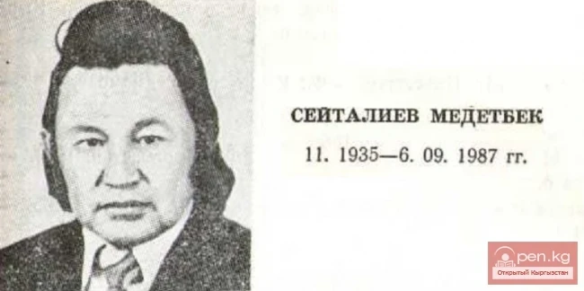
Poet, Prose Writer Medetbek Seitaliev
Poet and prose writer M. Seitaliev was born in the village of Uch-Emchek in the Talas district of...
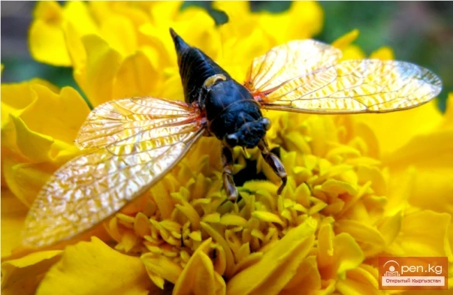
Types of Insects Excluded from the Red Book of Kyrgyzstan
Insect species excluded from the Red Data Book of Kyrgyzstan Insect species excluded from the Red...
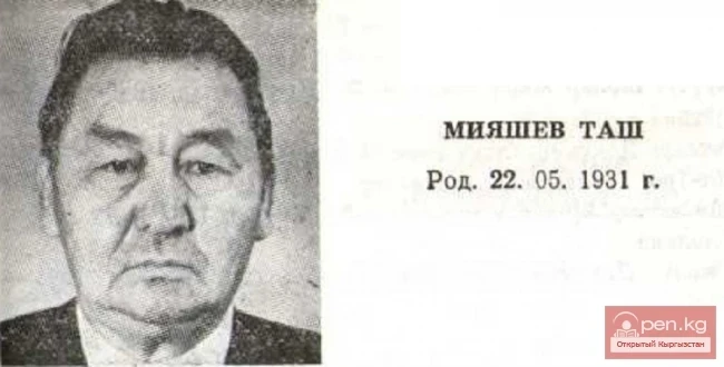
Poet, Prose Writer Tash Miyashev
Poet and prose writer T. Miyashev was born in the village of Papai in the Karasuu district of the...
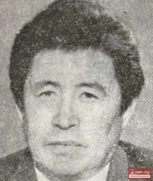
The Poet Kudaibergen Jumanaazarov
Poet K. Jumanaazarov was born on July 5, 1937, in the village of Jetigen, Toktogul district, Osh...

The title translates to "Poet Soviet Urmambetov."
Poet S. Urmambetov was born on March 12, 1934, in the village of Toru-Aigyr, Issyk-Kul District,...

Kenesariyev Tashmanbet
Kenesariyev Tashmanbet (1949), Doctor of Historical Sciences (1998), Professor (2000) Kyrgyz. Born...
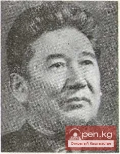
Prose Writer, Journalist Djapar Saatov
Prose writer, journalist Dzh. Saatov was born on February 15, 1930, in the village of Alchaluu,...
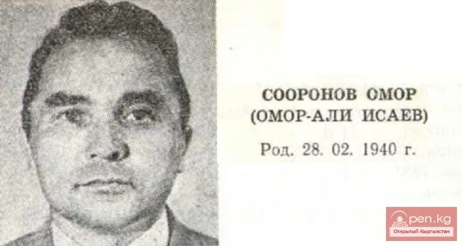
Poet, Critic, Literary Scholar Omor Sooronov
Poet, critic, literary scholar O. Sooronov was born in the village of Gologon in the Bazar-Kurgan...

The Poet Subayilda Abdykadyrov
Poet S. Abdykadyrova was born in the village of Sary-Bulak in the Kalinin district of the Kirghiz...
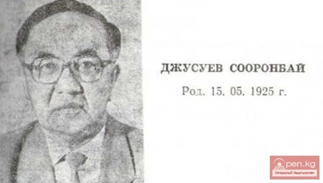
The Poet Sooronbay Jusuyev
Poet S. Dzhusuev was born in the wintering place Kyzyl-Dzhar in the current Soviet district of the...
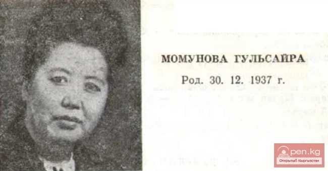
The Poet Gulsaira Momunova
Poet G. Momunova was born in the village of Ken-Aral in the Leninpol district of the Talas region...

Critic, Literary Scholar Kalyk Ibraimov
Critic and literary scholar K. Ibraimov was born on August 2, 1952, in the village of Kara-Kuldja,...

Critic, Literary Scholar A. Sadykov
Critic and literary scholar A. Sadikov was born in the village of Kara-Suu in the At-Bashinsky...

Poet, Prose Writer Isabek Isakov
Poet and prose writer I. Isakov was born on September 1, 1933, in the village of Kochkorka,...
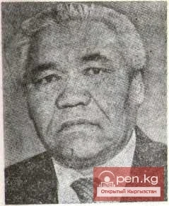
Prose Writer Kachkynbay (KYRGYZBAI) Osmonaliev
Prose writer K. Osmonaliev was born on March 5, 1929, in the village of Chayek, Jumgal district,...
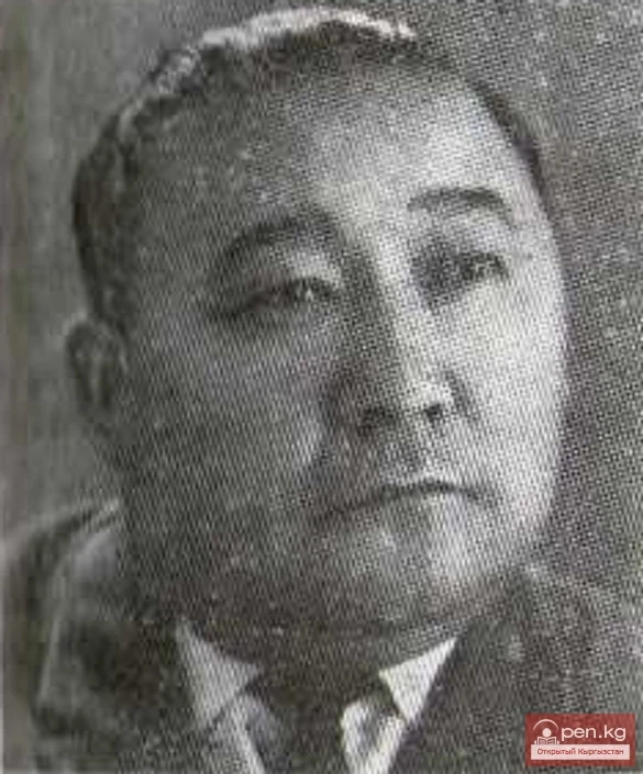
The Poet Kubanych Akaev
Poet K. Akaev was born on November 7, 1919—May 19, 1982, in the village of Kyzyl-Suu, Kemin...
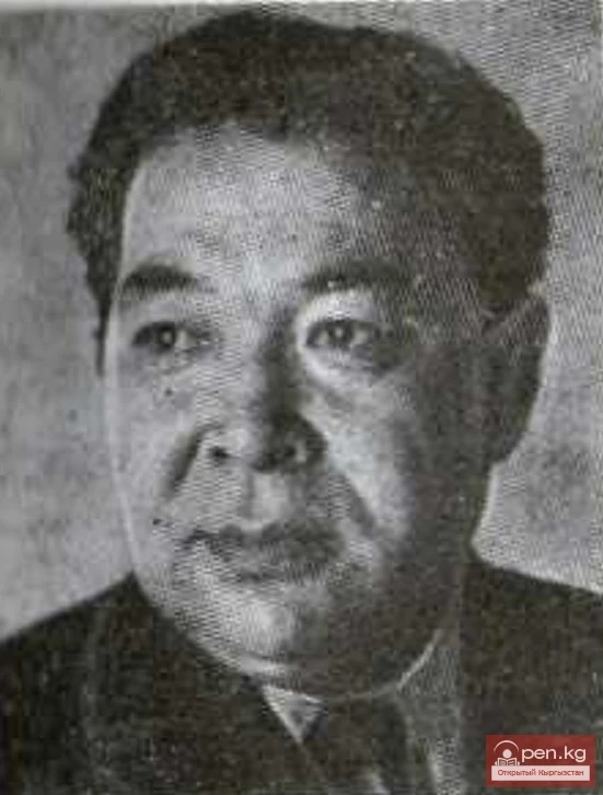
The Poet Usenkul Jumabaev
Poet U. Jumabaev was born on March 23, 1923—August 20, 1976, in the village of Kara-Dyube, Chui...

Types of Insects Listed in the 2004 IUCN RLTS Not Included in the Red Book of Kyrgyzstan
Insect species listed in the 2004 IUCN RLTS, not included in the Red Book of Kyrgyzstan 1....

Critic, Literary Scholar Abdygany Erkebayev
Critic, literary scholar A. Erkebayev was born in the village of Kara-Teyit in the Alaï district...
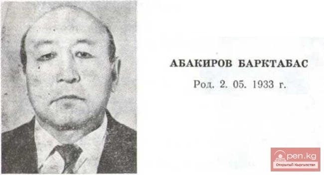
Poet, Journalist Barktabas Abakirov
Poet and journalist B. Abakirov was born in the village of Kum-Dyube in the Kochkor district of...

Prose Writer Duyshen Sulaymanov
Prose writer D. Su laymanov was born in the village of Jilaymash in the Sokuluk district of the...
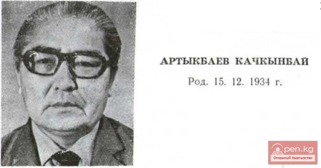
Critic, Literary Scholar, Poet Kachkynbai Artykbaev
Critic, literary scholar, poet K. Artykbaev was born in the village of Keper-Aryk in the Moscow...
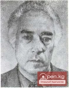
Poet, storyteller-manaschi Urkash Mambetaliev
Poet, storyteller-manaschi U. Mambetaliev was born on March 8, 1934, in the village of Taldy-Suu,...

Poet Abdilda Belekov
Poet A. Belekov was born on February 1, 1928, in the village of Korumdu, Issyk-Kul District,...
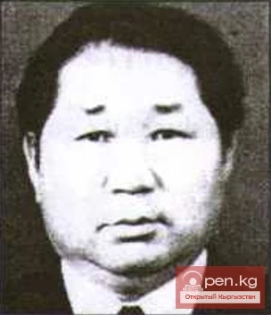
Salamatov Zholdon
Salamatov Zholdon (1932), Doctor of Physical and Mathematical Sciences (1995), Professor (1993)...
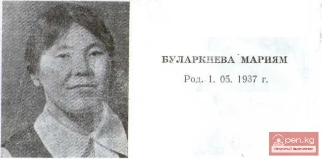
Poet Mariyam Bularkieva
Poet M. Bularkieva was born in the village of Kozuchak in the Talas district of the Talas region...

Zhorobekov Zholbors
Zhorobekov Zholbors (1948), Doctor of Political Sciences (1997) Kyrgyz. Born in the village of...
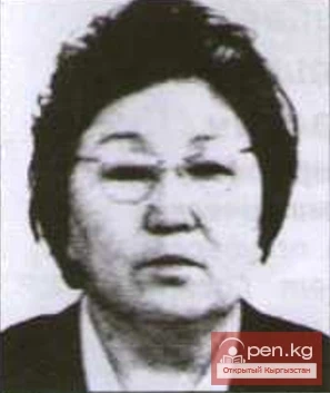
Kerimzhanova Bubu Dyikanbaevna
Kerimjanova Bubu Dyikanbaevna (1920-1993), Candidate of Philological Sciences, Corresponding...
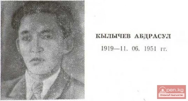
Poet, Prose Writer Abdrasul Kylychev
Poet and prose writer A. Kilychev was born in the village of Orto-Sai near the city of Naryn in...

The Poet Akbar Toktakunov
Poet A. Toktakunov was born in the village of Chym-Korgon in the Kemin district of the Kyrgyz SSR...

Tourist Area Management Program
The project "USAID Business Development Initiative" (BGI), within the tourism...
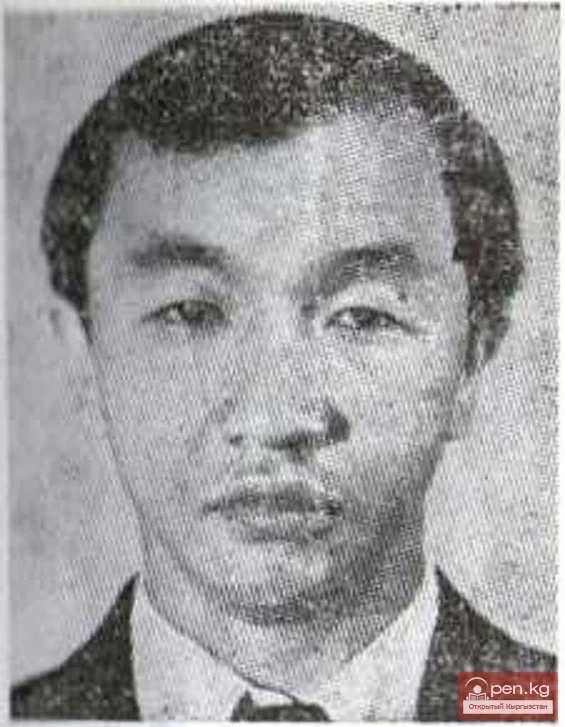
Critic, Literary Scholar Abdyldazhan Akmataliev
Critic and literary scholar A. Akmataliev was born on January 15, 1956, in the city of Naryn,...
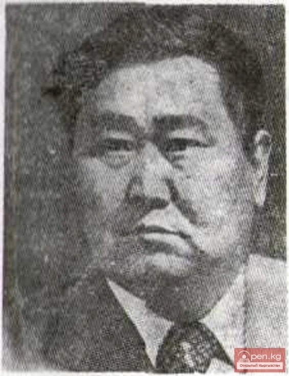
Poet Dzholdoshbay Abdykalikov
Poet J. Abdykalikov was born in the village of Tashtak in the Issyk-Kul district of the Issyk-Kul...

Poet Mukambetkalyy Tursunaliev (M. Buranaev)
Poet M. Tursunaliev was born on January 11, 1926, in the village of Alchaluu, Chui region of the...

Poet Mederbek Akimkodzhoev
Poet M. Akimkodzhoev was born in the village of Bazar-Turuk in the Jumgal district of Naryn region...
The Poet Jumakan Tynymseitov
The poet J. Tynymseitova was born on 11. 1929—29. 07. 1975 in the village of On-Archa in the...
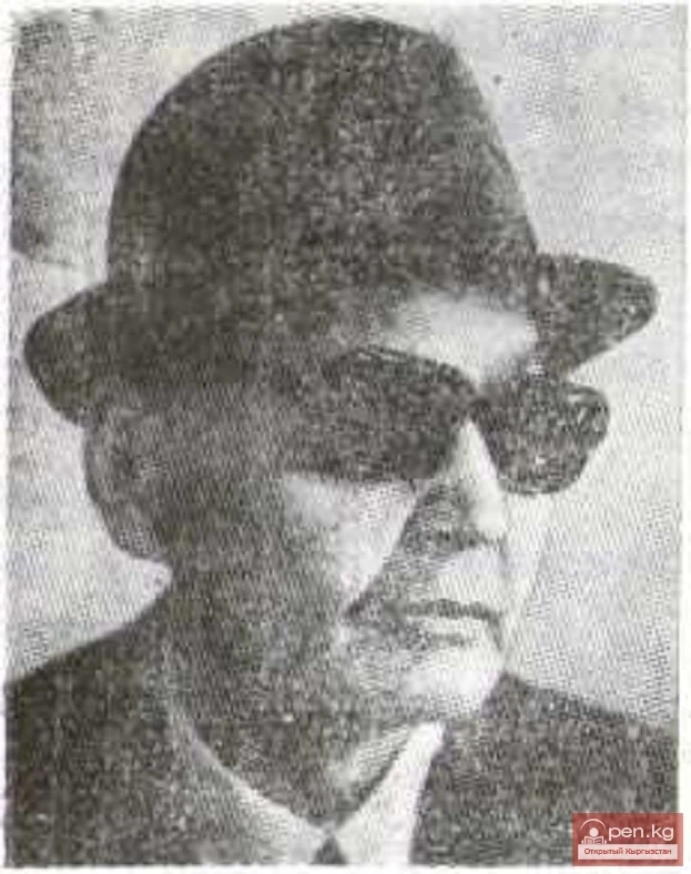
Poet Abdravit Berdibaev
Poet A. Berdibaev was born on 9. 1916—24. 06. 1980 in the village of Maltabar, Moscow District,...
Poet, Critic Asylbek Medetbekov
Poet and critic A. Medetbekov was born on June 29, 1939, in the village of Ken-Aral, Leninpol...
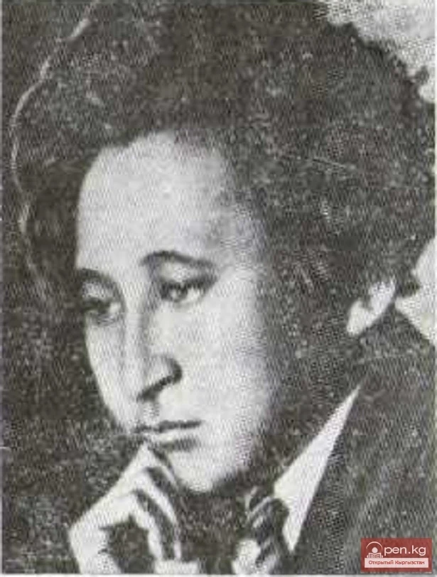
Poet, playwright Dzhomart Bokonbaev
Poet and playwright J. Bokonbaev was born on May 16, 1910 — July 1, 1944, in the village of...

The Poet Smar Shimeev
Poet S. Shimeev was born on November 15, 1921—September 3, 1976, in the village of Almaluu, Kemin...
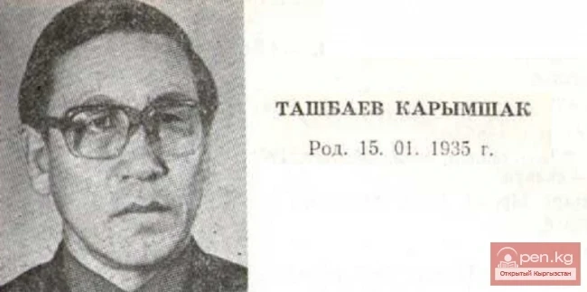
Poet Karymshak Tashbaev
Poet K. Tashbaev was born in the village of Shyrkyratma in the Soviet district of the Osh region...
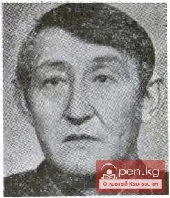
Poet Akynbek Kuruchbekov
Poet A. Kuruchbekov was born on December 5, 1922 — November 29, 1988, in the village of Eryktu,...
