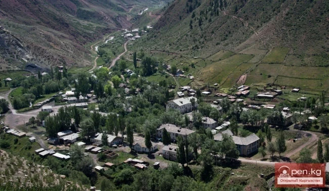
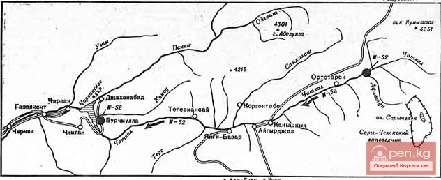
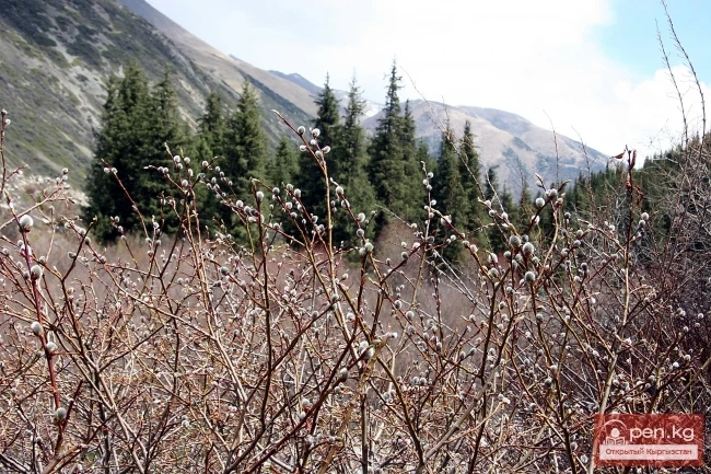
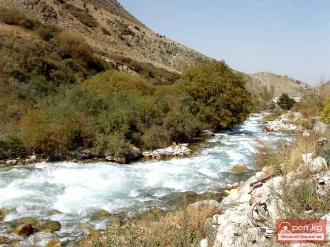
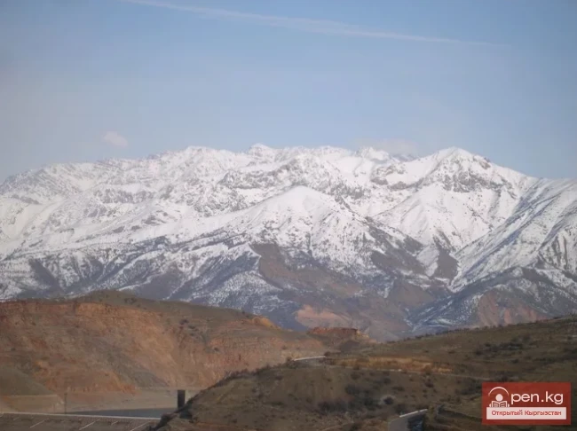
The "Padsha-Ata" zone includes the gorge of the same name and is located near the district center of Karavan, 350 km from the city of Osh. Along the gorge, a dirt road runs along the right bank of the river to the village of Karabashat. At the end of the road lies the mazar of the "saint" Padsha-Ata. In a stretch of about 500 meters along the riverbed, there is a dense grove of ancient birches, the trunks of which reach two circumferences in diameter.
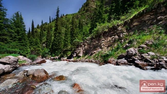
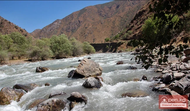
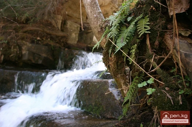
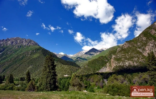
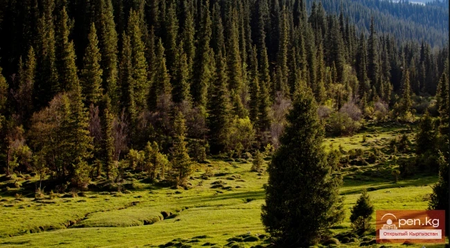
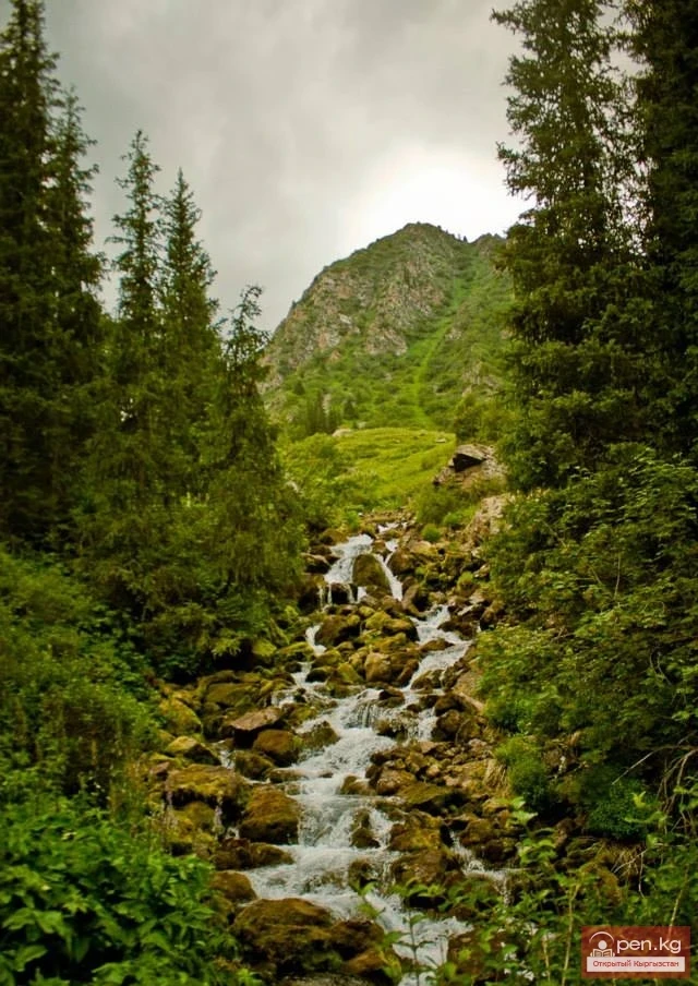
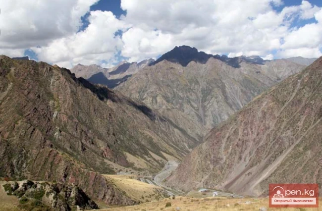
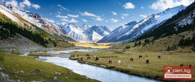
Above the grove, the Padsha-Ata valley narrows. The surrounding cliffs come close to the riverbed. The water rushes powerfully into the rocky gorge, crashing against huge stones. The entire flow is hidden under a white lace of foam and water dust for almost a kilometer. Among the local population, this place is known as Kapchigay (the gorge). After passing through the gorge, the Padsha-Ata valley widens. In this area, the slopes of the gorge and part of the floodplain are densely overgrown with Tien Shan fir and noble fir. Above the water, the curtains of birches stand out against the underbrush. Here, the river receives two of its tributaries: the left one, Jalbakkan, and then at an altitude of 1670 m, the large right tributary Mynzhilki, which has a water flow volume almost equal to that of Padsha-Ata.
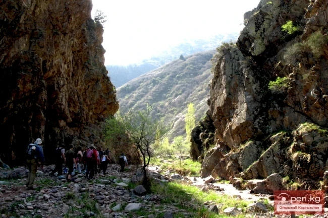
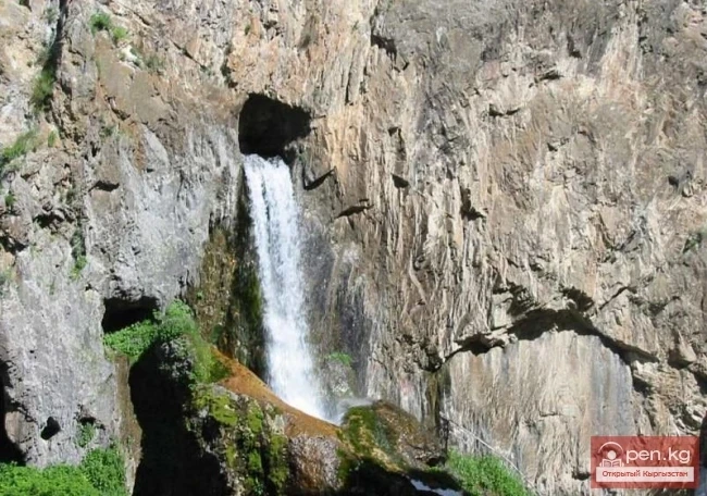
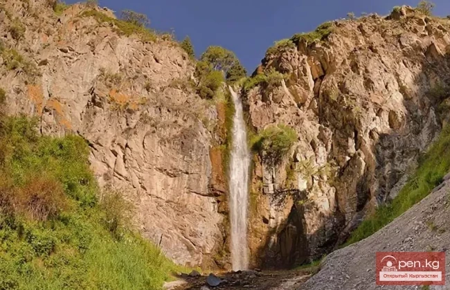
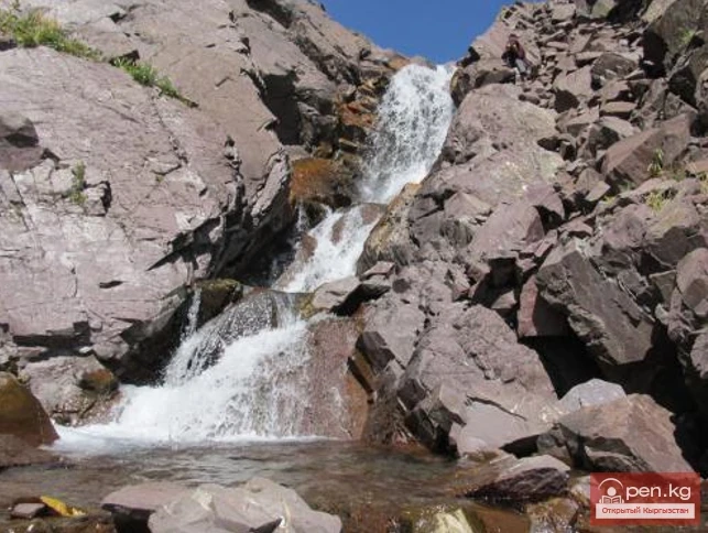
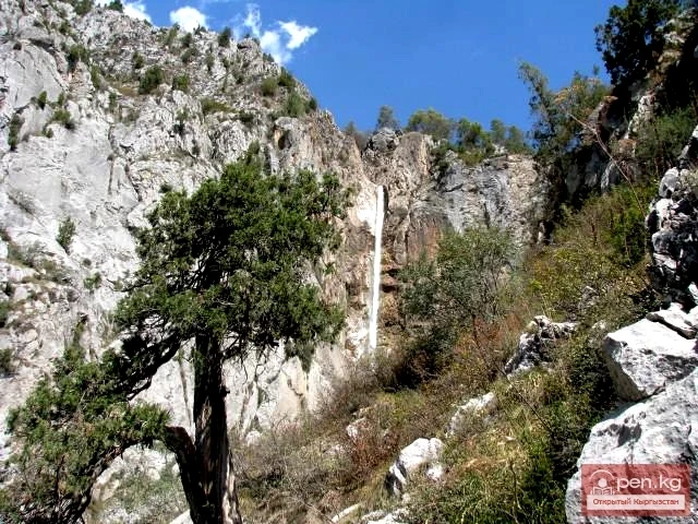
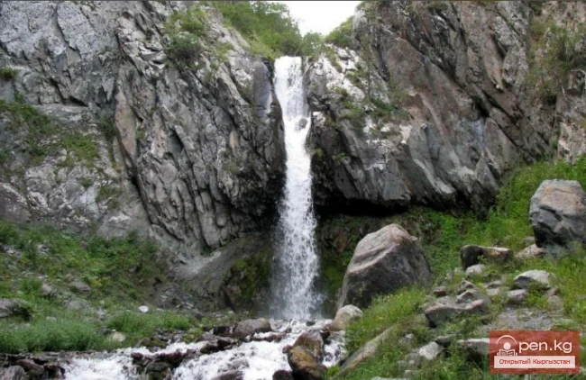
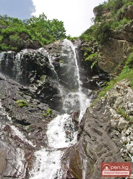
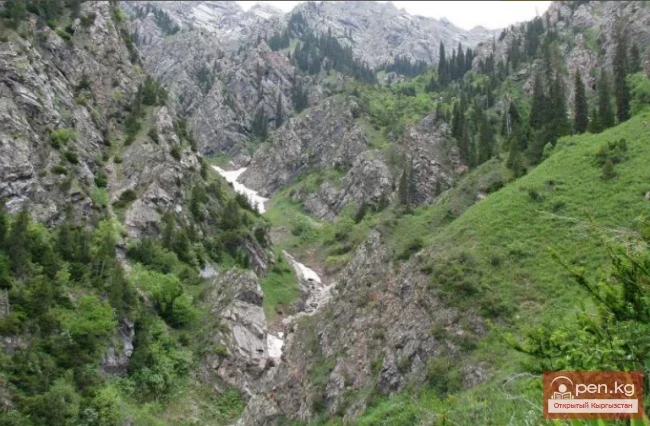
The valley of the Mynzhilki River is very beautiful with diverse vegetation. There are beautiful firs, fluffy spruces, and slender birches, as well as plenty of blackberries, raspberries, and currants. 15 km from its confluence with Padsha-Ata, there is a beautiful waterfall about 30 m high. Above it, the Mynzhilki River flows through a narrow canyon, the rocky walls of which rise to a height of up to 400 m and narrow to 10 m, forcing the water to break through the debris with force.
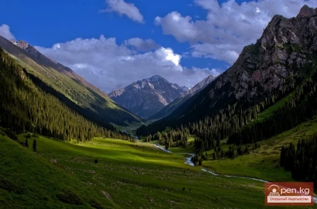
From the mouth of Mynzhilki, the Padsha-Ata River is again squeezed by gorges until the mouth of another tributary, Chetty-Sai. In the middle mountain forest belt at an altitude of about 2100 m above sea level, the river spreads across a wide glade where a beautiful spruce grove grows.
Of great interest is the confluence of the two rivers forming Padsha-Ata — the rivers Kashka-Suu and Muztor. Here, a sheer stone wall rises, transitioning at the water's edge into a steep, brightly green grassy slope with numerous clumps of shrubs and huge cypress-like firs.
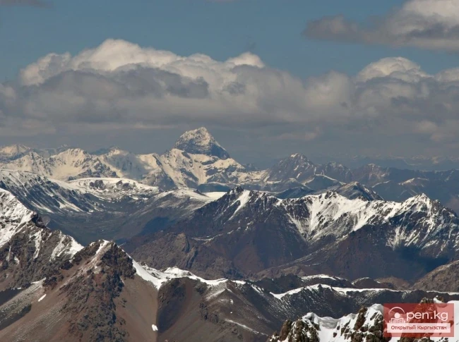
The Kashka-Suu valley is wide with gentle, vegetation-free slopes. In the area of the river's source, there is a huge rocky cirque with large snowfields, numerous scree slopes, and a small glacier. To the north, three proud peaks rise, each over four kilometers high.

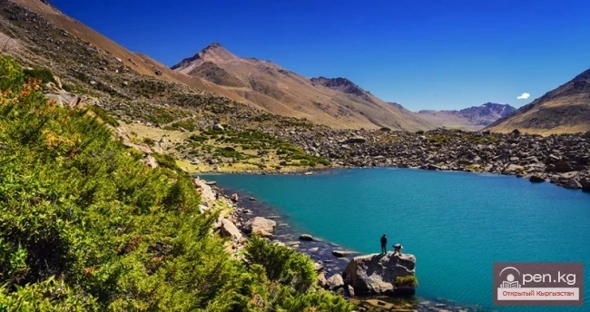
Muztor and its tributary Shaarsai flow almost entirely through narrow gorges, occasionally disappearing among numerous stones. The right bank of Muztor up to an altitude of 2700 m is covered with dense spruce-fir forests. In the ridge zone at the lower part of the glacier, there is an interesting moraine lake.
Most of the basin of the right tributary of Padsha-Ata — Chanacha — is occupied by bare rocks and gravel screes. Only a small part of it is covered by forests.
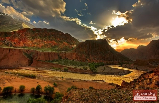
The "Padsha-Ata" zone is the site of the most active thunderstorm activity in the republic. On average, there are up to 50 days with thunderstorms here each year. A typical scene for this zone is as follows... Puffy clouds, heavy with moisture, glide over the valley like the run of a trotter. In the fluffy dense spruce forest, the reddish-brown trunks of firs rarely shine through. The sky presents a fantastic rebellious spectacle. Above the ridge, deafening rolls of thunder echo. Dark blue clouds are pierced by jagged lightning, illuminating the enchanting views of the surrounding slopes... The thunderstorm passes. Under the gentle whistle of the wind, light tampons of clouds swirl. They are soaked with the raspberry hues of sunset. A seven-colored rainbow has thrown a humped bridge over the gorge.
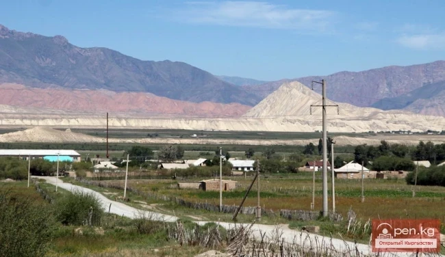
On the way to the zone, one can visit the Karavanokoe settlement, located west of the modern buildings of the village of Karavan, closer to the Padsha-Ata River, representing scattered debris. This city emerged in the Middle Ages on the ancient caravan route from Central Fergana to Chatkal and Tien Shan.