Relict Nut and Fruit Forests of Arslanbob

admin National parks and reserves
VK X OK WhatsApp Telegram
Relict walnut-fruit forests of Arslanbob

Arslanbob Massif


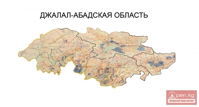
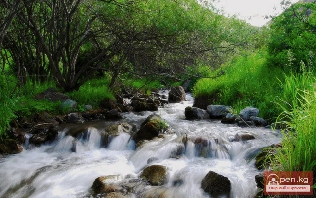
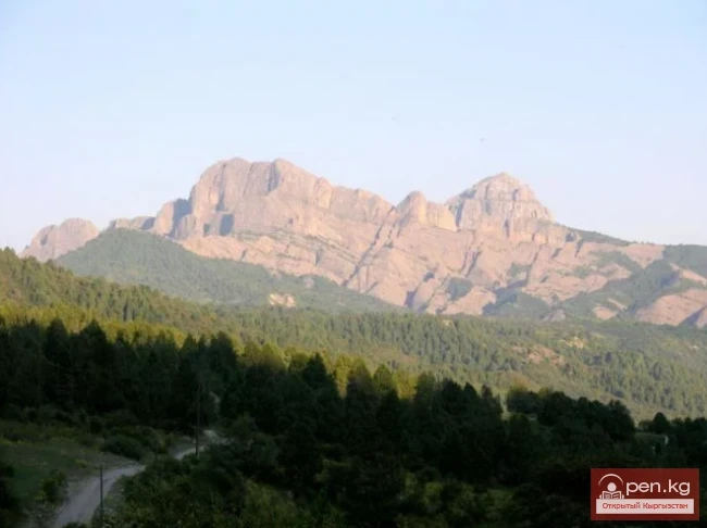
The extensive relict massif of wild walnut forests, preserved since ancient times, is a unique natural monument of global significance. This forest massif occupies the foothills of the Fergana Range, which borders the Fergana Valley from the north. According to scientists, the forests originated in the Cretaceous period, which lasted 70 million years. This was followed by the Tertiary period, which lasted another 60 million years. At the beginning of the Tertiary period, the forests began to transition into a relict state. During the glaciation, they formed within their current boundaries and have remained on Earth only here.

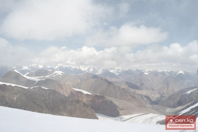
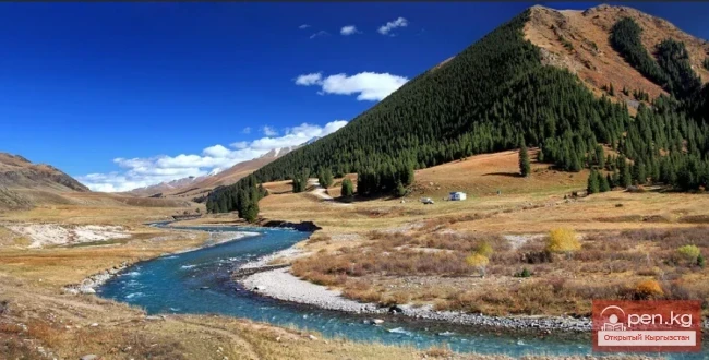
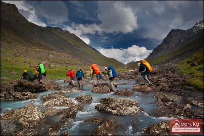
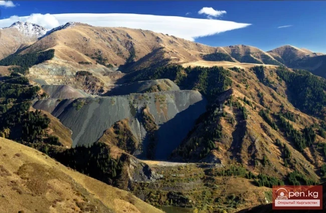
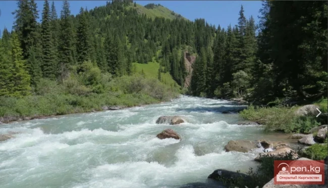
The forests and woodlands occupy the slopes of all exposures, but the main part is concentrated on the northern, northeastern, and northwestern slopes at altitudes of 1200-2100 meters above sea level.

In terms of the area occupied, richness, and diversity of woody-shrub vegetation and wildlife, these forests are unparalleled in the world.

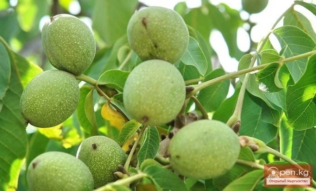
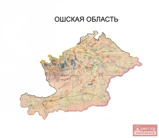
The area occupied by walnut-fruit forests is 230 thousand hectares, with walnut plantations forming four distinct massifs.

Arslanbob Massif is the largest of them (11 thousand hectares), covering the basin of the Tentyak-Sai River and its tributaries. The Kugart massif (7.5 thousand hectares) occupies the upper reaches of the Kugart-Su River. Here, on the Fergana Range, in the upper reaches of the Yassy River basin, lies the Uzgen massif (2 thousand hectares). The Khoja-Atyn massif (7 thousand hectares) occupies the southeastern foothills of the Chatkal Range.

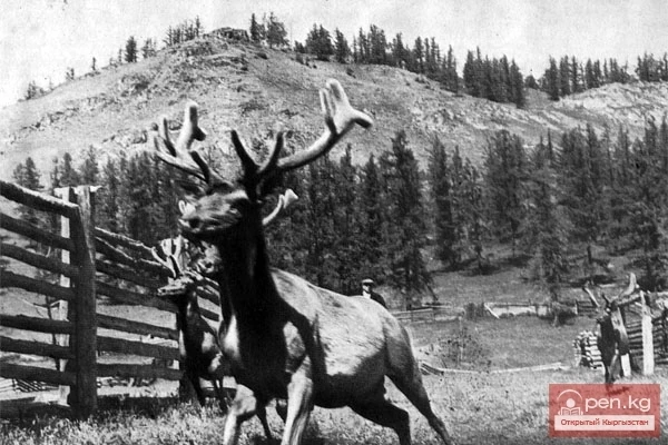
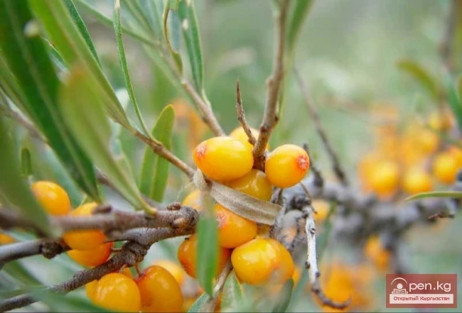
The natural composition of these forests is diverse: wild apple trees, pears, plums, cherries, and other fruit trees and shrubs, but the predominant species is the walnut. The very name "walnut" is a clear misunderstanding. In Greece, this nut has never grown in the wild; its homeland is our southern forests. Its scientific Latin name, Juglans regia - royal walnut - better corresponds to the species and significance of this tree.
VK X OK WhatsApp Telegram

Read also:

Gava-sai Gorge

Gava-sai Gorge

Gava-Sai Gorge is a right tributary of the Kara-Unkur River, located 20 kilometers northwest of...

Kyzyl-Unkyur

Kyzyl-Unkyur

The "Kyzyl-Unkyur" Zone is located 15 km northeast of the village of Arslanbap in the...

Small Naryn

Small Naryn

Small Naryn encompasses the valley of the river of the same name, located between the ridges of...

Zone "Yassy"

Zone "Yassy"

The Yassy Zone occupies the valley of the same name, located near the city of Uzgen, 80 km from...

Zone "Aflatun"

Zone "Aflatun"

Aflatun Zone is located on the southeastern slopes of the Chatkal Ridge and occupies the basin of...

Kara-Suu

Kara-Suu

The "Kara-Suu" Zone is located in the eastern part of the southern slope of the Chatkal...

Fergana Range

Fergana Range

Fergana Ridge A mountain range in the Tien Shan that stretches from southeast to northwest,...

Zone "Talas"

Zone "Talas"

The "Talas" zone is located in the central part of the Talas River valley and includes...

Kuylytau Ridge

Kuylytau Ridge

Kuylytau A mountain range in the Central Tien Shan, in Kyrgyzstan. It is located between the...

Jalal-Abad Region

Jalal-Abad Region

The Jalal-Abad Region was established on November 21, 1939. From January 27, 1959, it became part...

Zone "At-Bashi"

Zone "At-Bashi"

The At-Bashi Zone includes the Atbashi-Karakoyun Valley. The center of the zone, the village of...

Talas Ridge

Talas Ridge

Talassky Ala-Too A mountain range located in the Western Tien Shan system. Most of it is situated...

Kek-Art

Kek-Art

The "Kek-Art" Zone encompasses the surroundings of the city of Jalal-Abad, as well as...

Upper Naryn

Upper Naryn

Upper Naryn includes the upper part of the Naryn River basin from the vicinity of the town of...

Lake Sary-Chelek

Lake Sary-Chelek

Geographical Information: An astonishingly beautiful corner of nature in southern Kyrgyzstan at an...

Forests of Kyrgyzstan

Forests of Kyrgyzstan

A lonely tree does not make a forest. At least, this is what a Kyrgyz folk proverb says. And...

Kungey-Alatau Ridge

Kungey-Alatau Ridge

Kungey-Alatau To the south of the Zailiysky Alatau, beyond the deep longitudinal valleys of the...

Glaciers of Kyrgyzstan

Glaciers of Kyrgyzstan

The territory of Kyrgyzstan is predominantly mountainous, with peaks almost everywhere reaching...

Canyons of Konorchek

Canyons of Konorchek

Canyons of Konorchek occupy the eastern part of the Kyrgyz Ala-Too, covering a vast territory....

Ala-Archa National Park

Ala-Archa National Park

In the ridges of the Kyrgyz Ala-Too, there are 480 glaciers. The largest of them are located in...

Valley of Ak-Tyuz

Valley of Ak-Tyuz

Ak-Tyuz - "White Valley" The Ak-Tyuz Valley is located on the southwestern slopes of the...

Osh Region

Osh Region

The Osh Region was established on November 21, 1939, replacing the former district. After numerous...

Zone "Chatyr-Kel"

Zone "Chatyr-Kel"

The Chatyr-Kel Zone includes a significantly elevated intermountain basin with a lake of the same...

Natural Park "Besh-Tash"

Natural Park "Besh-Tash"

Besh-Tash Nature Park is located south of the city of Talas on the northern slopes of the Talas...

Tyup Nature Reserve

Tyup Nature Reserve

Bountiful Tyup The Tyup district is located 20 kilometers from Karakol. It is situated in the...

Zone "Tar"

Zone "Tar"

The "Tar" zone includes the valley of the river of the same name and its tributaries. In...

"Orto-Tokoy Zone"

"Orto-Tokoy Zone"

The Orto-Tokoy Zone encompasses the territorial foothills at the western end of the Terskey...

Kgety Waterfall

Kgety Waterfall

Big Kegety Waterfall The waterfall is located in the Kegety Gorge, which is in the Chuy region, 18...

Aksai Glacier

Aksai Glacier

Ak-Sai Glacier The glacier is located 40 km from Bishkek in the picturesque Ala-Archa gorge at an...

Write a comment: