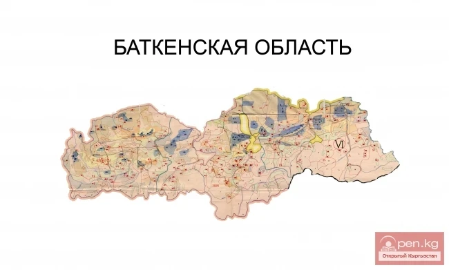
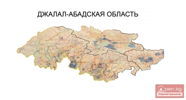
The Osh Region was established on November 21, 1939, replacing the former district. After numerous reorganizations, the current territory of the Osh Region occupies the southern part of the country and borders the Batken Region to the west, the Jalal-Abad Region to the north, the Naryn Region to the northeast, China to the east, Tajikistan to the south, and Uzbekistan to the northwest. The region includes 7 districts: Aksy, Aravan, Kara-Kulja, Kara-Suu, Nookat, Uzgen, and Chon-Alai, as well as 3 cities: Osh, Kara-Suu, and Uzgen. The total area of the region is 29,200 square kilometers (14.7% of the entire territory of the republic). The population is 1,176,000 people (23.2% of the republic's population).
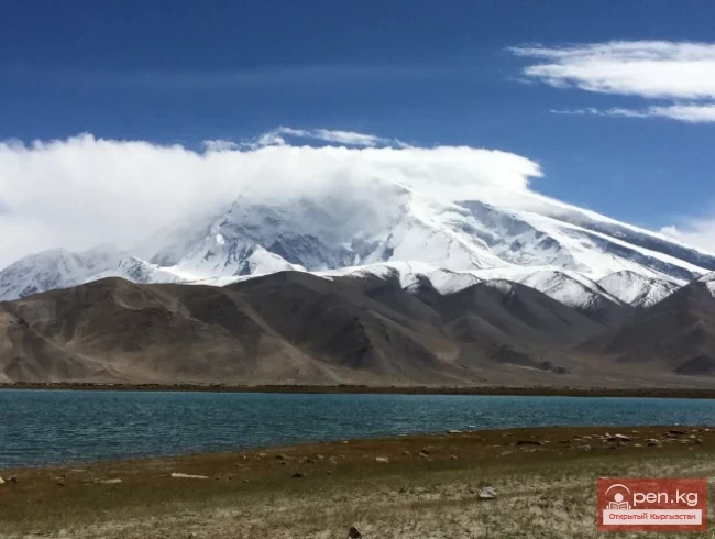
A significant part of the region's territory is covered by the Pamir-Alai and Western Tien Shan mountains. Elevation varies from 500 meters in the north to 7000 meters in the south. In the southern part of the Osh Region, there are ridges belonging to the Pamir-Alai mountain system. The Aksy and Chon-Alai ridges form the high-altitude Aksy Valley (3000 meters above sea level). The Western Tien Shan mountains include the Fergana and Alai-Kuu ridges. The highest point of the region is Lenin Peak (7134 m) - the second highest peak in Kyrgyzstan. The largest river in the region is the Kara-Darya, which merges with the Naryn River, forming the Syr Darya in Uzbekistan. The rivers originating from the Fergana Ridge are primarily fed by snow. The rivers that begin on the slopes of the Aksy Ridge are fed by glaciers. The rivers flowing through the Aksy Valley belong to the basins of the Amu Darya and Tarim. The region has more than 1,500 glaciers with a total area of 1546.3 square kilometers. The largest of them are: Korzhenevsky, Lenin, and Korumdu.
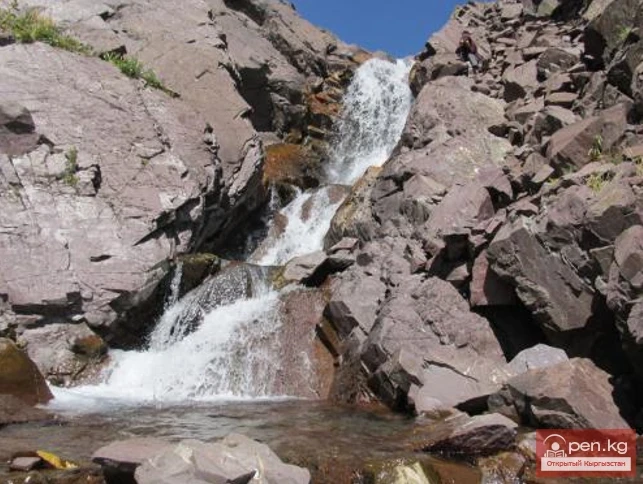
In the mountain gorges and valleys, there are more than 100 lakes and numerous waterfalls. The mountainous areas are famous for their stunningly beautiful caves, particularly abundant in the foothills of the Aksy Ridge. The flora and fauna of these places are characterized by significant species diversity, the presence of endemics, and relic species and forms.
Overall, the region has a continental climate. At an altitude of 600-1100 meters, the climate is warm semi-desert. Winters are moderately warm (average temperature in January is -3 to +4°C), and short. Summers are hot (average temperature in July is 24-25°C), and dry. The vegetation of the region also follows altitudinal zonation. In the north, in the foothills, at altitudes up to 1500 meters, there is a wormwood-ephemeral-saltwort semi-desert. In the high foothills and on the slopes of low mountains up to 2000 meters, there are feather grass and fescue steppes. Higher, at altitudes up to 3000 meters, there are juniper, maple, spruce, and nut forests, as well as sparse forests. Above 3000 meters, subalpine meadows and meadow steppes begin, interspersed with rocks, where thickets of rose hips, honeysuckle, meadowsweet, sea buckthorn, and others are abundant.
The Osh Region has developed road and air transport. The transport and road network is quite developed. The city of Osh is home to one of the three international airports in the country. Daily flights to Bishkek and Batken are operated, weekly flights to Moscow and Novosibirsk, as well as charter flights to Beijing, Delhi, Pakistan, the UAE, and others.
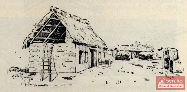
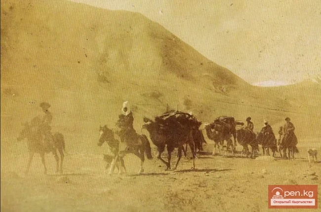
Written sources indicate that many centuries ago, the territory of the Osh and Batken regions was part of large ancient states: Dayuan, the Kushan Empire, and the Karakhanids, which included about a hundred cities and were distinguished by a high level of culture. Many ancient settlements and fortresses are scattered across the region.
Attractions of the city of Osh
The city of Uzgen
Natural and ecological complexes:
Kozho-Kelen Natural and Ethnographic Complex
Kara-Shoro
Mountains:
Achyktash and Korumdy
Waterfalls:
Abshir-Sai
National Parks and Reserves:
Kyrgyz-Ata Natural Park
Caves:
Caves of the Osh Mountains
Attractions:
Suleiman Mountain (Throne of King Solomon)
Rinat Abdullakhan Mosque
Single-Chamber Mosque of Takhti-Suleiman
Historical and Architectural Complex of Uzgen