Kara-Kul

admin Kara-Kul
VK X OK WhatsApp Telegram
Kara-Kul

Kara-Kul is a city in the Jalal-Abad region of Kyrgyzstan.
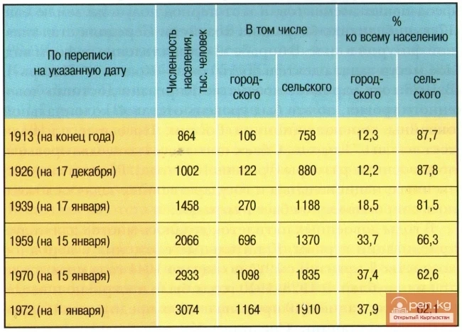
According to the 2009 census of Kyrgyzstan, the population of the city was 22,502 people, including Kyrgyz — 21,217 people or 94.3%, Russians — 771 people or 3.4%, Uzbeks — 143 people or 0.7%, Tatars — 141 people or 0.7%.[1]
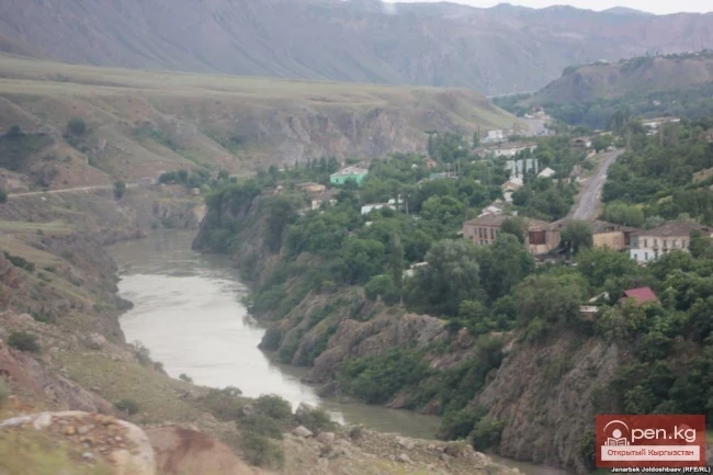
It is located near the confluence of the Kara-Su River into the Naryn River, on the Bishkek — Osh highway, 78 km from the railway station of Tash-Kumyr (the terminus of the branch from Uchkurghan).
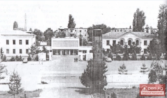
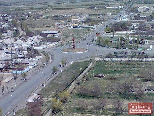
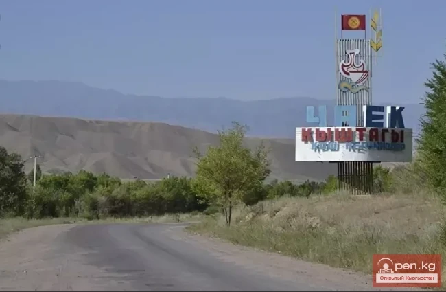
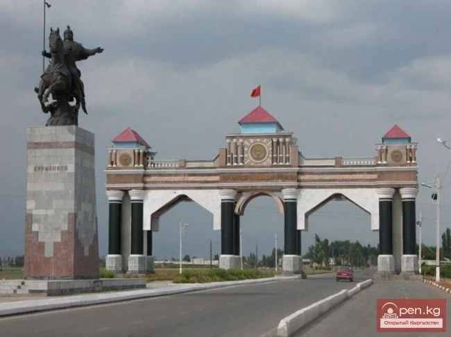
It was established on June 16, 1962, as a settlement for hydro builders of the largest hydroelectric complex in Central Asia, the Toktogul Hydroelectric Power Station. It is located in the mountainous and rugged terrain of the Jalalabad region, along the Bishkek-Osh highway, 175 km from the regional center, 400 km from the city of Bishkek, and 75 km from the railway station. The administrative territory of the city borders to the north and east with the Toktogul district, to the south with the Nooken district, and to the west with the Aksy district. By the decree of the Presidium of the Supreme Soviet of the Kyrgyz SSR dated January 7, 1977, the settlement was transformed into the city of Kara-Kul of regional subordination.
In translation from Kyrgyz, "Kara" means Black, "Kul" means lake, thus "Black Lake".
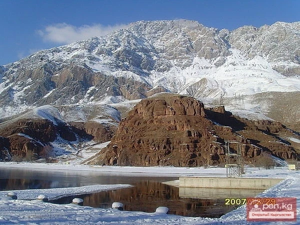
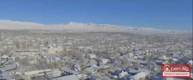
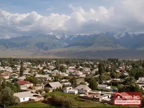
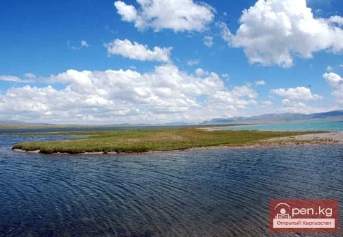
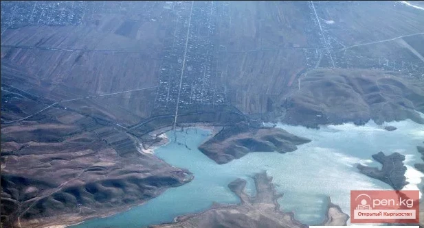
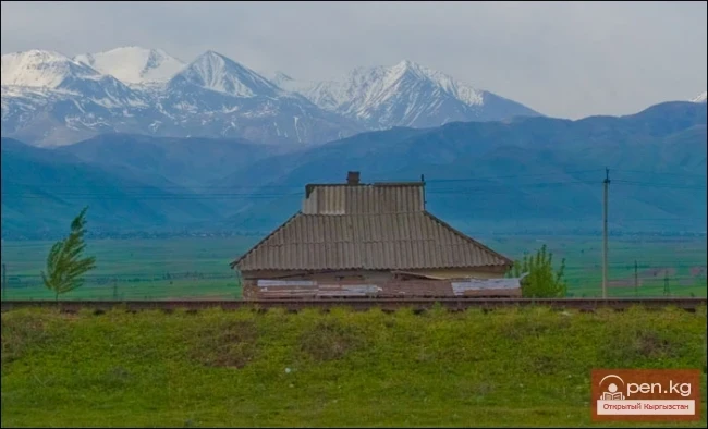
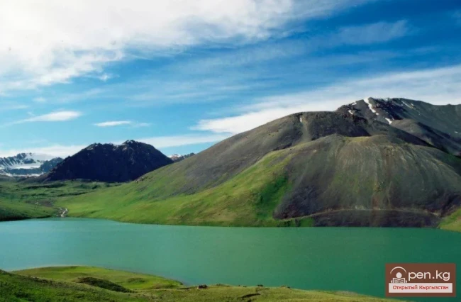
The city is located on terraces in a gorge, surrounded by mountains. There are three artificial lakes in the city: "Pioneer", "Komsomol", and "Quarry", as well as a reservoir and two lakes belonging to a fish farm.
Kara-Kul

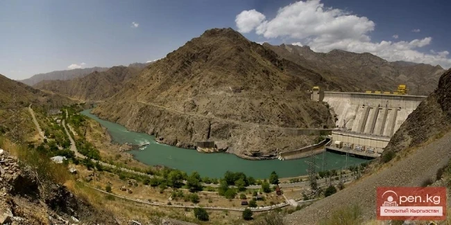
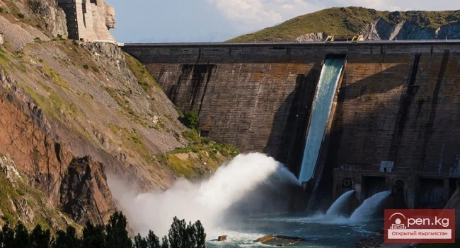
In close proximity to Kara-Kul, on the other side of the mountain range, there is a dam.
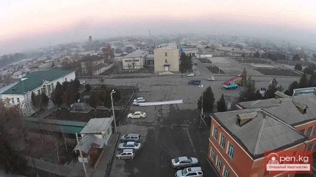
The city hosts large industrial enterprises, such as Cascade HPP, and the Joint Stock Company "Dostuk Plant". There are 4 schools in the city, as well as branches of the Bishkek Polytechnic Institute and a construction college.
After the collapse of the Soviet Union and the near-complete cessation of work on the construction of the cascade of hydroelectric power stations, some enterprises in Kara-Kul were closed, while others were repurposed. Currently, the only successful enterprise in the city remains the energy-producing company Cascade HPP, which operates the Naryn hydroelectric stations.
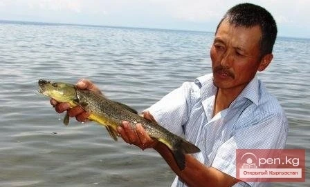
The long-term development of tourism envisions transforming tourism into a priority sector of the economy. To support and develop the leisure sector, organize recreation for the city's population and visiting guests, the recreation bases of Kara-Kul are mainly located on the shores of the Toktogul reservoir, including those of JSC "GM", JSC "SGEM", JSC "KGSS", Cascade HPP, Dostuk Plant, DEP-30, JSC "NGES", ATP, and UOS.
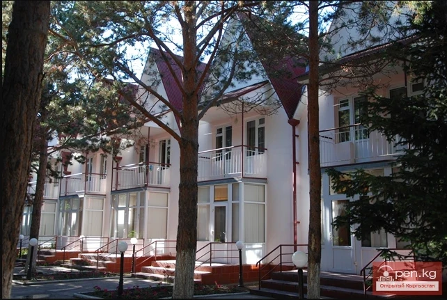
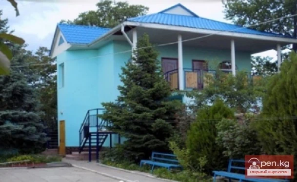
In Kara-Kul, there is a hotel complex called "Tourist", which is managed by KTGES. The hotel currently has 30 beds, a café-bar, and a sauna. The hotel rooms include luxury, semi-luxury, double, and triple rooms equipped with telephone communication.
Visiting guests have the opportunity to visit various cafés and bars, including the "Edelweiss" café (60 seats), "Cholpon" café (50 seats), and "Yrysqy" café.
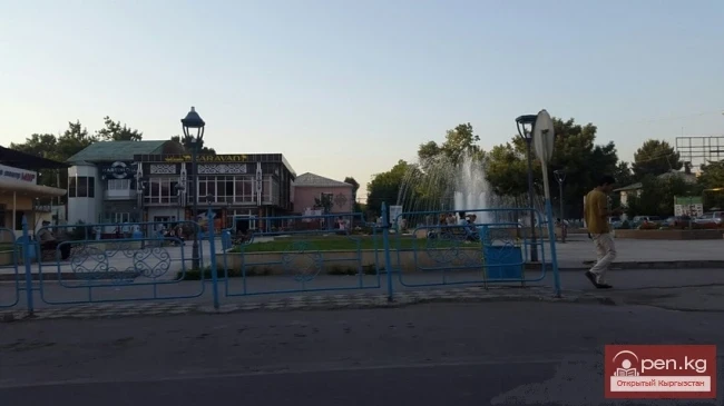
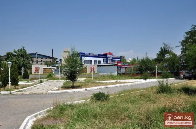
Among the entertainment youth centers in the city, there is a summer park of culture and recreation (the park features various gaming attractions, carousels, and catamarans). The House of Culture "Energetik" (disco, variety concerts, modern dance groups). Advertising billboards, panels, and banners promoting hospitality and tourism are installed within the city and surrounding areas.
VK X OK WhatsApp Telegram

Read also:

Toktogul

Toktogul

The urban-type settlement Toktogul is located in the Toktogul district of the Jalal-Abad region of...

Sulyukta

Sulyukta

Sulyukta is a city of regional subordination in the Batken region of Kyrgyzstan. Population (2009)...

Kant

Kant

The city of Kant is a city of district subordination. In Kyrgyz, "kant" means sugar; the...

City of Kerben

City of Kerben

The city of Kerben is located in the center of the Aksy district, at an altitude of 1200 meters...

Kara-Balta

Kara-Balta

Kara-Balta, which translates as "Black Axe," is one of the youngest cities in the Kyrgyz...

City of Kara-Suu

City of Kara-Suu

The city of Kara-Suu serves as the administrative center of the district of the same name. It was...

Tash-Kumyr

Tash-Kumyr

The first settlements in the current location of the city of Tashkumyr appeared during the...

Batken

Batken

Batken is a city in Kyrgyzstan, the administrative center of Batken Region and District. The...

Tokmok

Tokmok

Tokmok (Kyrgyz: Токмок) is a city in Kyrgyzstan, the administrative center of the Chuy Region. It...

City of Shopokov

City of Shopokov

The city of Shopokov is located at the northern slope of the Kyrgyz Range at an altitude of 740...

Kyzyl-Kiya

Kyzyl-Kiya

Kyzyl-Kiya is a city of regional subordination in the Batken region of Kyrgyzstan. Population...

City of Nookat

City of Nookat

The city of Nookat is located in Kyrgyzstan and is the center of the eponymous district of the Osh...

The Village of Chaek

The Village of Chaek

Chayek – Agricultural Settlement The village of Chayek is the center of the Jumgal district in the...

Lake Son-Kul

Lake Son-Kul

Geographical Information: Song-Kul (possible variants of Russian spelling: СОНКЁЛЬ, Сонг-Кёль,...

Kara-Suu

Kara-Suu

The "Kara-Suu" Zone is located in the eastern part of the southern slope of the Chatkal...

Uch-Kurgan Reservoir

Uch-Kurgan Reservoir

Uch-Kurgan Hydroelectric Power Station — a hydraulic engineering structure, a run-of-river...

Osh Region

Osh Region

The Osh Region was established on November 21, 1939, replacing the former district. After numerous...

Kemin

Kemin

Kemin is a city in Kyrgyzstan. It is the administrative center of the Kemin District in the Chuy...

Kenesariyev Tashmanbet

Kenesariyev Tashmanbet

Kenesariyev Tashmanbet (1949), Doctor of Historical Sciences (1998), Professor (2000) Kyrgyz. Born...

Kara-Tor Waterfall

Kara-Tor Waterfall

Kara-Tor Lower Waterfall In the Naryn region of the Kochkor district, in the upper reaches of the...

Naryn Region

Naryn Region

The Naryn Region is located in the southeast of Kyrgyzstan and was first established on November...

City of Aydarken

City of Aydarken

Aydarken – a small town and industrial center in the central part of the Batken region. The...

Lake Teshik-Kul

Lake Teshik-Kul

Lake Teshik-Kul (also Teshik-Köl) — is a hard-to-reach high-altitude lake It is located at an...

The City of Orlovka

The City of Orlovka

Orlovka — a city in the Kemin District of the Kyrgyz Republic. The status of a city was granted to...

River Karakulja

River Karakulja

Karakulja The Chatkal River in its upper reaches is called Karakulja (translated - Black Ram),...

Kara-Archa Waterfall

Kara-Archa Waterfall

Kara-Archa Waterfall - left tributary of Kegety (Chui region) Coordinates: 42.504977, 75.069273...

Jalal-Abad

Jalal-Abad

The city is located in the foothills of the Tien Shan mountain range at the foot of the small...

City of Balykchy

City of Balykchy

On the western shore of Lake Issyk-Kul, at the junction of the roads Bishkek — Naryn and Bishkek —...

Write a comment: