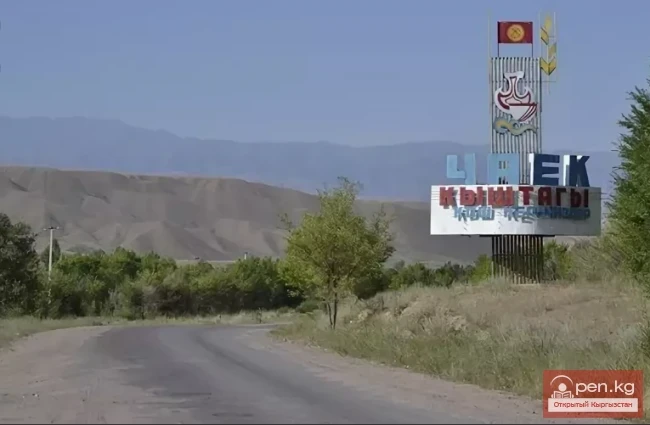
At-Bashi - translated from Kyrgyz as "Horse's Head"
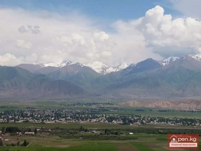
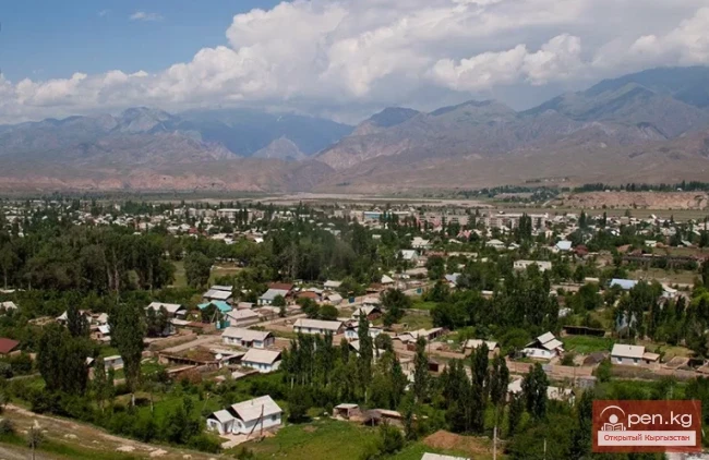
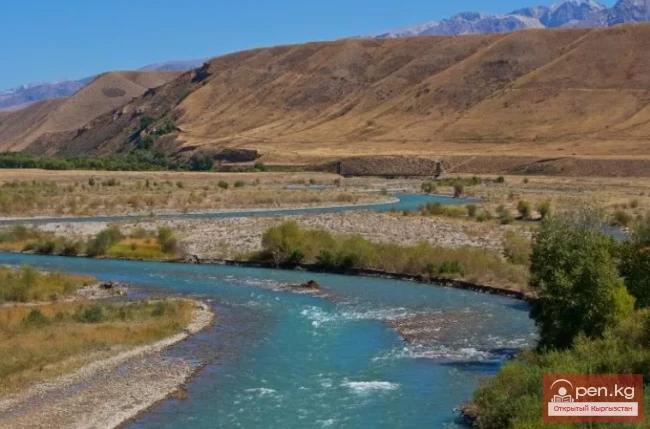
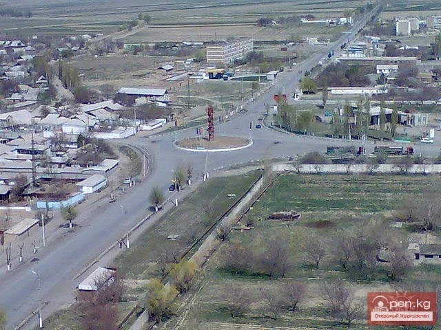
At-Bashi (Kyrg. Ат-Башы) is a rural settlement (kyshtak[ky]), as well as the administrative center of the eponymous district in the Naryn region of the Kyrgyz Republic. The village is located at the northern foothills of the At-Bashi ridge in a vast basin formed by the confluence of the Kara-Koyun and At-Bashi rivers, at an altitude of 2060 m above sea level. The village lies along the Balykchy – Naryn – Torugart Pass highway, 40 kilometers southwest of the regional center, and 226 km from the railway station in the city of Balykchy. It was founded in 1929. According to the census conducted in 2009, the population was 10,764 people. Currently, according to the RPO RMT, it is 11,861.
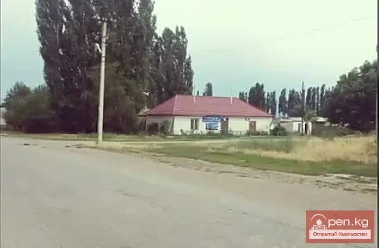
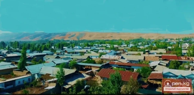
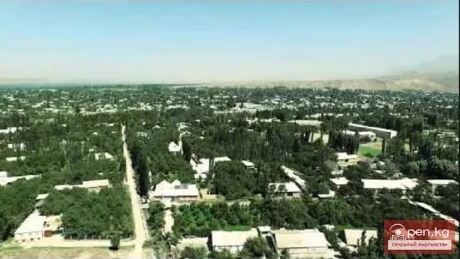
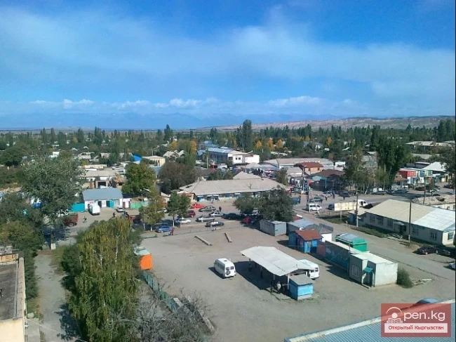
At-Bashi stretches along the right bank of the river and is supported from the north by the sharp peaks of the Naryn Tau ridge. All the free space in the vicinity is occupied by arable land and pastures. The village itself consists of one-story (occasionally two-story) buildings. At-Bashi has a bustling market where mainly agricultural products are sold.
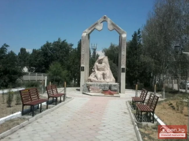
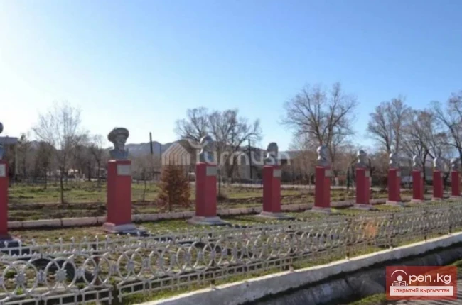
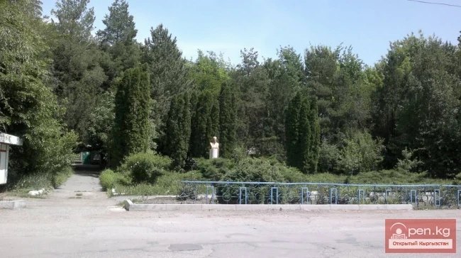
In At-Bashi, there are a brick factory, a bakery, 3 secondary schools, a boarding school, a kindergarten, vocational school No. 32, a polyclinic, a hospital, a cultural center, a post office, a cafeteria, cafes, sports facilities, a mineral water plant, service industry units, as well as 59 private organizations. A monument to border guards has been erected. On the territory of the rural settlement, along the trade route from Bishkek to Kashgar, there is a caravanserai. In its time, the Great Silk Road passed through At-Bashi. A temporary road from Bishkek to Torugart operates in the area of the settlement.

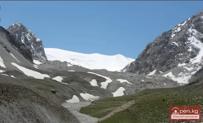
At-Bashi serves as a transit point for those heading towards the Heavenly Lake – the high-altitude Chatyr-Kul (3520 meters above sea level) – and the Torugart Pass at the border with China. Nearby At-Bashi are the ruins of the medieval fortress Koshoy-Korgon. In the village itself, a monument in the form of a horse's head lowered to the ground deserves attention, symbolizing the historical roots of the Kyrgyz people – mountain nomads.
One popular Kyrgyz legend tells of a shepherd who, after selling his livestock in the Andijan region (now in Uzbekistan), was returning home. Tired from the journey, he decided to spend the night on one of the jailoos (pastures), letting his horse go. When the man tried to call his horse the next day, it ran away. He chased after it, caught it, killed it, and cooked the meat. Leaving its head behind, he named the place At-Bashi - "Horse's Head." He ate horse meat all the way home. The place where he ate the last piece he named Naryn, after the dish he prepared – a hearty soup with thinly sliced pieces of meat. If you find these places on the map, you will see that they are quite far apart, as the shepherd traveled a long distance to sell his livestock and then chased after the runaway horse for quite a while.

The climate in At-Bashi is cold and temperate. The winter months are significantly rainier than the summer months. The average annual temperature is 10.7 °C. The average annual precipitation is 411 mm. August is the driest month, with 10 mm of precipitation.
Most of the precipitation falls in April, averaging 70 mm. July is the warmest month, averaging 24.4 °C. January is the coldest month, with average temperatures of -3.6 °C.