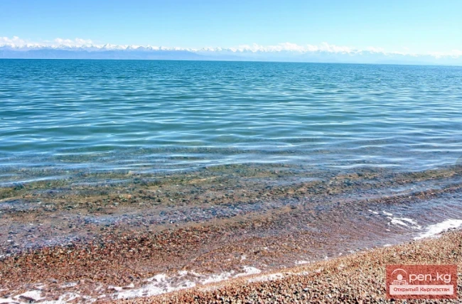
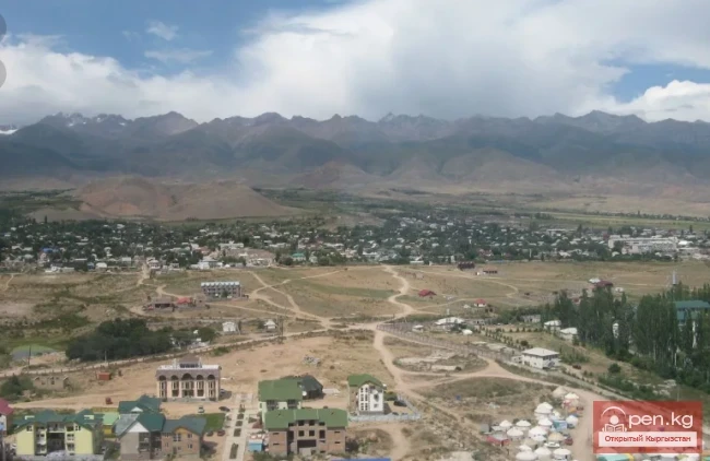
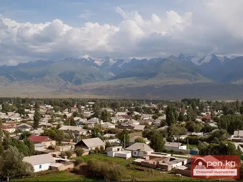
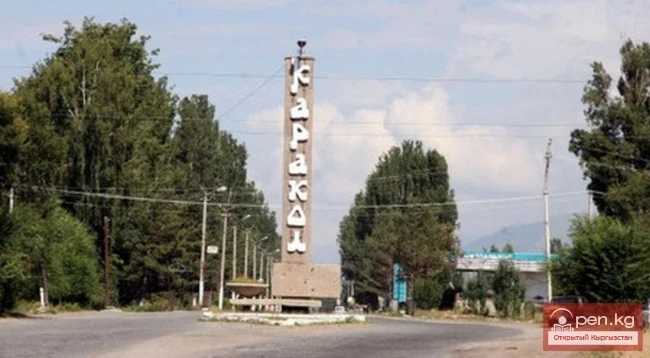
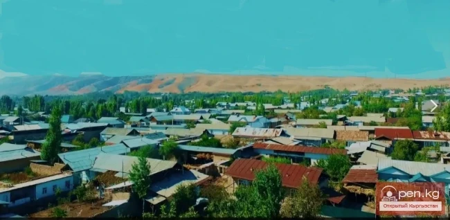
Tyup – a village and the center of the eponymous district in the Issyk-Kul region.
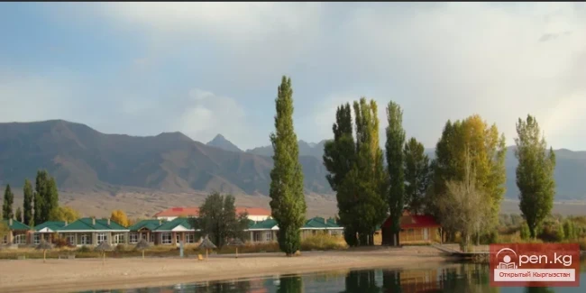
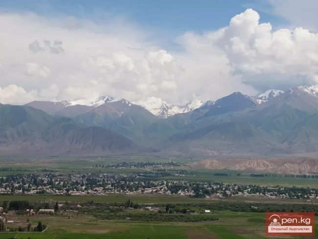
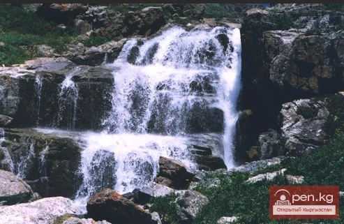
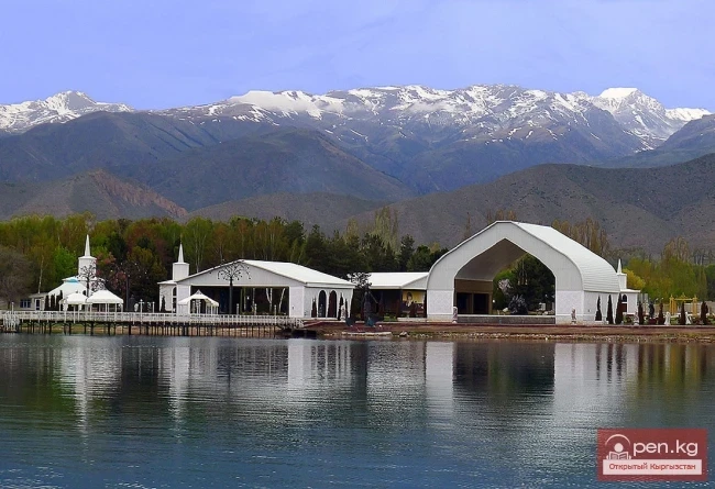
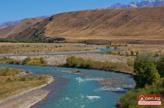
It is located at the extreme eastern tip of Issyk-Kul, at the mouth of the Tyup River (the second largest tributary of the lake), which meanders significantly here, forming old riverbeds and marshy areas. Tyup lies 27 kilometers from Karakol, which is connected by a road. To the north of the village stretches a protected area – one of the sections of the Issyk-Kul Nature Reserve.

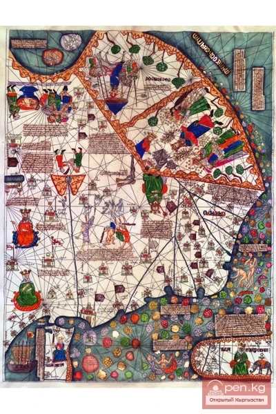
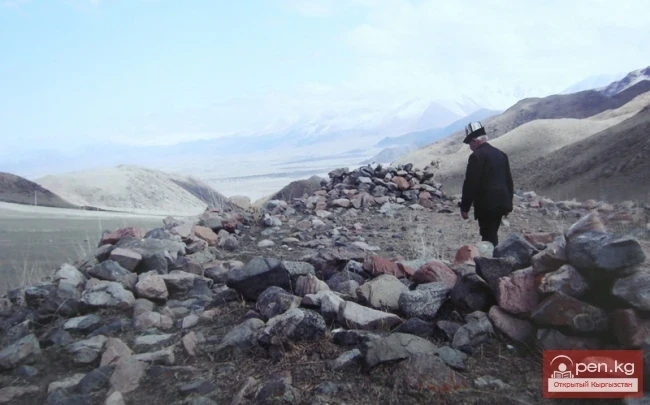
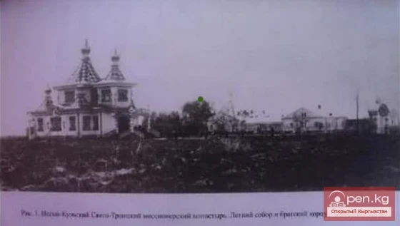
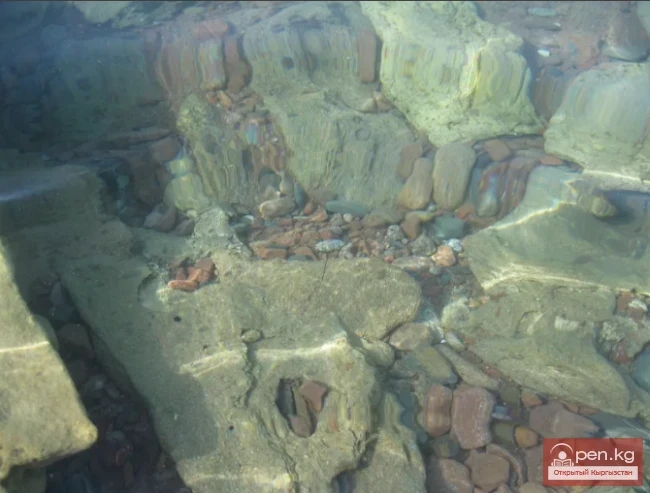
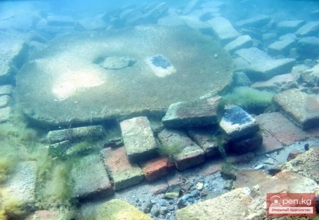
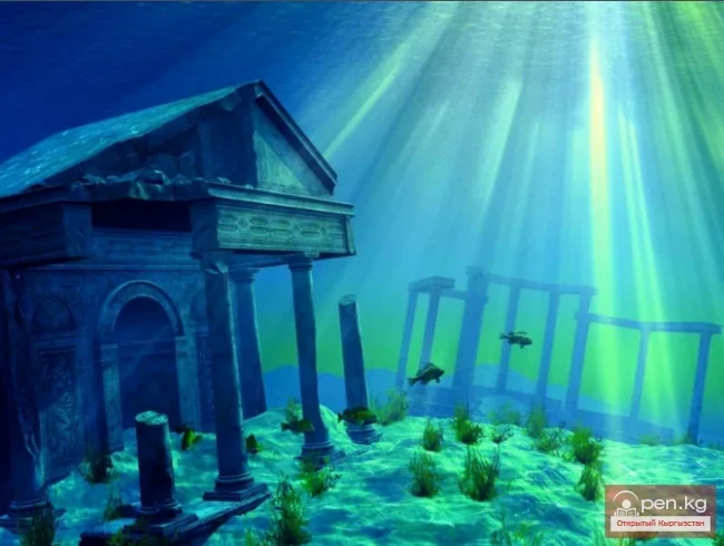
Tyup was founded by Russian settlers in 1869 under the name Preobrazhenka as a settlement in the Semirechye region. However, the history of this area has deep roots. According to Christian tradition, the relics of the Apostle Matthew are said to rest somewhere in the vicinity of Tyup. The followers of the apostle buried him in a place "where the foot of a Roman legionnaire had not trodden." Here once stood a monastery of Armenian brothers, later submerged by the waters of Issyk-Kul.
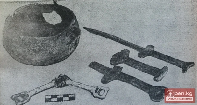
It was here that the body of the saint was kept. Official excavations and studies have not been conducted as such, but representatives of the Vatican have even visited this site. Additionally, according to legend, the sunken monastery is known for its treasures. In any case, ancient artifacts are regularly found in the Tyup area.

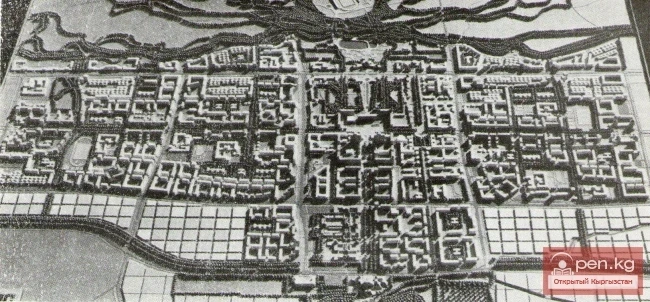
The history of the settlement of Tyup spans only a few decades. Initially, the area was named the settlement of Preobrazhensky, and only much later was it renamed to Tyup. The characteristic features of the region's development were laid out in the master plan for the development of the Tyup area, developed in 1961 by the "Kyrgyzgiprostroy" institute. The main contributor to the document was architect A. N. Marchenko.
The development plan only addressed the central part of the district, not touching upon the nearby lands of the "Zarya" collective farm.

It was according to the main goals and objectives that this quiet, unremarkable corner on the shores of Issyk-Kul developed for a long time.
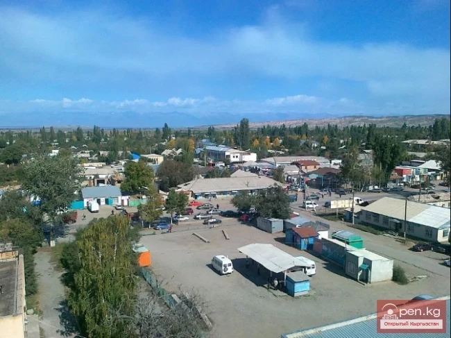
Very soon, the territory of the region began to be divided into a production zone and residential quarters. It was the quarters that were developed for the young and promising settlement. The central street, both during the Soviet era and now, has been Lenin Street (currently Borombay Street). In 1978, adjustments were made to the construction plan, prompted by earthquake threats. Once again, the "Kyrgyzgiprostroy" institute was tasked with developing detailed proposals. An architectural team consisting of N. V. Karpenko, E. N. Afonin, and O. G. Samoylenko took on the task.

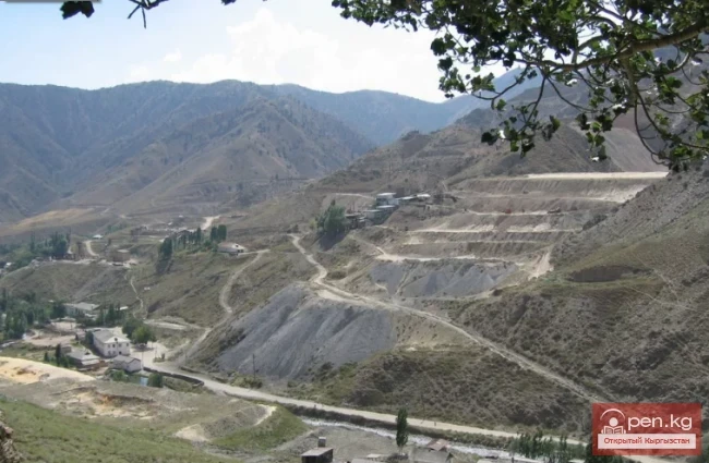
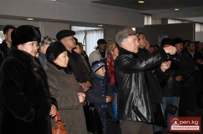
The economy of the Tyup district is represented by local industry and livestock enterprises. The entire area of the district is divided into the dominant industrial sectors of the region: residential, warehouse spaces, and living zones. Transportation, which mainly consists of freight transport, is located outside the main quarters. Great attention was paid to park areas, cultural recreation spots, boulevards, and squares. At the turn of perestroika, the population of the Tyup district was over 11,000 people, and in 2009 it was 9,820.

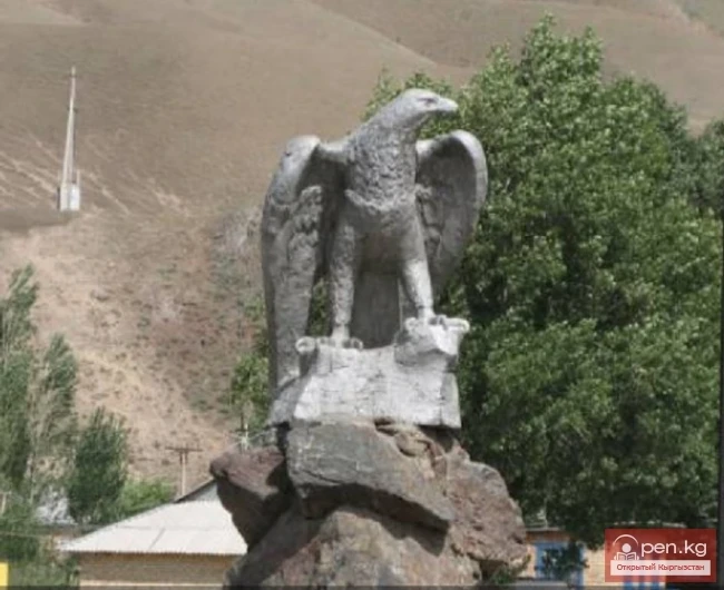
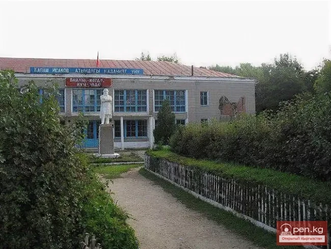
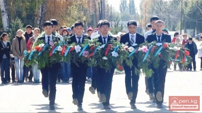
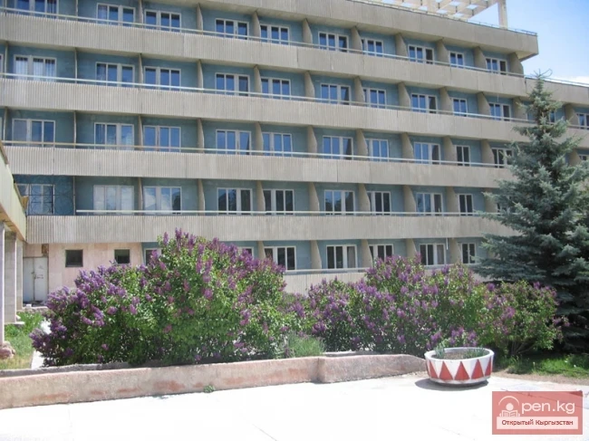
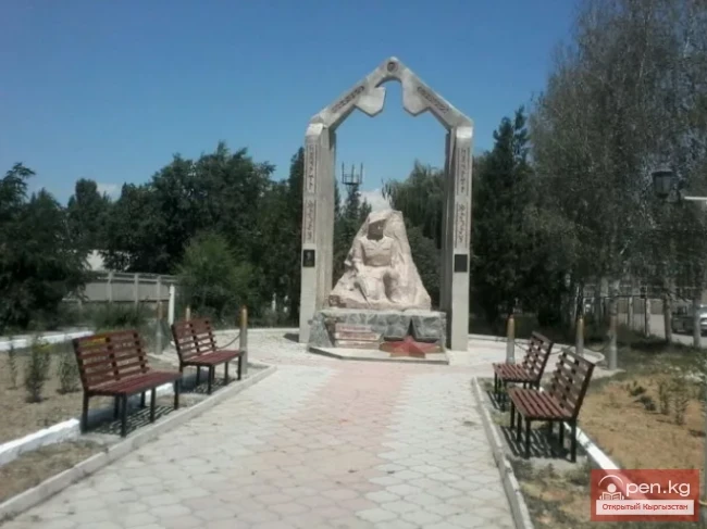
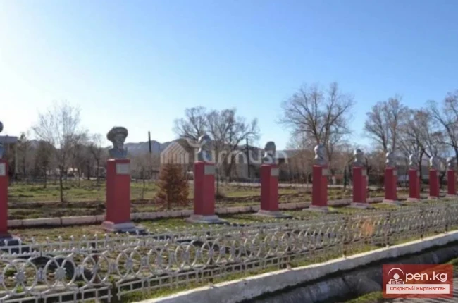
In the district, there are 2 secondary schools and one lyceum, a vocational technical lyceum, 2 kindergartens, and a district hospital. One of the attractions of the Tyup district is the monument in memory of those who died during the Great Patriotic War.

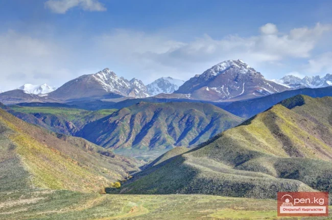
Unique natural features and rare biocommunities created the necessary prerequisites for the establishment of the Tyup Botanical Reserve in the middle part of the Tyup district, in the floodplain of the Tyup River in 1975. In 1975, by decree for the protection of the sprawling juniper based on the "Santash" state farm, a local significance protective object was initiated. On its territory, such plant species as willow, sea buckthorn, honeysuckle, barberry, and rare grass species that grow only in this area have been collected. The area of the reserve exceeds 100 hectares.