City of Aydarken

admin Batken Region / Cities
VK X OK WhatsApp Telegram
Aydarken City

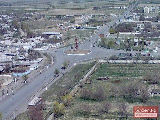
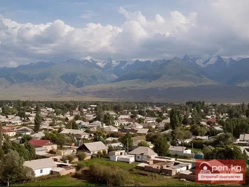
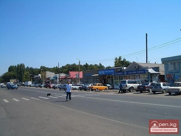
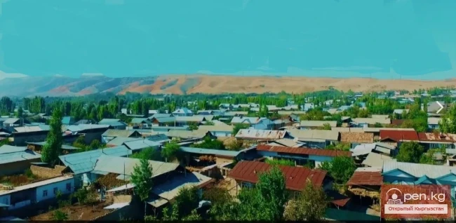
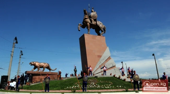
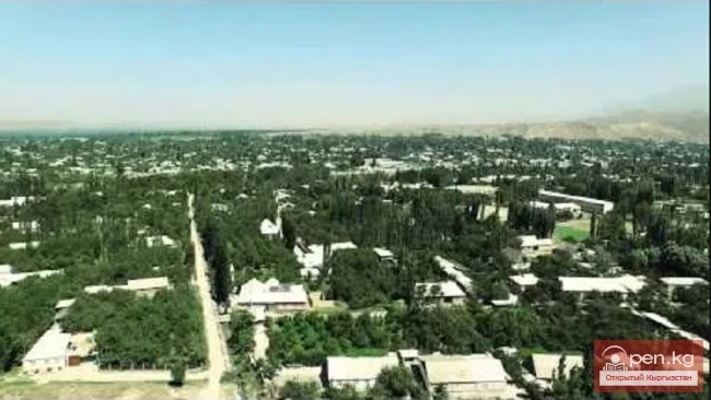
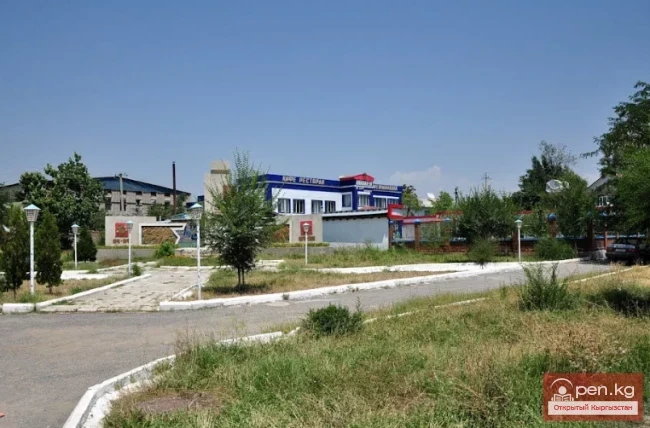
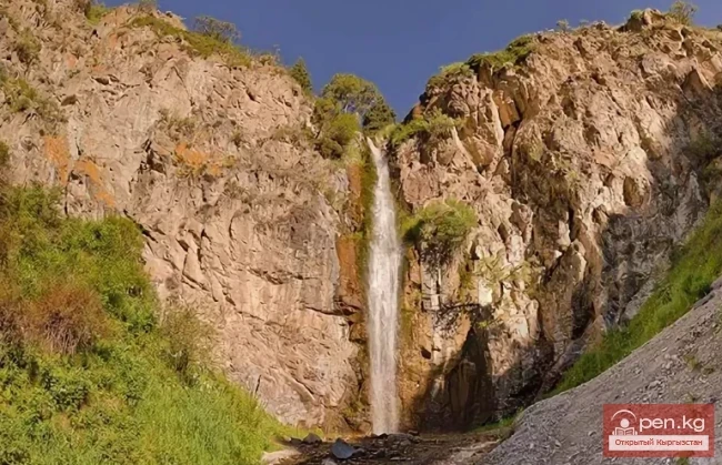
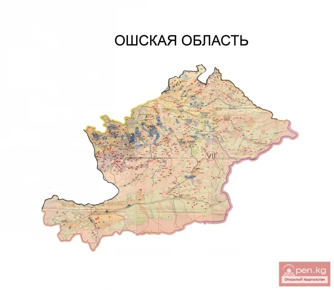
Aydarken – a small town and industrial center in the central part of the Batken region.


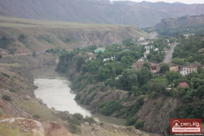
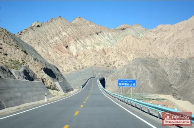
The population is 9,926 people (2017). It is located in a mountain plain basin (at an altitude of about 2000 meters), formed by one of the tributaries of the Ak-Suu River. The basin is surrounded by the mountains of the Alai Ridge. A road leads to Aydarken from the Fergana Valley, continuing towards Kanibadam. The district center is located 45 kilometers east of Aydarken.

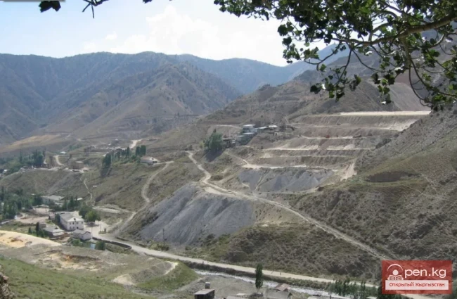
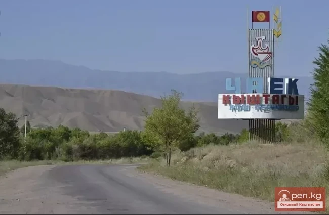
The town grew on the site of the Kyrgyz village of Haidarkan, based on the Haidarkan Mercury Plant (Plant No. 5), the construction of which began in 1941 at the Haidarkan deposit (discovered in 1926 by students V. I. Popov and V. E. Poyarkov, who worked as prospectors in the party of the "Rare Elements" trust) of mercury ores ("haidarkan" means "great ore mine"). However, even before the development of the deposit, there was a settlement of Kyrgyz herders of the same name.

By the law of the Kyrgyz Republic "On the Renaming of Certain Village and Settlement Councils, Towns of Urban Type, and Villages of the Kadamjay District of the Batken Region of the Kyrgyz Republic" No. 228 dated December 28, 2006, the village of Haidarkan was renamed Aydarken. In 2012, the urban-type settlement Aydarken was granted city status.

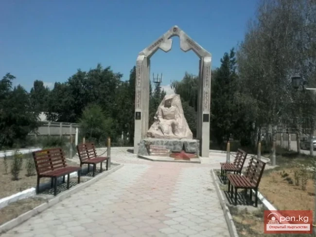
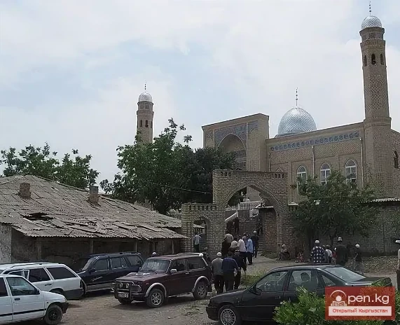
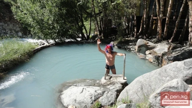
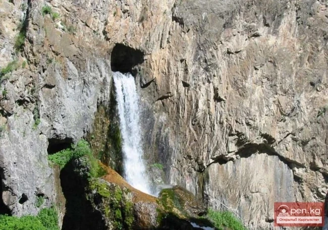
Aydarken is known for the Sel-Unkur Cave. In 1985, the oldest traces of humans in Central Asia were discovered there, with a multilayered site known for archaeological finds. The anthropological materials found by Soviet archaeologists in the cave (a skull, teeth (three upper incisors, three lower premolars), and a human humerus) were presumably interpreted as belonging to a human of one of the archaic erectoid forms. The somewhat controversial dating of the complex to over 1 million years ago has not been confirmed in light of recent data. Russian researchers date the teeth and humerus to about 126,000 years ago.

Today, Sel-Unkur is a tourist attraction.
VK X OK WhatsApp Telegram

Read also:

City of Kadamjay

City of Kadamjay

Kadamjay - "Holy Place". The emergence of the city of Kadamjay is linked to the...

Batken

Batken

Batken is a city in Kyrgyzstan, the administrative center of Batken Region and District. The...

Kyzyl-Kiya

Kyzyl-Kiya

Kyzyl-Kiya is a city of regional subordination in the Batken region of Kyrgyzstan. Population...

The Village of Gulcha

The Village of Gulcha

Gulcha – a village, the administrative center of the Aksy District. This is a comfortable,...

City of Shopokov

City of Shopokov

The city of Shopokov is located at the northern slope of the Kyrgyz Range at an altitude of 740...

Sulyukta

Sulyukta

Sulyukta is a city of regional subordination in the Batken region of Kyrgyzstan. Population (2009)...

Batken Region

Batken Region

The Batken Region was established on October 12, 1999, from the Osh Region. It includes the...

Toktogul

Toktogul

The urban-type settlement Toktogul is located in the Toktogul district of the Jalal-Abad region of...

Kemin

Kemin

Kemin is a city in Kyrgyzstan. It is the administrative center of the Kemin District in the Chuy...

The Village of Sokuluk

The Village of Sokuluk

Sokuluk – a large rural settlement It is the administrative center of the Sokuluk District. This...

The Village of Massy

The Village of Massy

Massy – a village, the center of the Nooken district. It is located 60 kilometers northwest of the...

Kant

Kant

The city of Kant is a city of district subordination. In Kyrgyz, "kant" means sugar; the...

Zone "Talas"

Zone "Talas"

The "Talas" zone is located in the central part of the Talas River valley and includes...

The City of Orlovka

The City of Orlovka

Orlovka — a city in the Kemin District of the Kyrgyz Republic. The status of a city was granted to...

The Village of Suzak

The Village of Suzak

The village and district center of Suzak is located at the foot of a low mountain range on the...

Tash-Kumyr

Tash-Kumyr

The first settlements in the current location of the city of Tashkumyr appeared during the...

Naryn

Naryn

This area includes the city of Naryn — a transport and distribution tourist center — and its...

City of Nookat

City of Nookat

The city of Nookat is located in Kyrgyzstan and is the center of the eponymous district of the Osh...

City of Kerben

City of Kerben

The city of Kerben is located in the center of the Aksy district, at an altitude of 1200 meters...

Tokmok

Tokmok

Tokmok (Kyrgyz: Токмок) is a city in Kyrgyzstan, the administrative center of the Chuy Region. It...

Kgety Waterfall

Kgety Waterfall

Big Kegety Waterfall The waterfall is located in the Kegety Gorge, which is in the Chuy region, 18...

The Valley of Chichkan

The Valley of Chichkan

The Chichkan River flows from the north into the Toktogul Reservoir. It is a small river with...

Dugoba

Dugoba

This area is located 40 km from the village of Kadamjay, where the best antimony in the world is...

Kyzyl-Unkyur

Kyzyl-Unkyur

The "Kyzyl-Unkyur" Zone is located 15 km northeast of the village of Arslanbap in the...

Alay Ridge

Alay Ridge

Alay Range A mountain range of the Pamir-Alai mountain system in Kyrgyzstan and partially in...

Abshir-Sai

Abshir-Sai

Abshir-Sai (Waterfall Gorge) is located in the mountain valley of the river of the same name,...

Osh Region

Osh Region

The Osh Region was established on November 21, 1939, replacing the former district. After numerous...

Zone "At-Bashi"

Zone "At-Bashi"

The At-Bashi Zone includes the Atbashi-Karakoyun Valley. The center of the zone, the village of...

The Village of Chaek

The Village of Chaek

Chayek – Agricultural Settlement The village of Chayek is the center of the Jumgal district in the...

Write a comment: