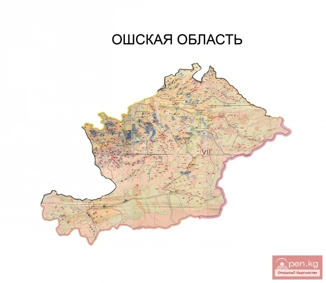
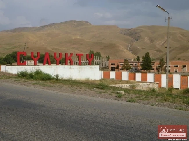
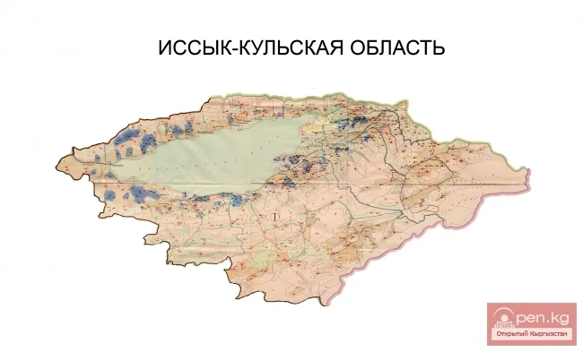
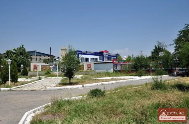
The Batken Region was established on October 12, 1999, from the Osh Region. It includes the Batken, Kadamjay, and Leilek districts, the cities of Kyzyl-Kiya, Sulyukta, Batken, Isfana, and 189 rural settlements. The regional center is the city of Batken. The territory of the region is located in the southwest of the country, with 3/4 of its borders being international. The region is surrounded by neighboring states: to the south, west, and northwest it borders Tajikistan, to the north - Uzbekistan, and only to the east - the Osh Region. The area is 17,000 sq. km, which is 8.5% of the territory of the Kyrgyz Republic. The population of the Batken Region is 382,400 people, accounting for 7.9% of the country's population.
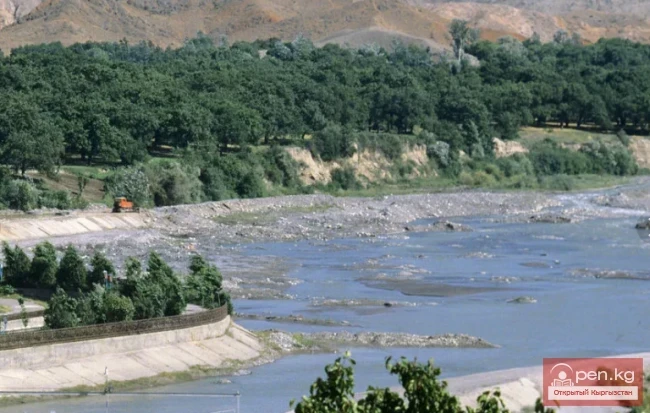
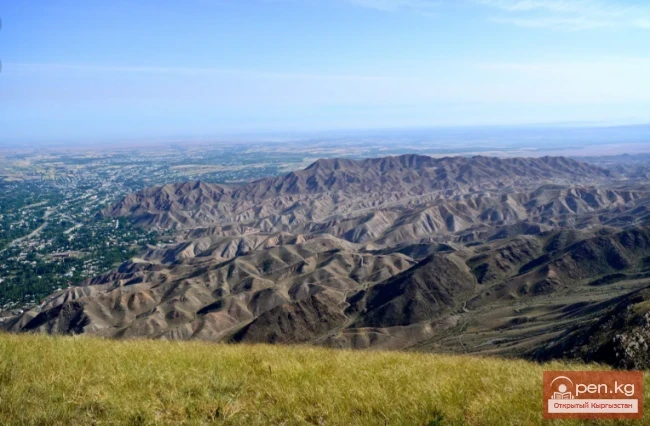
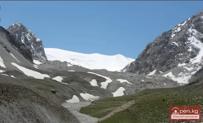
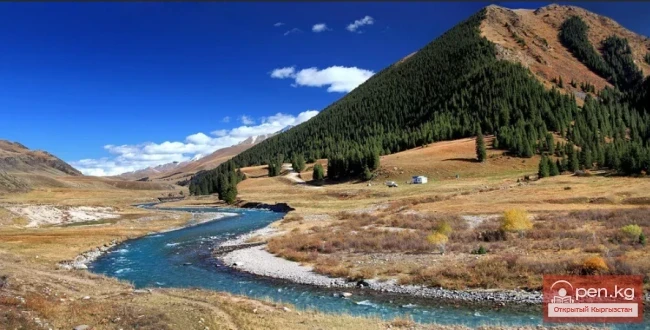
The Batken Region occupies the southern foothill part of the Fergana Valley with leading chains, spurs, and foothills of the Turkestan and Alay mountain ranges. The peaks of these ranges rise above 4000-5000 m. The highest points are in the Turkestan Range - 5621 m (in the upper reaches of the Koozho-Bakyrgan River), and in the Alay Range - 5539 m (in the upper reaches of the Tilbe River, part of the Sokh River basin). The territory of the region also contains the lowest point in Kyrgyzstan - 401 m above sea level. The rivers of the region originate on the slopes of the Turkestan and Alay ranges and belong to the Syr Darya basin. The largest of them are: Isfayram, Shaimerden, Sokh, Isfara, Isfana, Koozho-Bakyrgan. There are over 530 glaciers in the Batken Region, covering a total area of 720 sq. km.
The climate of the region is generally continental: dry, moderately warm in summer, and moderately cold in winter. With increasing altitude, the temperature decreases, and the amount of precipitation increases.
The distribution of vegetation cover is directly dependent on altitude. The foothill plains are occupied by desert vegetation (saltwort, wormwood, crocus). The foothill zone (1300-2200 m) is represented by semi-deserts and subtropical steppes. In the middle mountains and lower parts of the high mountains (2000-3400 m) - a forest-meadow-steppe zone, dominated by juniper forests. In the high mountains, above 3000 m, there are subalpine and alpine meadows.
The geographical position of the region is characterized by the presence of several enclaves belonging to neighboring states. As a result, transport arteries pass through many borders. All this negatively affects the socio-economic development of the region.
The main sectors of agricultural production in the region are: tobacco growing, horticulture, viticulture, animal husbandry, and poultry farming.
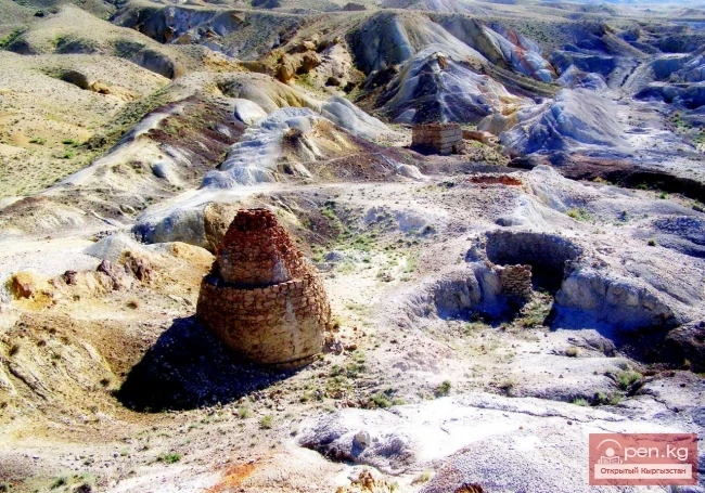
Numerous historical and cultural sites have been preserved in the region. These include the ruins of ancient settlements from the 1st to 6th centuries: Airbaz, Batken, Kayragach, Kayra-Kamar, Koozho-Bakyrgan, Obishir; fortified sites from the 9th to 16th centuries: Bulak-Bashi, Isfana, Kara-Bulak; remnants of fortresses from the Kokand conquest period: Kan, Kyshtut; and an architectural monument - a mosque in the village of Kayragach. South of the village of Rabat is a settlement of ancient miners of the same name, and near the village of Samarkandyk is the cave of Kann-i-Gut.
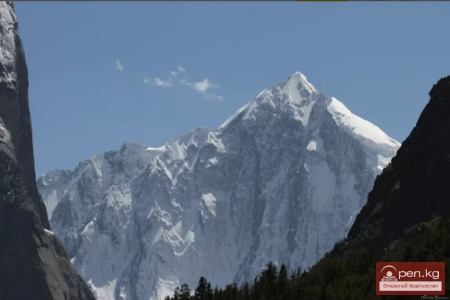
Mountains:
Ak-Suu - Karavshin (Asian Patagonia)
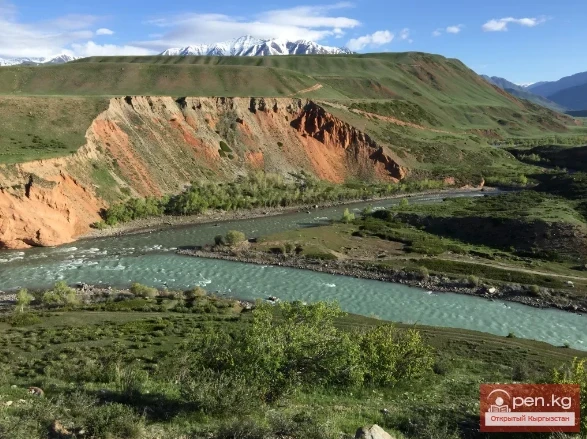
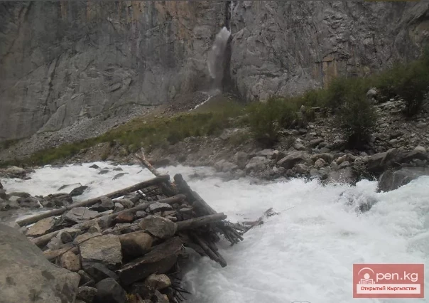
Rivers:
Dugoba
Sokh
Caves:
Cave of Kann-i-Gut
Attractions:
Fortress of Kann