The Issyk-Kul Region is located in the eastern part of Kyrgyzstan. It was established on November 21, 1939, and after several reorganizations, it was officially confirmed in its current form on December 14, 1990. To the north and northeast, the region borders Kazakhstan; to the east and southeast, it borders China; to the west and southwest, it borders the Naryn Region; and to the northwest, it borders the Chui Region. The area of the region is 43.1 thousand square kilometers (21.6% of the total area of the republic). The population is 413.1 thousand people (8.6% of the total population).
The region consists of 5 districts (Ak-Suu, Jeti-Oguz, Ton, Tyup, Issyk-Kul), and 3 cities (Balykchy, Karakol, Cholpon-Ata). The city of Karakol is the regional center.

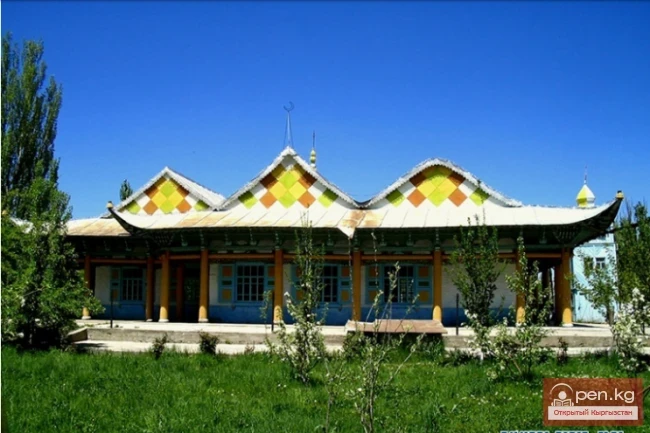
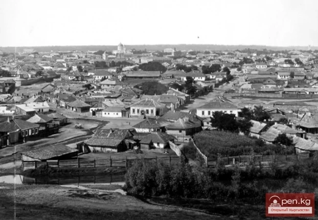
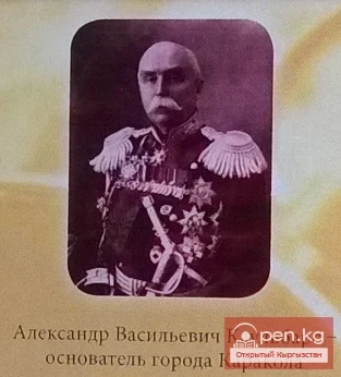
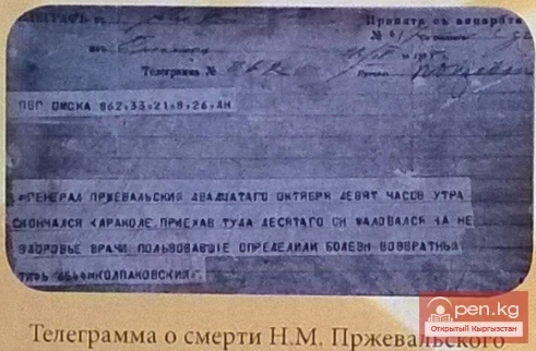
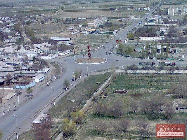
The city was founded in 1869 on the site of the Ak-Suu fortress as a military-administrative and trading post on the Great Silk Road. The population of the city is 70 thousand residents. For a long time, the city was named after the great Russian traveler and explorer of Central Asia, N.M. Przhevalsky. Among the architectural monuments, special attention is drawn to the Dungan mosque in the style of a Buddhist pagoda, built in 1910 from wood without a single nail, featuring a cornice characteristic of Chinese architecture. Another historical value is the Cathedral of the Holy Trinity, built in 1872, also made of wood and without nails. The architecture of this church is a prime example of Russian wooden architecture.

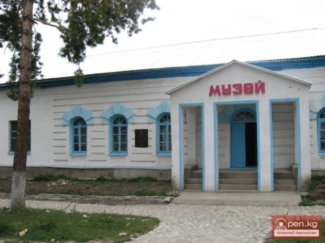
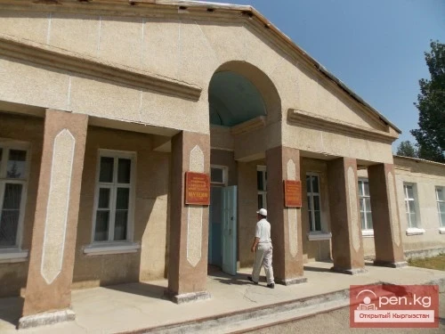
Other tourist attractions include the Karakol Bazaar, the Historical and Local Lore Museum, and the zoo. In 1993, training for tourism organizers began at the Issyk-Kul State University named after K. Tynystanov.
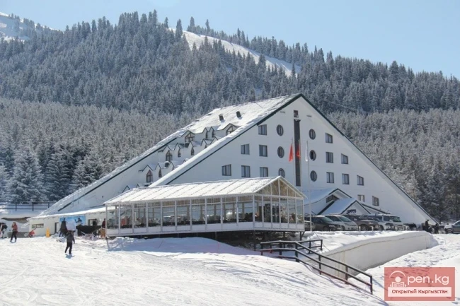
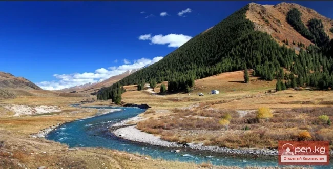
20 km southeast of Karakol is the stunningly beautiful Arashan Gorge. At an altitude of 2600 meters in a wide valley with a coniferous forest, green meadows, and fragrant flowers, the Altyn-Arashan resort is located, organized around hot radon springs. To the west of Karakol, in the upper reaches of the Karakol Gorge, is the Ala-Tuu alpine base, surrounded by impressive peaks: Djigit (6130 m), Karakol Peak (5281 m), Przhevalsky Peak (5283 m), Zhukov Peak (4450 m), Telman Peak (4460 m), and others.

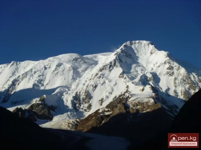
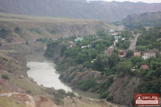
The main part of the Issyk-Kul Region is occupied by the Issyk-Kul Valley and the high-altitude plateaus located to the south of it—high-altitude plains at an altitude of over 3000 m. The Issyk-Kul Valley is formed by the Kungrad Ala-Too mountain ranges to the north and the Terskey Ala-Too to the south, which come close to each other at the eastern and western ends of the valley, forming a closed mountain basin. The Issyk-Kul basin stretches 250 km from west to east and 100 km from north to south. The central part of the valley is occupied by Lake Issyk-Kul. In the eastern part of the Issyk-Kul Region, on the Kokshaala-Too ridge, is the highest point of Kyrgyzstan—Victory Peak (7439 m). In the Tengri-Tag ridge is Khan-Tengri Peak (6995 m). At the junction of the Kokshaala-Too, Meridional, Inylchek, Tengri-Tag, and Sary-Jaz ridges lies the highest and most powerful Tien Shan mountain knot, Muztag, which consists of about 50 peaks with heights of 5000-6000 m and 760 glaciers with a total area of 1517 square kilometers. This mountain knot is one of the most powerful centers of glaciation in the world. At the junction of the Southern and Northern Inylchek glaciers lies the unique Merzbacher Lake. 118 rivers in the eastern part of the Issyk-Kul basin flow into Lake Issyk-Kul. The largest of them are: Jergalan (length 250 km), Tyup (120 km), Karakol, Chon Ak-Suu, Jeti-Oguz, Barskoon, and others. In the northwestern part of the valley flows the Chu River. The Naryn and Sary-Jaz rivers originate in the plateaus.

The climate of the Issyk-Kul Valley is determined by the isolation of the valley and the presence of a large non-freezing lake. The lake moderates the climate of the valley, preventing exhausting heat in summer and severe frosts in winter. The average temperature in July is about 18°C, and in January it is -2 to -4°C. The distribution of precipitation in the basin is greatly influenced by air currents: the western wind Ulan and the eastern wind Santash. The stronger of the two, Ulan, can reach speeds of up to 40 m/s. It brings all the moisture to the eastern part of the basin, including that evaporating from the lake's surface. The average annual precipitation in the eastern part of the valley is about 600 mm, while in the west it is only 115 mm. The majority of precipitation falls during the summer. The climatic conditions on the slopes of the surrounding ridges are subject to vertical zonality: with increasing altitude, temperature decreases and precipitation increases. The plateaus have a sharply continental climate. The average annual temperature is 3-7°C, and the amount of precipitation is 200-300 mm.
The distribution of vegetation cover depends not only on high zonality but also on the clearly expressed characteristic features of the western and eastern parts of the Issyk-Kul Region. For example, in the west, the coastal plain is dominated by deserts, while the slopes of the mountains are semi-deserts; in the east, the coastal plain features steppes, and in the gorges of the Terskey Ala-Too, there are dense coniferous forests. In the eastern part of the valley, in the foothills up to an altitude of 2100 m, cereal and herbaceous steppes prevail. Up to 3000 m, there is a forest-meadow zone, with high-altitude meadows, and on the slopes facing north and west, there are forests of fir trees with a rich undergrowth of rowan, birch, honeysuckle, barberry, and wild rose. At an altitude of 3000-3400 m, there is a subalpine zone, and above that, alpine meadows. The snow line passes at an altitude of 3600-3700 m.

The fauna includes 50 species of mammals, 285 species of birds, 11 species of reptiles, 4 species of amphibians, 31 species of fish, more than 30 species of invertebrates, and about 10 species of vertebrate endemics. Rare species included in the Red Book of Kyrgyzstan are: bear, otter, lynx, manul, snow leopard, maral, pink pelican, black stork, flamingo, mountain goose, and others. In the valleys of the Arabell-Suu and Kumtor rivers, which form the Taragay River, gray marmots live on the plateaus. In summer, the air above the plateaus is filled with a thin piercing whistle. Marmots are abundant here. They venture no more than a hundred meters from their burrows and quickly disappear underground at the first sign of danger.
Among the minerals of the region, gold (Kumtor deposit) occupies a primary place. The economy of the Issyk-Kul Region is based on promising tourism, recreational resources, and the mining industry. The main wealth of the region is Lake Issyk-Kul, its pleasant sea air, sandy beaches, thermal and mineral waters, healing mud, and sanatorium-resort complexes located around the entire lake.
The region has road, rail, air, and water transport routes. The main highway is built around Lake Issyk-Kul and connects almost all settlements in the region. There are airports in the cities of Karakol and Cholpon-Ata, operating mainly during the tourist season.
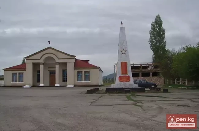
The region is rich in historical, archaeological, and architectural monuments: rock paintings from the Paleolithic era (upper reaches of the Sary-Jaz River, Cholpon-Ata), belonging to the ancient nomadic culture, Saka-Usun monuments of the early Iron Age (7-5 centuries BC), and settlements: Barskoon, Darkhan, Ton, Bar-Bulak, Bosteri, etc. (XI-XV centuries).
Historical and cultural monuments of the city of Karakol
Attractions of the southern shore of Issyk-Kul and Terskey Ala-Too
Attractions of the northern shore of Lake Issyk-Kul and Kungoy Ala-Too
Sunken cities and Lake Issyk-Kul
Natural and ecological complexes:
High-altitude natural and ecological complex Inylchek