The Kyrgyz Republic is a mountainous country (average altitude 2750 m above sea level), located in Central Asia.
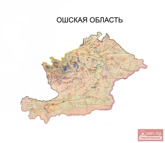
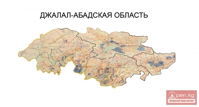
The total length of the borders is about 4508 km, and the area is 198.5 thousand sq. km. The maximum length of the territory from west to east is 925 sq. km, from north to south - 454 km. Kyrgyzstan borders Kazakhstan, Uzbekistan, Tajikistan, and China.
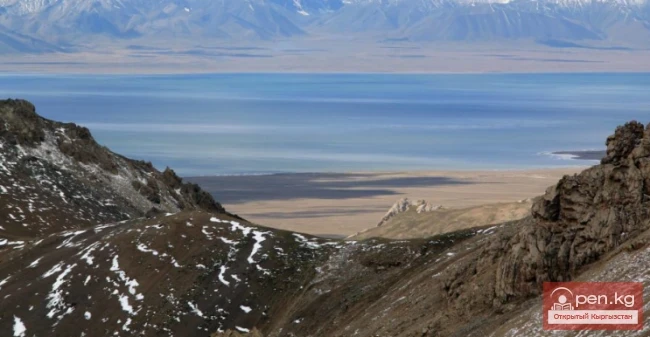
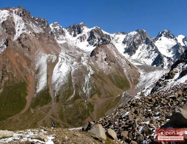
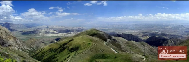
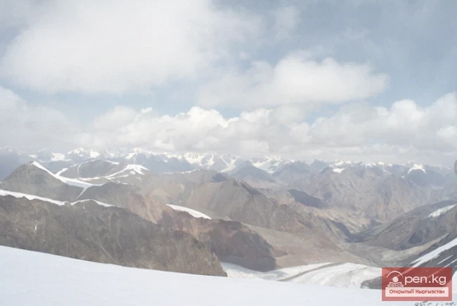
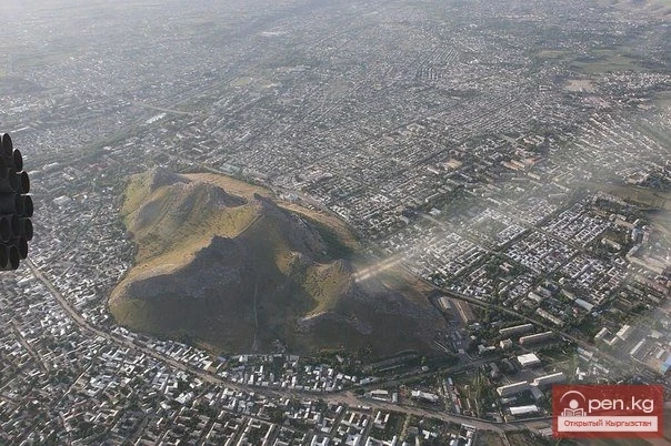
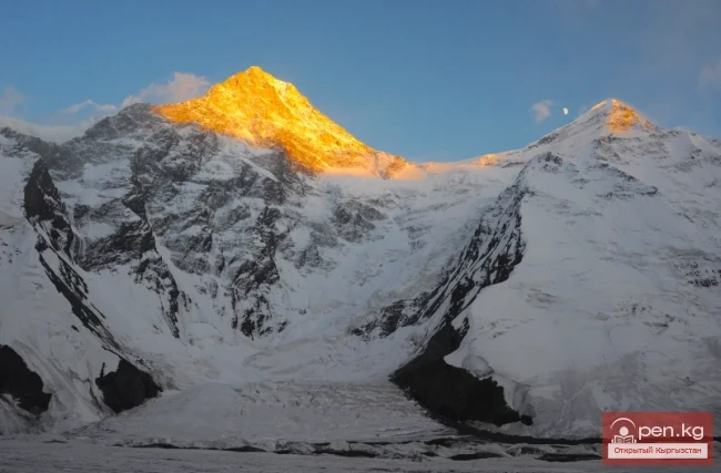
The territory of the country consists of intermountain basins and surrounding ridges formed by two mountain systems: the Tien Shan and the Pamir-Alai. The highest points are located in the east and south. In the central Tien Shan, on the border with China, rises Victory Peak (7439 m), nearby is Khan Tengri (6995 m).
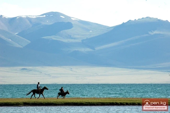
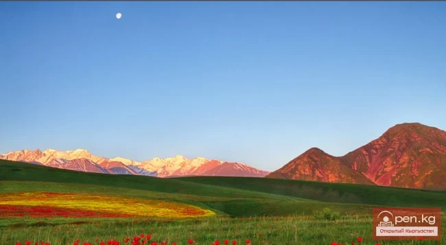
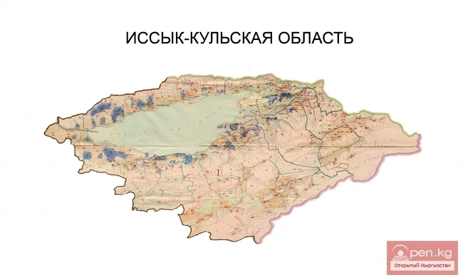
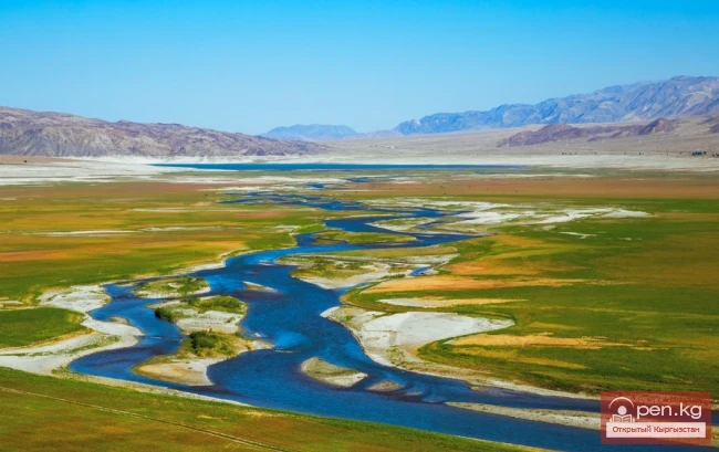
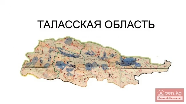
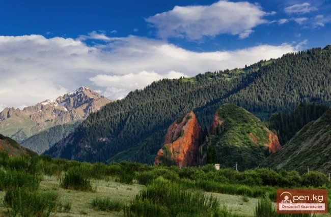
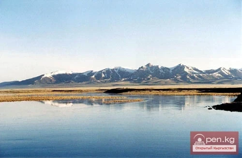
The mountain ranges are natural barriers that protect against the intrusion of cold and warm air masses, heated air from deserts, and strong winds. The slopes of the ridges are dissected by mountain rivers, a significant part of which is located at high altitudes (1600-3000 m). They belong to the vast spaces of the syrts. The Chui, Talas, Ketmen-Tyube, and Toguz-Toro valleys are low-mountain. The Issyk-Kul, Jumgal, Kochkor, and Middle Naryn valleys are located at medium altitudes, with Issyk-Kul particularly standing out, occupying a basin with the same-name lake. A large part of the bottoms of the intermountain valleys is used for pastures and agriculture. Among them, the Suusamyr, At-Bashy, and Alai valleys are characterized by cold, snowy winters and a short warm season.
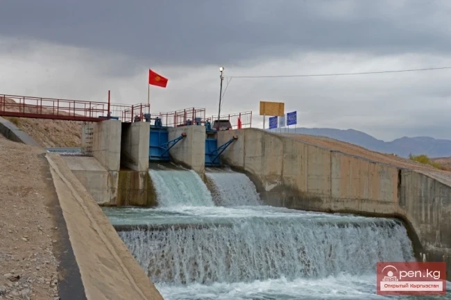
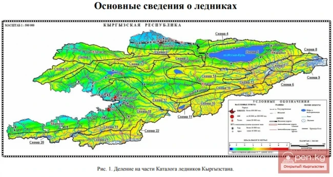
The country has about 30,000 rivers and streams, among which the major ones are: Naryn (the source of the Syr Darya), Chu, Talas, Chatkal, Sary-Jaz, Ala-Buga, Kara-Darya, At-Bashy, Ak-Buura, and others, as well as about 2,000 lakes larger than 0.1 sq. km. The 8208 glaciers with a total area of 8100 sq. km are sources of fresh water and feed many rivers. The largest glacier, South Enilchek, is about 60 km long. Glacial and snow feeding is characteristic of rivers whose mouths are located on high mountain slopes, while smaller rivers originating in lower altitude belts are fed by groundwater, as well as meltwater and rainwater (Brief Geographical Encyclopedia. 1961. p. 281).