Ak-Shiyrak
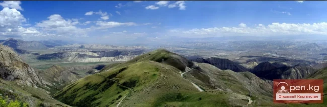
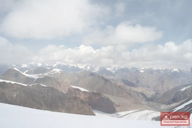
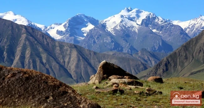
The Ak-Shiyrak Ridge is a watershed between the Naryn and Sary-Jaz rivers in the Tian Shan, located in the Issyk-Kul region, south of the central part of the Terskey Alatoo ridge, and represents one of the largest glaciation nodes in Central Tian Shan in Kyrgyzstan. The ridge, 28 kilometers wide, stretches 60 kilometers in length, with a large part of the area covered by glaciers. The highest point is the Jaman-Su peak, located at an altitude of 5126 meters in the eastern part of the mountain range. The average height of the ridge (above sea level) is 4720 m.

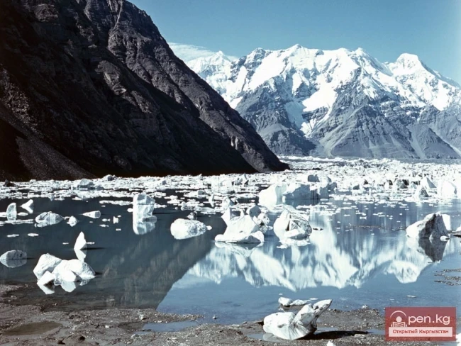
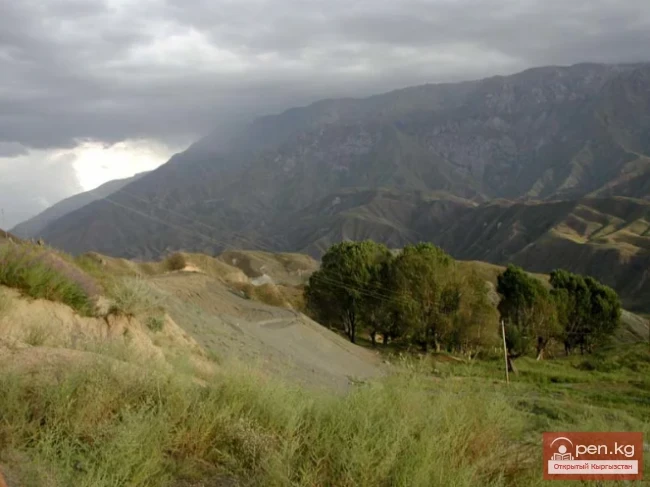
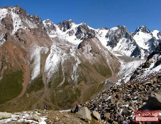
The inner part of the Ak-Shiyrak Ridge is represented by rocky ridges and numerous glaciers - Kainy, Jaman-Su, Petrov Glacier, which are of great interest to mountain tourism enthusiasts. However, it is worth noting the dry and sharply continental climate of this area, where winter temperatures often drop to -50 degrees Celsius. The best way to reach the climbing sites is by off-road vehicle via the Barskoon Pass. In the southern part, the territory of the massif enters a border zone, so a permit may be required here.

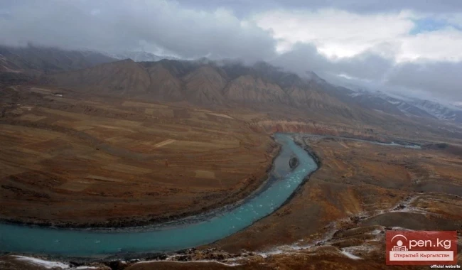
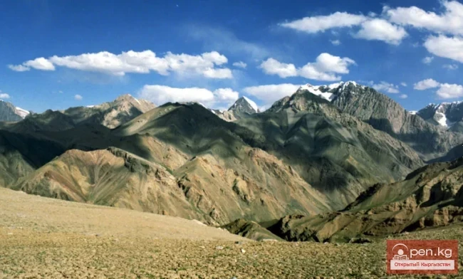
In the watershed between the basins of the Sary-Jaz and Naryn rivers lies the second largest glaciation node in the former Soviet Tian Shan - the Akshiyrak massif. It borders the southern slopes of the Terskey Alatau ridge and the Kuilu massif, being separated from them by the Sarychat River, which further downstream is called Irtysh and Uch-Kel and is a left tributary of the Sary-Jaz River. To the west, the massif is adjacent to the Kumtor ridges, which stretch 50-60 km in length and 20-30 km in width.

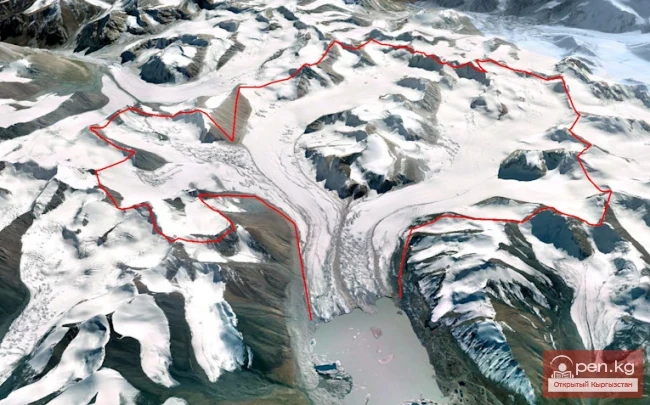
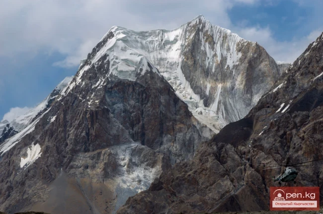
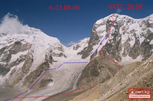
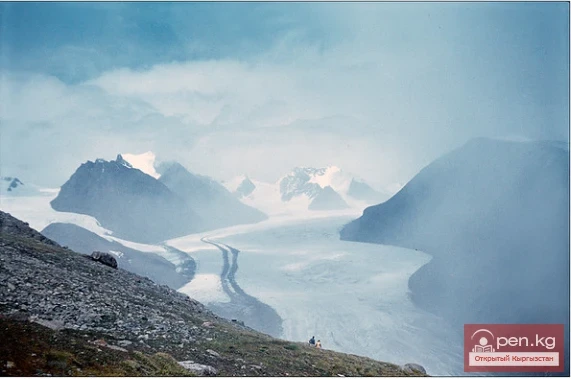
The watershed between the basins of the Sary-Jaz and Naryn rivers contains the second largest glaciation node in the former Soviet Tian Shan - the Akshiyrak massif. It borders the southern slopes of the Terskey Alatau ridge and the Kuilu massif, being separated from them by the Sarychat River, which further downstream is called Irtysh and Uch-Kel and is a left tributary of the Sary-Jaz River. To the west, the massif is adjacent to the Kumtor ridges, which stretch 50-60 km in length and 20-30 km in width. It consists of three closely spaced parallel ridges (crests), arranged in a curtain-like manner, oriented from northeast to southwest and separated by large longitudinal valleys. Between the northern and middle ridges lies a deep longitudinal valley, in the western part of which is the Petrov Glacier (its length is 14 km, making it the third largest glacier in the Soviet Tian Shan). In the eastern part are the glaciers of the Jaman-Su River basin. The length of the Jaman-Su glacier is over 10 km.
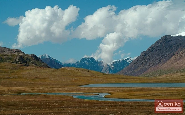
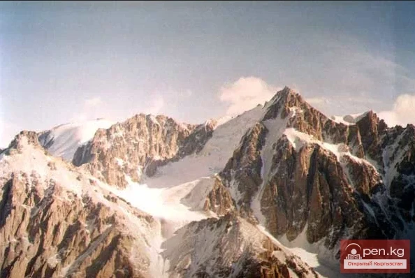
Between the middle and southern ridges lie the glaciers: on the western side - the North Kara-Sai (over 10 km long), and on the eastern side - Kainy (Koendy) (over 8 km long). The western slopes of Akshiyrak are covered by an almost continuous firn cover. The total number of glaciers in the massif is over 130, with an area of glaciation of about 450 sq. km. The tongues of the glaciers lie at altitudes of 3700-4100 m, with the snow line at 4100-4400 m depending on the slope exposure.

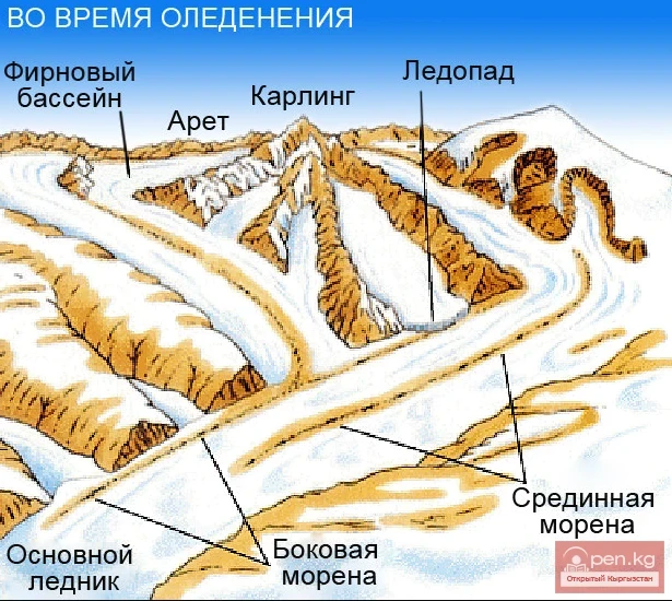
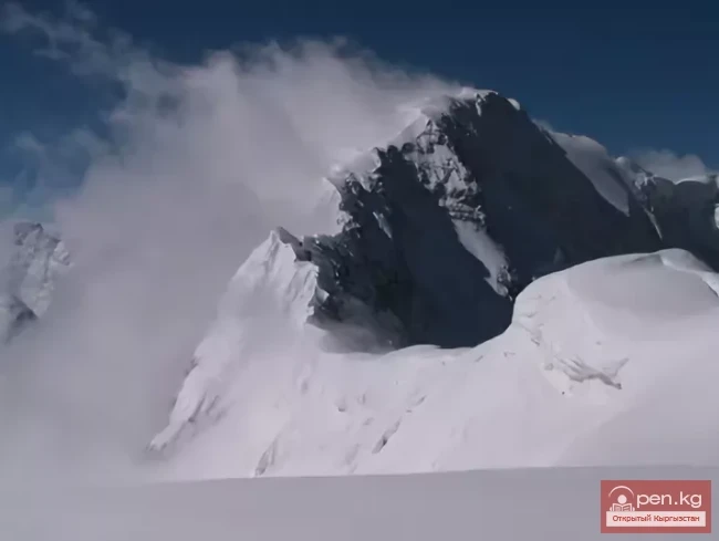
The relief of the inner part of the Akshiyrak massif has a typical alpine appearance - narrow rocky watersheds, steep walls, sharp peaks, and ridges. The latter, due to the steepness of the slopes, are often devoid of ice and firn cover, even if they rise above the snow line. Many valley glaciers also have an alpine "appearance".
The Akshiyrak massif has many technically complex snow-ice and rock-ice passes (up to category 3A difficulty), but there are also quite simple passes that are of fundamental importance, with difficulty categories of 1B-2A. However, groups that have recently taken up mountain tourism should not plan trips here due to the need for prolonged continuous stays at high altitudes, mandatory overnight stays in the snow-ice zone, and very harsh climate. By the way, detailed weather information can be obtained by mountain tourists at the high-altitude meteorological station "Tian Shan," located on the ridges in close proximity to the massif, at an altitude of 3600 m.

The average annual temperature on the ridges is -7-8 °C, which is lower than in the Pamirs or, say, in Novaya Zemlya, and only 2 °C higher than in the Antarctic Mirny. Here, only three months of the year have a positive average temperature, and there is not a single day without frost. The average daily temperature of the warmest month - July - in the area of the ridges is +4.7 °C, in August +3.0 °C. But this is on the ridges; at higher altitudes, as in other areas of the Tian Shan, the temperature drops by 0.7 °C for every 100 m ascent in summer. And there is also the wind, which does not calm down either day or night.