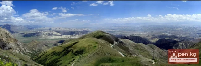
Naryn-Tau
The area is hard to access and rarely visited. Due to the low glaciation and modest heights, the Naryn-Tuu ridge has only been traversed by watermen, one hiking group (Svitanko-1963), and, strangely enough, cyclists.
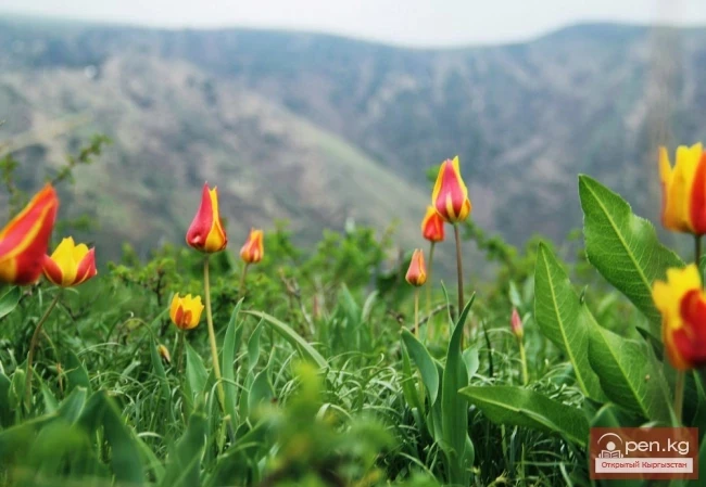
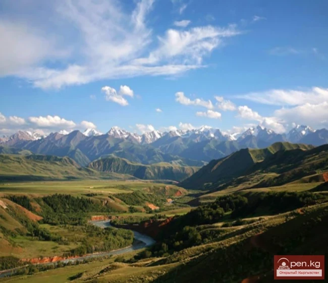
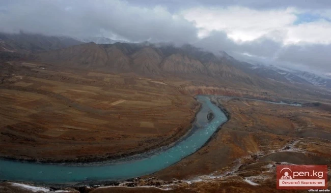
The mountain range in the Inner Tien Shan in Kyrgyzstan forms the left bank of the valley of the Great Naryn River. To the east, it is bounded by the Karakolka River - a left tributary of the Naryn. From there, the ridge stretches westward for about 120 km to the longitude of the city of Naryn and the road to the Torugart Pass. Its width is 18 km. Further east, the ridge descends sharply and is known as the Baybiche-Tuu Mountain. The Naryn-Tuu ridge can also include a complex unnamed branched spur located in the interfluve of the Jaljir and Ulan Zap rivers - the sources of the At-Bashi River. This spur connects to the main ridge via a simple Ulan pass. South of the Jaljir River, the Naryn-Tuu ridge connects with the Janadzhir ridge via the pass of the same name.

The average height (above sea level) is 4200 m. The maximum height is 4530 m.
The ridge is composed of limestones, granites, and metamorphic schists. The northern slope is steep with rocky gorges, while the southern slope is more gentle, with clayey-sandy hills at the foot. Mountain-meadow and meadow-steppe landscapes dominate, along with rocky highlands featuring cliffs and scree on steep slopes. In the gorges, patches of spruce forests have been preserved.
You can reach the lower reaches of the Ulan River from the Naryn valley by crossing the Baybiche Pass.

Several passes in the Naryn-Tuu ridge are marked on maps - these include Mukachi, Kyzyl-Moin in the western part, and Dungurome, Kunakasha, Atjdzhailau, and Kökdjar.
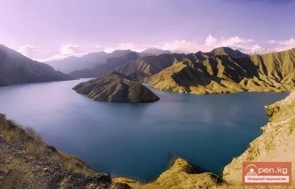
Just below the confluence of the sources of the At-Bashi River in the gorge of the Kultor stream lies Lake Kultor. The lake is situated in a narrow rocky gorge.