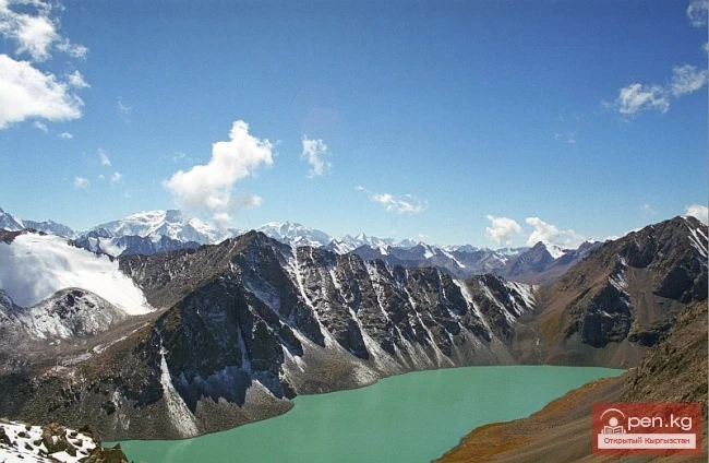
Kungey-Alatau
To the south of the Zailiysky Alatau, beyond the deep longitudinal valleys of the Chilik and B. Kemin (Chon-Kemin) rivers, stretches a chain of snowy peaks of the Kungey-Alatau ridge, which borders Lake Issyk-Kul from the north (the Terkey Alatau ridge limits this basin from the south). Together with the Zailiysky Alatau, it forms the Northern Tien Shan.
The ridge is elongated in a latitudinal direction (from west to east) and has a length of 275 km in a straight line.
Kungey-Alatau begins in the area of the Boom Gorge in the west and stretches in a direction close to latitudinal, forming an arc that is convex to the north, ending in the east at the valley of the Karkara River.

The length of the ridge within the specified boundaries in a straight line is 275 km, with an average height of 3700 m.
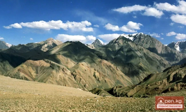
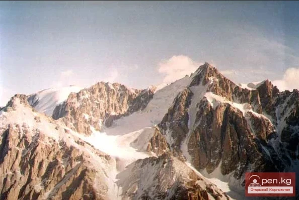
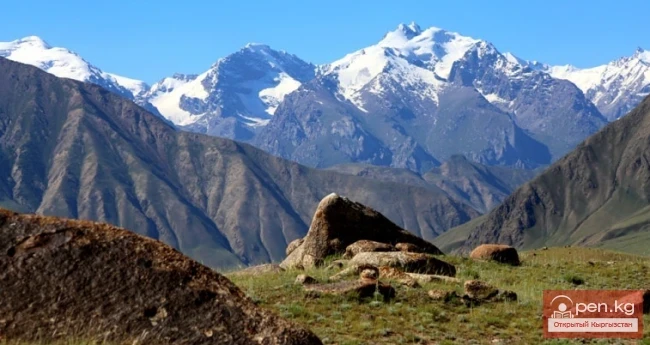
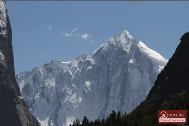
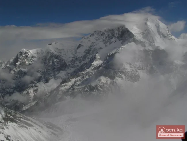
Kungey-Alatau is a relatively narrow alpine chain. The width of the ridge in its highest part is 30-35 km. The maximum heights are in the Chotkal massif (4771 m) and in the middle part of the ridge, in the area adjacent to a powerful uplift extending to the northwest from the key peak, Pik Kemin (4643 m), towards the Zailiysky Alatau ridge, known as the Chilik-Kemin saddle. There are many beautiful peaks with heights of 4500 - 4600 m, and here the Zailiysky and Kungey-Alatau ridges come so close that the distance between their ridge lines is reduced to 8 km. The Chilik-Kemin saddle serves as a watershed between the two largest rivers in the area - Chilik and Chon (g)-Kemin.
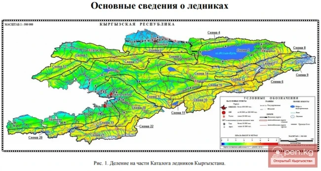
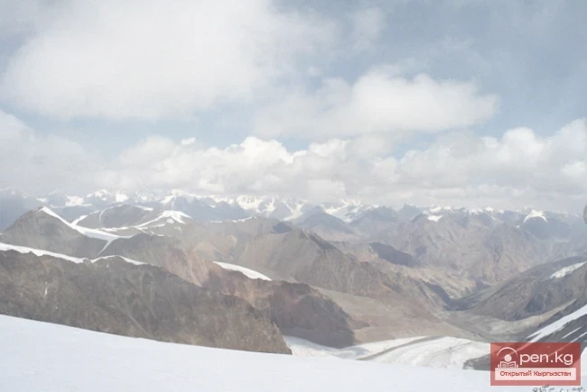
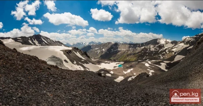
The total area of glaciation of the Kungey-Alatau ridge exceeds 400 sq.km, with 427 glaciers. The glaciation of the northern slope (64%) significantly exceeds that of the southern slope, which is understandable, as the more humid air masses are mainly intercepted by the Zailiysky Alatau; the rest falls as precipitation on the northern slopes of Kungey-Alatau, and only a small part on its southern slopes. However, in the southern slopes of Kungey-Alatau, there are afternoon rain showers in the summer, which come from thunderstorm clouds from the direction of Lake Issyk-Kul, but they do not significantly affect the size of the glaciers.

The largest glacial nodes are Central, Aksuysky, Syutbulaksky, Chon(g)-Aksuysky, and Choktalsky. More than half of the glaciers are small forms of glaciation: cirque and hanging glaciers, and various types of valley glaciers are widely distributed. The largest of them are Zhangyryk (8.9 km), Southern Zhangyryk (8.0 km), Atadzhayloo (Chon-Ak-Suu) (7.6 km), New (6.4 km).
The height of the firn line varies significantly depending on the exposure, with an average height for the northern slope being 3800 - 3850 m, and for the southern slope - about 4000 m. The glaciers descend to heights of 3550 - 3600 m and 3650 - 3700 m, respectively.
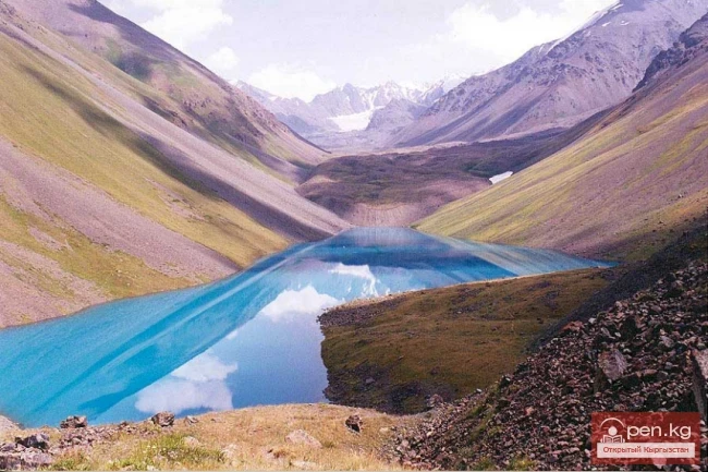
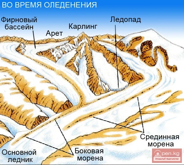
In Kungey-Alatau, traces of ancient glaciations are well preserved: moraines, ancient troughs, terraces, especially in the valleys of the Jindysu, Taldy, and Chotkal rivers.
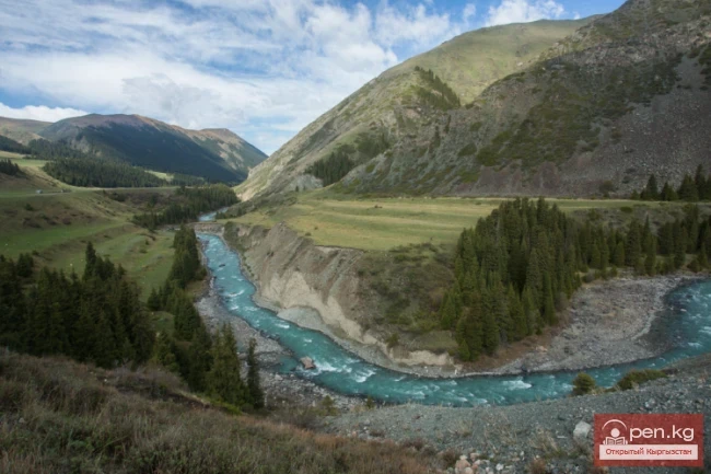
The rivers of Kungey-Alatau (there are almost 100 of them) are mainly fed by glaciers. On the northern slope of the ridge, in its high part, the most significant rivers are Dyure, Kashka-Suu, Jindysu, Koysu, Orto-Koysu, Chon(g)-Koysu, Tortunchu-Koysu, Cholpon-Ata, Dolonaty, Ak-Suu, flowing into the turbulent Chon(g)-Kemin, the most powerful tributary of the Chu River. To the east of the saddle, rivers flow from the northern slope: Novaya, Kensai, Zharbulak, Zheldysai, Kugantor, Kairakty, Korumdyk, Syutbulak, and others. All of them are right tributaries of the swift Chilik, which carries its waters into the Ili River.

The rivers of the southern slope often have names identical to those of the rivers flowing on the opposite side of the ridge and belong to the basin of Lake Issyk-Kul. These include Dyure, Kobyryga, Chotkal, Koysu, Orto-Koysu, Chon(g)-Koysu, Cholpon-Ata, Bakty-Dolonaty, Orto-Dolonaty, Chetki-Dolonaty, Chon-Ak-Suu, Ak-Suu, and others. All these rivers are relatively small in size (from 15 to 35 km), and only Chon(g)-Aksu reaches a length of 50 km. All rivers are characterized by narrow, often canyon-like gorges in the lower reaches and wide, trough-like valleys in the upper reaches. The river levels change sharply throughout the year and day, reaching a maximum in July and at 16-18 hours.
It should be noted that the rivers of Kungey-Alatau, like all mountain rivers, are full-flowing and treacherous. This is especially true for the rivers on the northern exposure. There are usually no bridges over these rivers, so for crossings, one has to choose the most convenient places and suitable times. Crossings through the main rivers of the Chilik and Chon(g)-Kemin areas are only possible in the upper reaches. Below, due to greater development of these gorges (animal husbandry), bridges and cables are occasionally found, but they may be temporary and variable in location.

The climate of the Zailiysky Alatau and Kungey-Alatau area is continental and, apart from general patterns, has many specific features determined by the relief, altitudinal zonality, and on the southern slope of Kungey-Alatau - by the presence of a deep non-freezing lake. Climatic conditions in this mountainous area change rapidly as one ascends.
The dry steppe at the foot of the ridges is replaced by a strip of gardens and groves, above which steeply rise forests and meadows, and above them, on the ridges of the ridges, glaciers and snowfields shine. This striking contrast between the foothills and the high mountains mainly depends on the amount of moisture brought into the mountains by the western and northwestern currents of the upper layers of the atmosphere. Moisture falls at the foot of the ridges in abundant rains, while high in the mountains it falls as snow. From the west of the area to the east, at the same altitudes, the temperature decreases while the amount of precipitation increases.

Against the backdrop of general seasonal phenomena throughout the year, a number of sharp cold snaps are observed, associated with the passage of cyclones in summer and anticyclones in winter. They significantly change the usual weather patterns.
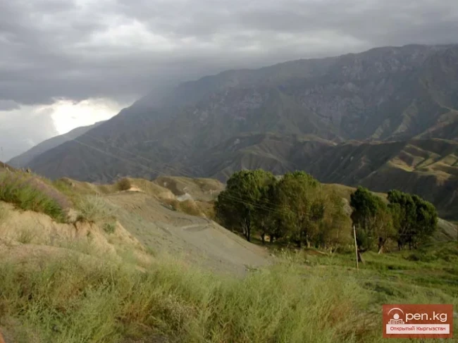
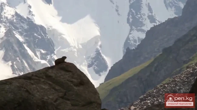
The nature of the area is diverse in its species and forms. Lifeless valleys are replaced by stunningly beautiful gorges covered with slender firs. The dark-coniferous forest belt is located at an altitude of 1600-1800 m to 2800-3100 m. The forest grows mainly on the northern, northeastern, and northwestern slopes of the gorges. Thickets of juniper can be found. High up, next to the glaciers, edelweiss grow, often covering entire glades with solid silver carpets. In total, the area is home to more than a thousand species of rich and diverse vegetation, of which more than half grows at altitudes of 1300 to 1700 m - thickets of wild apple trees, apricots, hawthorn, aspens, birches, rose hips, barberries, honeysuckles, and raspberries.