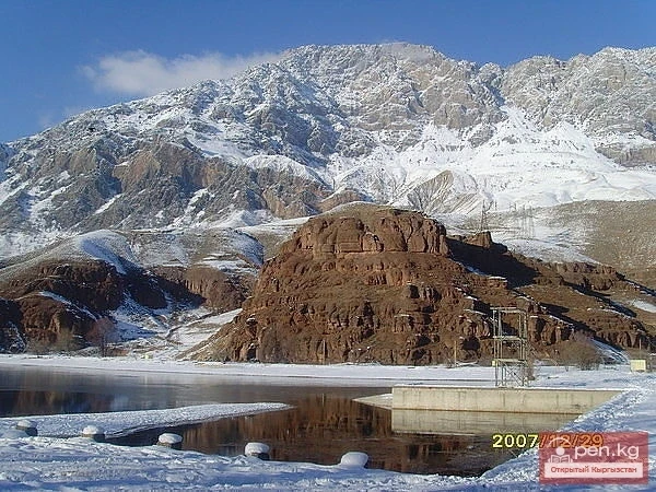
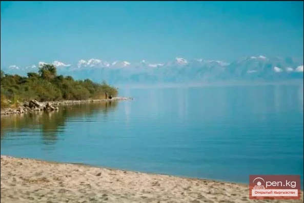
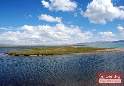
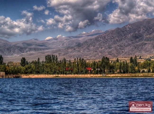
“Chatyr-Kul” translates from Kyrgyz as “Heavenly Lake.”
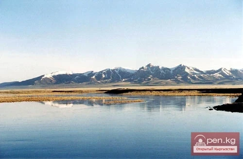
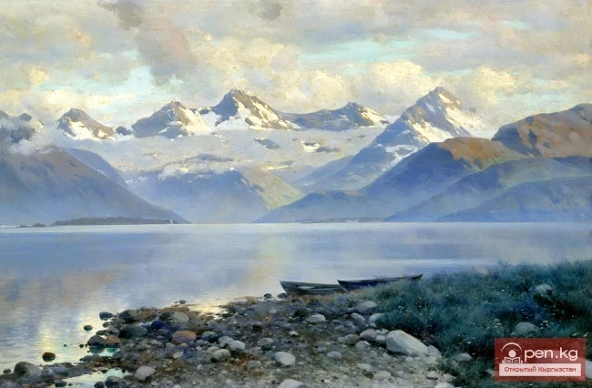
The high-altitude lake Chatyr-Kul is located in the Inner Tian Shan. The height of the lake above sea level is 3530.2 meters. The area of the water surface is 170.6 km². The length of the lake is 23 km, width is 11 km, and the average volume of water is 8.5 km³.
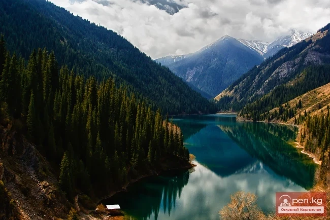
It is the highest of the large lakes in Tian Shan, occupying the lowest part of a tectonic depression.
The prevailing depths are 12 - 13 meters, in the western part up to 18 - 19 meters, in the eastern part - 8 meters. 41 small rivers flow into the lake, the largest of which are: Kara-Suu, 17 km long; Kara-Tai, 12 km, and others. The salinity is 2%.
The water is clean and transparent. The water temperature in summer is 10 °C at depth. At 0.6 m depth - up to 4.4 °C. It freezes in October and thaws at the end of April. The ice thickness is 0.25 - 1.5 m, and in the southeastern part, there are many mineral springs. Not far from the southern shore of the lake, 11 km from the Torugart Pass, there are mineral springs.

The water here is very cold and resembles the famous Caucasian Narzan. One spring constantly ejects water in the form of a fountain.
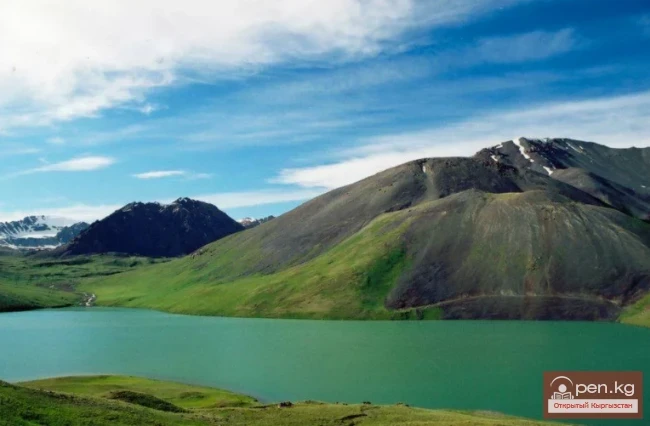
The lake is located in the Chatyr-Kul lowland, within the Atbashinsky district. The lake is bordered to the north by the At-Bashy ridges and to the south by Torugart. The length of the ridges is 48 km, with a maximum width of 18 km.
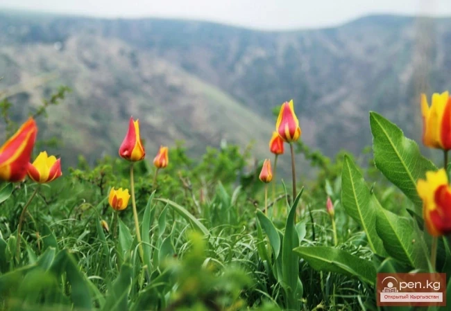
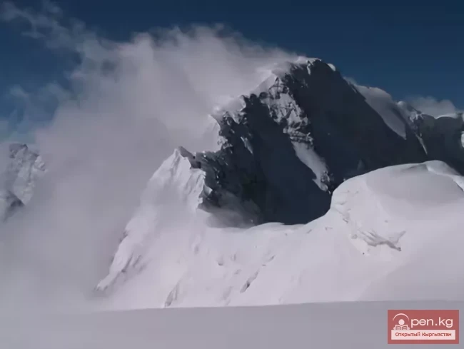
The relative height of the surrounding mountains is 300 - 900 meters above sea level. The area around the lake predominantly features steppe landscapes. The basin of the lake is characterized by a relief of a weakly dissected lake-river accumulative plain.

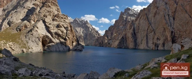
The shores are mostly low, with the south and east being predominantly marshy and consisting of 6 terraces. Only in the north, where the Middle Paleozoic limestone cliffs approach almost directly to the water, are the shores high and have the appearance of abrasion ledges. The bottom of the lake has a bumpy and pit-like structure throughout.
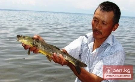
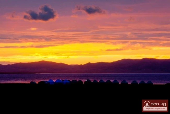
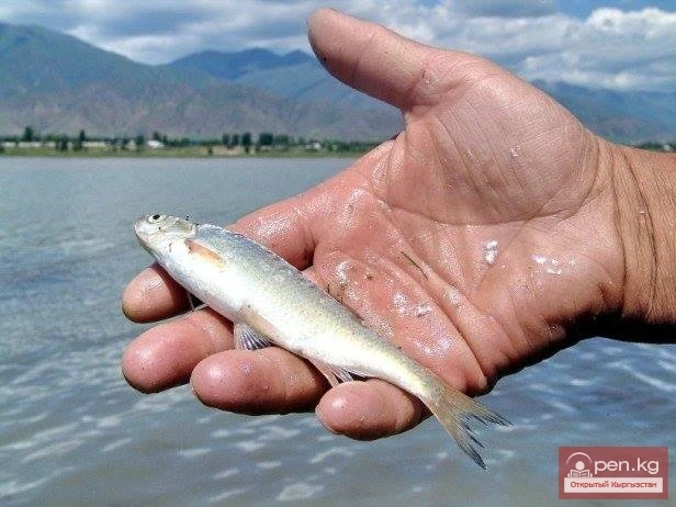
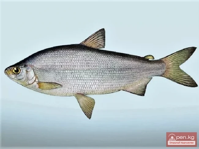
Lake Chatyr-Kul is part of the Kаратал-Жапырык State Nature Reserve. Its territory, within the reserve, has also been recognized as a wetland of international importance under the Ramsar Convention, considering the habitat of waterfowl. The lake is fishless, although one indigenous species is found in the rivers that flow into it.
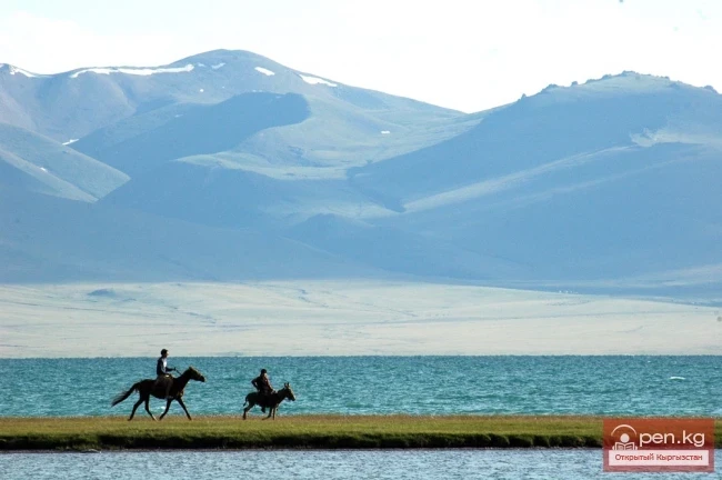
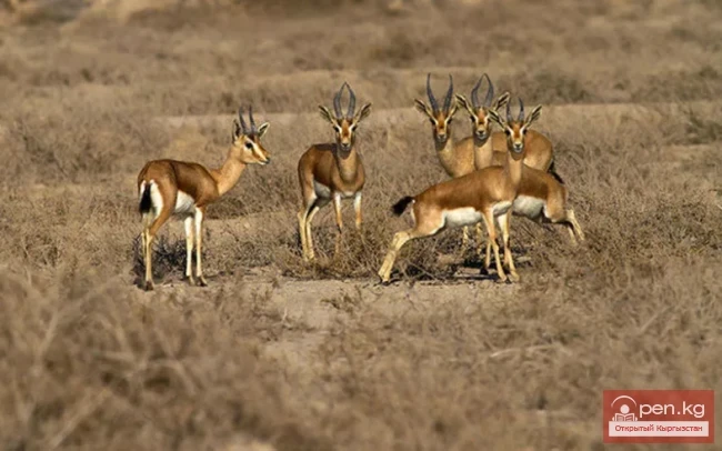
The nature of the lake is unique and picturesque; it is home to red marmots, mountain goats, and snow leopards, and is known as a wintering site for several species of wild birds. In summer, the lake turns into a real bird market.
The southeastern shore of the lake is favored by Indian geese, which are listed in the Red Book.

The catchment area of the basin is about 1050 km²; however, due to the arid climate and the limited development of modern glaciation in the mountains, the river network is poorly developed. Of the 24 rivers flowing into the lake, only the Kek-Argyn river has a permanent flow.
The climate of the Chatyr-Kul depression is sharply continental. The average annual air temperature is negative (−5.6 °C), with minimum winter temperatures dropping to −50 °C. The maximum summer temperature reaches +24 °C.
The average amount of precipitation is low, 208—269 mm, of which 80—90% falls in summer.

In winter, the riverbeds freeze to the bottom.
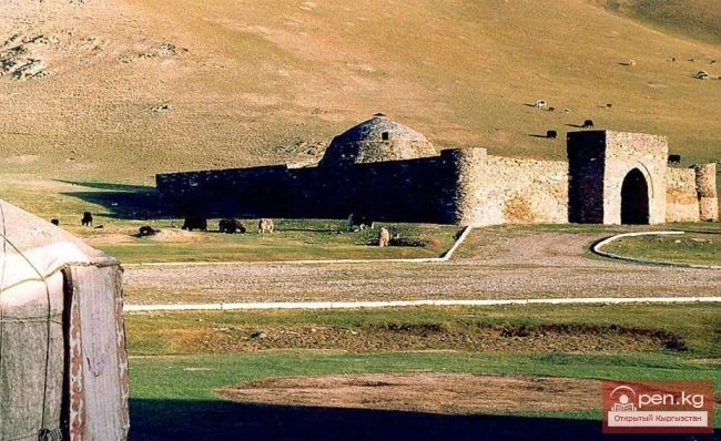
At the western end of the lake, there is a reserve and a mausoleum.
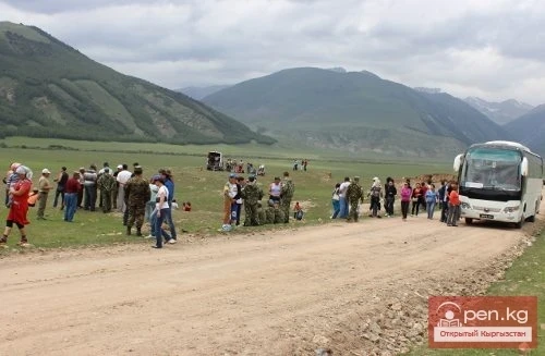
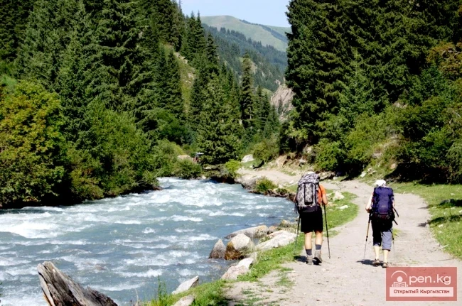
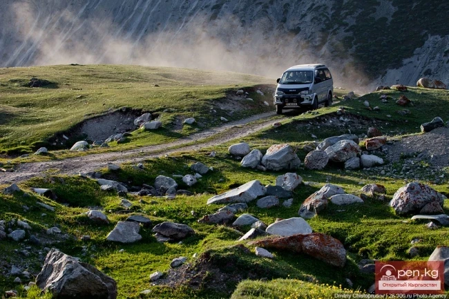
A highway runs past the lake to China, to the city of Kashgar.