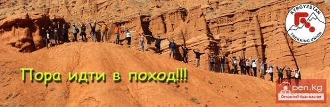
June 26 – July 10, 2014 "Naryn Ring"
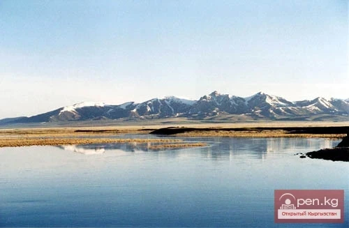
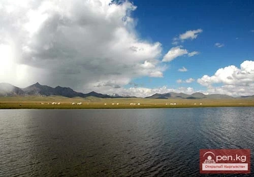
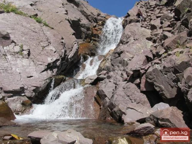
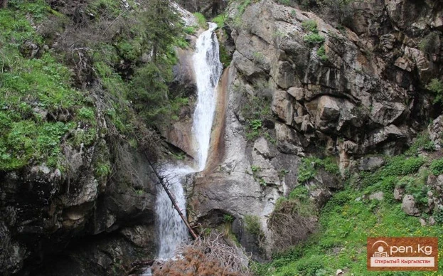
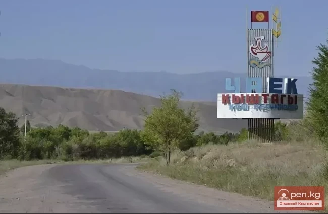
The Tourist Union of Kyrgyzstan offers you an annual expedition trip lasting 15 days. The route is as follows: Bishkek – Kochkor – Dolon Pass – Naryn City – Bash-Kaindy Gorge – Shaar Waterfall – Koshoy-Korgon – Tash-Rabat – Kulzhabashi Gorge – Chatyr-Kol Lake – Kel-Suu Lake – Kazhyrty Canyons – Son-Kul Lake – Kara-Keche Pass – Chayek – Kokomerin River – Suusamyr – Bishkek.
The program of the trip is as follows:
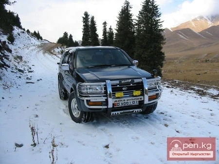
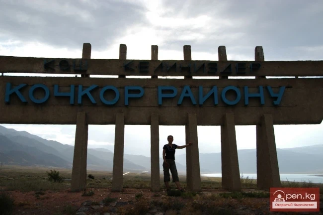
Day 1 – Departure early in the morning from Bishkek via the Orto-Tokoy Reservoir, Kochkor village, Dolon Pass 3030m, overnight camping beyond Dolon Pass at 2700m above sea level. By car – 260km, walking – 0km.
Day 2 – Crossing Dolon Pass to Bash-Kaindy village. Overnight camping above Bash-Kaindy village 8km at 2500m above sea level. By car – 110km, walk 2-3km.
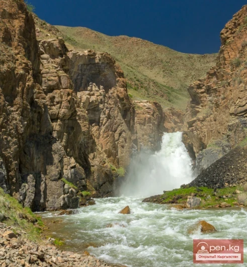
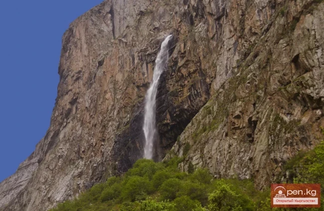
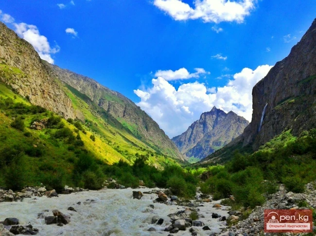
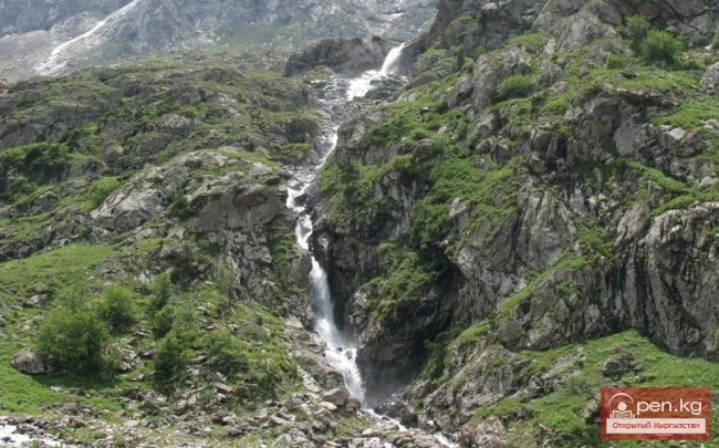
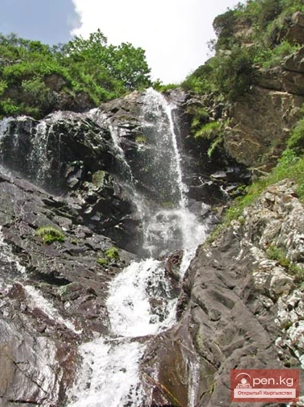
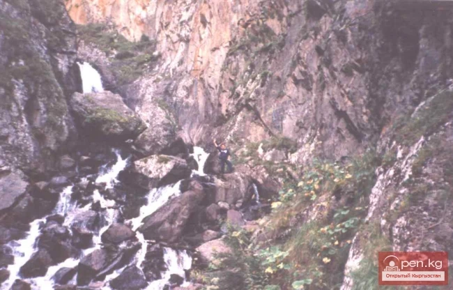
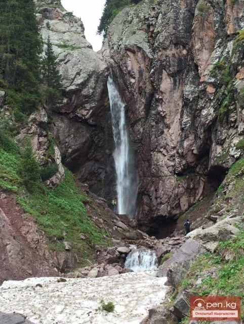
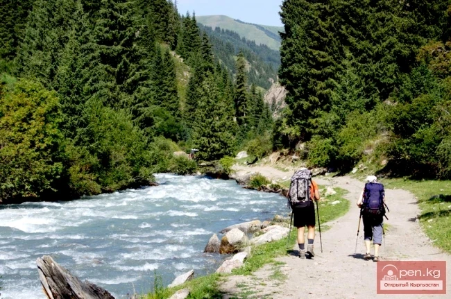
Day 3 – Hike to Shaar Waterfall at 3240m above sea level, picnic near the waterfall and return to camp at 2500m above sea level.
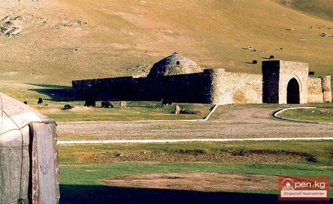
Day 4 – Transfer to Tash-Rabat via Koshoy-Korgon, overnight camping at Tash-Rabat at an altitude of 3100m. By car – 105km, walk 3-4km.
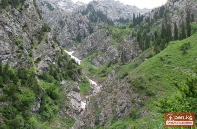
Day 5 – Transfer from Tash-Rabat to Kulja-Bashy Gorge, overnight camping at an altitude of 3150m above sea level. By car – 200km, walk 3-4km.
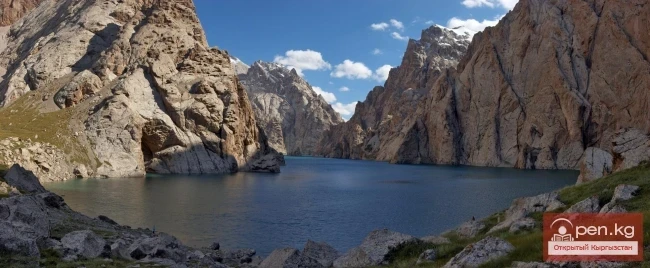
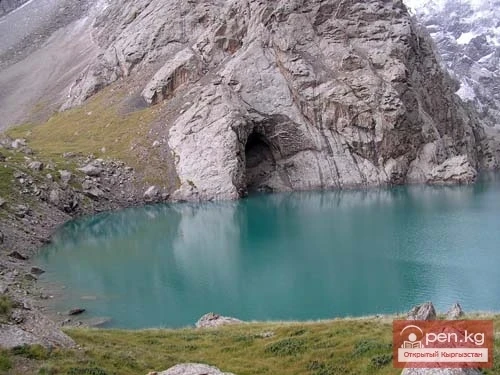
Day 6 – Transfer from Kulja-Bashy to Kol-Suu, overnight camping at an altitude of 3500m above sea level. By car – 30km, walk 2-3km.
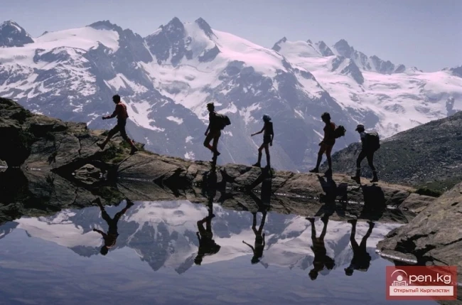
Days 7-8 – Radial hikes in the vicinity of the lake. By car – 0km, walking 15-20km.
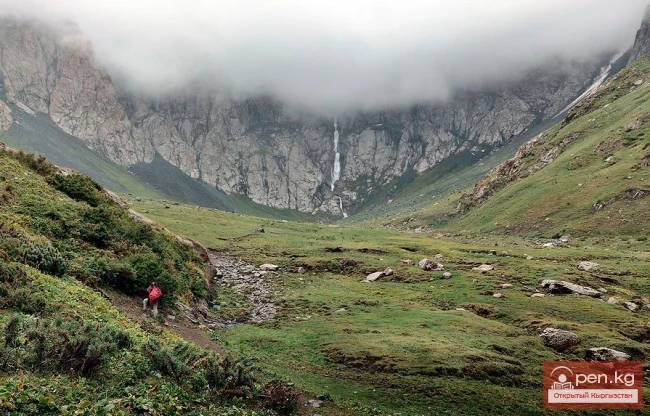
Day 9 – Transfer from Kol-Suu Lake to Arashan Gorge, overnight camping at an altitude of 3100m above sea level. By car – 40km, walk 3-4km.
Day 10 – Transfer from Arashan Gorge to Kazhyrty Canyons via Kyndy Pass at 3400m, overnight camping at an altitude of 2600m above sea level. By car – 140km, walk 3-4km.
Day 11 – Transfer from Kazhyrty Gorge to Terme Gorge, overnight camping at an altitude of 2500m above sea level. By car – 30km, walk 3-4km.
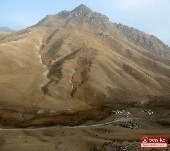
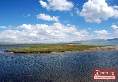
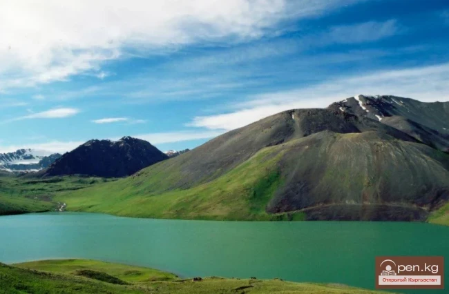
Day 12 – Transfer from Terme Gorge to Son-Kul Lake via Saky Barrows and Son-Kul Waterfall, overnight camping at an altitude of 3050m above sea level. By car – 45km, walk 3-4km.
Day 13 – Transfer from Son-Kul Lake to Kara-Keche River, overnight camping at an altitude of 2500m above sea level. By car – 50km, walk 3-4km.
Day 14 – Transfer from Kara-Keche River to Kokomerin River, overnight camping at an altitude of 1800m above sea level. By car – 80km, walk 2-3km.
Day 15 – Transfer from Kokomerin River to Bishkek via Suusamyr Valley and Too-Ashuu Pass. Overnight at home in bed J at an altitude of 700m above sea level. By car – 180km, walking 0km.
- The total length of the car route: 1600km, walking route: 30-35km maximum, 3-5km per day.
- It is necessary to have camping skills and basic mountain survival skills.
- The cost includes transportation, meals, a cook, general equipment (gas cylinder, stove, ropes, generator, kitchen tent), expedition t-shirts, and organizational (consultation) expenses for a group of 16 people: $295/person (for members of the "Union..." $290/person).
- Personal equipment expenses are not included in the tour price.
- For those planning this trip, it is necessary to obtain a border pass. Please arrange the pass in advance!