Suusamyr Valley

admin Pastures and valleys
VK X OK WhatsApp Telegram
Suusamyr Valley


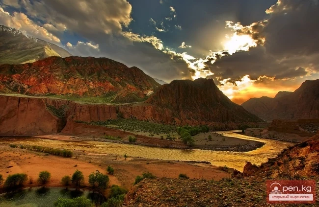
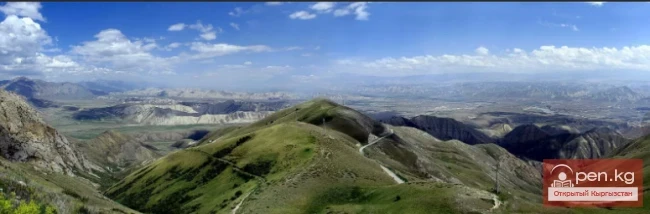
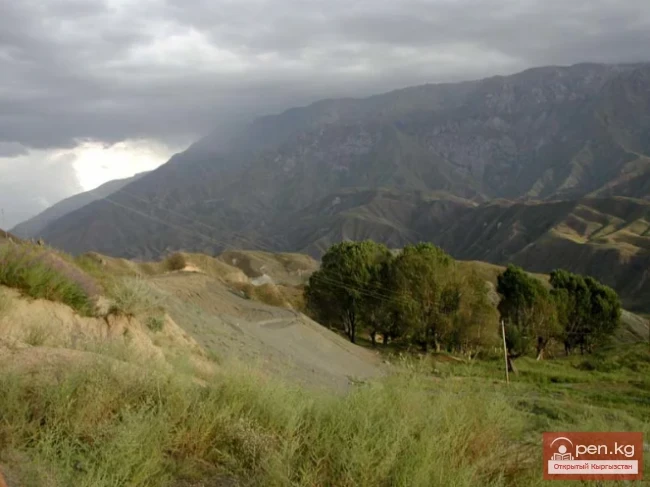
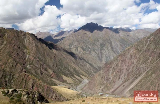
The length of the valley is 155 km. It is bordered on the north by the Kyrgyz Ala-Too, on the south and southwest by the Suusamyr-Tuu ridge, and on the south and southeast by the Jumgal-Tuu ridge. The vast expanses of Suusamyr stretch from the Ala-Bel pass in the west to the beginning of the Kekemeren River in the east.

The climate of Suusamyr Valley is noticeably different from that of the low mountain plains. In winter, cold air accumulates at the bottom of the valley, flowing down from the slopes of the surrounding ridges. Snow lies here for 130-160 days, reaching a height of up to 70 cm, while in summer the air is very fresh and clear. The entire surface of the valley is gently undulating and densely covered with lush green grasses of mountain meadows.

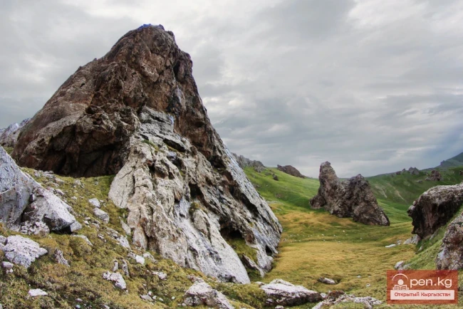
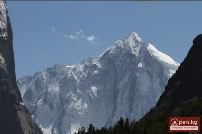
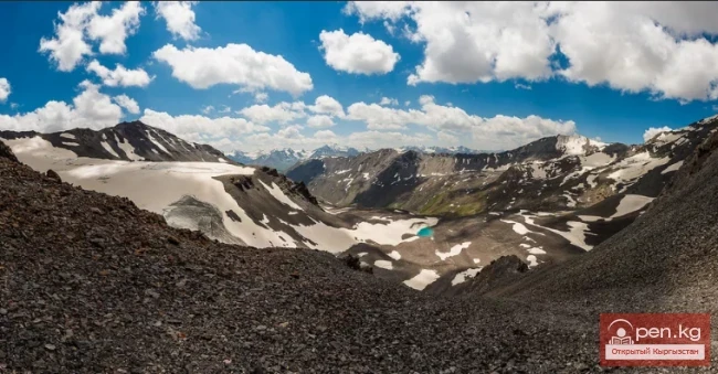
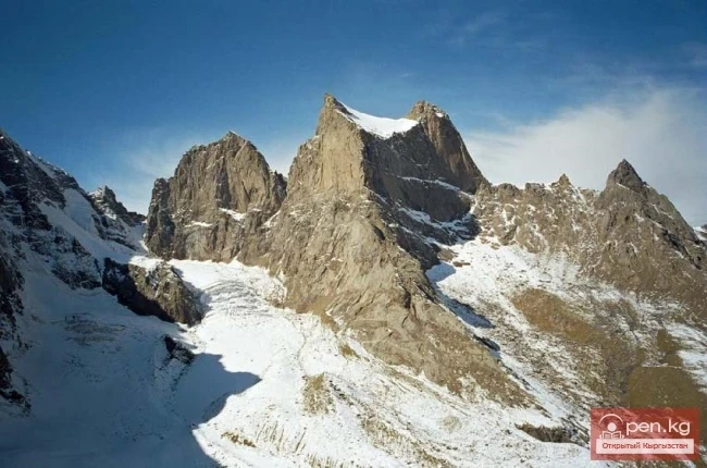
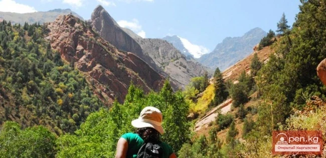
Surrounding the valley is a necklace of sparkling snow-capped peaks shining in the sun. "Shepherd's Eldorado" is how the Russian botanist V. Lipsky referred to Suusamyr Valley. Another well-known botanist, R. Abolin, called Suusamyr "an emerald in a silver setting."

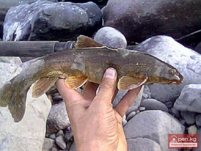
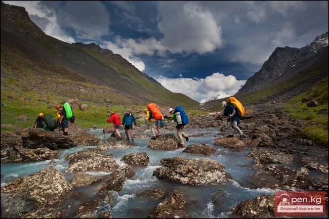
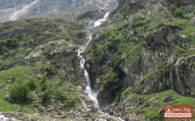
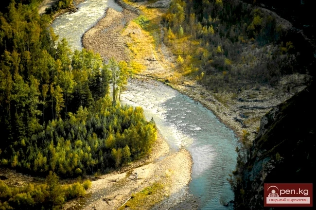
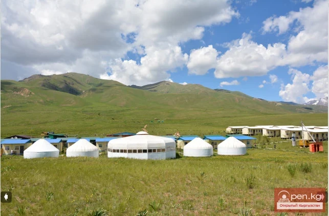
Two rivers flow through Suusamyr Valley: the Western Karakol and Suusamyr, which merge to form the Kekemeren River, carrying its waters into the main river of the country, Naryn. The valley floor is covered with a carpet of alpine grasses and flowers. Suusamyr is a classic example of a high-altitude jailoo (summer pasture). Dozens of yurts of Kyrgyz nomads adorn the vast spaces of the valley. The administrative center of Suusamyr Valley is the village of Suusamyr, located in the eastern part of the valley. Suusamyr is the birthplace of the famous hero Kozhomkul. Kozhomkul became renowned for his heroic strength and for defeating the famous Russian hero Ivan Poddubny in a duel. On the eastern outskirts of the village lies the grave of Kozhomkul's mother, over which he placed a huge stone weighing 160 kg. He carried this stone on his shoulders from the riverbed, which is several kilometers away.

The ruins of the Suusamyr settlement, a monument from the medieval period (10th-11th centuries), are located north of the village of Tunuk. In the lower part of the valley, there are stone sculptures of ancient Turks (6th-12th centuries), as well as burial mounds of ancient pastoral tribes from the Saka-Usun period (6th century BC - 5th century AD).
S. D. Dudashvili "Tourist Resources of Kyrgyzstan"
VK X OK WhatsApp Telegram

Read also:

"Suusamyr Zone"

"Suusamyr Zone"

The Suusamyr Zone includes the eponymous high-altitude valley stretching 155 km. To the north, it...

Kekemeren River

Kekemeren River

Kekemeren River is one of the most amazing and beautiful rivers in Kyrgyzstan. The Kekemeren is...

Zone "Chatyr-Kel"

Zone "Chatyr-Kel"

The Chatyr-Kel Zone includes a significantly elevated intermountain basin with a lake of the same...

The Moldotau Ridge

The Moldotau Ridge

Moldotau A mountain range in the Inner Tian Shan, in the central part of Kyrgyzstan, south of Lake...

Naryn-Too Ridge

Naryn-Too Ridge

Naryn-Tau The area is hard to access and rarely visited. Due to the low glaciation and modest...

Kara-Balta

Kara-Balta

Kara-Balta, which translates as "Black Axe," is one of the youngest cities in the Kyrgyz...

Ak-Sai Valley

Ak-Sai Valley

Ak-Sai Valley - the Kyrgyz Pole of Cold Located in the south of the Naryn region, it is bordered...

Waterfall Ashutor

Waterfall Ashutor

Sokuluk Ashutor Waterfall Before the Sokuluk waterfall, there is the Ashutor gorge with a...

The Valley of Chichkan

The Valley of Chichkan

The Chichkan River flows from the north into the Toktogul Reservoir. It is a small river with...

Susamyr Catchfly

Susamyr Catchfly

Susamyr Catchfly Status: EN. A rare species found in small numbers and in a limited area, which...

Chuy Region

Chuy Region

The Chuy Region was established on December 14, 1990. Until 1939, various...

Jumgaltau Ridge

Jumgaltau Ridge

Jumgaltau A mountain range in the northern part of the Tien Shan, in Kyrgyzstan. The ridge extends...

Alay Ridge

Alay Ridge

Alay Range A mountain range of the Pamir-Alai mountain system in Kyrgyzstan and partially in...

Turkestan Range

Turkestan Range

Turkestan Range A high mountain range oriented in a latitudinal direction, approximately 340 km...

Small Naryn

Small Naryn

Small Naryn encompasses the valley of the river of the same name, located between the ridges of...

Kuylytau Ridge

Kuylytau Ridge

Kuylytau A mountain range in the Central Tien Shan, in Kyrgyzstan. It is located between the...

Naryn Region

Naryn Region

The Naryn Region is located in the southeast of Kyrgyzstan and was first established on November...

Kyrgyz Ridge

Kyrgyz Ridge

Kyrgyz Mountain Ridge A mountain range that borders the Chuy Valley and the Moyunkum Desert to the...

Zhalay Range

Zhalay Range

Zaalai Ridge A ridge oriented in a latitudinal direction, separating the Pamir and the Alai...

Kungey-Alatau Ridge

Kungey-Alatau Ridge

Kungey-Alatau To the south of the Zailiysky Alatau, beyond the deep longitudinal valleys of the...

Kara-Balta Gorge

Kara-Balta Gorge

Kara-Balta Gorge is located on the northern slope of the Kyrgyz Ala-Too. The Kara-Balta Gorge...

Fergana Range

Fergana Range

Fergana Ridge A mountain range in the Tien Shan that stretches from southeast to northwest,...

Zailiysky Alatau Ridge

Zailiysky Alatau Ridge

Zailiyskiy Alatau A mountain range in the northwest of the Tian Shan (on the border of Kazakhstan...

Kek-Art

Kek-Art

The "Kek-Art" Zone encompasses the surroundings of the city of Jalal-Abad, as well as...

Inner Tian Shan

Inner Tian Shan

It is precisely about this region that famous travelers such as Semenov-Tian-Shansky, Mushketov,...

"Orto-Tokoy Zone"

"Orto-Tokoy Zone"

The Orto-Tokoy Zone encompasses the territorial foothills at the western end of the Terskey...

Issyk-Kul Region

Issyk-Kul Region

The Issyk-Kul Region is located in the eastern part of Kyrgyzstan. It was established on November...

"Chon-Kemin Zone"

"Chon-Kemin Zone"

Chon-Kemin Zone includes the valleys of the Chon-Kemin and Kichi-Kemin rivers between the high...

Zone "Toktogul"

Zone "Toktogul"

The Toktogul Zone includes the Ketmentebin intermountain basin in the lower reaches of the Naryn...

The River Aflatun

The River Aflatun

Aflatun River – the largest right tributary of the Kara-Suu River in the Jalal-Abad region. The...

Glacier Koy-Kap

Glacier Koy-Kap

Koy-Kap - Glacier in the Khan-Tengri Massif The Kaindy Ridge, which separates the valleys of the...

Terskey Alatoo Ridge

Terskey Alatoo Ridge

Terskey Alatau The Terskey Alatau Ridge is very beautiful in its variety of landscapes. In one...

Write a comment: