Kek-Art

Юля Natural ecological complexes
VK X OK WhatsApp Telegram
Kek-Art


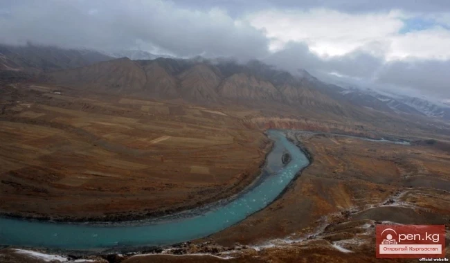
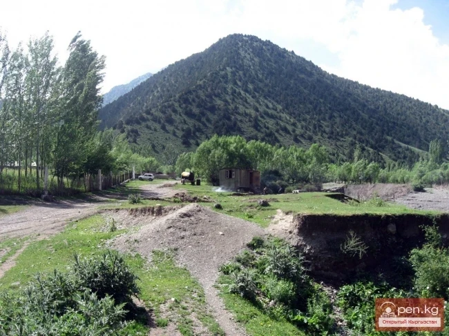
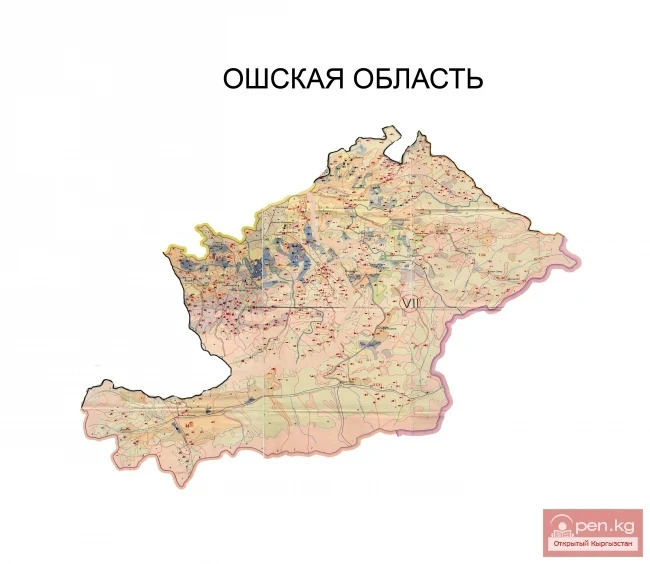
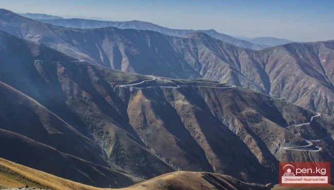
The "Kek-Art" Zone encompasses the surroundings of the city of Jalal-Abad, as well as the valleys of the Kek-Art River and its tributaries from the foothills of the Fergana Range to its watershed. It is located 80 km northeast of Osh city along the highway leading to Jalal-Abad. The climate of the zone is characterized by dry and hot summers with slight temperature fluctuations.

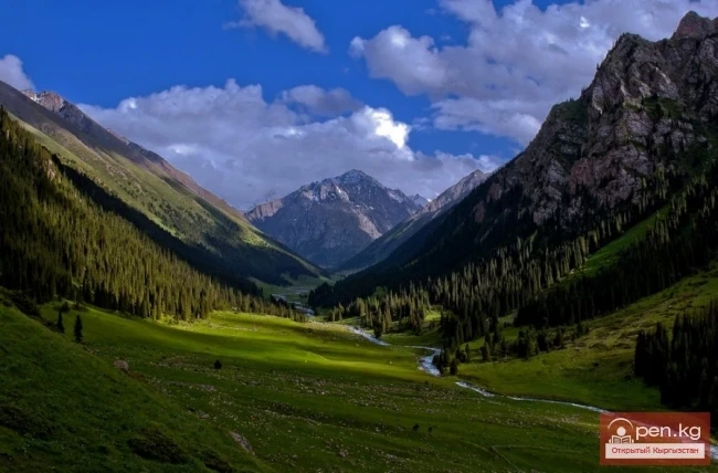
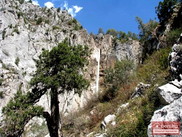
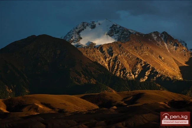
On the mountain slopes surrounding the Kek-Art valley, distinct vertical landscape belts can be observed: steppe, forest with nut-bearing species, transitioning into subalpine and alpine meadows. In the upper reaches, there is a realm of inaccessible rocks and scree.

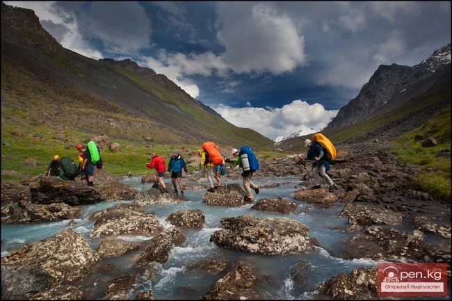
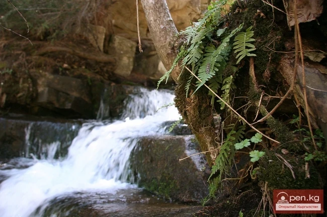
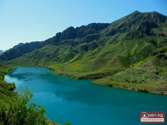
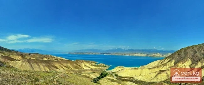
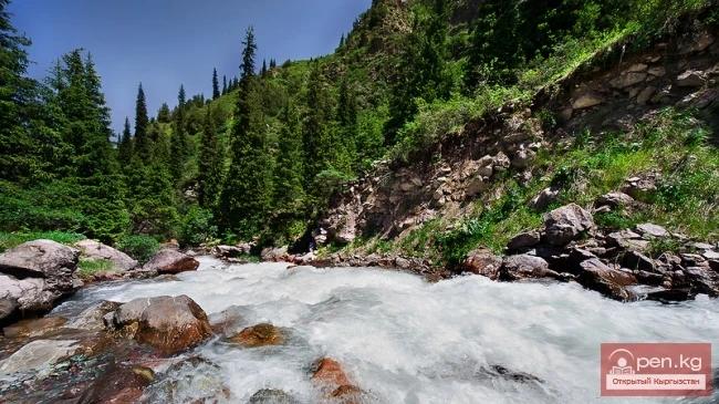
The right tributary of the Kek-Art River is the Kara-Alma River ("wild apple"), which flows in its lower part through a wide forested valley, spreading up to 200 m in width. In the upper reaches, it is a turbulent mountain stream rushing down a narrow rocky gorge, where the steppes at some points come as close as 20 m apart. The Kara-Alma valley is one of the most beautiful places along the southwestern slope of the Fergana Range. It harmoniously fits into the foothills of the Fergana Range, covered with pristine nut-bearing forests. Here, travelers are greeted with a remarkable, rarely beautiful picture of nature's tranquility. This is a true natural health resort for those with lung ailments, where the shaken nervous system quickly recovers.

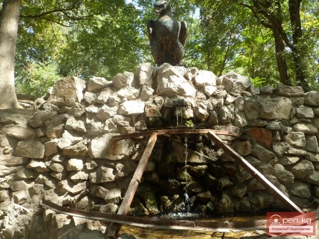
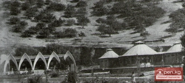
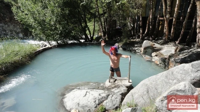
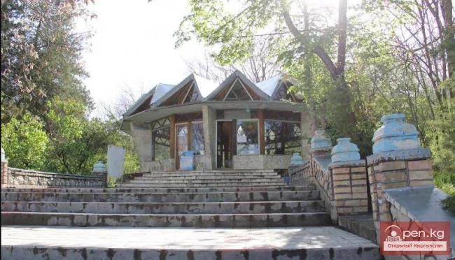
In the vicinity of the city of Jalal-Abad, many mineral water springs have been discovered in the low mountainous desert zone, based on which a resort has been established. It is located at an altitude of 975 m on the summit and slope of Ayub-Tau Mountain, in a large shady park. Its famous springs stand alongside those of the most renowned resorts in the world. Currently, about 10 of the most powerful springs are used for therapeutic purposes, with mineral water temperatures ranging from 23 to 42 degrees. The "Kyz-Bulak" ("girl's spring"), shrouded in many interesting legends, is particularly popular among the springs. Mineral waters and therapeutic muds are used to treat skin, nerve, rheumatic, gastrointestinal, women's diseases, as well as liver and kidney ailments.

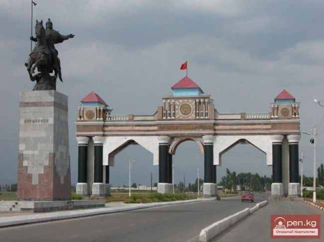
The healing properties of the local springs have been noted since ancient times and have been the reason for mass pilgrimages to these areas. Over time, a settlement named after its founder—the khan's governor Jalal-Itdin—emerged here.

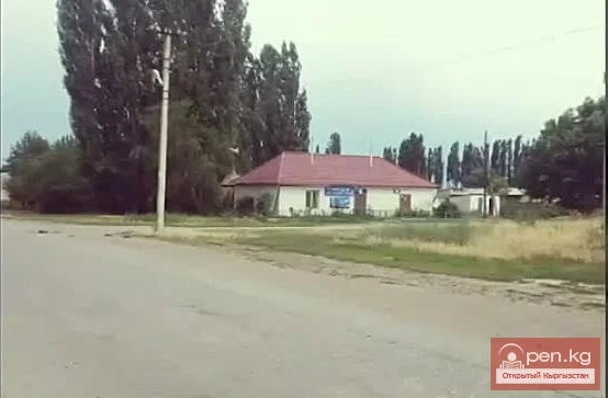
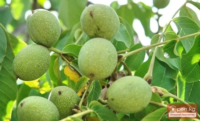
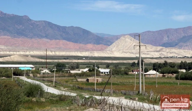
In 1927, Jalal-Abad was granted city status. It is one of the warmest and sunniest cities in the republic. In its surroundings, heat-loving plants are cultivated—cotton, grapes, pomegranates, persimmons, walnuts, and pistachios. The industry is well-developed, with light and food industries playing a leading role. The products of the furniture factory, made from local walnut wood and timber sourced from various regions of the country, are widely known. The city has a Palace of Culture, cinemas, vocational schools, and a network of cultural and educational institutions.
VK X OK WhatsApp Telegram

Read also:

Kyzyl-Unkyur

Kyzyl-Unkyur

The "Kyzyl-Unkyur" Zone is located 15 km northeast of the village of Arslanbap in the...

Kara-Suu

Kara-Suu

The "Kara-Suu" Zone is located in the eastern part of the southern slope of the Chatkal...

Zone "Aflatun"

Zone "Aflatun"

Aflatun Zone is located on the southeastern slopes of the Chatkal Ridge and occupies the basin of...

Zone "Chatyr-Kel"

Zone "Chatyr-Kel"

The Chatyr-Kel Zone includes a significantly elevated intermountain basin with a lake of the same...

"Upper Naryn Zone"

"Upper Naryn Zone"

The "Upper Naryn Zone" includes the upper part of the Naryn River basin from the...

Jalal-Abad

Jalal-Abad

The city is located in the foothills of the Tien Shan mountain range at the foot of the small...

Jalal-Abad Deposit

Jalal-Abad Deposit

Jalal-Abad Deposit is located on the left bank of the Kugar River valley on the southeastern...

Jalal-Abad Region

Jalal-Abad Region

The Jalal-Abad Region was established on November 21, 1939. From January 27, 1959, it became part...

The Village of Massy

The Village of Massy

Massy – a village, the center of the Nooken district. It is located 60 kilometers northwest of the...

Natural Park Kyrgyz-Ata

Natural Park Kyrgyz-Ata

Kyrgyz-Ata Natural Park is located in the basin of the river of the same name, which flows down...

Kugart River

Kugart River

Kugart The Kugart River (Kek-Art), in the valley of the same name in southern Kyrgyzstan, is a...

Zone "Tar"

Zone "Tar"

The "Tar" zone includes the valley of the river of the same name and its tributaries. In...

Dugoba

Dugoba

This area is located 40 km from the village of Kadamjay, where the best antimony in the world is...

The River Aflatun

The River Aflatun

Aflatun River – the largest right tributary of the Kara-Suu River in the Jalal-Abad region. The...

Gava-sai Gorge

Gava-sai Gorge

Gava-Sai Gorge is a right tributary of the Kara-Unkur River, located 20 kilometers northwest of...

Zone "Isfayram-Sai"

Zone "Isfayram-Sai"

Zone "Isfayram-Sai". The left tributary of the Isfayram-Sai River is the Surme-Tash...

Zone "At-Bashi"

Zone "At-Bashi"

The At-Bashi Zone includes the Atbashi-Karakoyun Valley. The center of the zone, the village of...

Small Naryn

Small Naryn

Small Naryn encompasses the valley of the river of the same name, located between the ridges of...

The Valley of Chichkan

The Valley of Chichkan

The Chichkan River flows from the north into the Toktogul Reservoir. It is a small river with...

Zone "Talas"

Zone "Talas"

The "Talas" zone is located in the central part of the Talas River valley and includes...

Zone "Yassy"

Zone "Yassy"

The Yassy Zone occupies the valley of the same name, located near the city of Uzgen, 80 km from...

"Orto-Tokoy Zone"

"Orto-Tokoy Zone"

The Orto-Tokoy Zone encompasses the territorial foothills at the western end of the Terskey...

Chuy Region

Chuy Region

The Chuy Region was established on December 14, 1990. Until 1939, various...

Suusamyr Valley

Suusamyr Valley

The length of the valley is 155 km. It is bordered on the north by the Kyrgyz Ala-Too, on the...

Zone "Ak-Talaa"

Zone "Ak-Talaa"

The "Ak-Talaa" zone includes the valleys of the Ala-Buka, Arpa, and Terek rivers, as...

Zone "Toktogul"

Zone "Toktogul"

The Toktogul Zone includes the Ketmentebin intermountain basin in the lower reaches of the Naryn...

Ak-Talaa

Ak-Talaa

Ak-Talaa includes the valleys of the Ala-Buka, Arpa, and Terek rivers, as well as the southern...

Osh Region

Osh Region

The Osh Region was established on November 21, 1939, replacing the former district. After numerous...

River Karakulja

River Karakulja

Karakulja The Chatkal River in its upper reaches is called Karakulja (translated - Black Ram),...

Kuylytau Ridge

Kuylytau Ridge

Kuylytau A mountain range in the Central Tien Shan, in Kyrgyzstan. It is located between the...

"Chon-Kemin Zone"

"Chon-Kemin Zone"

Chon-Kemin Zone includes the valleys of the Chon-Kemin and Kichi-Kemin rivers between the high...

River Kyzyl-Suu

River Kyzyl-Suu

Kyzyl-Suu (Kyzyl-Suu River, Красная река) - a river in Kyrgyzstan and Tajikistan, the right source...

Zone "Kety"

Zone "Kety"

Kegety Zone is located 75 km from Bishkek in the gorge of the same name on the road to the village...

Semenov Glacier

Semenov Glacier

Semenov Glacier - the basin of the upper reaches of the Sarydjaz River. This basin includes the...

Write a comment: