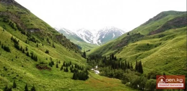
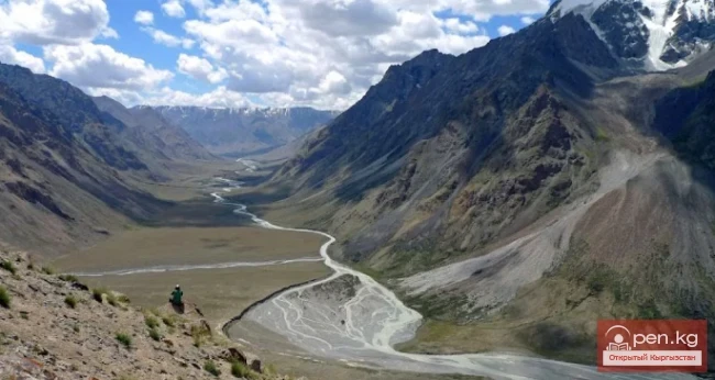
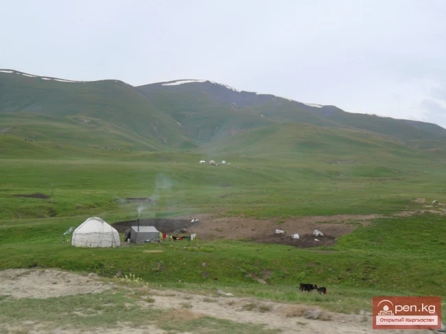
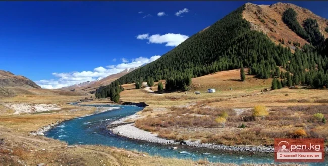
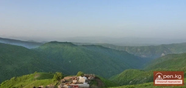
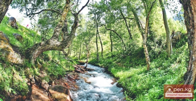
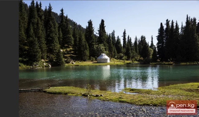
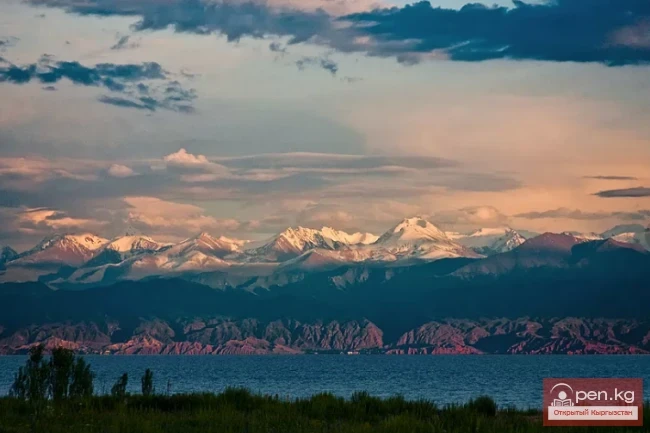
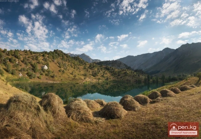
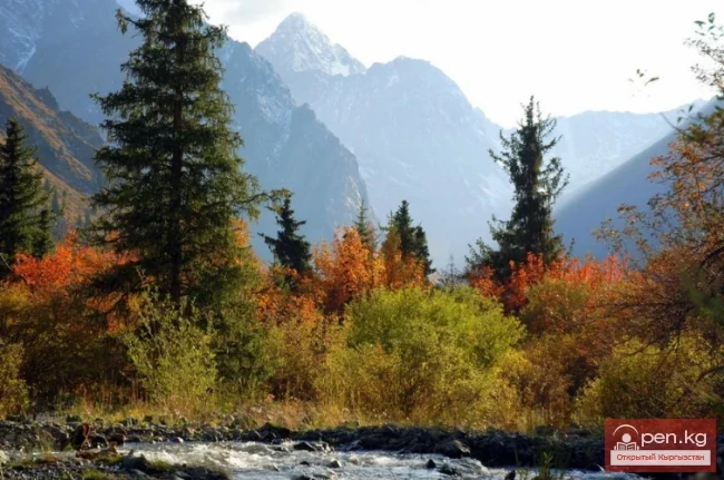
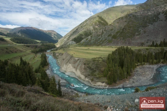
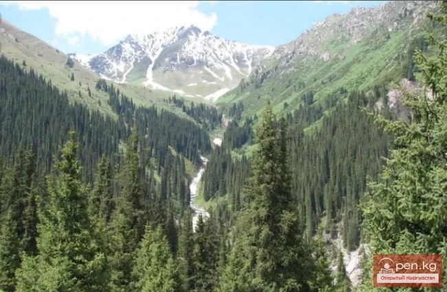
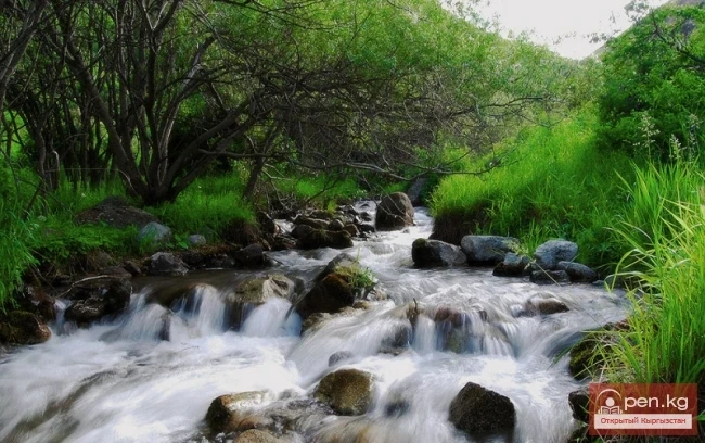
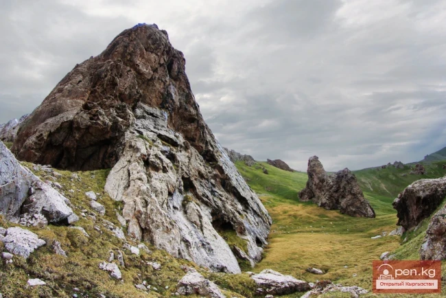
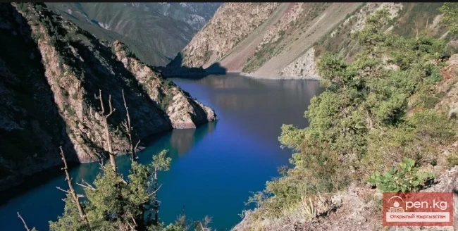
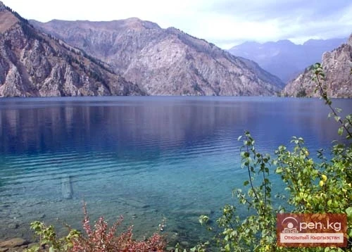
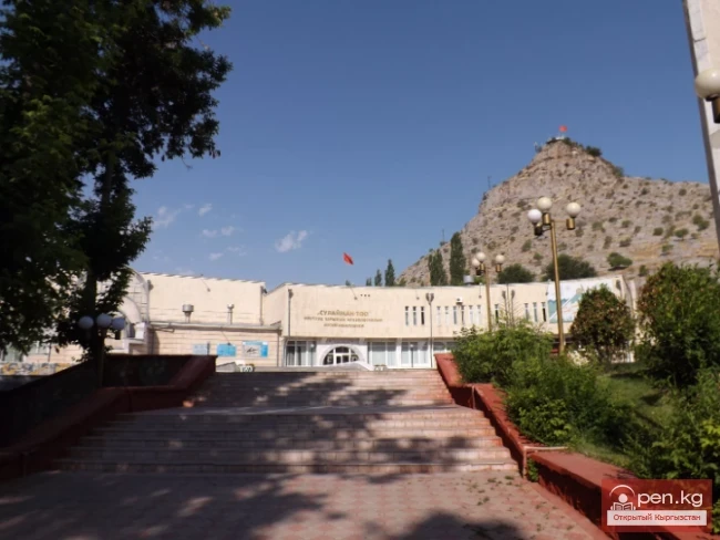
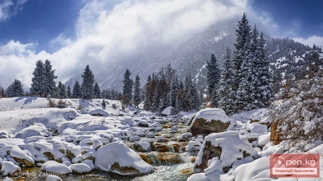
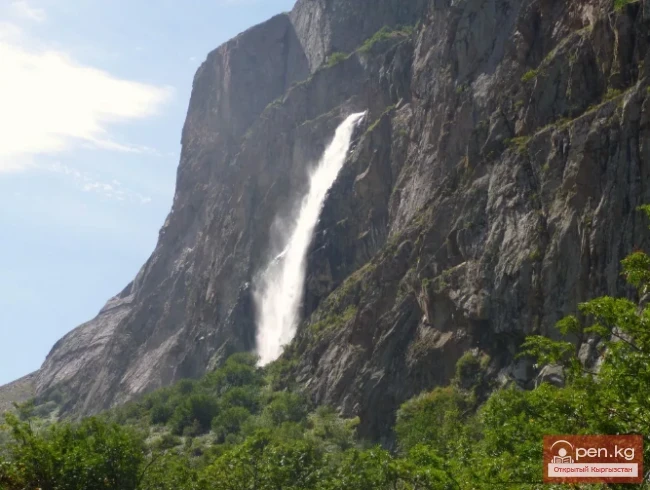
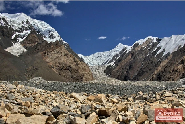
The State Nature Reserve "Surma-Tash" inspires with its beauty and uniqueness.
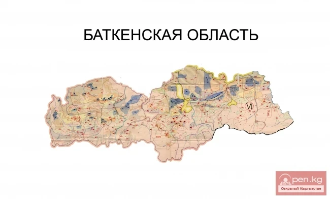
The Surmatash State Reserve is a specially protected natural area in Kyrgyzstan, established in 2009, located in the Kadamjai District of the Batken Region.
It was organized by the resolution of the Government of the Kyrgyz Republic dated June 27, 2009, No. 414, with the aim of:
ensuring the preservation of unique natural complexes and biological diversity, protecting rare and endangered species of animal and plant life, and expanding the network of specially protected natural areas.
The area of the reserve is 66,194 hectares.
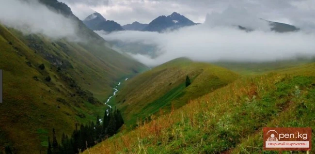
The initial zone for describing the boundaries of the reserve is taken at an altitude of 2300 m to the confluence of the Tegirmach and Isfayram-Sai rivers, then in a southeast direction along the ridge between the Tegirmach and Isfayram-Sai rivers, up to an altitude of 4013 m to the Debet ridge.

Next, the boundary line runs along the Debet ridge in a southwest direction, to the confluence of the Chon-Debet streams.
Then the boundary runs along the Tenizbay river to the altitude of 3662 m, from here along the ridge to the altitude of 4060 m and to the Kayindy river, and then in a northwestern direction to the border of the Chon-Alaï District of the Osh Region up to the altitude of 4770 m.
Next, from the beginning of the Surma-Tash river to the beginning of the Archa-Konush river.
From the northeastern part at an altitude of 2000 m to the beginning of the Shebe river to the altitude of 4064 m, then the boundary runs along the Debet ridge and converges with the starting point.
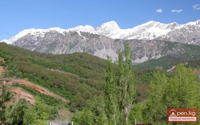
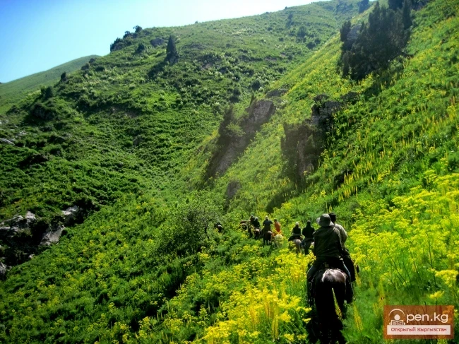
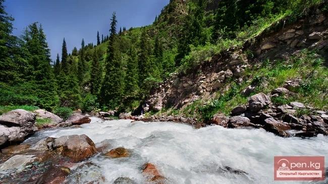
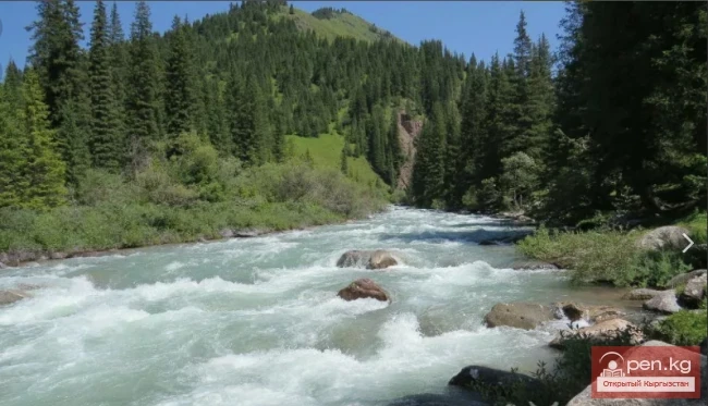
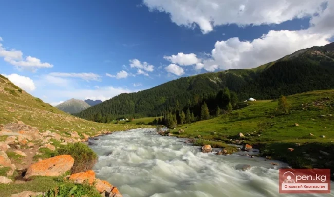
The reserve is home to rare animals such as the snow leopard, lynx, and other wild animals. Additionally, a bear has recently been brought in, which is listed in the Red Book. These places are particularly favorable for wild animals.

The flora of the area is quite diverse: various tree species — fir, apricot, rowan, willow, poplar, plum, hawthorn, and many types of medicinal herbs.
In the reserve, there is a stone wall made of stones of various sizes. It turns out that the road was laid more than a century ago by 1500 captured Austrians. The broken stone wall halfway, steep roads, and the rushing river create a sense of the grandeur of Nature. People seem small against the backdrop of ancient mountain ranges that once swallowed a huge black stone, engraved by the captive workers with the date "1915".

The necessity of creating the Surmatash State Reserve is determined by the requirements for improving the preservation of unique natural complexes and biological diversity, the development of tourism, recreational use of natural resources, and the expansion of the network of specially protected natural areas in the republic. The establishment of this state reserve has created conditions for organizing and conducting scientific research, developing environmental education activities and ecotourism, attracting investments, and implementing international projects in this region with the involvement of local communities and residents, which will directly reflect on improving the ecological situation in the Batken Region.