Peak Adygene.
It is located at the top of the gorge of the same name on the northern slope of the central part of the Kyrgyz Range. The peak is the highest point of the Jalamysh Ridge. Its height is 4393 m above sea level. North of Peak Adygene is Peak Agitators, from which a ridge runs eastward leading to the summit of Elektro. Between the two peaks, Elektro and Adygene, lies the Adygene Pass.
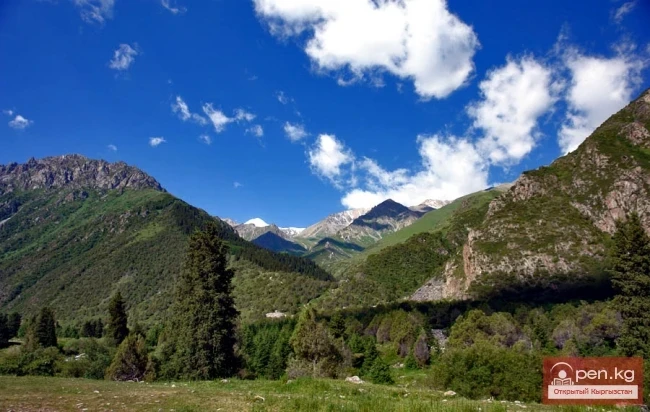
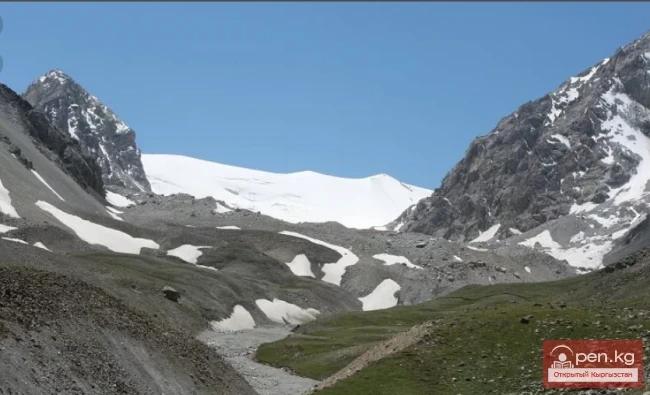
From Peak Adygene, a short ridge extends westward. The summits of the western slope drop off into steep cliffs. On the northern slope of the summit, there is a hanging glacier that gradually transitions into the Tez-Tor glacier. From the Ala-Archa gorge and the city of Bishkek, the summit of Adygene resembles an ice pyramid.
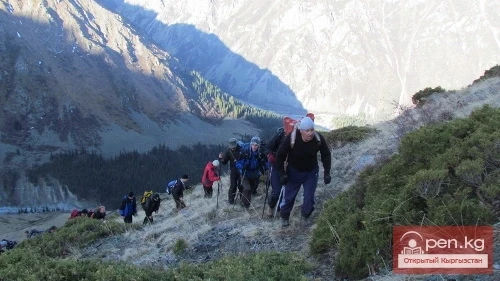
Since the establishment of the Ala-Archa climbing camp, Peak Adygene has become a recognized summit for beginner climbers.
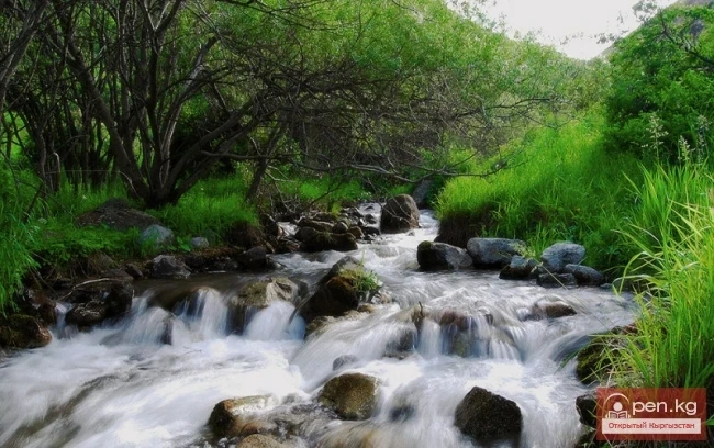
From the Ala-Archa alpine camp, the route to the peak passes through the Adygene gorge. The mouth of the gorge is located 950 meters below the alpine camp. On the right side of the Adygene gorge, there is a trail that goes through a forest of Tien Shan firs.
Beyond the forest, a meadow of tall grass begins, which in some places is taller than a human. After the meadow, the trail runs above the river, through a subalpine meadow, then descends to the river. The trail then follows the left bank of the river all the way to the Elektro alpine camp.
From the Elektro campsite, the path goes along a grassy slope to an old moraine. Then there is an ascent to the Adygene Pass. From the pass, the climb to the peak begins up a slope covered with medium-sized scree.
The ascent to Peak Adygene from the Ala-Archa alpine camp takes beginner climbers between 20 to 22 hours.