Drawings of Saymalu-Tash

admin Attractions of Kyrgyzstan
VK X OK WhatsApp Telegram
Saymaluu-Tash Drawings


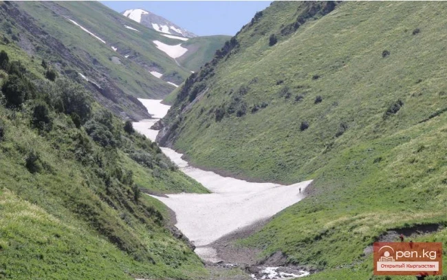
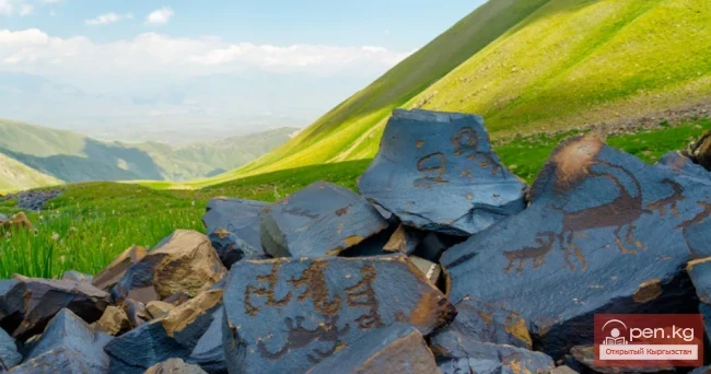
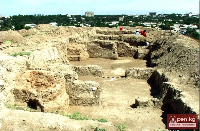
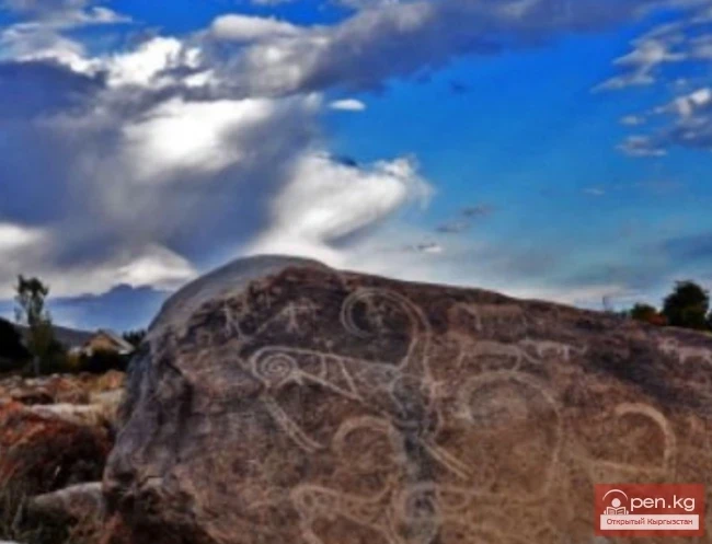
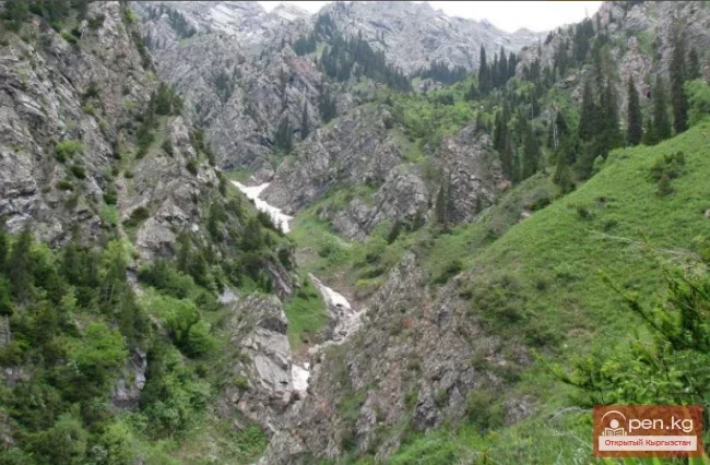
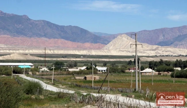
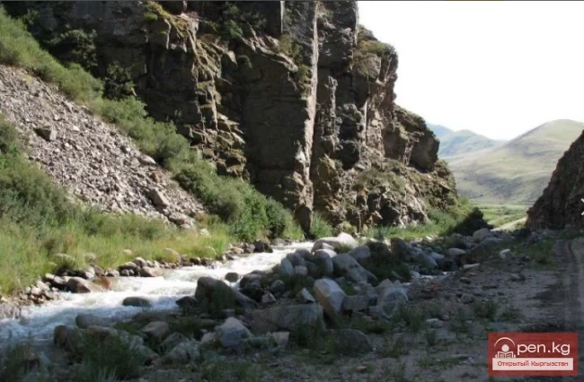
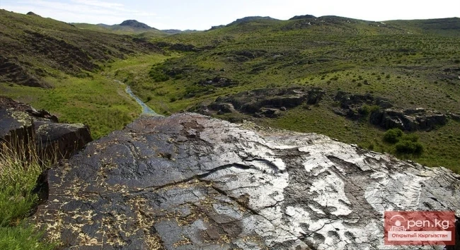
Saymaluu-Tash is a small plateau hidden at an altitude of over 3000 meters among the peaks of the Fergana Range near the Kugart Pass. Saymaluu-Tash translates to "patterned, painted stone," but it is not just a stone or a solitary rock covered in petroglyphs; it is a vast gallery of tens of thousands of stones scattered chaotically by nature, on the black surfaces of which one or two, or even several highly artistic drawings can be clearly seen.

In the rock paintings of Saymaluu-Tash, there is no background. The figures of animals and people are freely placed on the surface of the stone. Depending on the angle of sunlight, they either blaze brightly, sharply contrasting with the color of the stone's surface, or completely blend in with it.

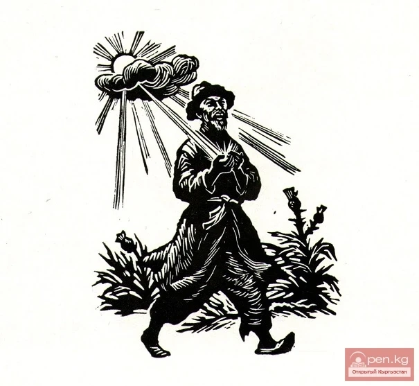
The drawings depict: animals, carts, plowing, ritual dances - there is no doubt that the ancient farmer, invoking a happy birth and fertility in nature, directed his prayers to the sky and the sun. The cultic nature of such scenes is emphasized by pairs of men and women symbolizing fertility.

The enormous number of solar symbols in the Saymaluu-Tash drawings convinces us that sun worship was the primary form of religion. The images of the sun left by ancient artists in Saymaluu-Tash take the most whimsical and incredible forms.

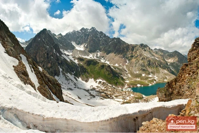
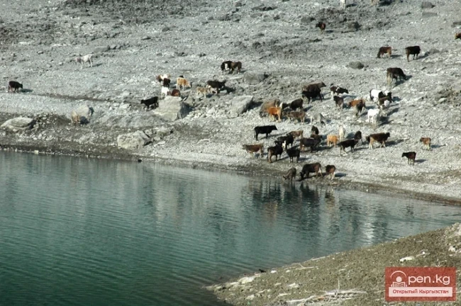
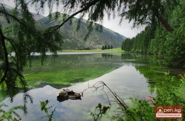
The drawings of Saymaluu-Tash spread across both sides of the Fergana Range. On the northeastern slope of the range, there are 91,900 images. On the southwestern slope, there are 15,625. In total, the stone gallery contains 107,525 images. The center of their concentration is marked on the eastern slope of the range, near a small glacial lake, which was apparently revered as sacred. Both Fergana farmers and Naryn herders would come to it.
VK X OK WhatsApp Telegram

Read also:

Lake Ai-Kyol

Lake Ai-Kyol

Moon Lake On the northern slope of the Turkestan Range lies Lake Ai-Köl, which translates to...

Lake Kapka-Tash

Lake Kapka-Tash

Lake Kapka-Tash (local residents call it Kol-bashi, which translates to "Source, beginning...

Kyzyl-Unkyur

Kyzyl-Unkyur

The "Kyzyl-Unkyur" Zone is located 15 km northeast of the village of Arslanbap in the...

Small Naryn

Small Naryn

Small Naryn encompasses the valley of the river of the same name, located between the ridges of...

The Valley of Chichkan

The Valley of Chichkan

The Chichkan River flows from the north into the Toktogul Reservoir. It is a small river with...

Jalal-Abad Region

Jalal-Abad Region

The Jalal-Abad Region was established on November 21, 1939. From January 27, 1959, it became part...

Zhalay Range

Zhalay Range

Zaalai Ridge A ridge oriented in a latitudinal direction, separating the Pamir and the Alai...

"Chil-Ustun Zone"

"Chil-Ustun Zone"

The Chil-Ustun Zone includes the Chil-Ustun, Chil-Mayram, and Keklik-Too mountains located around...

Kek-Art

Kek-Art

The "Kek-Art" Zone encompasses the surroundings of the city of Jalal-Abad, as well as...

Meridional Ridge

Meridional Ridge

Meridional Ridge The main nodal uplift of the Central Tien Shan on the border of Kyrgyzstan and...

Upper Naryn

Upper Naryn

Upper Naryn includes the upper part of the Naryn River basin from the vicinity of the town of...

Terskey Alatoo Ridge

Terskey Alatoo Ridge

Terskey Alatau The Terskey Alatau Ridge is very beautiful in its variety of landscapes. In one...

Ak-Talaa

Ak-Talaa

Ak-Talaa includes the valleys of the Ala-Buka, Arpa, and Terek rivers, as well as the southern...

The Saridzhaz Ridge

The Saridzhaz Ridge

Sarydjaz The mighty snow-covered barrier of the Sarydjaz mountain range rises in the Central Tian...

Semenov Glacier

Semenov Glacier

Semenov Glacier - the basin of the upper reaches of the Sarydjaz River. This basin includes the...

The Village of Kazarman

The Village of Kazarman

KazarMan – a village in central Kyrgyzstan, the administrative center of the Toguz-Toro district....

Lake Kara-Suu

Lake Kara-Suu

Lake Kara-Suu is located in the Toktogul district. It is a dam-type lake, and its level depends on...

Lenin Glacier

Lenin Glacier

Lenin Glacier — a mountain valley glacier on the northern slope of the Zaalai Range (Pamirs), in...

Fergana Range

Fergana Range

Fergana Ridge A mountain range in the Tien Shan that stretches from southeast to northwest,...

Mushketov Glacier

Mushketov Glacier

Mushketov Glacier A valley tree-like glacier in the Central Tien Shan in Kyrgyzstan (Issyk-Kul...

Lake Kulun

Lake Kulun

Kulung - "foal" The Kulung and Kulung Minor lakes are a group of lakes, enchanting with...

Lake Suttu-Bulak

Lake Suttu-Bulak

Lake Suttyu-Bulak or "Milk Lake" The lake is located in the "Semenovskoye"...

River Kyzyl-Suu

River Kyzyl-Suu

Kyzyl-Suu (Kyzyl-Suu River, Красная река) - a river in Kyrgyzstan and Tajikistan, the right source...

Gava-sai Gorge

Gava-sai Gorge

Gava-Sai Gorge is a right tributary of the Kara-Unkur River, located 20 kilometers northwest of...

Write a comment: