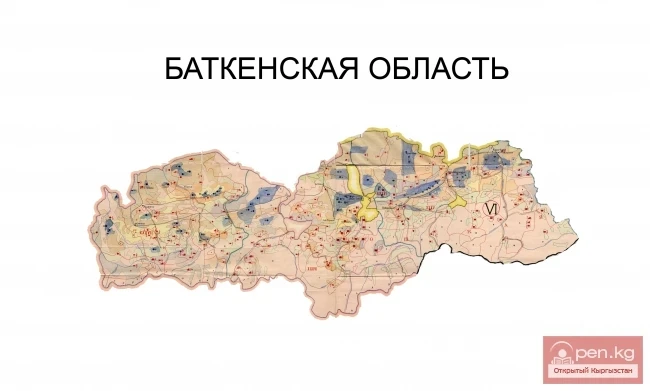
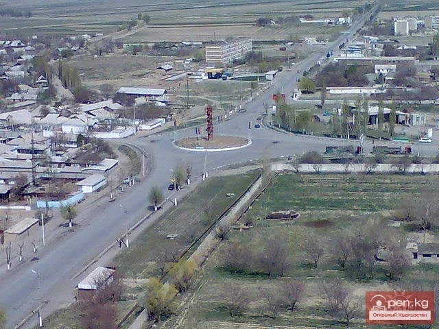
Isfana— a small town located on the outskirts of the western part of the Batken region in southern Kyrgyzstan.
Isfana is situated in the southern part of the Fergana Valley, in a region surrounded on three sides by Tajikistan. According to some sources, the word "Isfana" comes from the Sogdian word "aspanakent," meaning "land of horses." It is believed that the word "Isfana" originates from the Sogdian words "asbanikat," "asbanikent," or "aspanakent," which also mean "land of horses." Isfana began to be settled around the 9th century. In the 1st-9th centuries, Isfana was known as Asbanikat. In the 10th-12th centuries, it was called Aspanikent. Starting from the 12th-13th centuries, the name of the city gradually changed: Asbani, Aspana, Asvona, Isvona, and finally, Isfana.
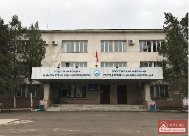
Isfana is the administrative center of the Leilek district. The villages of Myrza-Patcha, Samat, Chimgan, Taylan, Ak-Bulak, and Golbo are managed by the city administration of Isfana. According to data published on the official city website, the population of Isfana and the subordinate villages is approximately 28,085 people. Directly in Isfana, there are 18,900 residents (as of 2017).
The total area of Isfana city is 252 hectares, Myrza-Patcha village – 26 hectares, Samat village – 116 hectares, Chimgan village – 87 hectares, Taylan village – 49 hectares, Ak-Bulak village – 30 hectares, Golbo village – 28 hectares. Agricultural land in the Isfana city administration area totals 6,494 hectares (irrigated 1,187 hectares, rain-fed 5,307 hectares), hayfields 872 hectares, pastures 15,673 hectares, perennial crops 134 hectares, and household plots of citizens 686 hectares. The land is suitable for growing all types of grain crops, as well as vegetables, potatoes, fruits, melons, and oilseeds.
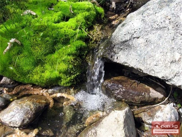
In general, this small town in southern Kyrgyzstan has a very interesting lineage. Firstly, Isfana can be considered one of the youngest cities in our country. Secondly, as if to prove the etymology of its name "land of horses," the prairie city remains one of the greenest and least touched by civilization places on the map of Kyrgyzstan. Let’s explain why.
You might be surprised, but this year Isfana turns only 14 years old. On the other hand, Isfana began to be settled back in the 16th century.
Thus, the city is quite young, but with a rich history. It all comes down to formalities.
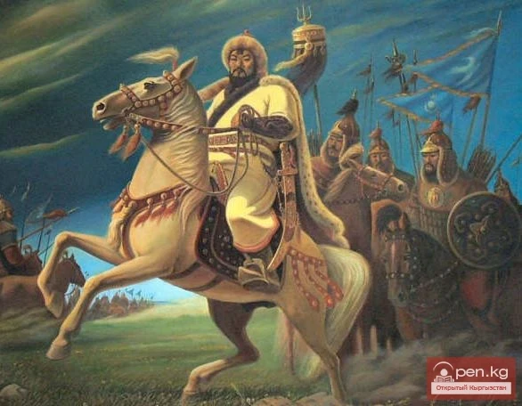
The settlement that would later be called Isfana indeed emerged in the 16th century. At different times, the city belonged to various states, which is why the culture and traditions of Isfana's residents have a unique color and identity. The "land of horses" was part of the states that ruled over the lands now belonging to modern Uzbekistan.
From 1790 to 1876, Isfana was part of the Kokand Khanate. In the mid-19th century, the Russian Empire began its expansion into Central Asia. By the end of the 19th century, the empire had conquered all three khanates that ruled over the territory of modern Uzbekistan, including the Kokand Khanate, which became part of the Russian Empire in 1876.
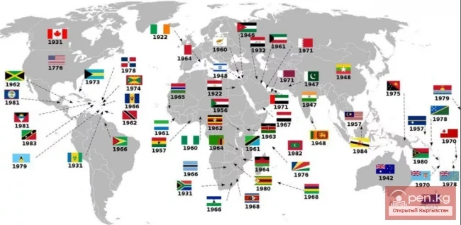
Despite the fact that Isfana was historically an Uzbek settlement, it became part of modern Kyrgyzstan. When the Russians divided the Turkestan Autonomous Socialist Soviet Republic into autonomous regions, Isfana became part of the Kara-Kyrgyz Autonomous Region, which was later transformed into the Kyrgyz ASSR. The Kyrgyz ASSR, in turn, was transformed into the Kyrgyz SSR. After the collapse of the USSR, the Kyrgyz SSR became Kyrgyzstan. Thus, despite the fact that the majority of the population in Isfana were Uzbeks, it became part of Kyrgyzstan.
Some sources claim that the administrative borders during the Soviet era were drawn ignoring the boundaries of natural ethnic communities, so that these peoples would be dependent on Moscow and easier to govern. According to these sources, individual republics were created to reduce the risk of pan-Turkic and pan-Islamic movements in Central Asia. This strategy is sometimes referred to as Joseph Stalin's principle of "divide and conquer."
Currently, there are many traditionally Uzbek settlements in Kyrgyzstan. Many people in Central Asia believe that they should be part of another country. Some scholars argue that since during the demarcation of Central Asia representatives of different nationalities lived together in many places, it was impossible to clearly delineate ethnic and territorial borders.
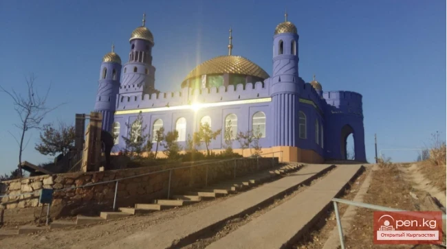
Isfana underwent significant changes during the Soviet period. The Isfana village council was established in 1937. During the Soviet era, Isfana was transformed from an underdeveloped Muslim village into a typical Soviet village. During World War II, 571 residents of the village went to the front, of whom 385 died.
In 1996, the Isfana village council was transformed into a rural administration. In 2001, Askar Akayev issued a presidential decree that officially granted Isfana city status. The Isfana village council was established in 1937. In 1996, it was transformed into a rural administration. In 2001, Askar Akayev issued a presidential decree that officially granted Isfana city status.

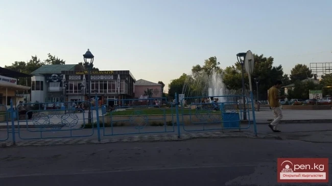
Isfana Today
Isfana is the administrative center of the Leilek district. The villages of Myrza-Patcha, Samat, Chimgan, Taylan, Ak-Bulak, and Golbo are managed by the city administration of Isfana. According to data published on the official city website, the population of Isfana and the subordinate villages is approximately 28,085 people. Directly in Isfana, there are 18,900 residents (as of 2017).
The city is home to representatives of about 7 ethnic groups, including Kyrgyz, Uzbeks, Tatars, Tajiks, Russians, Kurds, Bashkirs, Kazakhs, and representatives of other nationalities.
Isfana is located in the western part of the Batken region, 150 km from the regional center of Batken city. The road from Osh to Isfana passes through the district centers of Nookat, Kadamjai, and Batken districts and partially through the territory of the Sogdian region of the Republic of Tajikistan.
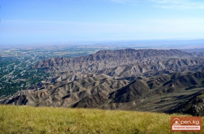
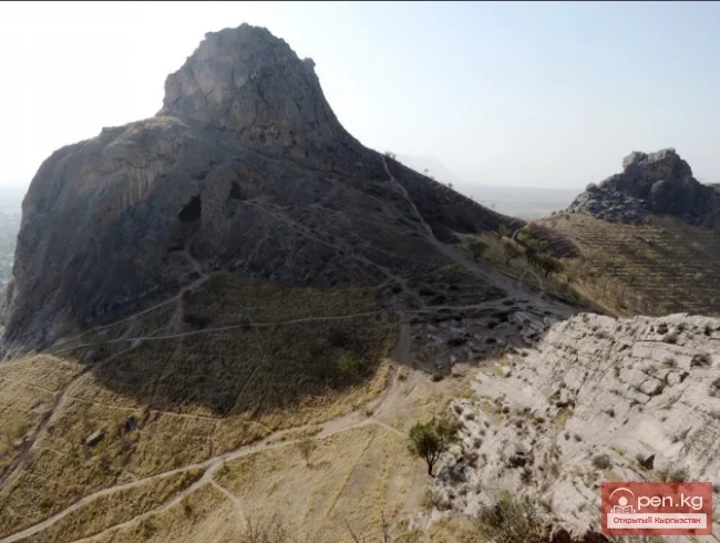
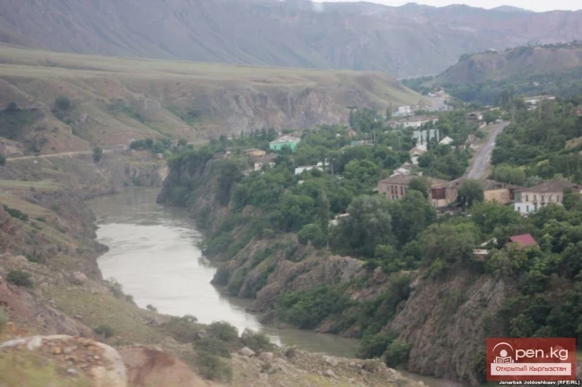
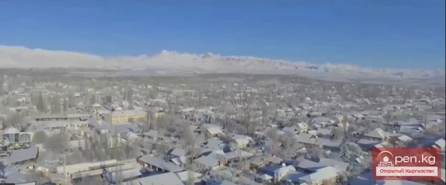
The city of Isfana is surrounded by mountains on three sides. The mountains can be quickly reached, as they are located just a few kilometers from the city. The highest of these mountains are the mountains of the Turkestan Range to the south of Isfana.
Economic Potential
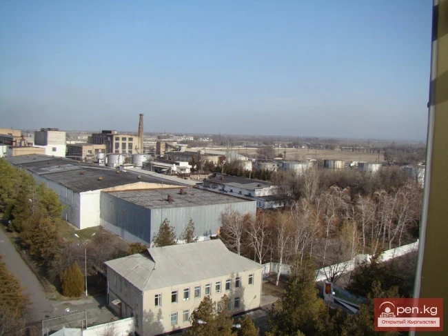
During the Soviet era, Isfana had several factories. The city had a large collective farm. However, after the country gained independence in 1991, almost all factories closed.
Most residents of Isfana are engaged in trade and agriculture. Livestock farming is also common. Residents involved in agriculture grow fruits, vegetables, and grain crops.
For interesting finds, one can visit the markets of the city. There are two in Isfana. Vendors bring goods from the markets of Osh, Kara-Suu, and Khujand. The city also has a livestock market, which is open on Thursdays and Fridays.
Isfana has no access to the sea. The nearest railway station is located 45 km away in the urban-type settlement of Proletarsk in the Sogdian region of the Republic of Tajikistan. Isfana is located 150 km from the regional center of Batken city.
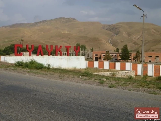
Isfana is 16 km away from the city of Suluktu.
Transport
Public transport in Isfana is underdeveloped. The city has minivans as public transport. Private taxis can also be found on the roads of the city. There is a bus station in the city. From the bus station, one can reach other regions of the country by bus and taxi.
Many streets in Isfana are unpaved. The roads are in very poor condition and need repair. Isfana is connected to other populated areas of the country by highways. After the collapse of the USSR, the road connecting Isfana with the cities of Batken and Osh was not repaired for a long time. Kyrgyzstan received a loan from the World Bank, the European Bank for Reconstruction and Development, and the Asian Development Bank for the reconstruction of this road. Isfana is located 960 km from Bishkek. It takes about 20 hours to travel from Isfana to the capital.
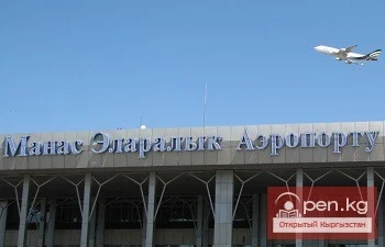
The city is served by the Isfana airport, which was built during the Soviet era. Therefore, if you plan to visit the eastern city, take the Bishkek-Isfana flight.
The Isfana airport began its operation in the 1940s as a runway near Isfana. After the closure of the Kalacha Airport, which served the residents of Suluktu, the residents of Suluktu began to use the services of Isfana airport. The runway and terminal of Isfana airport were built in 1974. In the 1980s, Isfana airport was closed due to technical problems. It did not function for 20 years. In 2007, the runway and terminal were repaired, and the airport resumed operations.
Isfana airport only serves domestic flights.
Educational Institutions
Isfana has many educational institutions. The city has two gymnasiums: Gymnasium No. 1, which is better known as the Kyrgyz Gymnasium, and Gymnasium No. 4 named after Usmon Matkarimov, which is better known as the Uzbek Gymnasium. Both gymnasiums accept more motivated children. There are also six secondary schools. The largest schools are Alisher Navoi Secondary School, Yuri Gagarin Secondary School, and Isfana Secondary School. In many educational institutions, instruction is conducted in four languages — Kyrgyz, Uzbek, Russian, and English.
Isfana is home to a branch of the International Academy of Management, Law, Finance, and Business, the main campus of which is located in Bishkek. The city also has vocational school No. 48, which trains tailors, carpenters, electricians, and drivers.
Isfana has two libraries, a general library and a children's library. Both libraries are public libraries. The general library is located in the cultural center building. The general library has 42,515 copies, while the children's library has 27,206.
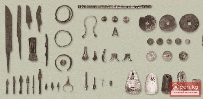
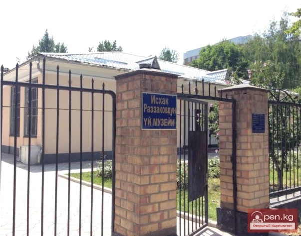
The city has three museums: the Historical Museum (founded in 1986), the Museum of Ishak Razzakov (founded in 1990), and the Glory Museum (founded in 1990). There is a children's music school in the city where children learn to sing, dance, and play various musical instruments such as the accordion, komuz, and piano. Until 2014, the school also had classes for playing the daira, dutar, and rubab. The city also has a children's creative center that offers courses in drawing, dancing, sculpture, knitting, computers, and foreign languages.
Isfana has only one park — the Samat Sadykov Park. In the middle of the park, there is a football field where public events take place. The stadium accommodates five thousand people. The main cinema in Isfana ceased to function after the collapse of the USSR.
There is an Uzbek cultural center in the city, which has almost ceased to function after the interethnic clashes between Kyrgyz and Uzbeks in June 2010. During the clashes that occurred from June 10 to 14, the situation in Isfana was tense, but large-scale clashes between the two ethnic groups were avoided.
The city publishes one district newspaper, "Ata Jurt" (once a week, with a circulation of 1,500 copies) in the Kyrgyz language.
The climate of Isfana is sharply continental. Winters are long and very cold. Summers are usually hot. The most precipitation occurs in spring and autumn. In summer, there is somewhat less precipitation.
For a rich harvest in Isfana, a number of wheat and barley fields depend on seasonal snow and rain. Summer in Isfana is long, usually lasting from May to September. In summer, it can sometimes get very hot. There is little precipitation in summer, especially from June to September.